The best hiking routes in Vallée de la Romme
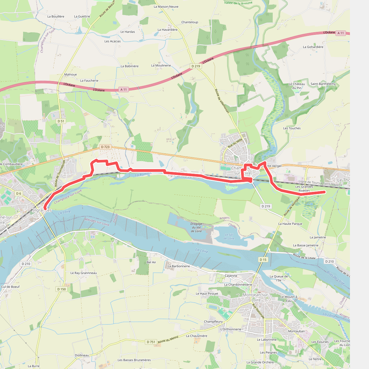
Discover the best walks in Vallée de la Romme. 1 routes on the map, with descriptions, photos and GPX.
Managed by Conseil départemental du Maine-et-Loire
About Vallée de la Romme
Vallée de la Romme offers a walk through a low-lying damp landscape shaped by the small Romme river in Maine-et-Loire. Unlike drier plateau walks nearby, this valley floor is characterized by a network of ponds, marshes, and peat bogs. The terrain is flat and low, meaning walkers will spend their time navigating a mix of damp alluvial soils, grassy paths, and occasional wooden footbridges designed to cross the marshy sections. It is not a place for wide panoramic views or dry ridge walking, but rather an intimate look at wetland vegetation and still waters.
Read more
About Vallée de la Romme
Vallée de la Romme offers a walk through a low-lying damp landscape shaped by the small Romme river in Maine-et-Loire. Unlike drier plateau walks nearby, this valley floor is characterized by a network of ponds, marshes, and peat bogs. The terrain is flat and low, meaning walkers will spend their time navigating a mix of damp alluvial soils, grassy paths, and occasional wooden footbridges designed to cross the marshy sections. It is not a place for wide panoramic views or dry ridge walking, but rather an intimate look at wetland vegetation and still waters.
Read moreVallée de la Romme offers a walk through a low-lying damp landscape shaped by the small Romme river in Maine-et-Loire. Unlike drier plateau walks nearby, this valley floor is characterized by a network of ponds, marshes, and peat bogs. The terrain is flat and low, meaning walkers will spend their time navigating a mix of damp alluvial soils, grassy paths, and occasional wooden footbridges designed to cross the marshy sections. It is not a place for wide panoramic views or dry ridge walking, but rather an intimate look at wetland vegetation and still waters.
As you walk, the transition between open water and colonizing woodland is highly visible. You will pass from open, reed-fringed ponds directly into damp willow and alder woods, where the ground feels soft underfoot. The landscape here is a direct result of traditional peat cutting and water management, which left behind the distinct rectangular ponds that now dictate the path of the walking trails.
In late spring, particularly around May, the marsh marigolds and iris species color the wet ditches along the paths, making this the best time to observe the wetland flora. The main tracks are generally wide and flat, though they can be muddy and soft, requiring sturdy footwear. While the area is popular with local anglers around the ponds, the deeper woodland paths remain relatively quiet.