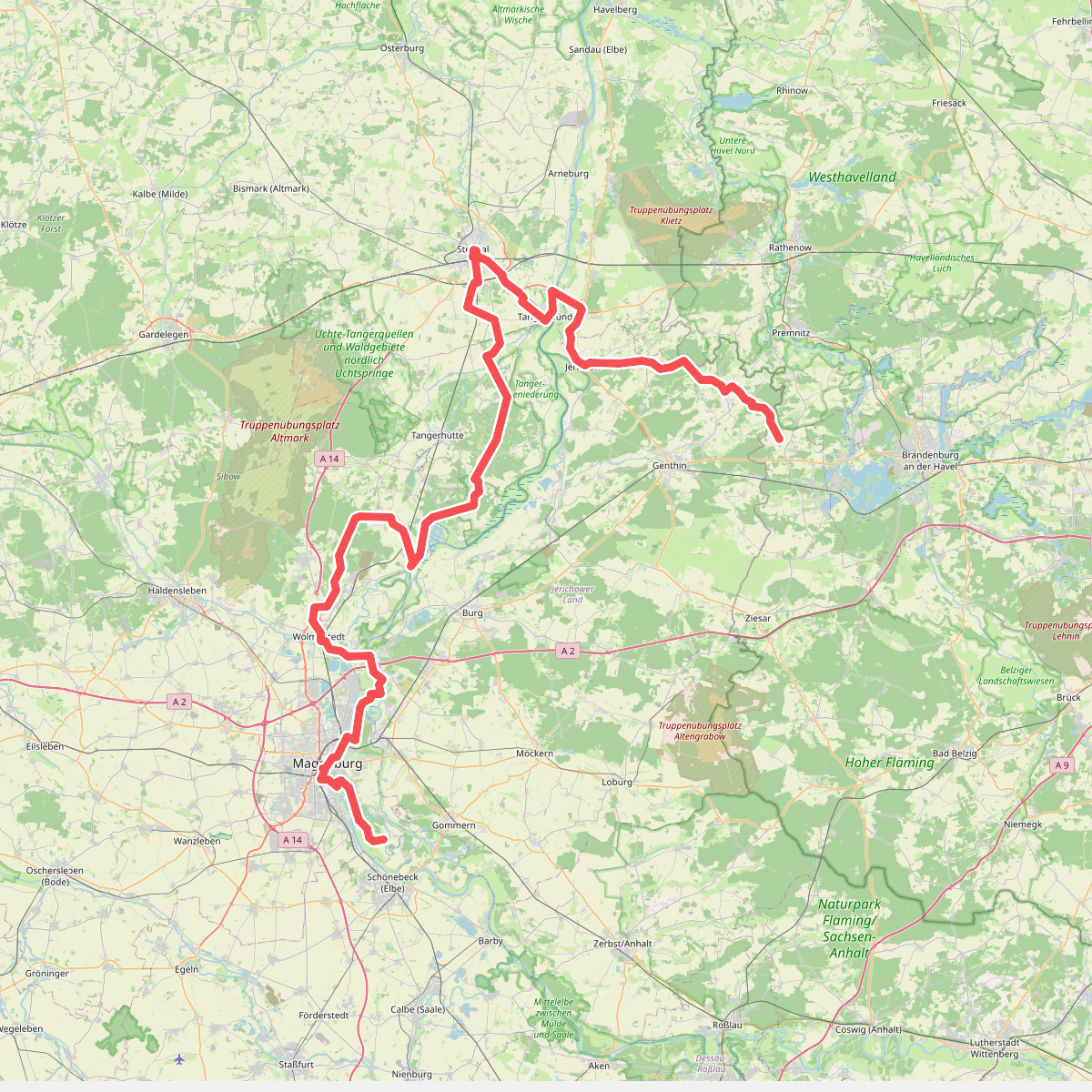
The best hiking routes in Tanger-Elbeniederung
Discover the best walks in Tanger-Elbeniederung. 1 routes on the map, with descriptions, photos and GPX.
About Tanger-Elbeniederung
The Tanger-Elbeniederung offers a distinct contrast between the wide, flat floodplain of the Elbe and the slightly elevated, sandy terraces of the Tanger river valley. Walkers will find a landscape shaped by water management and agriculture, where open alluvial meadows are partitioned by drainage ditches, hedges, and rows of pollard willows. This is not a territory of dramatic cliffs or deep forests, but rather a low-lying riverine plain where the transition from wet clay soils to dry, sandy margins dictates the vegetation and the path conditions.
Read more
About Tanger-Elbeniederung
The Tanger-Elbeniederung offers a distinct contrast between the wide, flat floodplain of the Elbe and the slightly elevated, sandy terraces of the Tanger river valley. Walkers will find a landscape shaped by water management and agriculture, where open alluvial meadows are partitioned by drainage ditches, hedges, and rows of pollard willows. This is not a territory of dramatic cliffs or deep forests, but rather a low-lying riverine plain where the transition from wet clay soils to dry, sandy margins dictates the vegetation and the path conditions.
Read moreThe Tanger-Elbeniederung offers a distinct contrast between the wide, flat floodplain of the Elbe and the slightly elevated, sandy terraces of the Tanger river valley. Walkers will find a landscape shaped by water management and agriculture, where open alluvial meadows are partitioned by drainage ditches, hedges, and rows of pollard willows. This is not a territory of dramatic cliffs or deep forests, but rather a low-lying riverine plain where the transition from wet clay soils to dry, sandy margins dictates the vegetation and the path conditions.
Underfoot, the routes alternate between firm grassy embankments, unpaved agricultural tracks, and sandy paths along the drier edges of the valley. While the dikes provide elevated, dry footing with clear views across the pastures, the lower paths through the meadows can be soft and damp, reflecting the natural drainage patterns of the river system. A network of small bridges and sluices allows walkers to cross the various channels that crisscross the lowlands.
In late spring, particularly around May, the damp meadows are marked by flowering wild herbs, while the drier sandy sections support sparse pine stands and heath-like grasses. The area is generally quiet, though the paths closer to the Elbe dike receive more recreational cyclists and walkers than the interior tracks along the smaller Tanger stream. It is a practical landscape for those who appreciate quiet, flat walking along functional waterways and working farmland.