

The best hiking routes in Saar-Hunsrück
Discover the best walks in Saar-Hunsrück. 182 routes on the map, with descriptions, photos and GPX.
About Saar-Hunsrück
The Saar-Hunsrück region is characterized by a transition from deep river valleys to a high, forested slate plateau. Walkers will notice a distinct contrast between the steep, vineyard-clad slopes of the Saar and Mosel valleys and the windy, rolling heights of the Hunsrück ridge. The lower elevations feature narrow, rocky paths cut into shale, while the upper plateau consists of dense beech forests, open meadows, and wet upland bogs known locally as Weyrichsbruch. This is not a region of high alpine peaks or dramatic gorges, but rather a landscape of constant elevation changes, where climbs are short but frequent.
Read more
About Saar-Hunsrück
The Saar-Hunsrück region is characterized by a transition from deep river valleys to a high, forested slate plateau. Walkers will notice a distinct contrast between the steep, vineyard-clad slopes of the Saar and Mosel valleys and the windy, rolling heights of the Hunsrück ridge. The lower elevations feature narrow, rocky paths cut into shale, while the upper plateau consists of dense beech forests, open meadows, and wet upland bogs known locally as Weyrichsbruch. This is not a region of high alpine peaks or dramatic gorges, but rather a landscape of constant elevation changes, where climbs are short but frequent.
Read moreThe Saar-Hunsrück region is characterized by a transition from deep river valleys to a high, forested slate plateau. Walkers will notice a distinct contrast between the steep, vineyard-clad slopes of the Saar and Mosel valleys and the windy, rolling heights of the Hunsrück ridge. The lower elevations feature narrow, rocky paths cut into shale, while the upper plateau consists of dense beech forests, open meadows, and wet upland bogs known locally as Weyrichsbruch. This is not a region of high alpine peaks or dramatic gorges, but rather a landscape of constant elevation changes, where climbs are short but frequent.
Underfoot, the terrain varies significantly depending on your altitude. Valley trails often consist of stony, slate-strewn paths that require careful stepping, particularly where tree roots cross the track. On the high plateau, the ground changes to soft forest soil, wide grassy tracks, and occasional wooden boardwalks designed to carry walkers over the damp, peat-rich soils of the upland moors. In October, the beech forests on the heights turn a deep copper, making the plateau walks particularly distinctive.
While the well-known viewpoint at the Saarschleife bend attracts regular day-trippers, the vast network of paths through the interior forests is much quieter. You will find that the landscape is heavily shaped by forestry and traditional agriculture, with open fields suddenly giving way to dense spruce and oak stands. Choosing where to walk here depends on your preference for steep, rocky valley climbs or flatter, more exposed forest tracks across the windy slate ridges.
Hiking routes in Saar-Hunsrück (182)
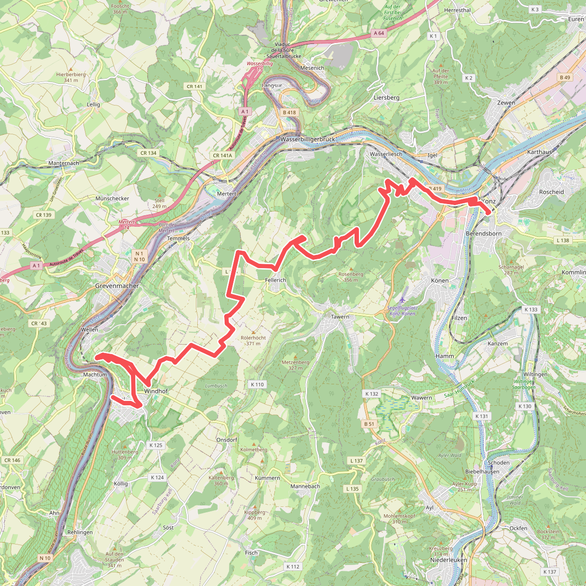
#1. Nittel - Konz · Moselsteig etappe 3
Nittel,Wellen,Temmels,Tawern,Oberbillig,Wasserliesch,Konz
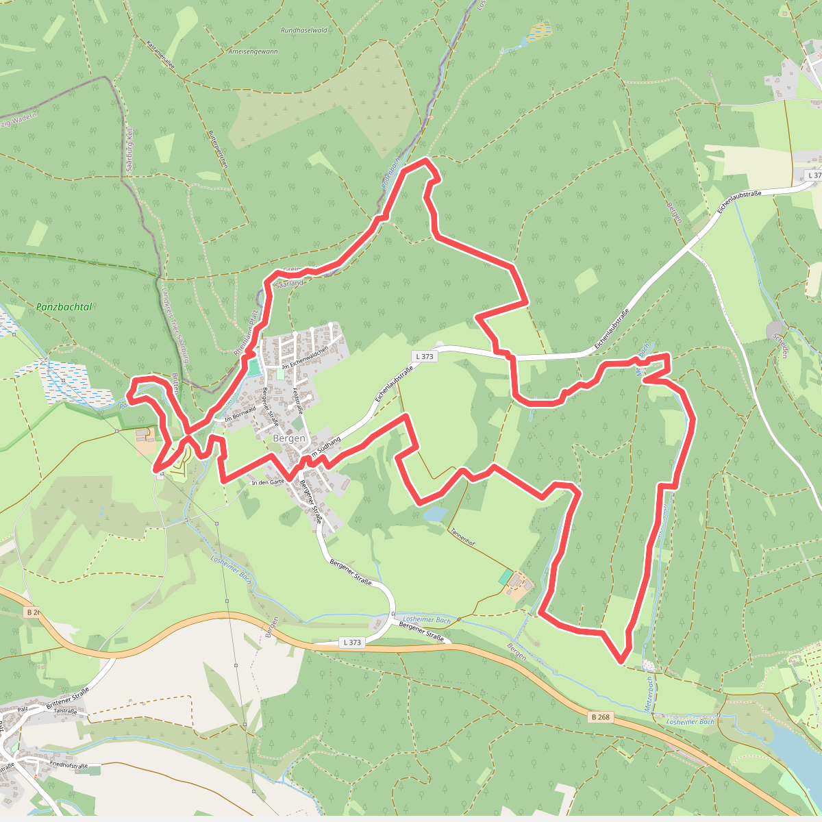
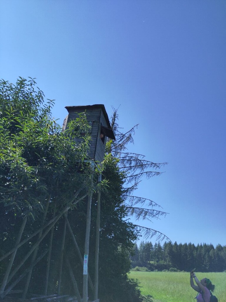
#2. Der Bergener
Losheim am See,Greimerath
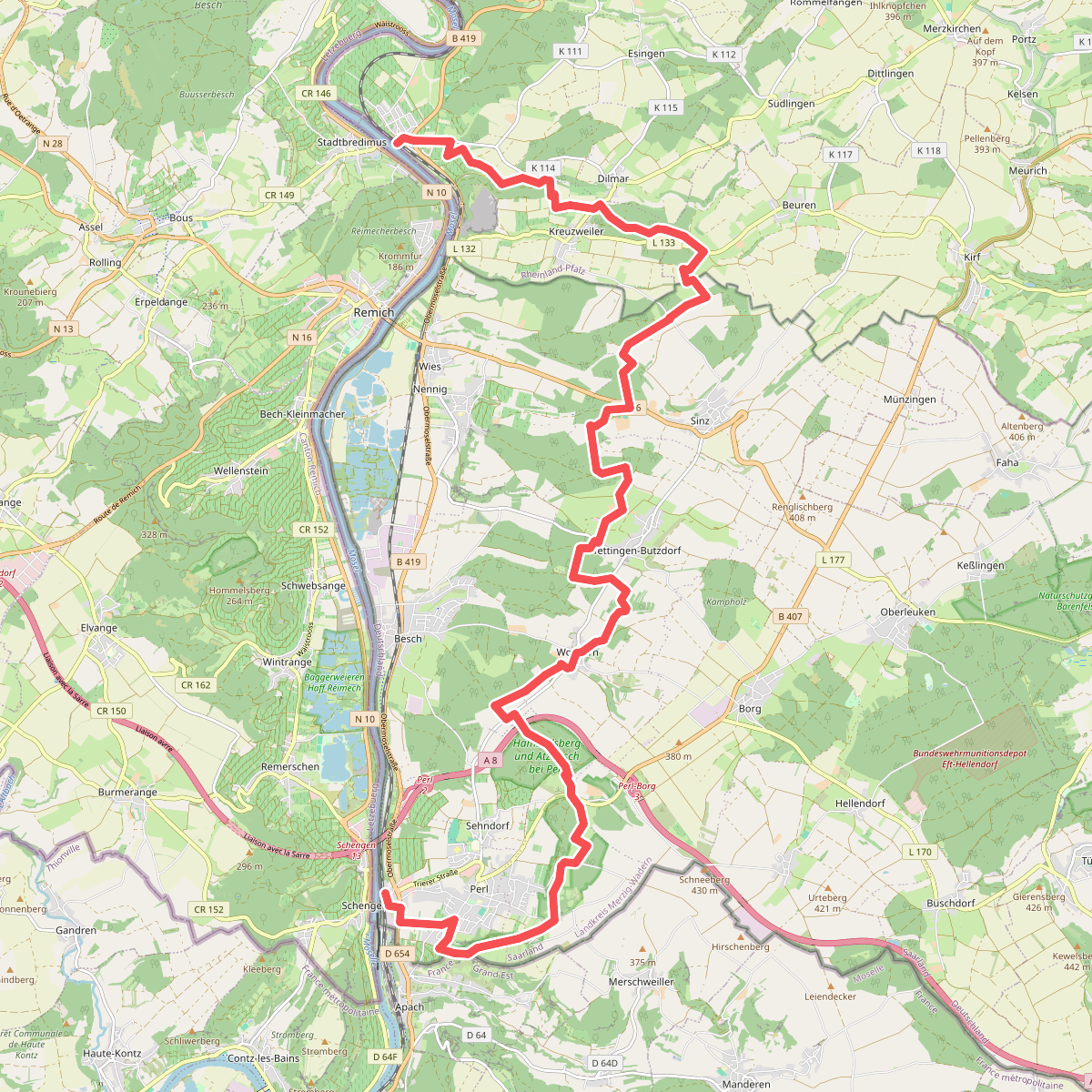
#3. Perl - Palzem · Moselsteig etappe 1
Perl,Kirf,Palzem
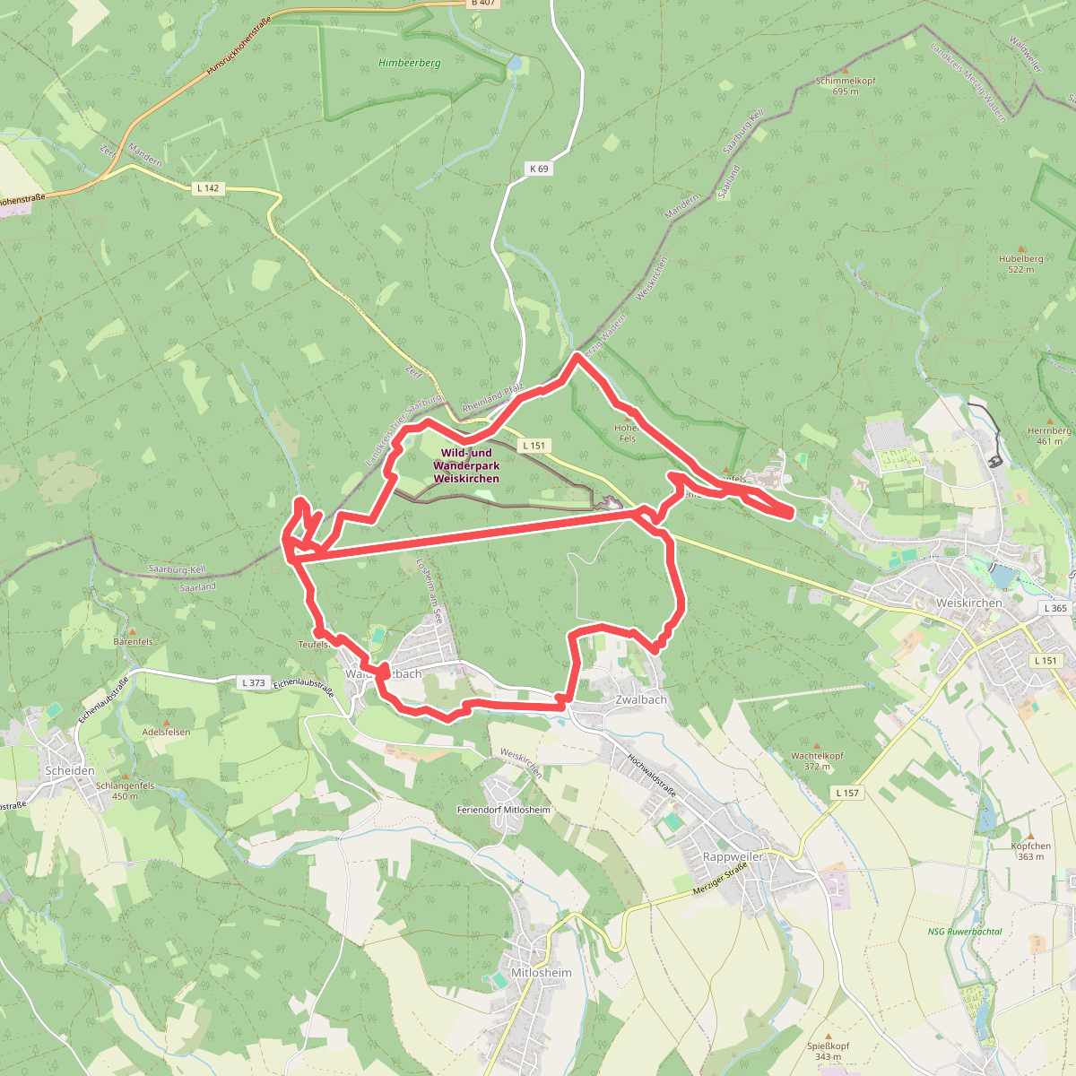
#4. 2-Täler-Weg
Weiskirchen,Losheim am See
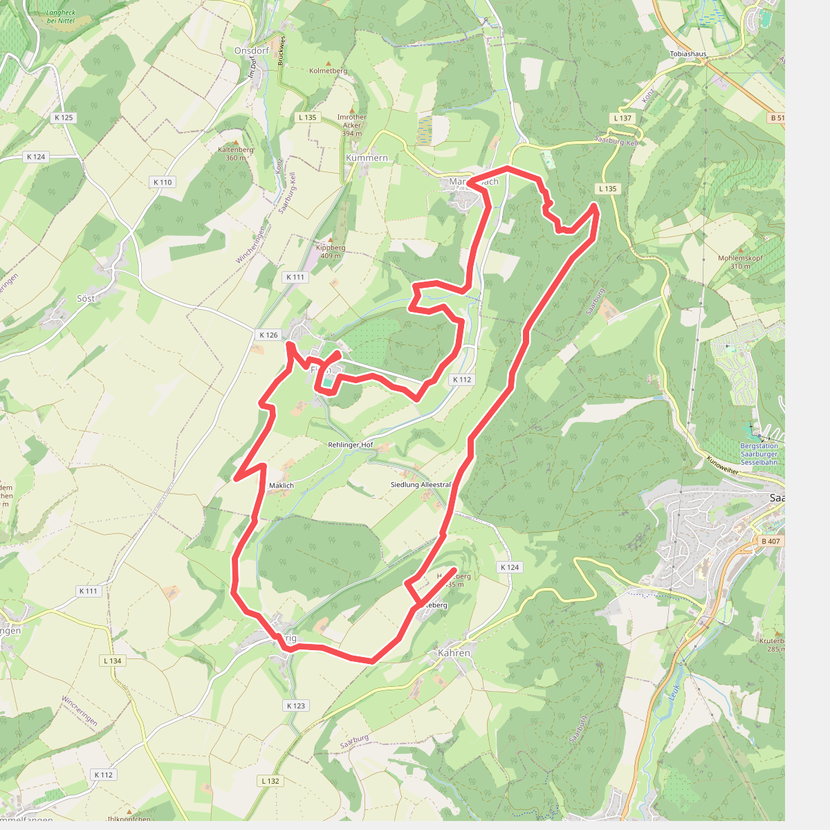
#5. 3-Dörfer-Weg
Mannebach,Fisch,Saarburg,Merzkirchen
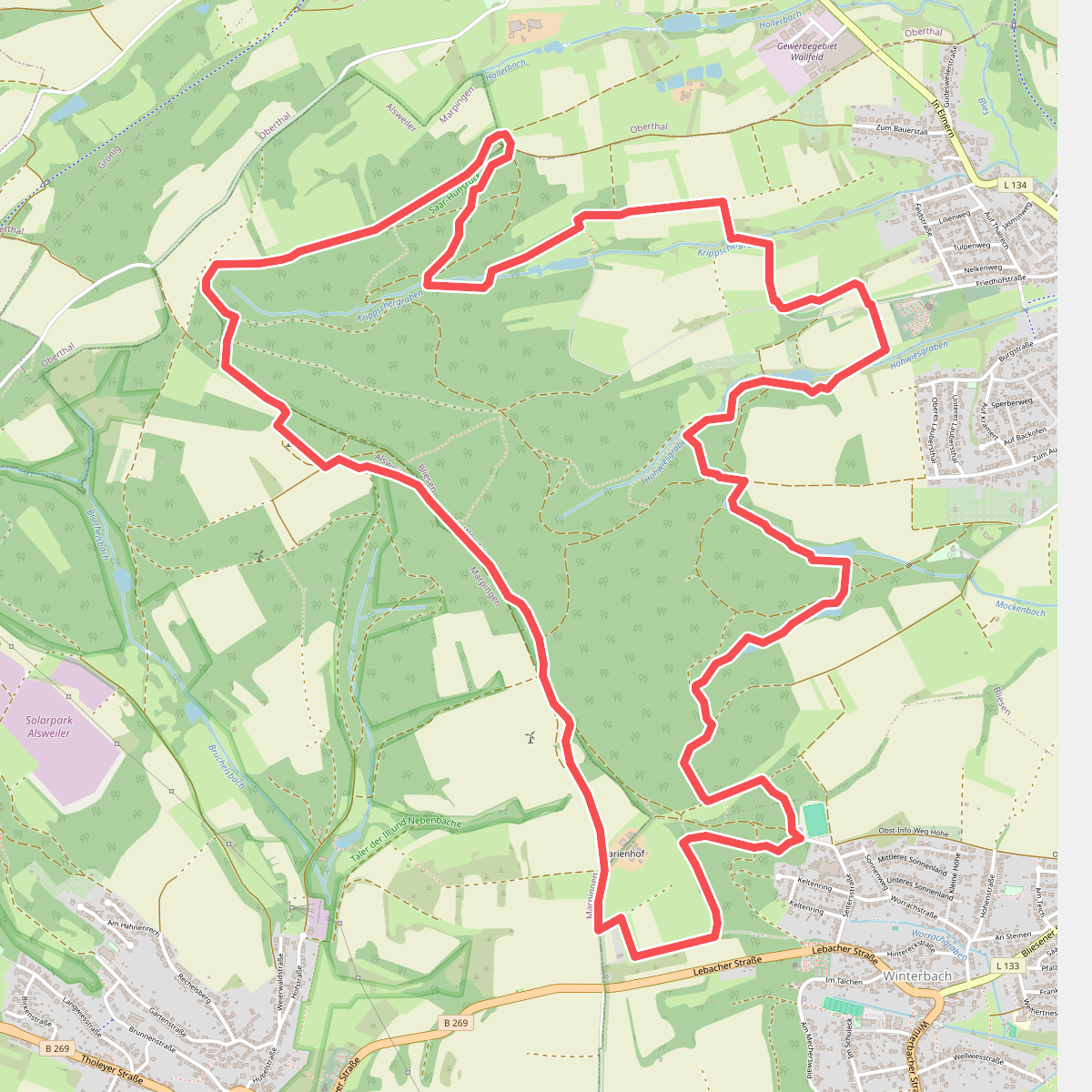
#6. 5-Weiher-Tour
Sankt Wendel,Marpingen,Oberthal
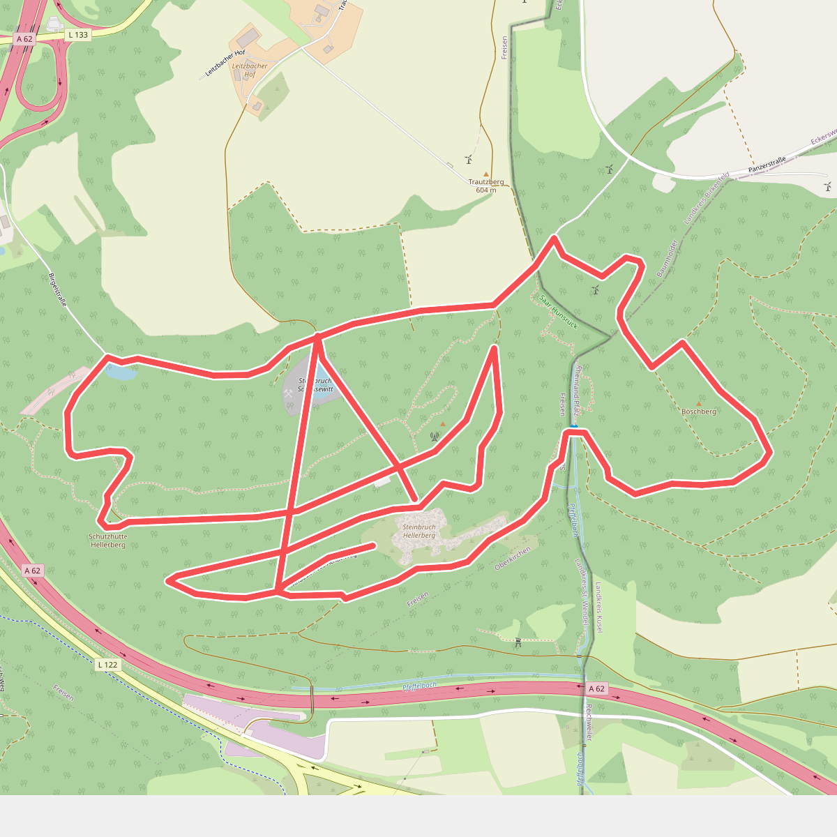
#7. Achatweg Freisen
Freisen,Reichweiler,Eckersweiler
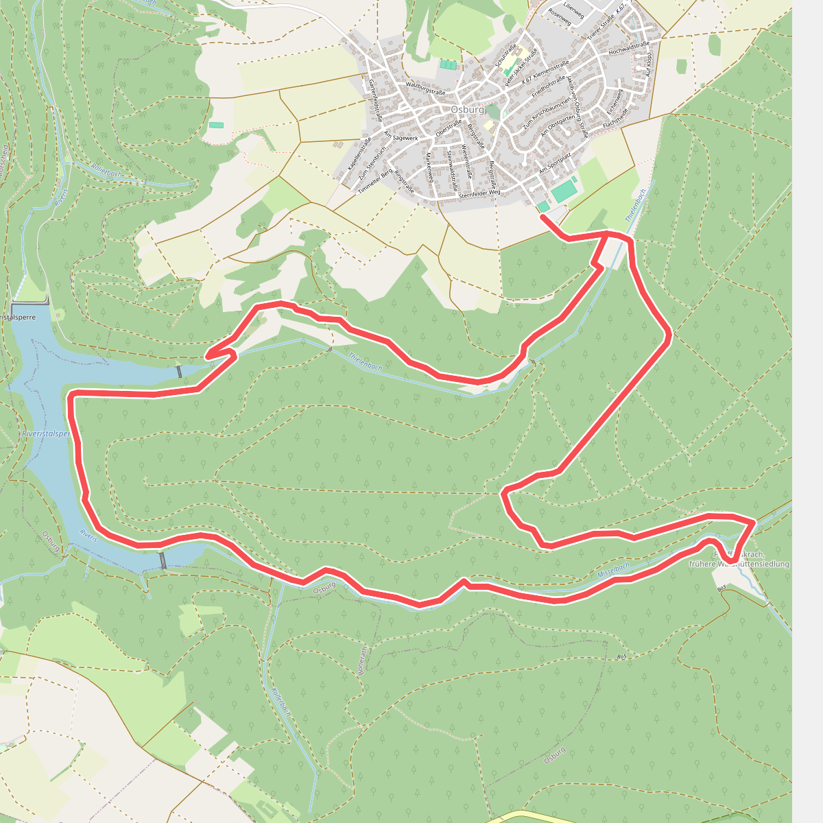
#8. Ameisenschleife
Osburg
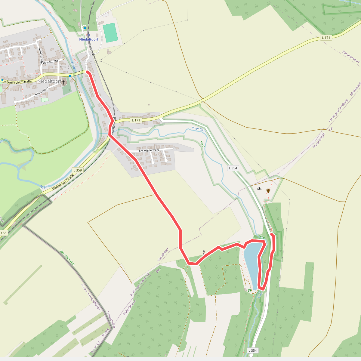
#9. Ammonitenweg
Wallerfangen,Rehlingen-Siersburg
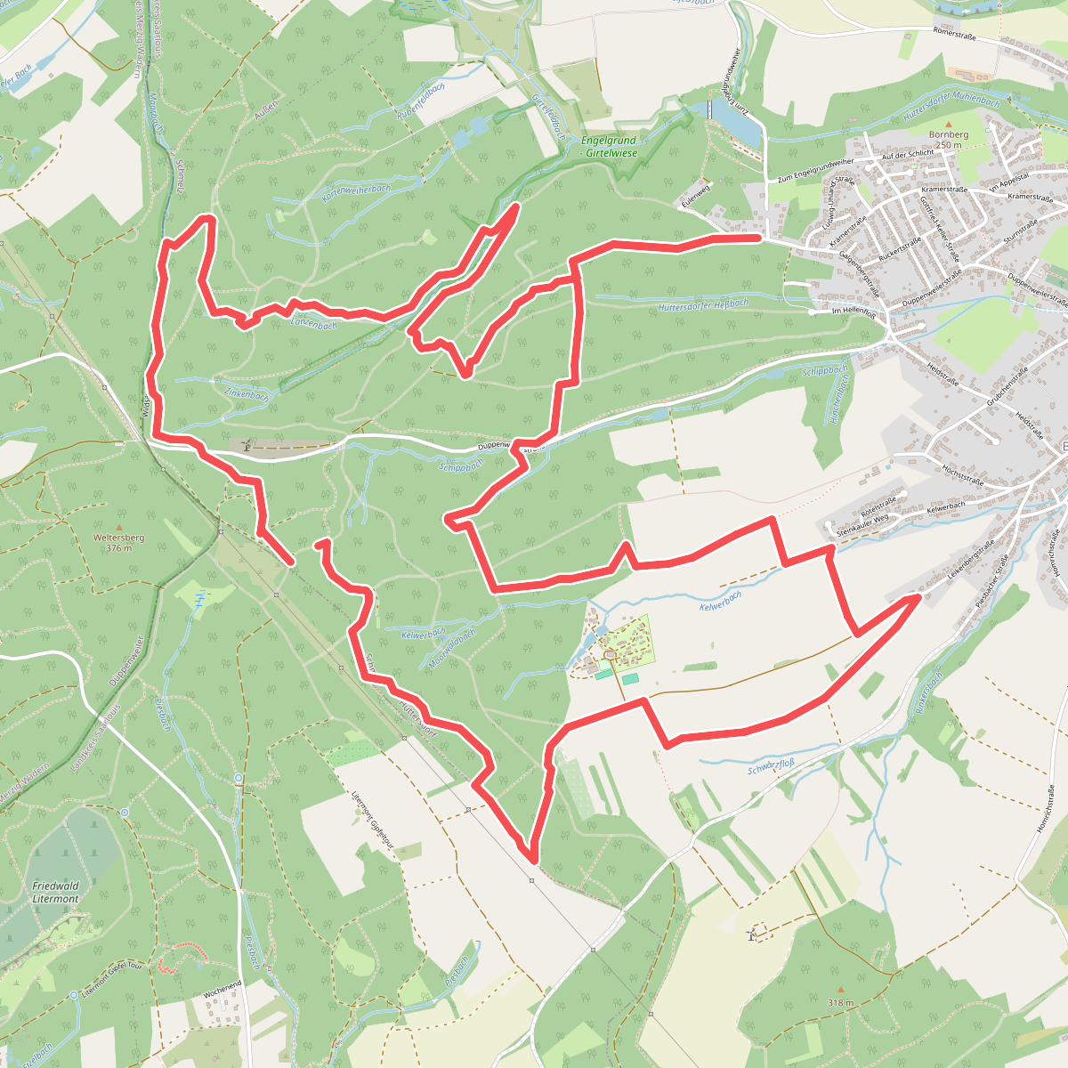
#10. Bach- und Burrenweg
Schmelz,Nalbach
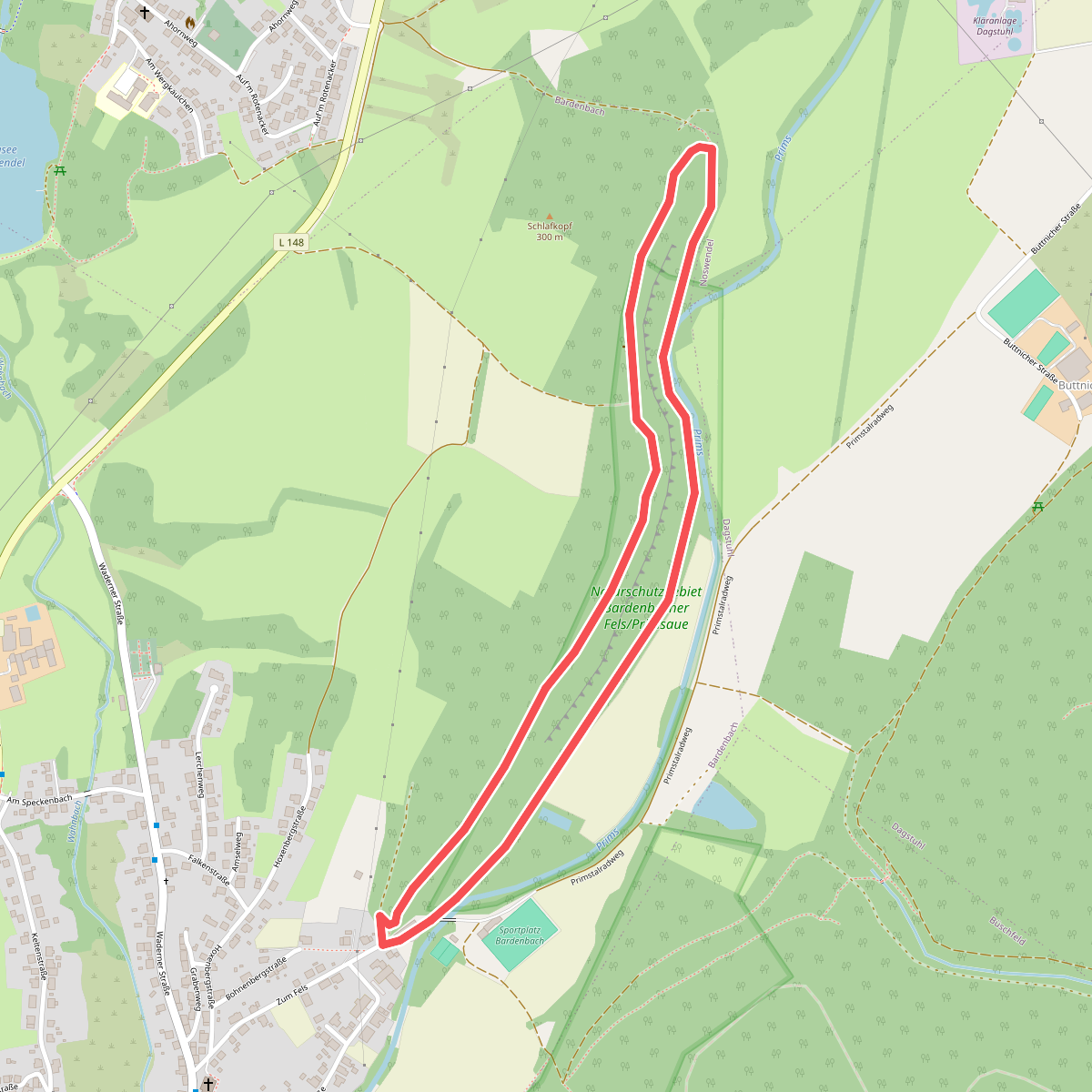
#11. Bardenbacher Fels
Wadern

#12. Bärenpfad
Nohfelden,Gimbweiler



