

The best hiking routes in Regte Heide & Riels Laag
Discover the best walks in Regte Heide & Riels Laag. 6 routes on the map, with descriptions, photos and GPX.
Managed by Brabants Landschap;particulieren

About Regte Heide & Riels Laag
The Regte Heide & Riels Laag offers a sharp contrast between two adjacent landscapes in a relatively small area. On the higher ground, you walk across a dry, gently rolling heathland dominated by heather and gorse, where the paths are mostly loose sand. This open area is dotted with several prehistoric burial mounds that appear as low swells in the terrain. The lack of forest cover here means you are exposed to the elements, with wide views across the purple shrubland.
Read more
About Regte Heide & Riels Laag
The Regte Heide & Riels Laag offers a sharp contrast between two adjacent landscapes in a relatively small area. On the higher ground, you walk across a dry, gently rolling heathland dominated by heather and gorse, where the paths are mostly loose sand. This open area is dotted with several prehistoric burial mounds that appear as low swells in the terrain. The lack of forest cover here means you are exposed to the elements, with wide views across the purple shrubland.
Read moreThe Regte Heide & Riels Laag offers a sharp contrast between two adjacent landscapes in a relatively small area. On the higher ground, you walk across a dry, gently rolling heathland dominated by heather and gorse, where the paths are mostly loose sand. This open area is dotted with several prehistoric burial mounds that appear as low swells in the terrain. The lack of forest cover here means you are exposed to the elements, with wide views across the purple shrubland.
Directly bordering this dry heath is the Riels Laag, a low-lying stream valley where the underfoot changes to damp grass and peat. This wet clay and peat valley acts as a natural basin for seepage water coming from the higher sandy ridge. The transition is sudden, marked by a shift from dry heather to lush marsh marigolds and wet meadows. Boardwalks and grassy tracks help you cross the wetter sections where the soil remains damp throughout the year.
This area is ideal if you want to observe how slight changes in elevation dictate the vegetation and soil conditions. It does not offer deep forests or dramatic hills, but rather a quiet, flat landscape where the main appeal is watching the dry sandy heath drop away into the green, marshy valley of the Ley stream.
Hiking routes in Regte Heide & Riels Laag (6)
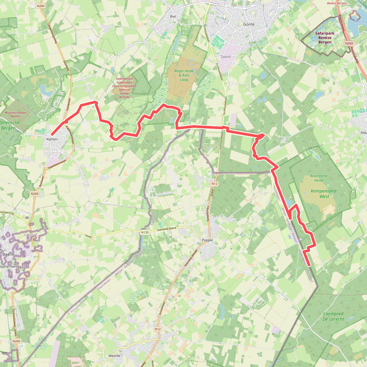
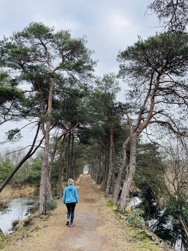
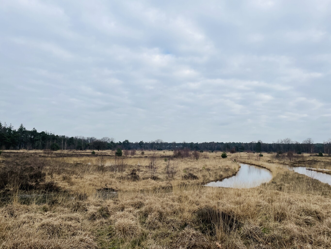
#1. Alphen - Roovertse Baan (bus Esbeek 3 km) · Grenslandpad etappe 12
Esbeek,Hilvarenbeek,Goirle,Riel,Alphen
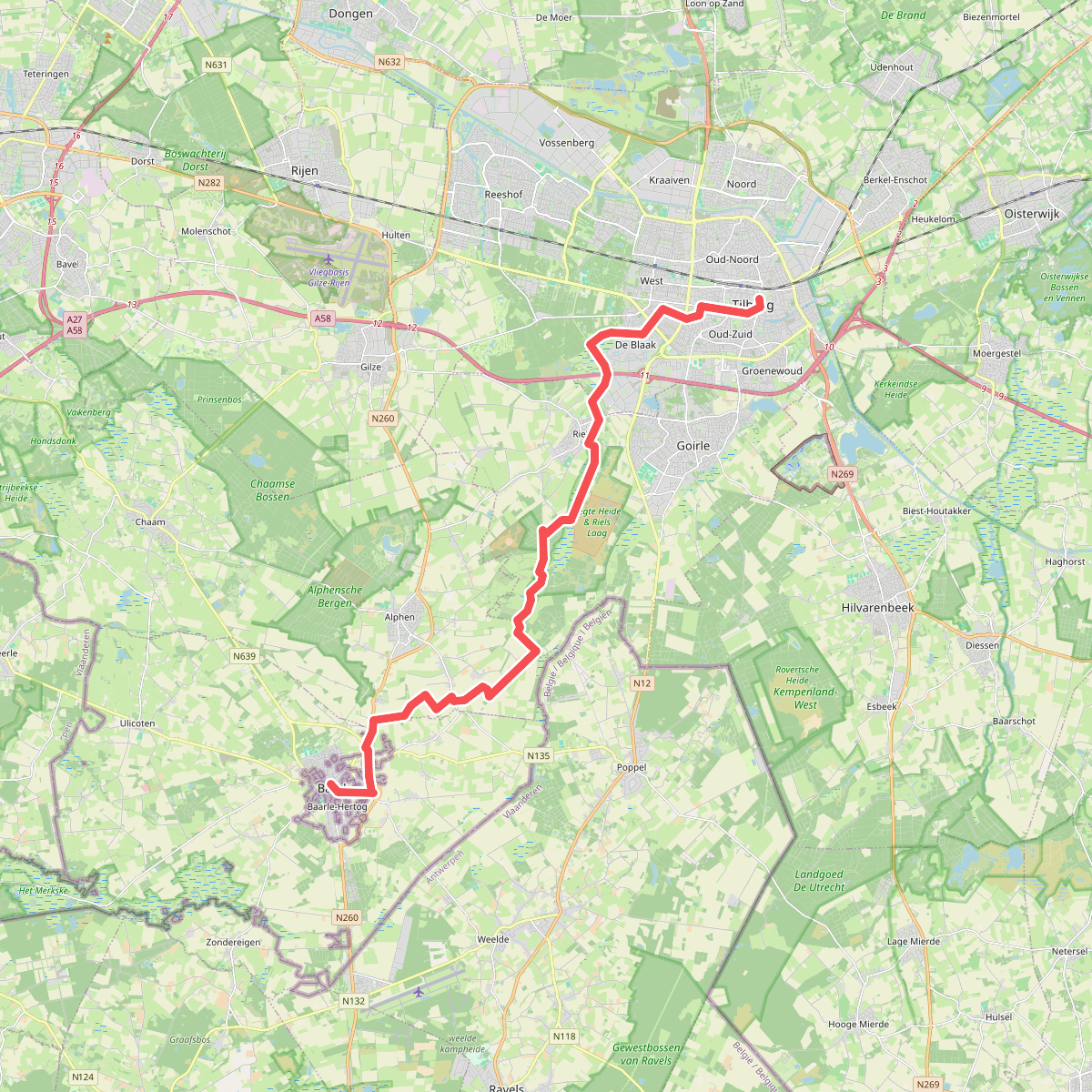


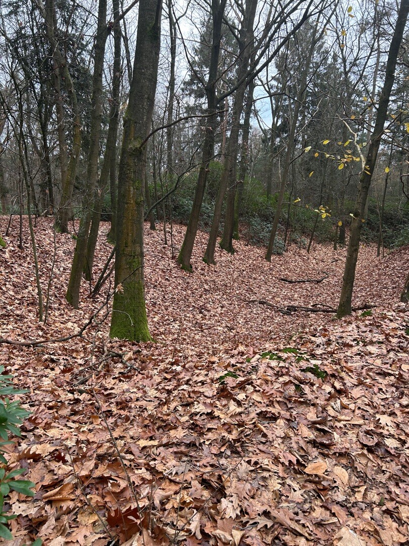
#2. Tilburg - Baarle Hertog/Nassau · Camino Brabant etappe 9
Baarle-Nassau,Alphen,Riel,Goirle,Tilburg

#3. Baarle Nassau - Riel · Oranje Nassaupad etappe 3
Baarle-Nassau,Alphen,Riel,Goirle
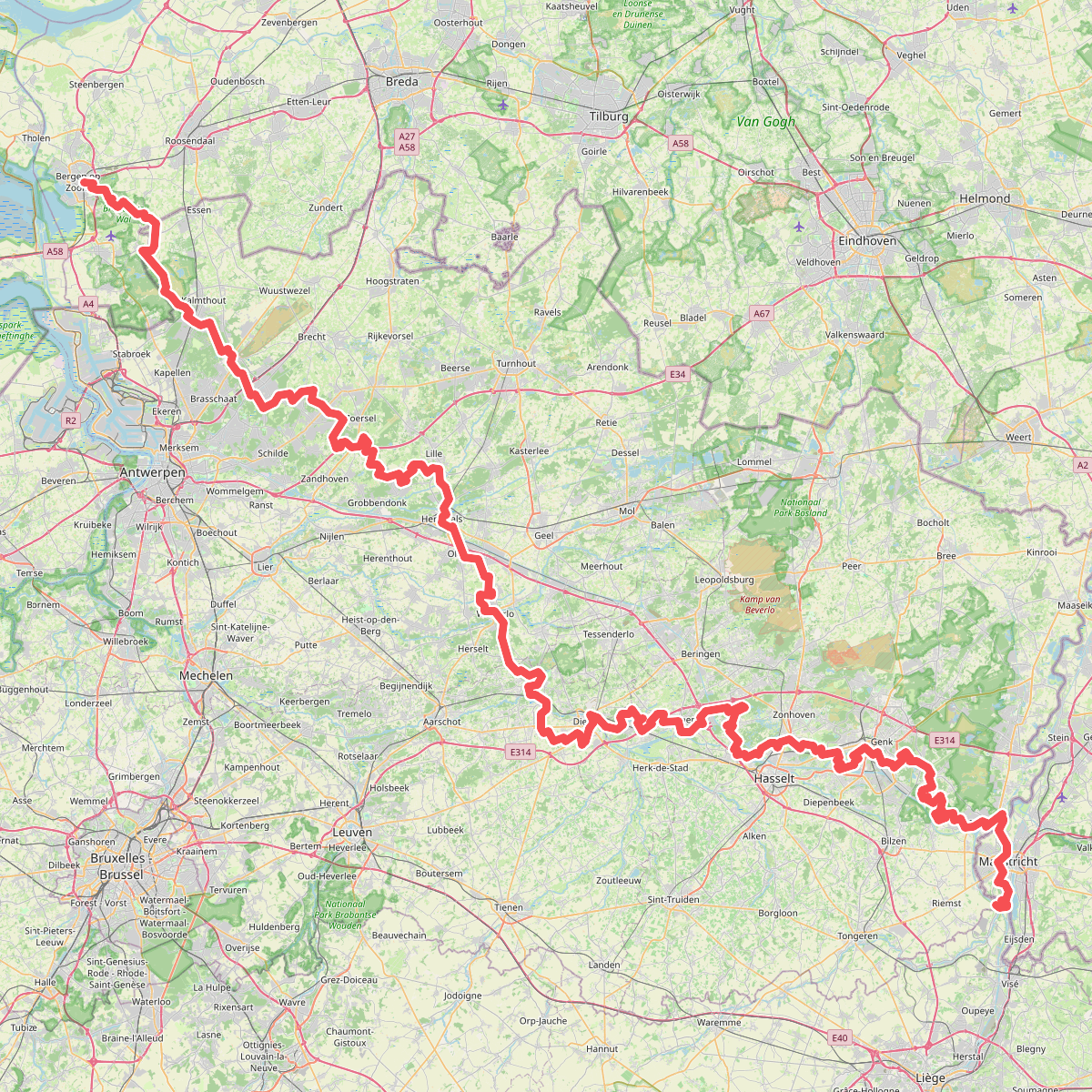
#4. GR5
Bergen op Zoom,Wouwse Plantage,Essen,Kalmthout,Kapellen,Brasschaat,Schoten,Brecht,Westmalle,Zoersel,Zandhoven,Vorselaar,Lille,Herentals,Olen,Westerlo,Herselt,Averbode,Zichem,Scherpenheuvel,Diest,Halen,Lummen,Zolder,Hasselt,Genk,Zutendaal,Lanaken,Maastricht,Visé,Riemst

#5. Hilvarenbeek naar Baarle Nassau - "de heilige Christoffel" · NederRandpad etappe 45
Baarle-Nassau,Alphen,Goirle,Hilvarenbeek

#6. Tilburg - Loveren · Hugo de Groot pad etappe 4
Tilburg,Goirle,Riel,Alphen,Baarle-Nassau




