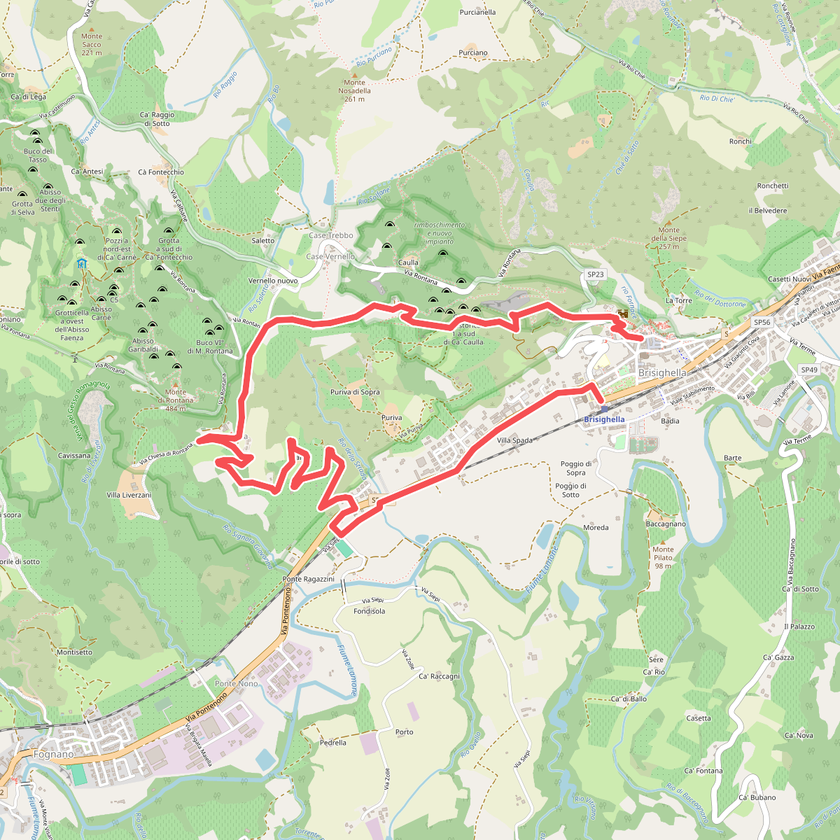
The best hiking routes in Parco regionale Vena del Gesso Romagnola
Discover the best walks in Parco regionale Vena del Gesso Romagnola. 22 routes on the map, with descriptions, photos and GPX.
Managed by Ente di gestione per i Parchi e la Biodiversità - Romagna
About Parco regionale Vena del Gesso Romagnola
The Parco regionale Vena del Gesso Romagnola is defined by a massive, continuous ridge of crystalline gypsum that cuts through the clay hills of Romagna. This geological formation creates a landscape of sharp contrasts. The south-facing slopes are steep, arid, and white, reflecting the Mediterranean sun and supporting drought-tolerant plants. In contrast, the north-facing slopes are covered in dense, damp deciduous forests of chestnut and oak, where the microclimate is significantly cooler.
Read more
About Parco regionale Vena del Gesso Romagnola
The Parco regionale Vena del Gesso Romagnola is defined by a massive, continuous ridge of crystalline gypsum that cuts through the clay hills of Romagna. This geological formation creates a landscape of sharp contrasts. The south-facing slopes are steep, arid, and white, reflecting the Mediterranean sun and supporting drought-tolerant plants. In contrast, the north-facing slopes are covered in dense, damp deciduous forests of chestnut and oak, where the microclimate is significantly cooler.
Read moreThe Parco regionale Vena del Gesso Romagnola is defined by a massive, continuous ridge of crystalline gypsum that cuts through the clay hills of Romagna. This geological formation creates a landscape of sharp contrasts. The south-facing slopes are steep, arid, and white, reflecting the Mediterranean sun and supporting drought-tolerant plants. In contrast, the north-facing slopes are covered in dense, damp deciduous forests of chestnut and oak, where the microclimate is significantly cooler.
Underfoot, walkers will encounter a mix of rocky limestone-like paths, loose gypsum scree, and clay tracks that can become sticky. The terrain is highly uneven, shaped by active karst topography. You will pass deep sinkholes, blind valleys, and the entrances to vast cave systems. The ridge itself offers narrow, exposed paths along the crest, requiring careful stepping, while the lower woodland trails are wider and more sheltered.
This is a rugged, mid-altitude landscape rather than a high-mountain environment, with elevations peaking around several hundred meters. While the main access points near Brisighella and the quiet visitor centers can attract local walkers on spring weekends, the steep forested valleys and higher ridge paths remain largely peaceful. It is a place to observe how a single strip of unusual rock completely dictates the vegetation and trail conditions under your boots.
Hiking routes in Parco regionale Vena del Gesso Romagnola (22)
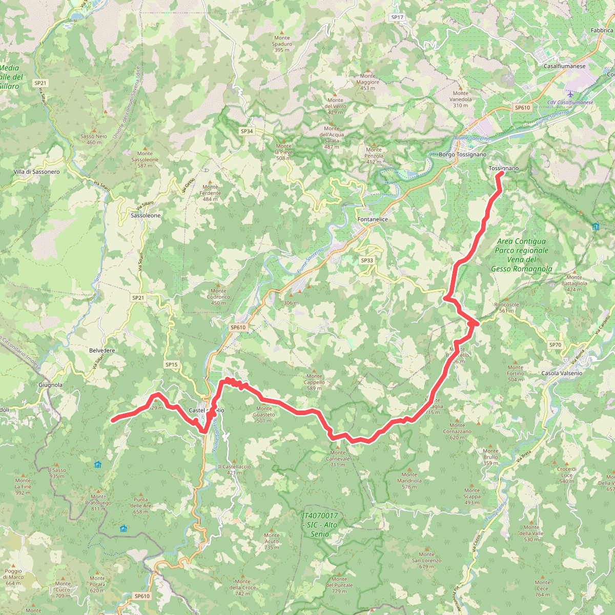
#1. Alta Via dei Parchi: Tappa 15
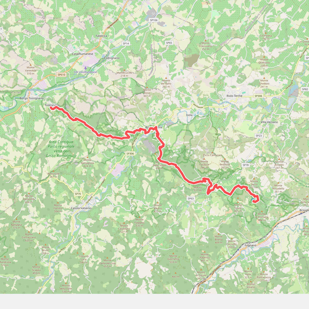
#2. Alta Via dei Parchi: Tappa 16
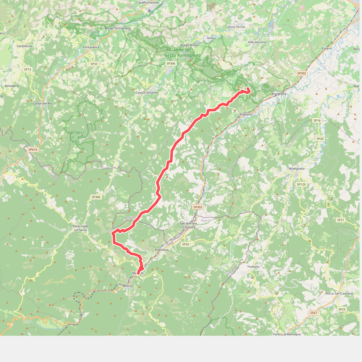
#3. Alta Via dei Parchi: Tappa 17
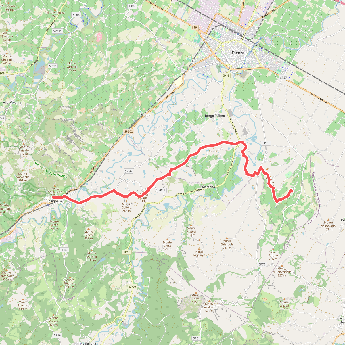
#4. Cammino di Dante - Tappa 3
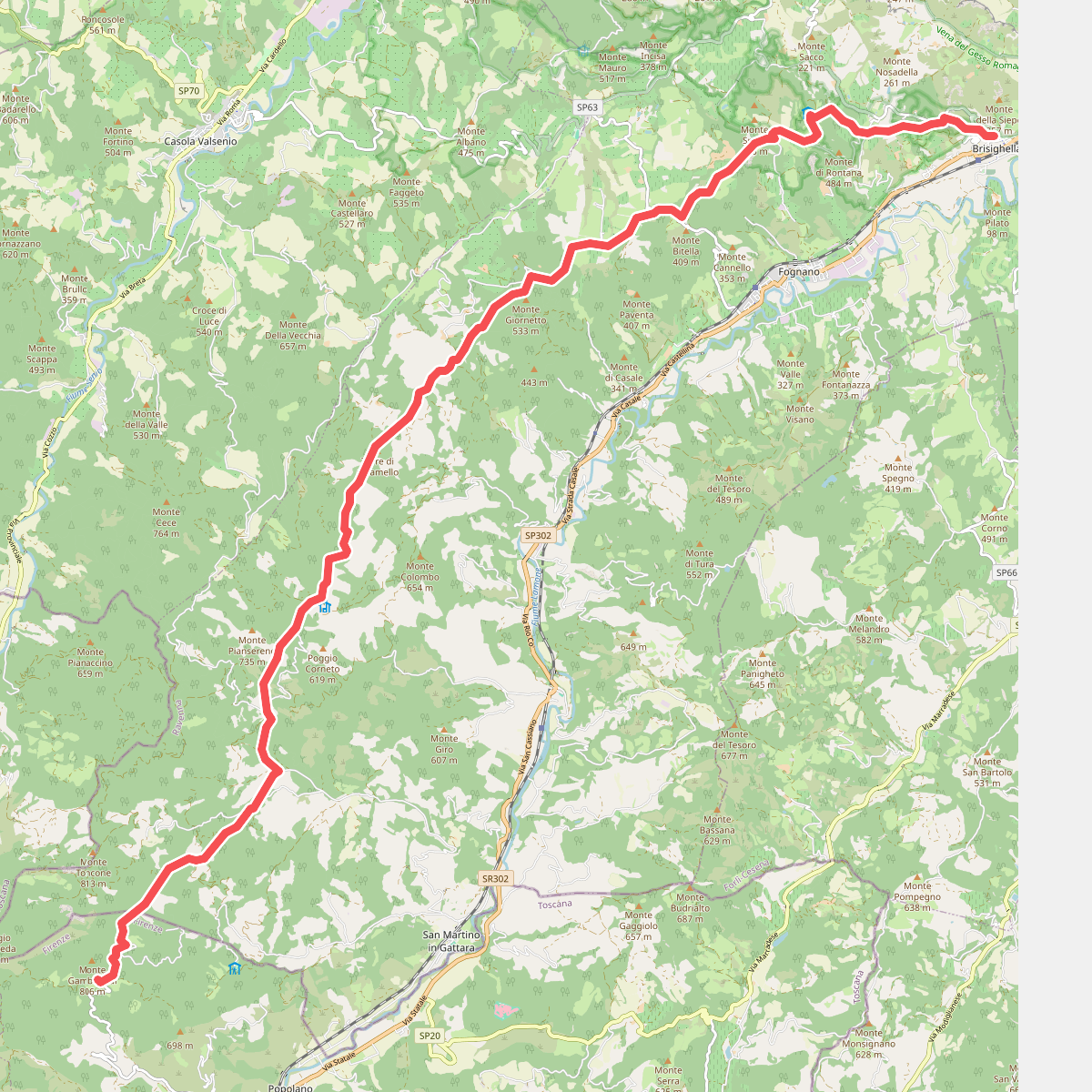
#5. Cammino di Dante - Tappa 4
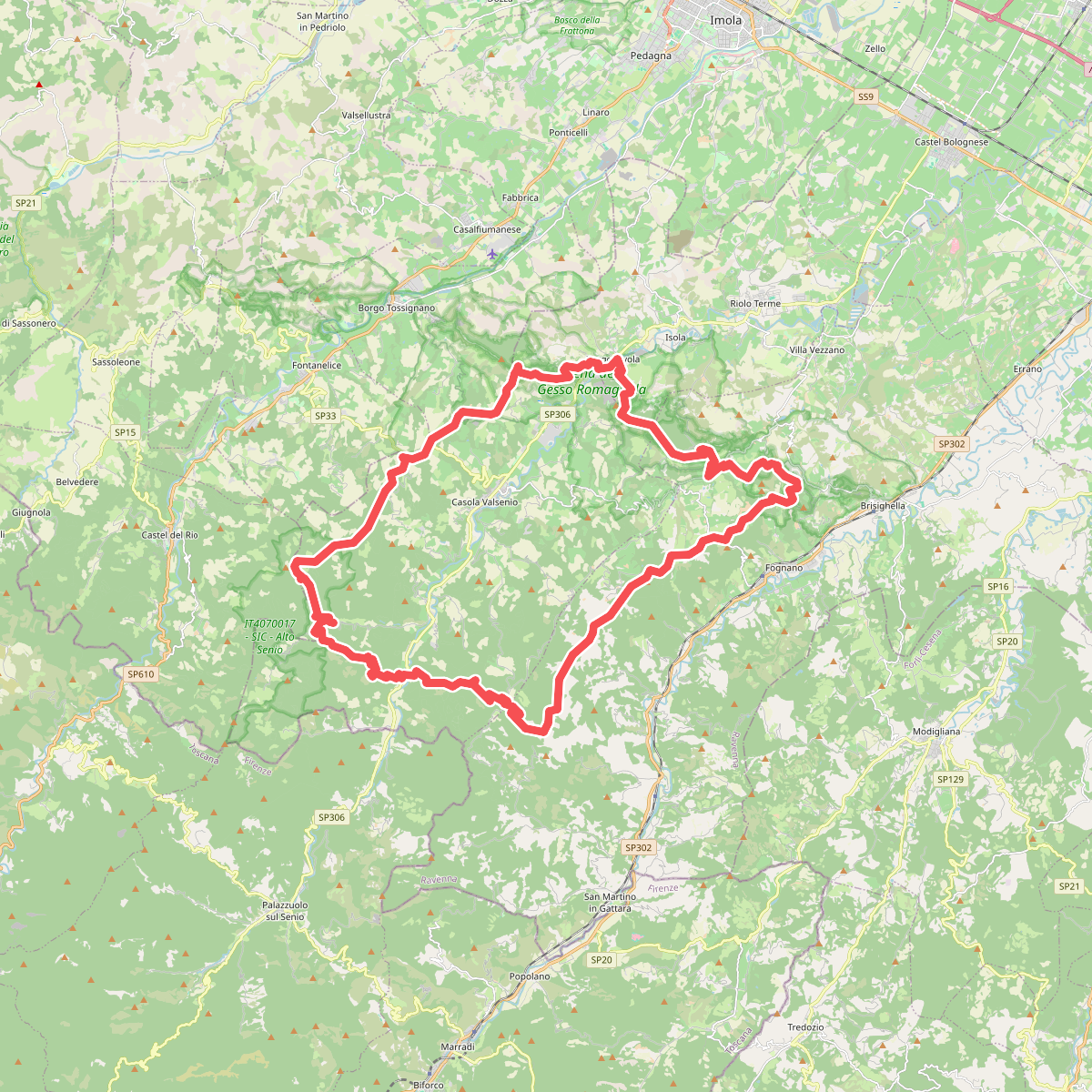
#6. Corolla delle Ginestre
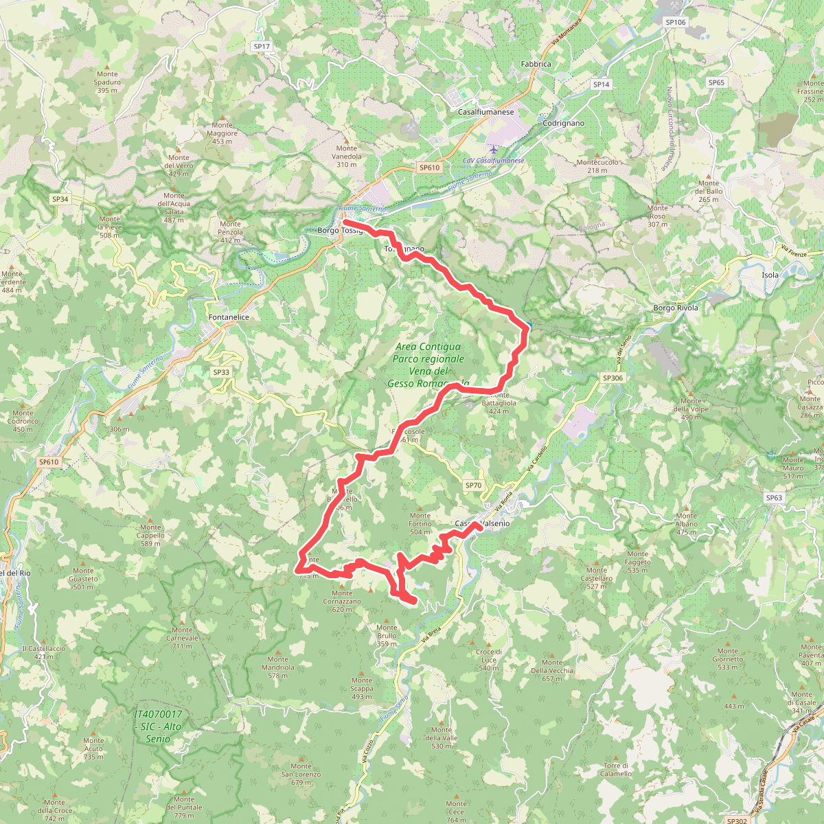
#7. Grande Circuito della Romagna: Tappa 1
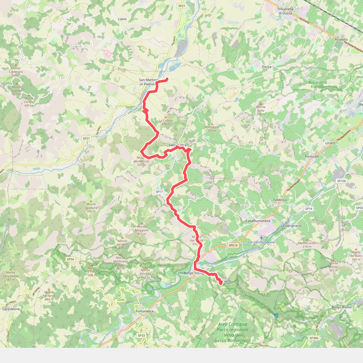
#8. Il Cammino di Sant'Antonio: Tappa 11
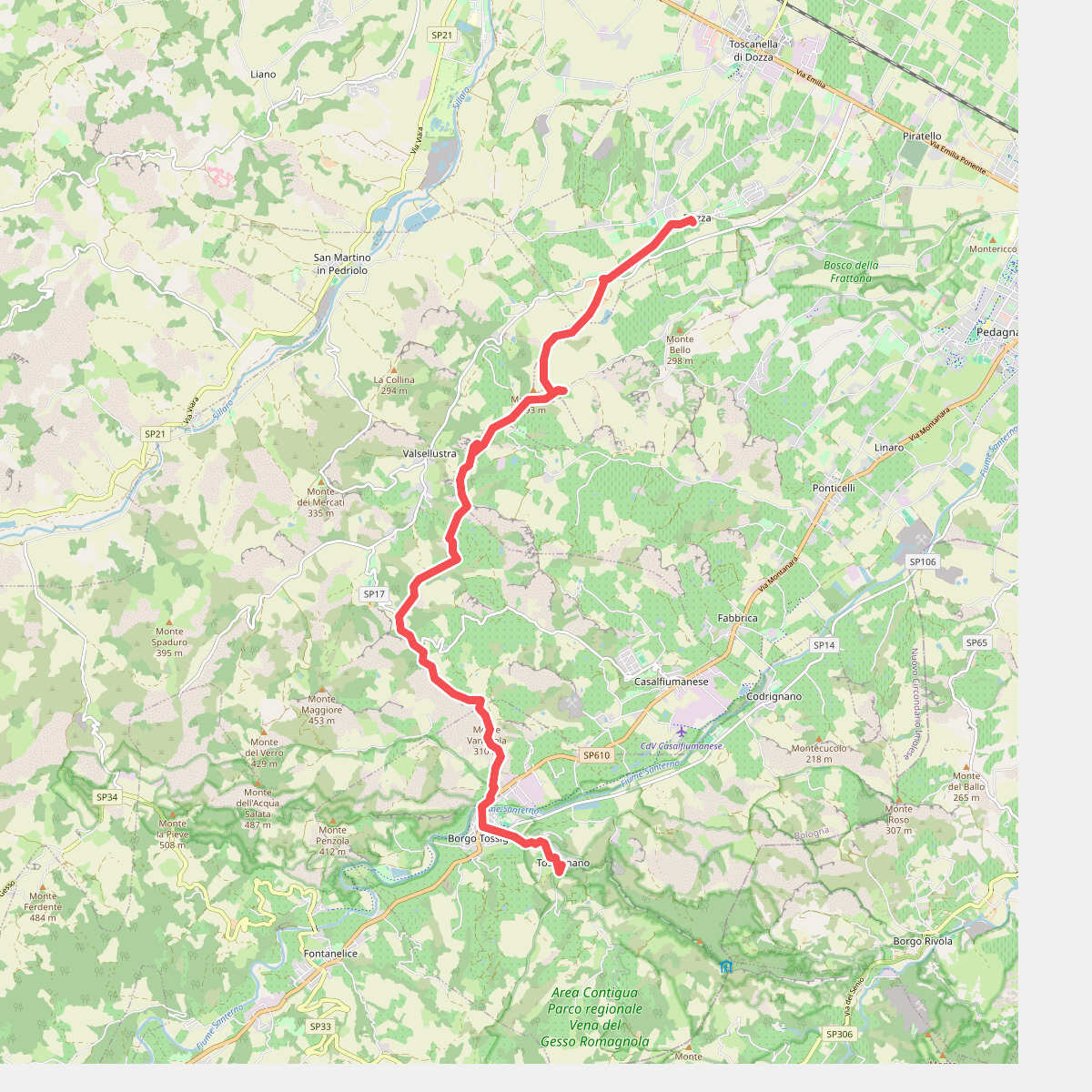
#9. Il Cammino di Sant'Antonio: Tappa 11D
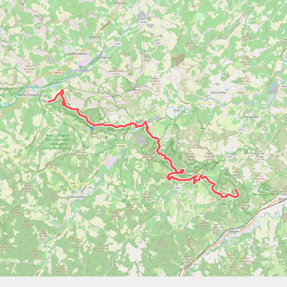
#10. Il Cammino di Sant'Antonio: Tappa 12
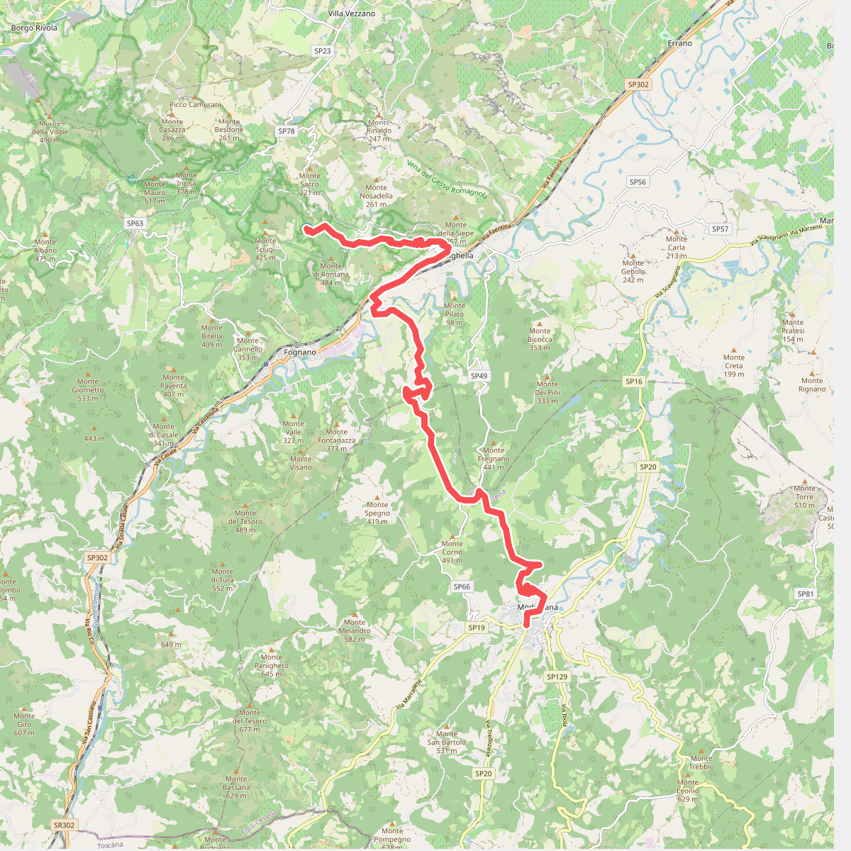
#11. Il Cammino di Sant'Antonio: Tappa 13