

The best hiking routes in Parco Naturale del Gran Bosco di Salbertrand
Discover the best walks in Parco Naturale del Gran Bosco di Salbertrand. 7 routes on the map, with descriptions, photos and GPX.
About Parco Naturale del Gran Bosco di Salbertrand
The Parco Naturale del Gran Bosco di Salbertrand occupies the steep northern slopes of the Susa Valley, rising from the Dora Riparia riverbed up to the high mountain crests. Unlike the rocky, barren peaks common in other parts of this valley, this reserve is defined by its dense, dark canopy of conifers. The lower slopes are dominated by Scots pine and larch, which gradually give way to rare, ancient stands of silver fir and Norway spruce at higher elevations. Walking here means moving through a closed, humid forest environment where the air smells of damp earth and resin.
Read more
About Parco Naturale del Gran Bosco di Salbertrand
The Parco Naturale del Gran Bosco di Salbertrand occupies the steep northern slopes of the Susa Valley, rising from the Dora Riparia riverbed up to the high mountain crests. Unlike the rocky, barren peaks common in other parts of this valley, this reserve is defined by its dense, dark canopy of conifers. The lower slopes are dominated by Scots pine and larch, which gradually give way to rare, ancient stands of silver fir and Norway spruce at higher elevations. Walking here means moving through a closed, humid forest environment where the air smells of damp earth and resin.
Read moreThe Parco Naturale del Gran Bosco di Salbertrand occupies the steep northern slopes of the Susa Valley, rising from the Dora Riparia riverbed up to the high mountain crests. Unlike the rocky, barren peaks common in other parts of this valley, this reserve is defined by its dense, dark canopy of conifers. The lower slopes are dominated by Scots pine and larch, which gradually give way to rare, ancient stands of silver fir and Norway spruce at higher elevations. Walking here means moving through a closed, humid forest environment where the air smells of damp earth and resin.
Underfoot, the trails transition from soft, needle-covered soil on the lower forest tracks to firmer, stony paths as you ascend toward the military roads of the Assietta ridge. The forest floor is thick with mosses, ferns, and bilberry bushes, reflecting the damp, shaded microclimate created by the north-facing exposure. This dense cover means views are mostly contained within the trees, opening up only when you reach the high-altitude pastures near the park boundary.
In October, the larch needles turn a deep gold, contrasting sharply with the dark green of the firs before shedding. The park is well-suited for those who prefer quiet, cool forest walks over exposed rocky climbs. While the main access points near Salbertrand and the park information center can be busier on weekends, the deeper forest trails remain quiet, offering a steady, shaded climb through a highly managed, historic woodland.
Hiking routes in Parco Naturale del Gran Bosco di Salbertrand (7)
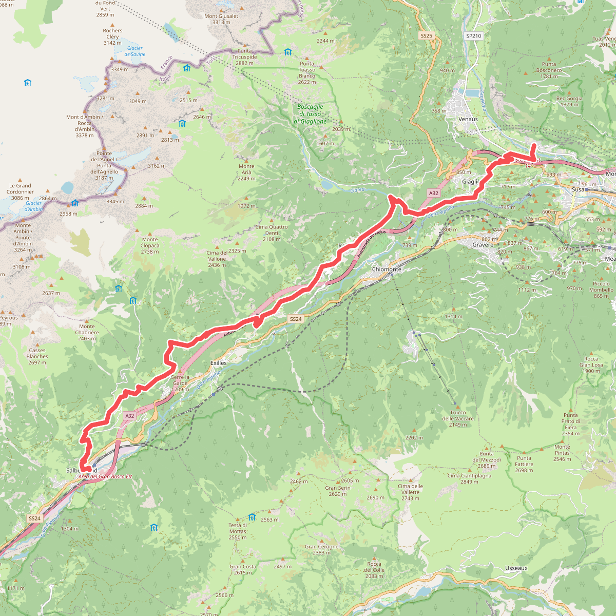
#1. GTA: Salbertrand - San Giuseppe di Mompantero
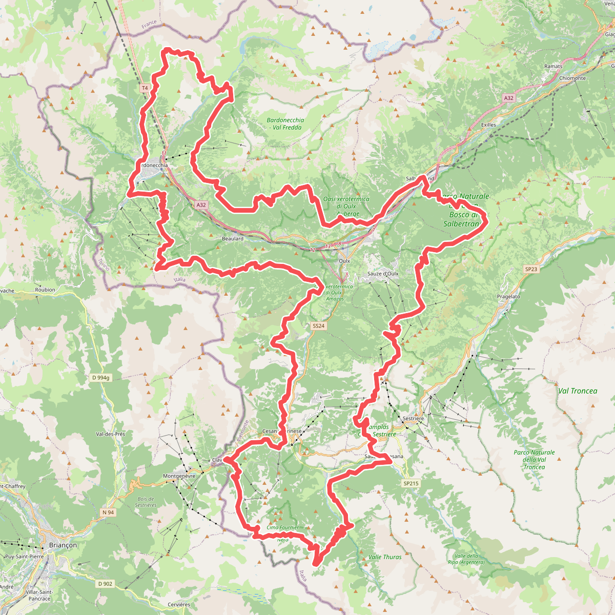
#2. Sentiero Balcone
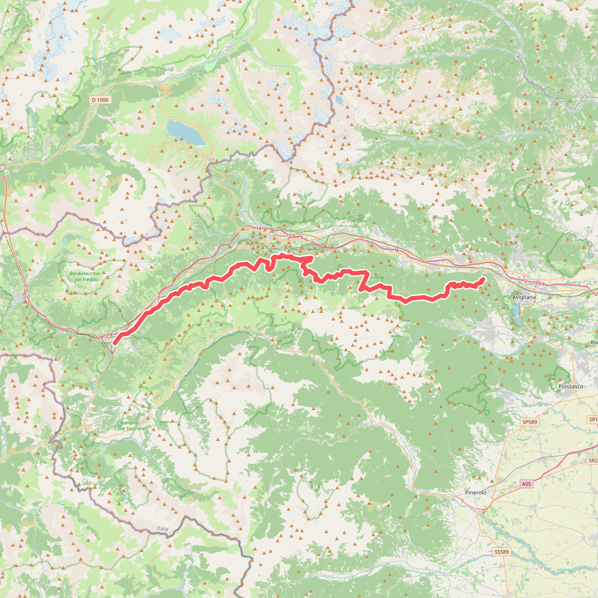
#3. Sentiero dei Franchi
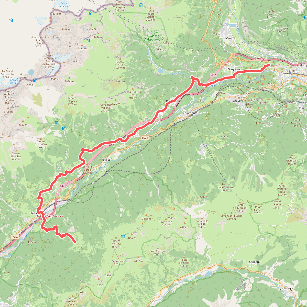
#4. Sentiero Italia - Piemonte E00 · SI
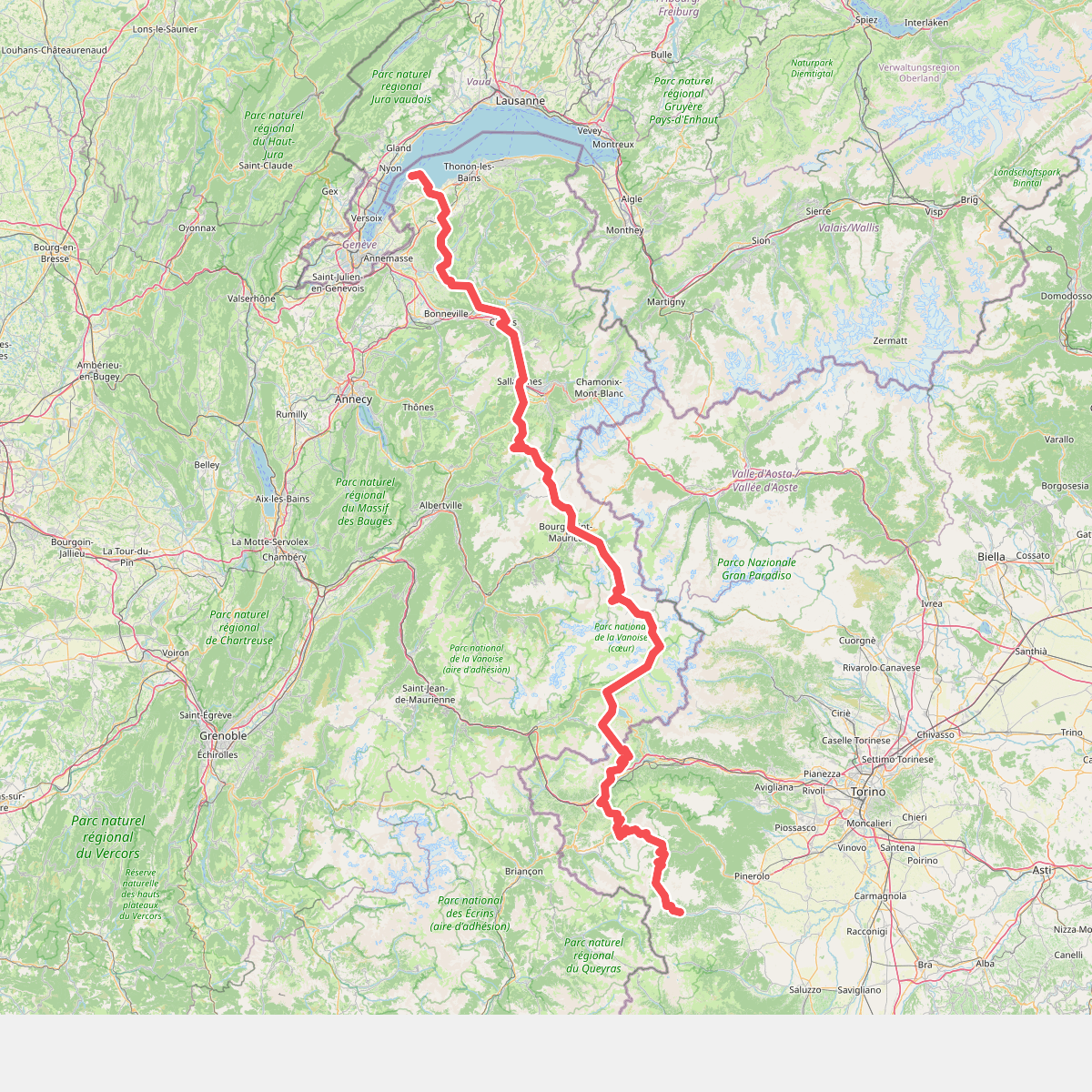
#5. Sulle strade dei valdesi: GRV Glorioso Rimpatrio dei Valdesi

#6. Via Alpina Blue D37





