The best hiking routes in Parc naturel régional Normandie-Maine
Discover the best walks in Parc naturel régional Normandie-Maine. 117 routes on the map, with descriptions, photos and GPX.
About Parc naturel régional Normandie-Maine
Parc naturel régional Normandie-Maine offers a landscape of ancient, worn-down sandstone ridges and deep forested valleys, quite different from the flat agricultural plains that surround it. Walkers will find a distinct contrast between the high, rocky crests of the Armorican Massif, such as the Écouves forest, and the damp, low-lying bocage pasturelands. The terrain is defined by these quartzite ridges, which create steep, wooded slopes and rocky screes known locally as pierriers, rather than high mountain peaks.
Read more
About Parc naturel régional Normandie-Maine
Parc naturel régional Normandie-Maine offers a landscape of ancient, worn-down sandstone ridges and deep forested valleys, quite different from the flat agricultural plains that surround it. Walkers will find a distinct contrast between the high, rocky crests of the Armorican Massif, such as the Écouves forest, and the damp, low-lying bocage pasturelands. The terrain is defined by these quartzite ridges, which create steep, wooded slopes and rocky screes known locally as pierriers, rather than high mountain peaks.
Read moreParc naturel régional Normandie-Maine offers a landscape of ancient, worn-down sandstone ridges and deep forested valleys, quite different from the flat agricultural plains that surround it. Walkers will find a distinct contrast between the high, rocky crests of the Armorican Massif, such as the Écouves forest, and the damp, low-lying bocage pasturelands. The terrain is defined by these quartzite ridges, which create steep, wooded slopes and rocky screes known locally as pierriers, rather than high mountain peaks.
Underfoot, the paths vary significantly depending on where you walk. The forested ridges feature stony, root-crossed clay tracks that require careful stepping, while the lower river valleys, particularly around the Sarthe and Mayenne rivers, offer softer, dirt paths through damp meadows. In the eastern sections, sandstone paving and sandy tracks predominate, reflecting the underlying geology that has shaped the local stone architecture of the villages.
In late summer, particularly during August, the open heathlands of the park turn purple with heather and yellow with gorse, marking a sharp transition from the dense, shaded beech and oak canopies. This is a working rural landscape where quiet forest tracks are occasionally shared with logging vehicles, and the well-known rocky viewpoints can be busier on weekends, while the deep woodland valleys remain generally quiet.
Hiking routes in Parc naturel régional Normandie-Maine (117)
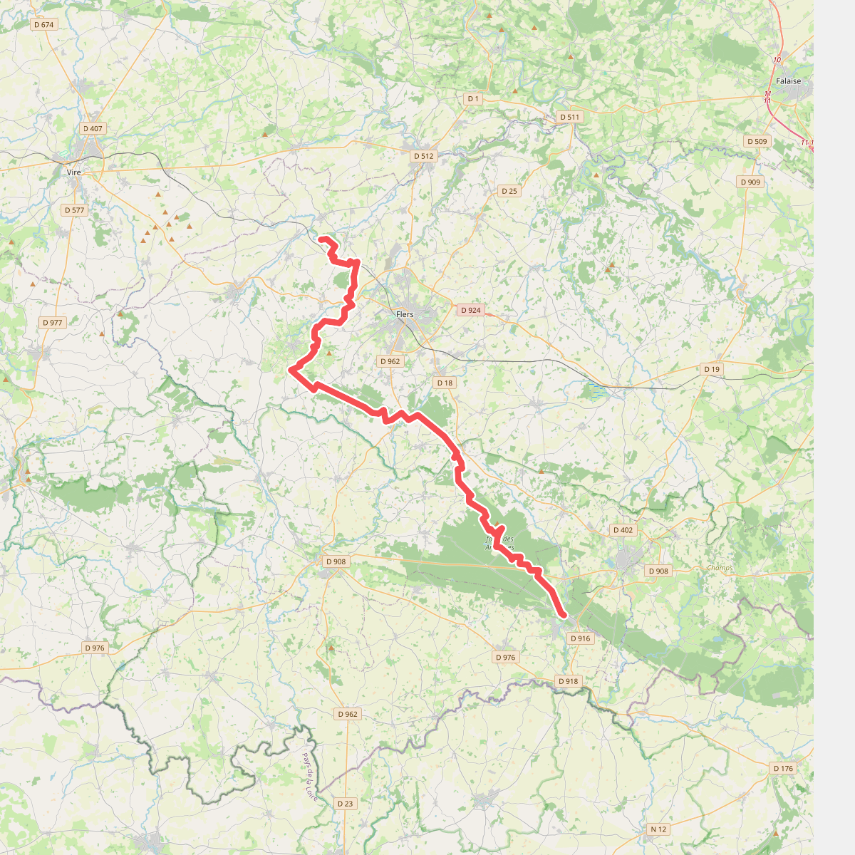
#1. 22B
Bagnoles-de-l'Orne-Normandie,Juvigny-Val-d'Andaine,Les Monts-d'Andaine,Champsecret,La Ferrière-aux-Étangs,Saint-André-de-Messei,Banvou,Le Châtellier,Saint-Clair-de-Halouze,Tinchebray-Bocage,Chanu,Saint-Paul,La Lande-Patry,Landisacq,Cerisy-Belle-Étoile,Montsecret-Clairefougère
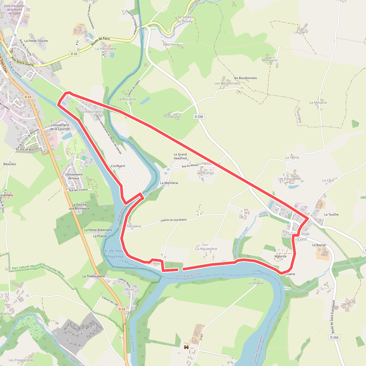
#2. Au Long du Lac
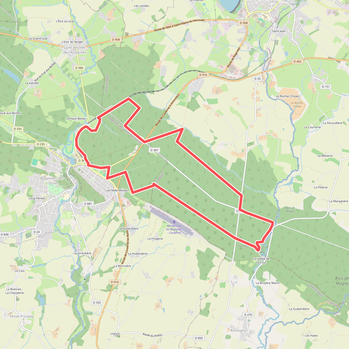
#3. Bagnoles-de-l'Orne
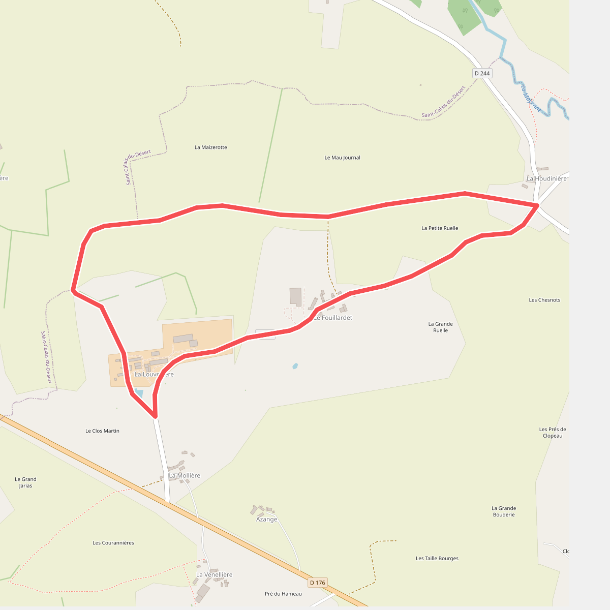
#4. Boucle de la Louvellière
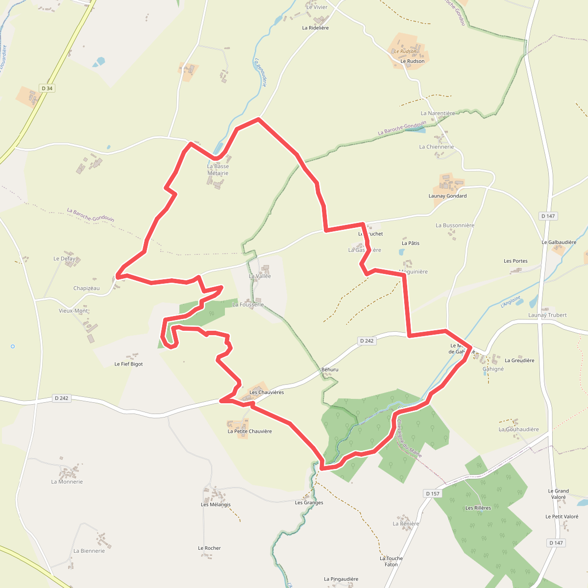
#5. Boucle de la Vallée de l'Anglaine
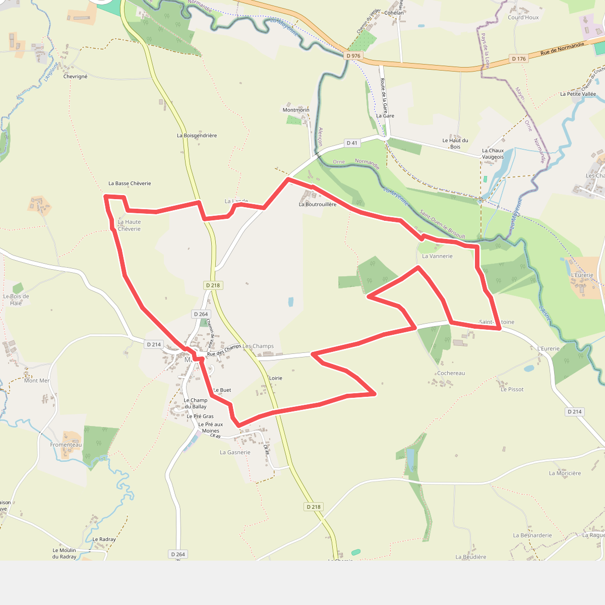
#6. Boucle de la Vannerie
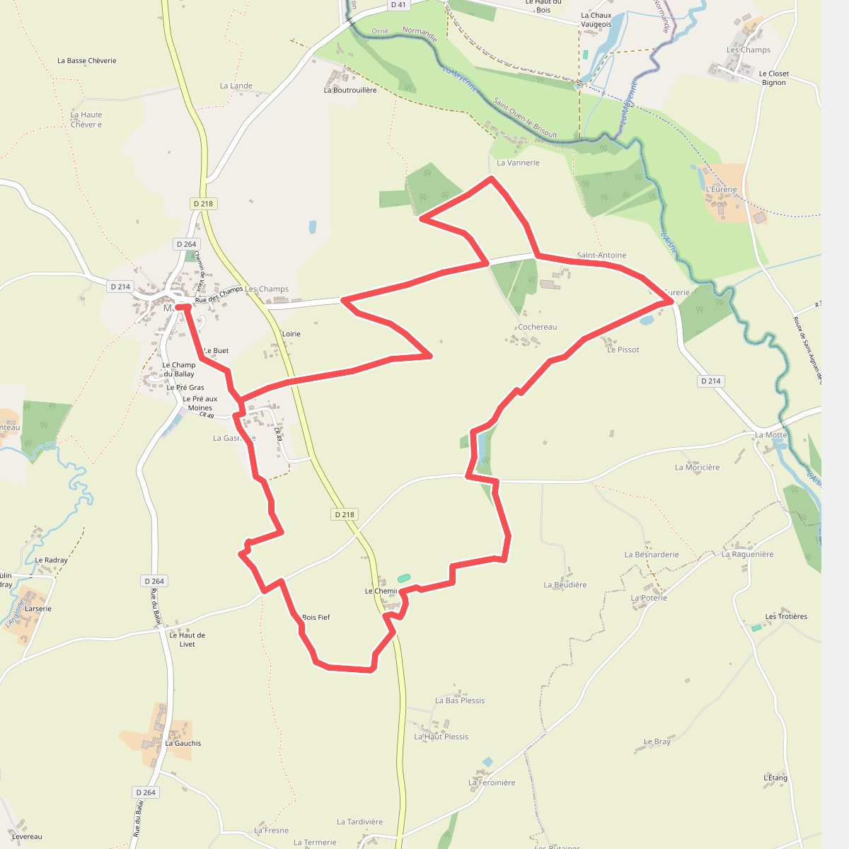
#7. Boucle de l'Hirondelle
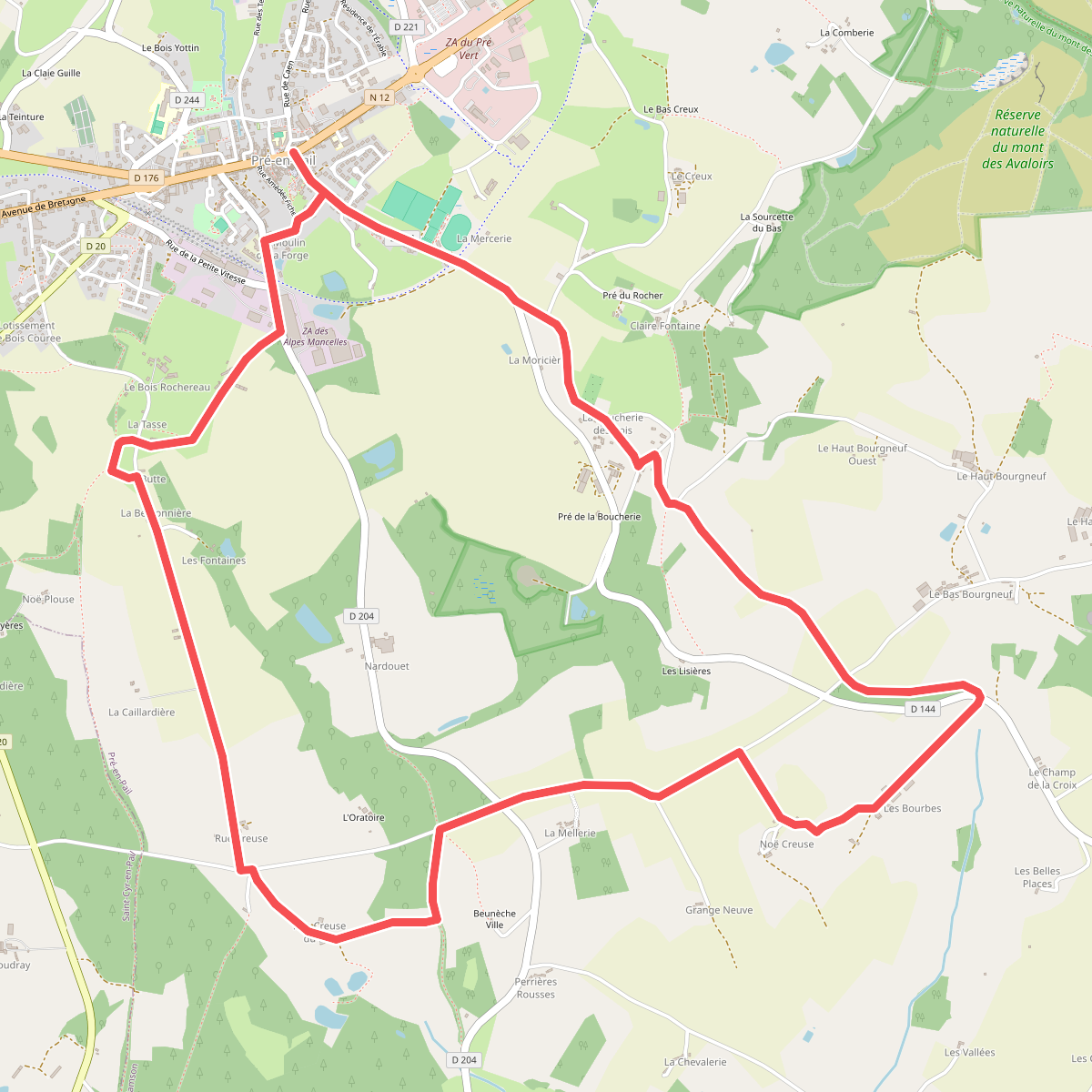
#8. Boucle de l'Oratoire
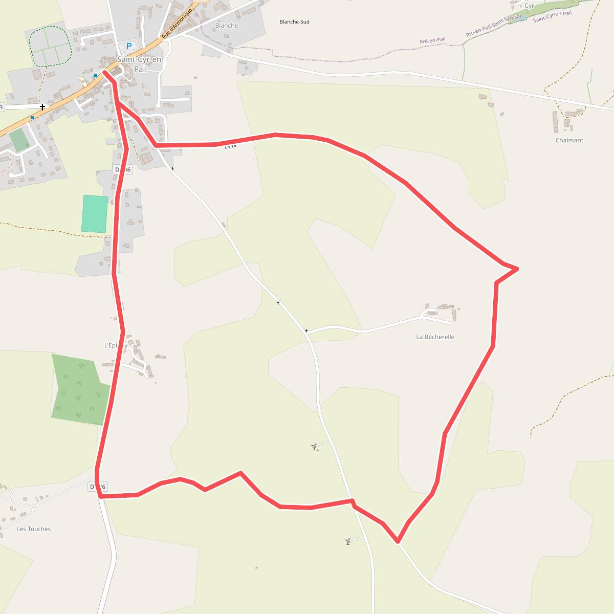
#9. Boucle de l’Oratoire du Pont
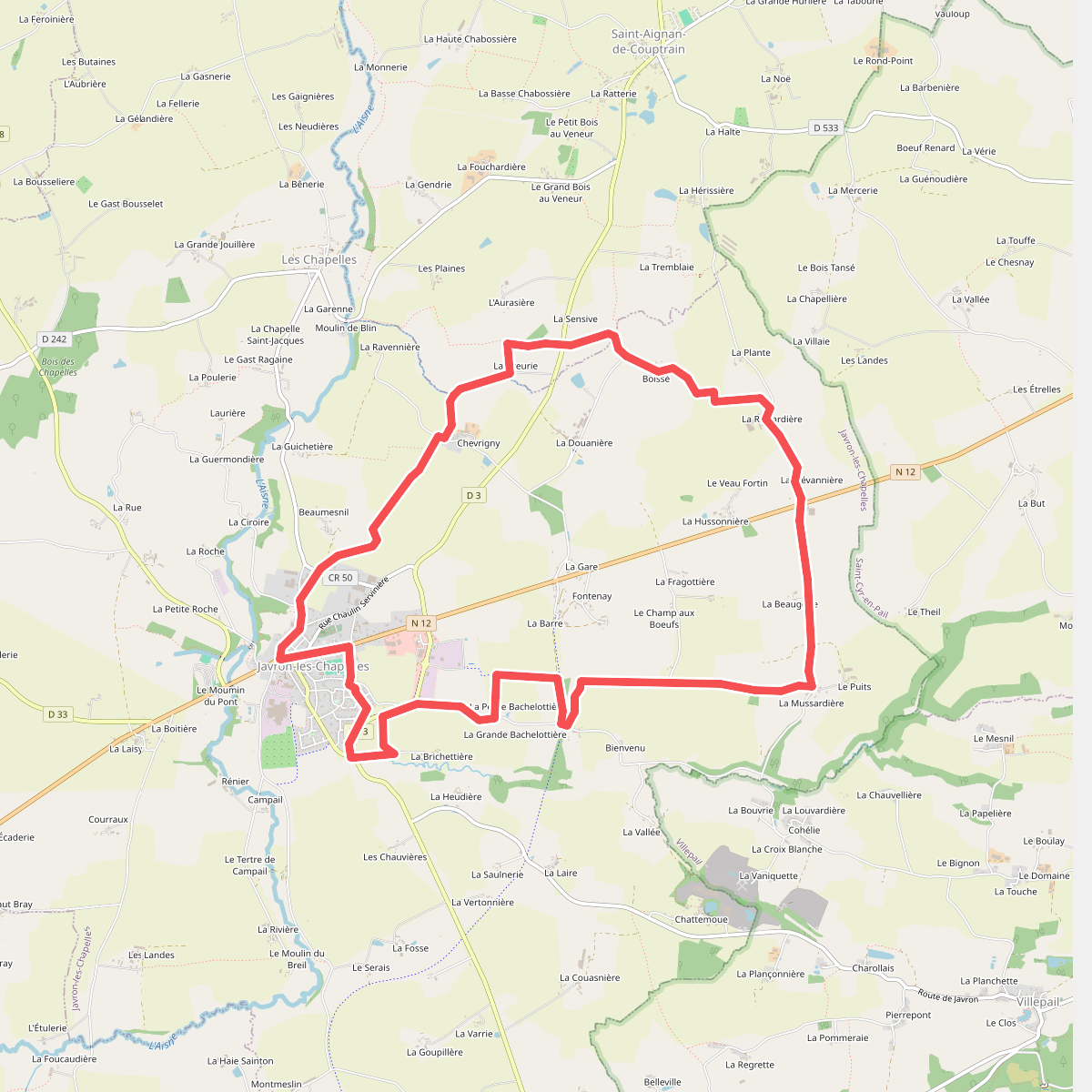
#10. Boucle de Madagascar
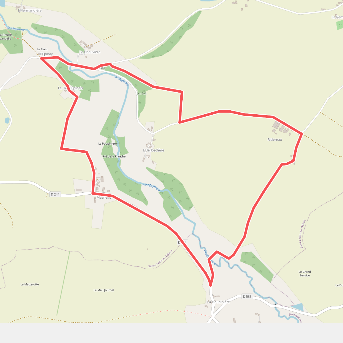
#11. Boucle de Ridereau