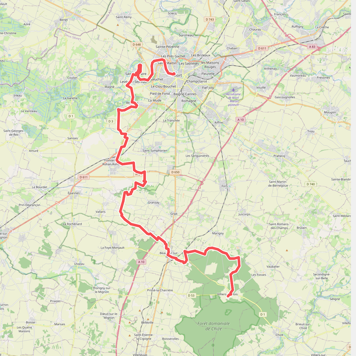
The best hiking routes in Parc naturel régional du Marais poitevin
Discover the best walks in Parc naturel régional du Marais poitevin. 10 routes on the map, with descriptions, photos and GPX.
About Parc naturel régional du Marais poitevin
The Parc naturel régional du Marais poitevin is a vast, flat wetland divided into three distinct zones that dictate your walking experience. The wet marsh, known as the Venise Verte, is a labyrinth of narrow canals lined with rows of pollard willows and ash trees. Here, the paths are mostly grassy, damp canal banks and towpaths where you walk under a dense canopy of leaves. In contrast, the dry marsh features open, drained agricultural fields with wide, straight gravel tracks and unpaved farm roads. Along the coast, the landscape shifts to salt marshes and mudflats around the Baie de l'Aiguillon, where you walk on exposed sea dikes.
Read more
About Parc naturel régional du Marais poitevin
The Parc naturel régional du Marais poitevin is a vast, flat wetland divided into three distinct zones that dictate your walking experience. The wet marsh, known as the Venise Verte, is a labyrinth of narrow canals lined with rows of pollard willows and ash trees. Here, the paths are mostly grassy, damp canal banks and towpaths where you walk under a dense canopy of leaves. In contrast, the dry marsh features open, drained agricultural fields with wide, straight gravel tracks and unpaved farm roads. Along the coast, the landscape shifts to salt marshes and mudflats around the Baie de l'Aiguillon, where you walk on exposed sea dikes.
Read moreThe Parc naturel régional du Marais poitevin is a vast, flat wetland divided into three distinct zones that dictate your walking experience. The wet marsh, known as the Venise Verte, is a labyrinth of narrow canals lined with rows of pollard willows and ash trees. Here, the paths are mostly grassy, damp canal banks and towpaths where you walk under a dense canopy of leaves. In contrast, the dry marsh features open, drained agricultural fields with wide, straight gravel tracks and unpaved farm roads. Along the coast, the landscape shifts to salt marshes and mudflats around the Baie de l'Aiguillon, where you walk on exposed sea dikes.
Walking here means navigating a landscape entirely shaped by human drainage systems. You will constantly cross small stone bridges, footbridges, and locks that regulate the water levels. Underfoot, the terrain is consistently flat, with no hills or valleys to climb. The paths vary from soft, grassy earth in the shaded wet areas to hard-packed clay and gravel in the open farming sectors.
In May and June, the lush green duckweed completely covers the water in the smaller canals, creating the illusion of solid green lawns. The popular boat-launching points can be busy with visitors, but the walking trails along the smaller communal ditches remain quiet. Be prepared for open, unshaded stretches in the dry marsh and coastal dikes, where there is no shelter from the elements.
Hiking routes in Parc naturel régional du Marais poitevin (10)
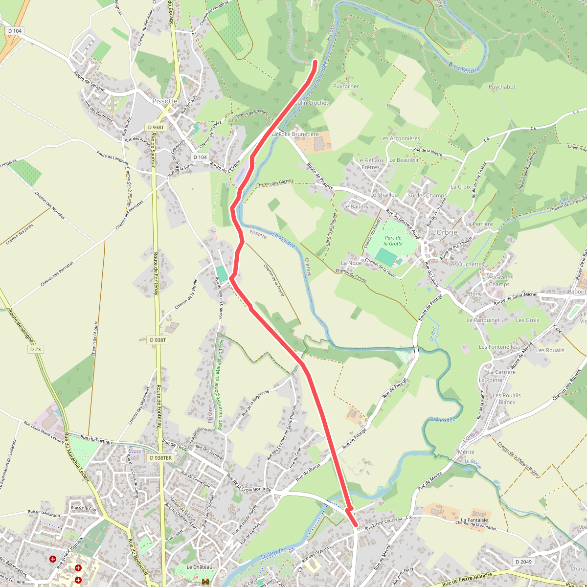
#1. Accès Domaine de Mélusine de Fontenay
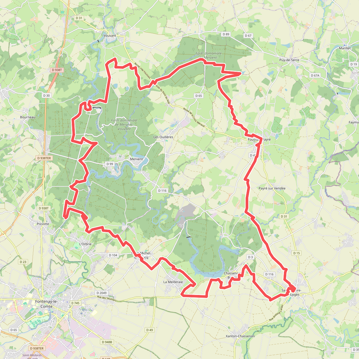
#2. Boucle du Domaine de Mélusine
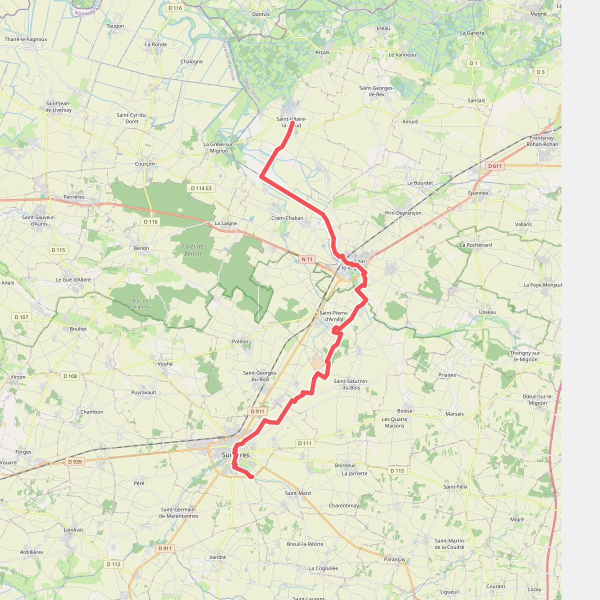
#3. Chemin de l'Atlantique · St-Hilaire-la-Palud – Surgères
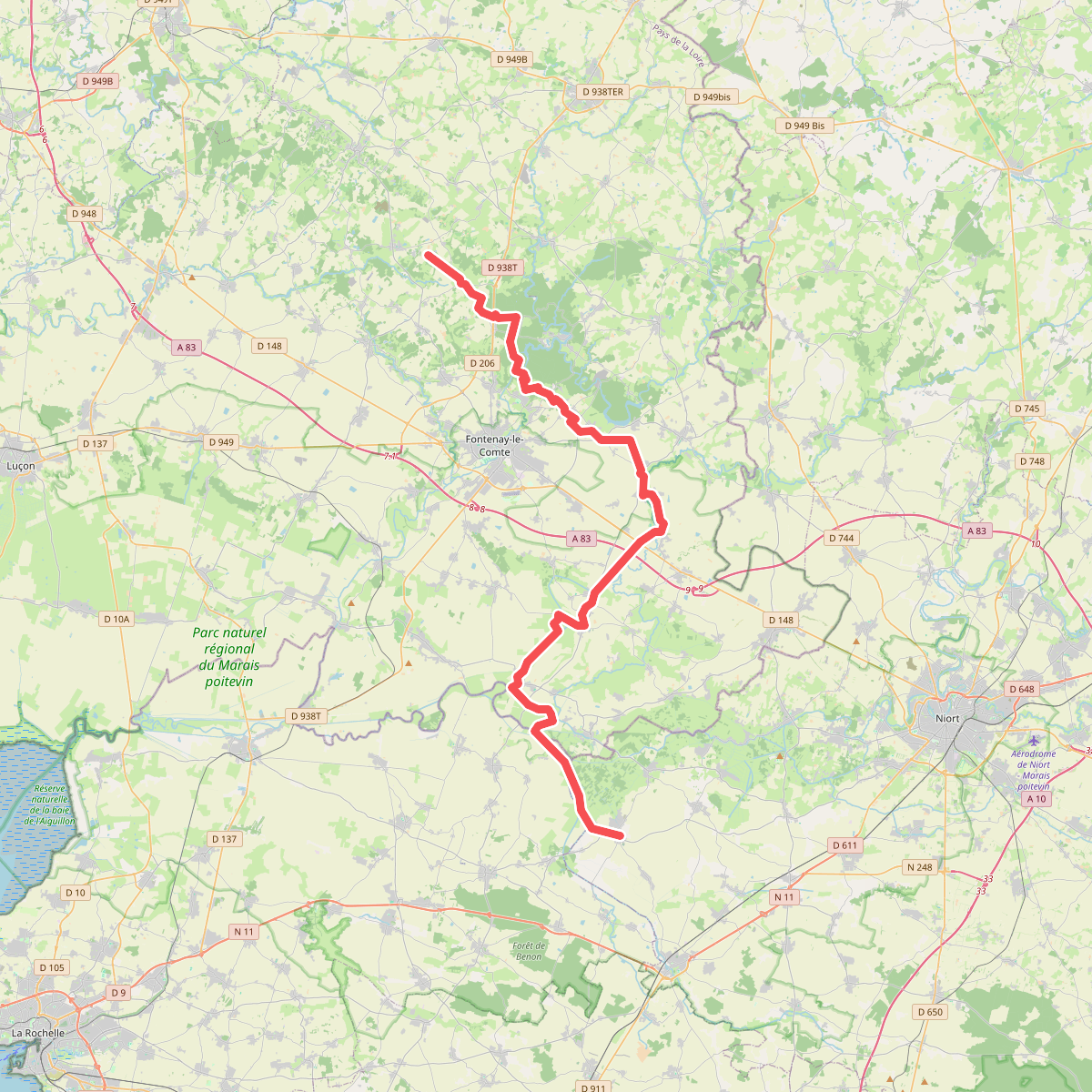
#4. Chemin Vendéen · St-Cyr-des-Gâts – St-Hilaire-la-Palud
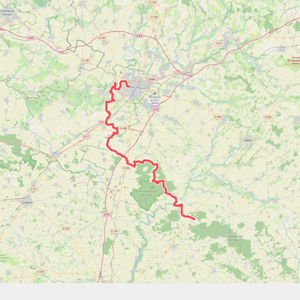
#5. De la Manche aux Pyrénées 12, Niort - La Villedieu
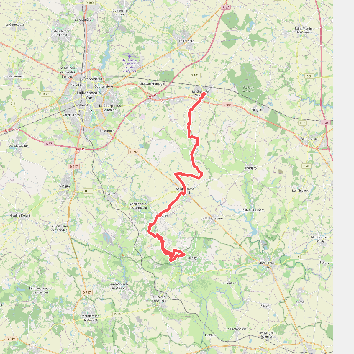
#6. Du Tablier à La Chaize
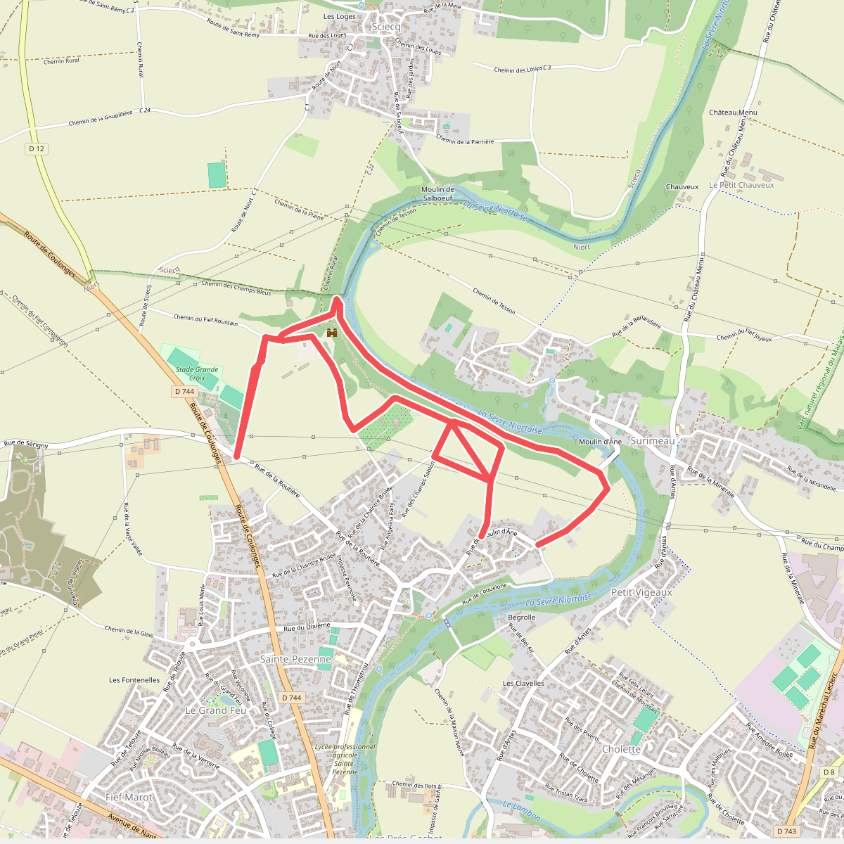
#7. Envolée à Travers Champs
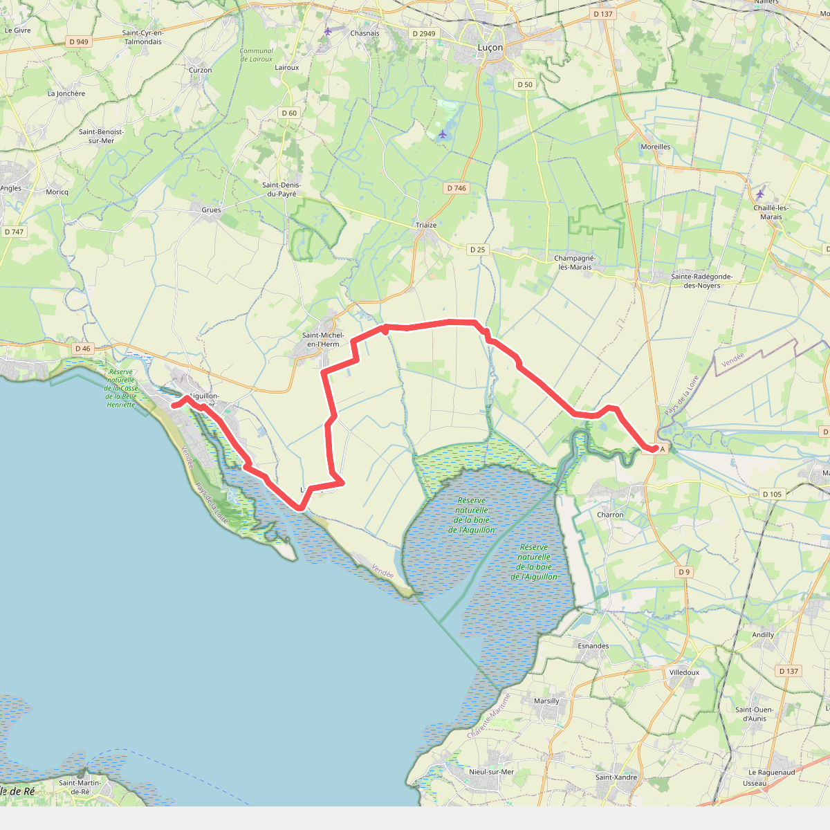
#8. Europese wandelroute E9 · relation 13067407
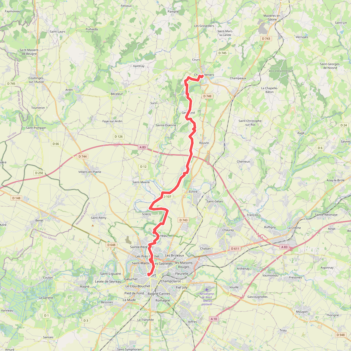
#9. Voie des Plantagenêts · Champdeniers – Niort