

The best hiking routes in Parc naturel régional des Ballons des Vosges
Discover the best walks in Parc naturel régional des Ballons des Vosges. 155 routes on the map, with descriptions, photos and GPX.
About Parc naturel régional des Ballons des Vosges
The Parc naturel régional des Ballons des Vosges is defined by its rounded, glaciated summits known as ballons, which rise above steep, forested valleys. Walkers will notice a stark contrast between the western slopes, which receive heavy precipitation and feature dense pine and beech forests, and the drier eastern slopes that descend toward the Alsace plain. The highest ridges, particularly around Le Grand Ballon and Hohneck, are covered in high-altitude pastures called chaumes, where the trees give way to open, grassy expanses.
Read more
About Parc naturel régional des Ballons des Vosges
The Parc naturel régional des Ballons des Vosges is defined by its rounded, glaciated summits known as ballons, which rise above steep, forested valleys. Walkers will notice a stark contrast between the western slopes, which receive heavy precipitation and feature dense pine and beech forests, and the drier eastern slopes that descend toward the Alsace plain. The highest ridges, particularly around Le Grand Ballon and Hohneck, are covered in high-altitude pastures called chaumes, where the trees give way to open, grassy expanses.
Read moreThe Parc naturel régional des Ballons des Vosges is defined by its rounded, glaciated summits known as ballons, which rise above steep, forested valleys. Walkers will notice a stark contrast between the western slopes, which receive heavy precipitation and feature dense pine and beech forests, and the drier eastern slopes that descend toward the Alsace plain. The highest ridges, particularly around Le Grand Ballon and Hohneck, are covered in high-altitude pastures called chaumes, where the trees give way to open, grassy expanses.
Underfoot, the trails vary significantly depending on your altitude. Lower paths wind through thick forest litter and damp moss, while the high-altitude ridge trails are often rocky, worn down to the red sandstone and granite bedrock. In the wetter peat bogs, such as those near Lispach, wooden boardwalks protect the delicate wetland vegetation from boots. The landscape is a working one, where you will frequently cross active pastures grazed by Vosgienne cattle, marked by traditional stone walls and rustic farm-inns.
This is a mountain range of moderate heights, offering accessible ridge walking rather than jagged alpine peaks or deep canyons. The weather changes rapidly on these exposed ridges, and snow can linger on the northern slopes well into May. While the main ridge paths near the road passes can become busy with visitors, the steep lateral valleys and the quieter southern forests offer a much more solitary walking experience.
Hiking routes in Parc naturel régional des Ballons des Vosges (155)
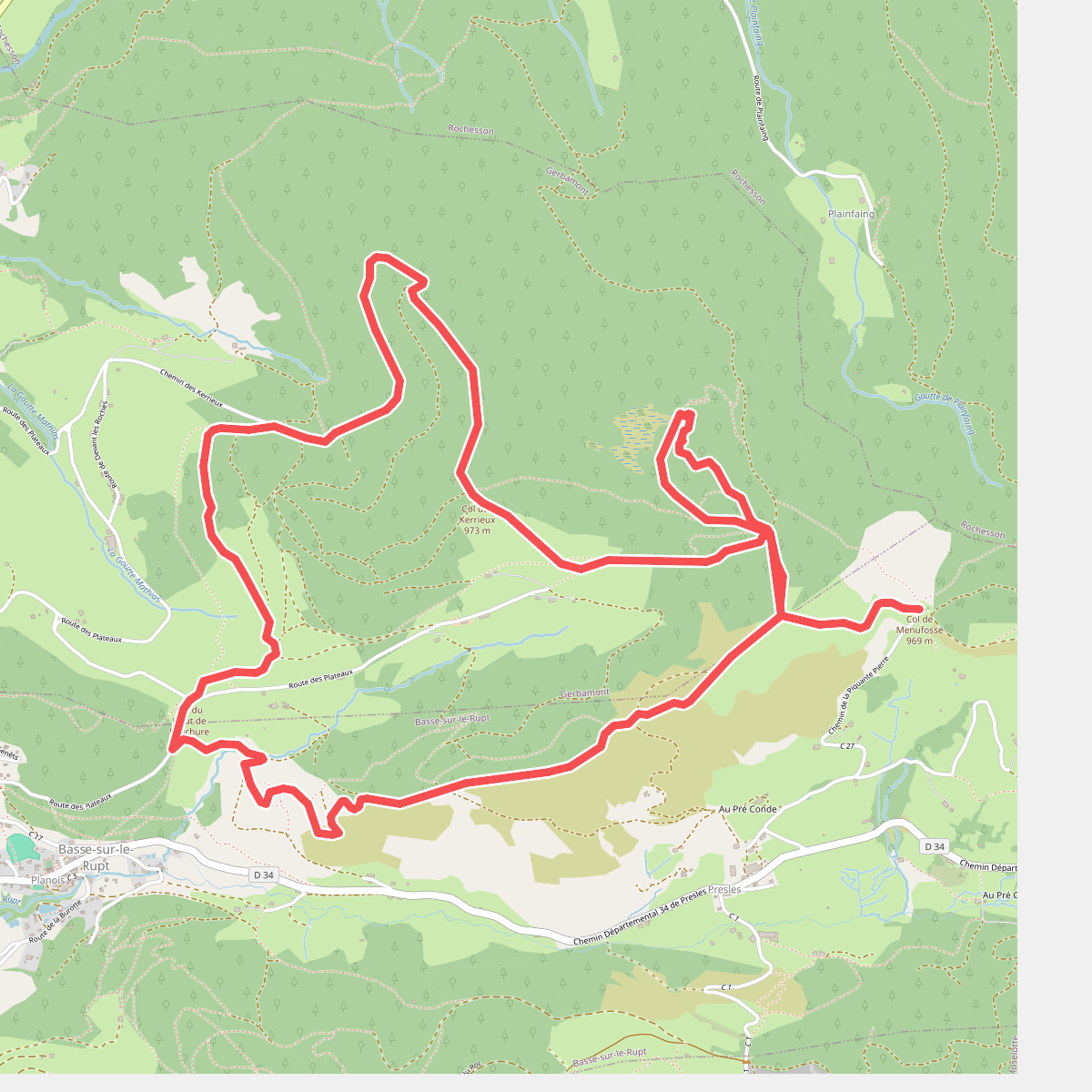
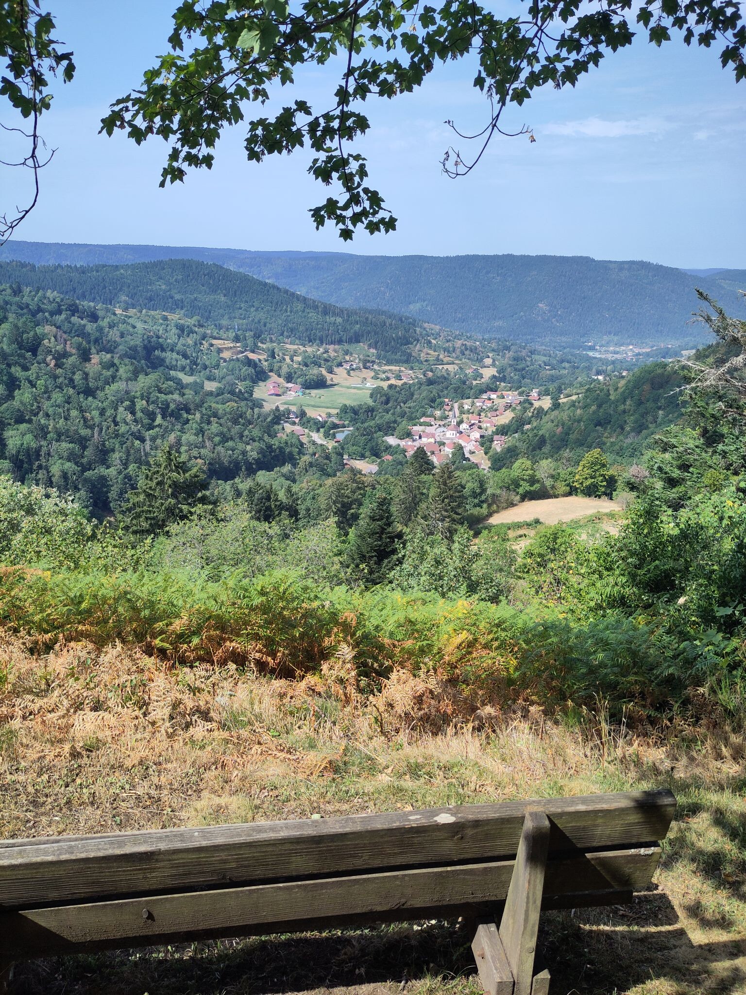
#1. Sentier historique du maquis de la Piquante Pierre

#2. Balade à 1000 temps

#3. Ballon d'Alsace - Saulnot

#4. Belfort - Dasle · GR5 etappe 58
Châlonvillars,Mandrevillars,Échenans-sous-Mont-Vaudois,Brevilliers,Châtenois-les-Forges,Trévenans,Nommay,Brognard,Allenjoie,Fesches-le-Châtel,Dampierre-les-Bois,Étupes,Dasle

#5. Boucle de la Beucinière

#6. Boucle des Belles Filles

#7. Boucle du Mont Coron

#8. Boucle du Mont Jean

#9. Boucle Nord

#10. Cabane Le Petit Chaume - Giromagn... · GR5 etappe 56
Saint-Maurice-sur-Moselle,Sewen,Lepuix,Giromagny

#11. Cascade de Battion et Roche des Ducs





