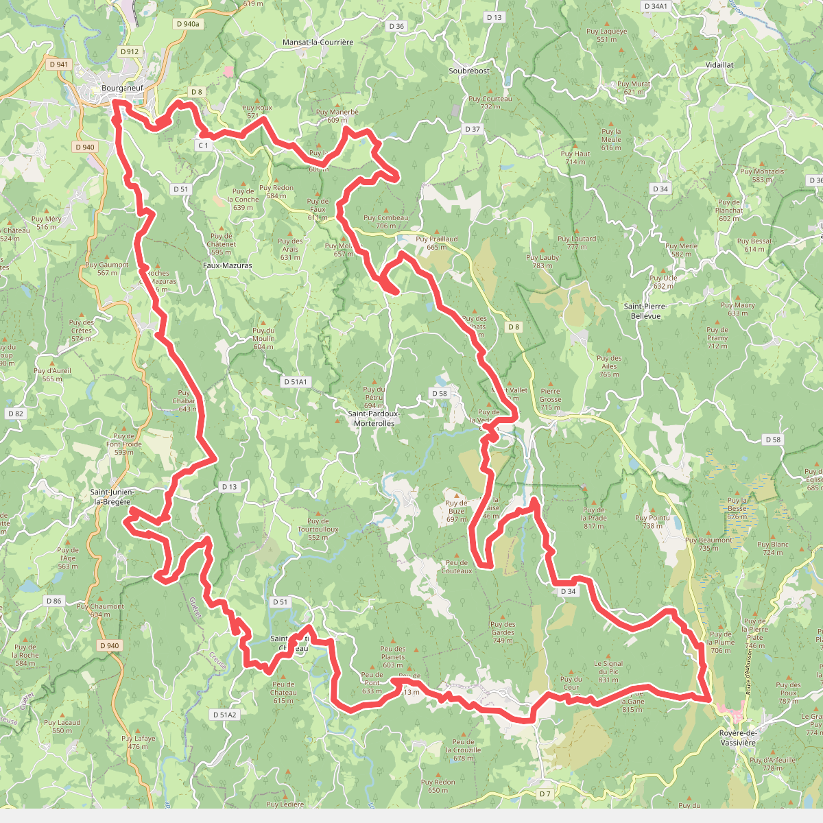
The best hiking routes in Parc naturel régional de Millevaches en Limousin
Discover the best walks in Parc naturel régional de Millevaches en Limousin. 10 routes on the map, with descriptions, photos and GPX.
About Parc naturel régional de Millevaches en Limousin
The Parc naturel régional de Millevaches en Limousin is a granite upland that forms the cold, damp rooftop of the Limousin region. Unlike the dramatic limestone gorges or volcanic peaks found further south in central France, this landscape is defined by gently undulating plateaus, dark spruce plantations, and vast peat bogs. The terrain is a sponge of water, where countless springs rise to feed major rivers, meaning walkers will constantly encounter damp ground, mossy woodlands, and small streams cutting through the granite bedrock.
Read more
About Parc naturel régional de Millevaches en Limousin
The Parc naturel régional de Millevaches en Limousin is a granite upland that forms the cold, damp rooftop of the Limousin region. Unlike the dramatic limestone gorges or volcanic peaks found further south in central France, this landscape is defined by gently undulating plateaus, dark spruce plantations, and vast peat bogs. The terrain is a sponge of water, where countless springs rise to feed major rivers, meaning walkers will constantly encounter damp ground, mossy woodlands, and small streams cutting through the granite bedrock.
Read moreThe Parc naturel régional de Millevaches en Limousin is a granite upland that forms the cold, damp rooftop of the Limousin region. Unlike the dramatic limestone gorges or volcanic peaks found further south in central France, this landscape is defined by gently undulating plateaus, dark spruce plantations, and vast peat bogs. The terrain is a sponge of water, where countless springs rise to feed major rivers, meaning walkers will constantly encounter damp ground, mossy woodlands, and small streams cutting through the granite bedrock.
Underfoot, the paths alternate between soft, peaty soil in the depressions and firm, stony granite tracks on the ridges. In the wetter areas, such as the bog of Longeyroux, wooden boardwalks are installed to keep walkers above the saturated ground, while elsewhere you will navigate narrow paths through dense bracken and heather. The vegetation changes visibly with elevation, shifting from deciduous beech and oak woods on the lower slopes to open, windswept heathlands on the higher ridges where the soil is too thin and acidic for trees to thrive.
In late August and September, the heather blooms across the open moors of the Monédières hills, turning the high ground purple. This is a quiet, rural working landscape where forestry and extensive cattle grazing shape the vegetation. While the most popular trails near the larger lakes can see regular foot traffic, the deeper forest tracks and bog margins offer a solitary walking experience dominated by the sound of running water and the rustle of pine needles.
Hiking routes in Parc naturel régional de Millevaches en Limousin (10)
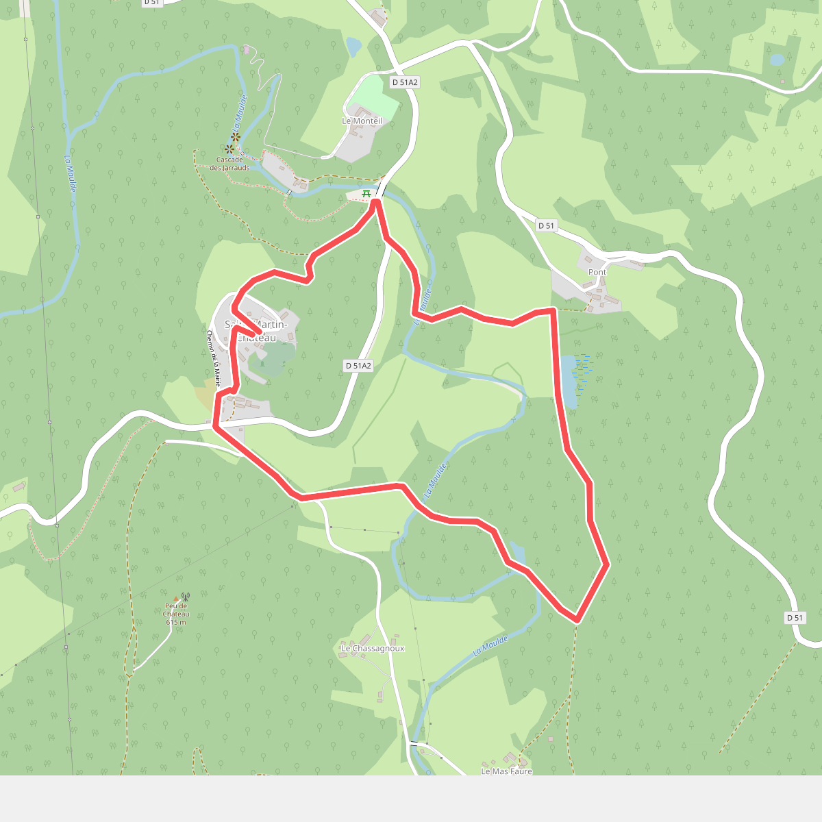
#1. Chemin de découverte de la vallée de la Maulde
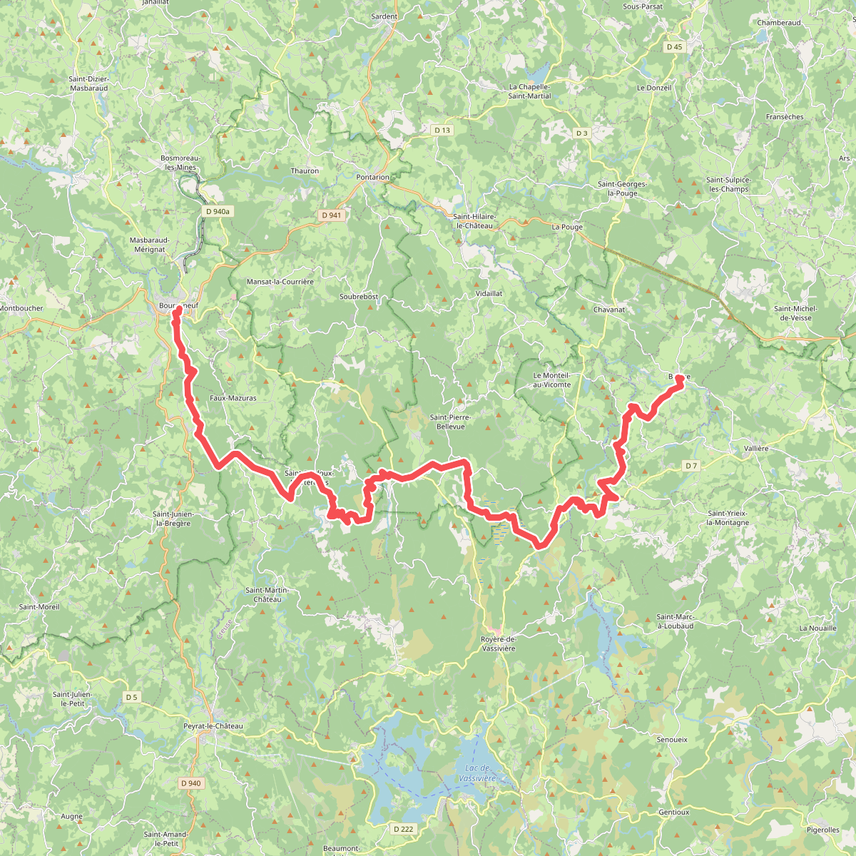
#2. Chemin de Montaigne de Banize à Bourganeuf
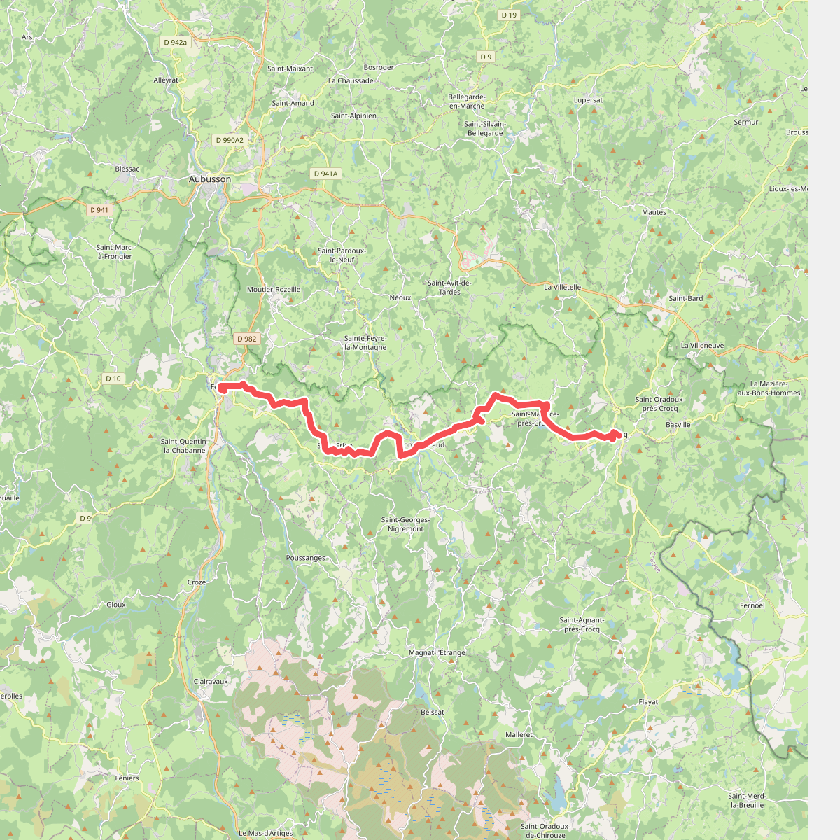
#3. Chemin de Montaigne de Crocq à Felletin
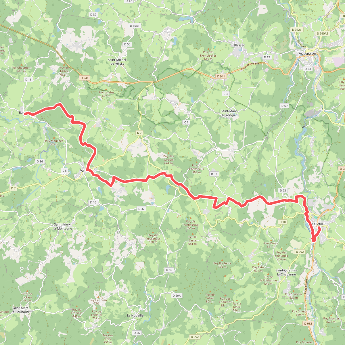
#4. Chemin de Montaigne de Felletin à Banize
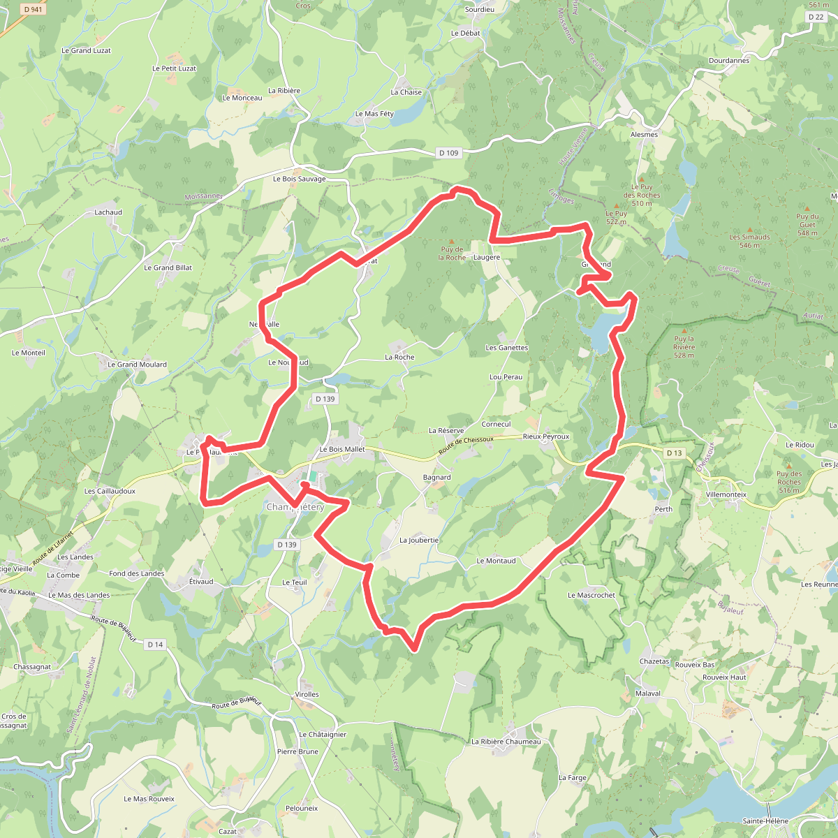
#5. Circuit des Cimes
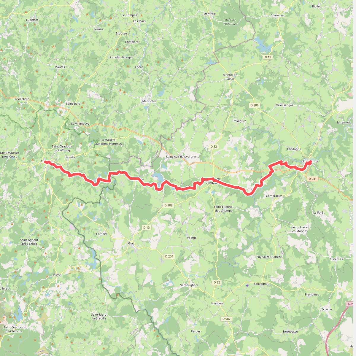
#6. De la Méditerranée à l'Océan · relation 15548626
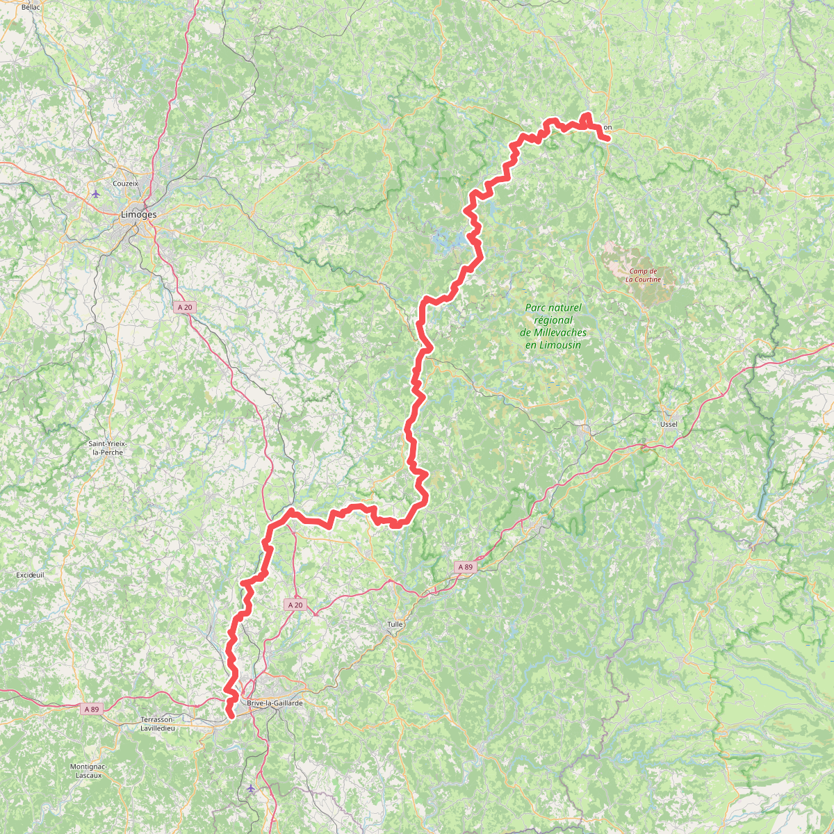
#7. De Tours à Toulouse 03, Aubusson - Brive-la-Gaillarde
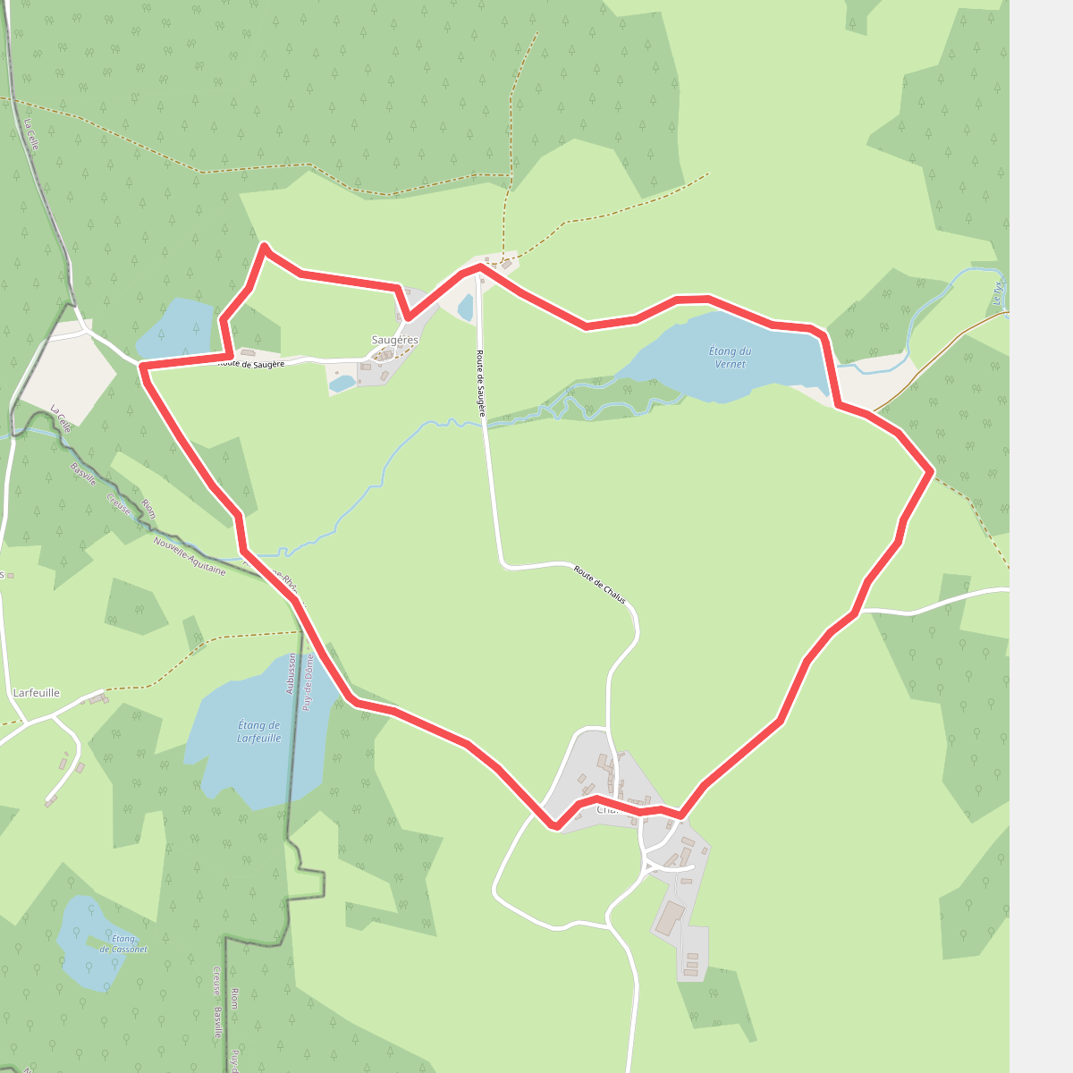
#8. Étang du Vernet
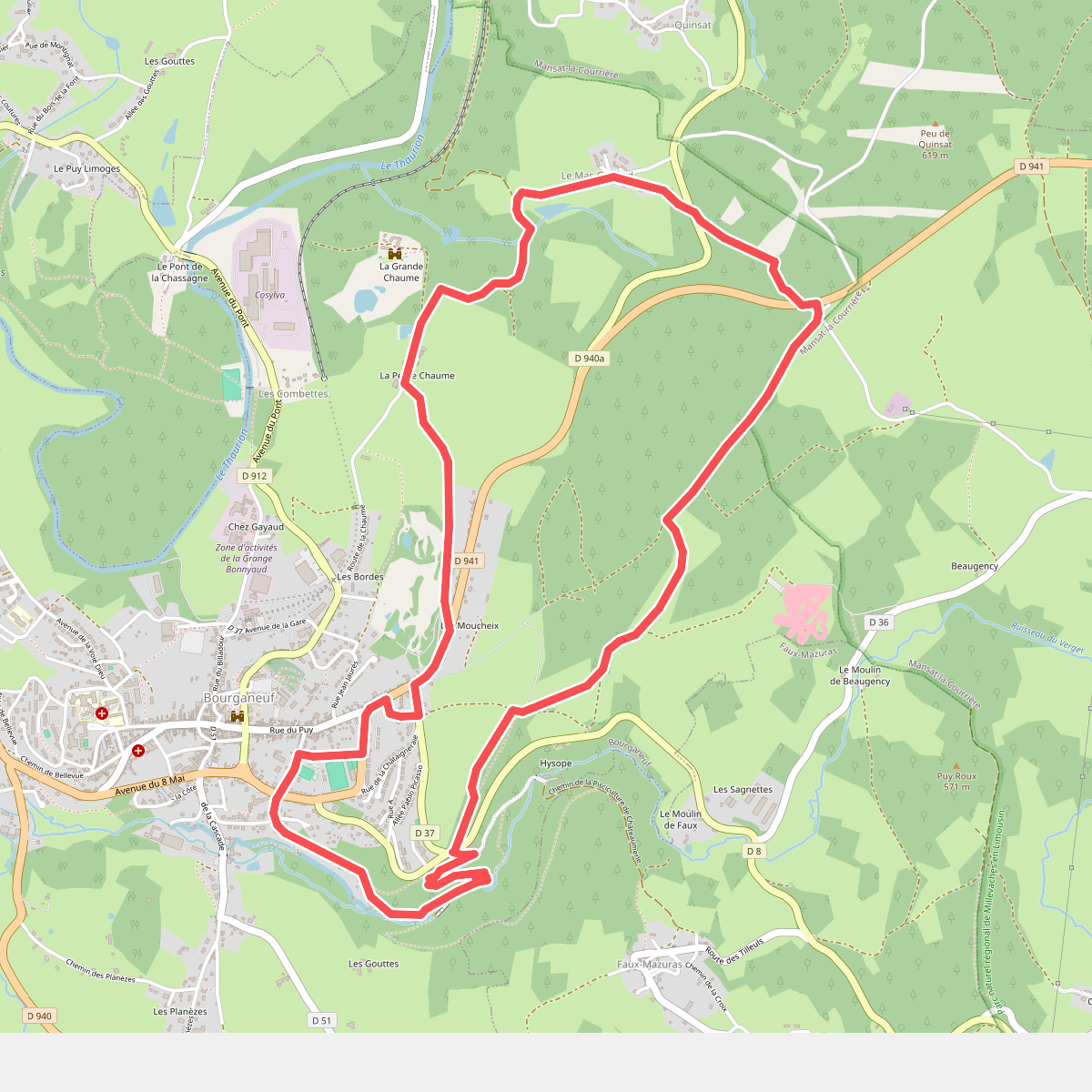
#9. La Perrière