

The best hiking routes in Parc national de la Vanoise (aire d'adhésion)
Discover the best walks in Parc national de la Vanoise (aire d'adhésion). 32 routes on the map, with descriptions, photos and GPX.
About Parc national de la Vanoise (aire d'adhésion)
The Parc national de la Vanoise (aire d'adhésion) represents the outer, inhabited zone of the national park, where traditional mountain villages, pasturelands, and pine forests meet the steep slopes of the high Alps. Unlike the uninhabited core zone, this area features a landscape shaped by centuries of alpine farming. You will walk through active dairy pastures, larch woodlands, and stone-built hamlets, rather than across barren glaciers and high-altitude scree fields.
Read more
About Parc national de la Vanoise (aire d'adhésion)
The Parc national de la Vanoise (aire d'adhésion) represents the outer, inhabited zone of the national park, where traditional mountain villages, pasturelands, and pine forests meet the steep slopes of the high Alps. Unlike the uninhabited core zone, this area features a landscape shaped by centuries of alpine farming. You will walk through active dairy pastures, larch woodlands, and stone-built hamlets, rather than across barren glaciers and high-altitude scree fields.
Read moreThe Parc national de la Vanoise (aire d'adhésion) represents the outer, inhabited zone of the national park, where traditional mountain villages, pasturelands, and pine forests meet the steep slopes of the high Alps. Unlike the uninhabited core zone, this area features a landscape shaped by centuries of alpine farming. You will walk through active dairy pastures, larch woodlands, and stone-built hamlets, rather than across barren glaciers and high-altitude scree fields.
Underfoot, the trails in this outer zone are generally wider and more established than the rugged tracks higher up. You will mostly walk on dirt paths, old agricultural tracks, and occasionally paved lanes connecting the hamlets. The terrain is steep, but it lacks the exposed, technical scrambles of the inner park. It is an ideal choice if you prefer walking through a living cultural landscape with regular access to mountain huts and villages.
In early summer, around June, the lower pastures are filled with wildflowers before the cattle are moved to higher ground. While the core zone of the park remains snowbound well into the season, these lower slopes clear much earlier, offering accessible walking while the high passes are still blocked. The well-known valley trailheads can be busy, but the forested paths between the smaller hamlets often offer a quieter experience.
Hiking routes in Parc national de la Vanoise (aire d'adhésion) (32)

#1. Boucle de Roche Jaille
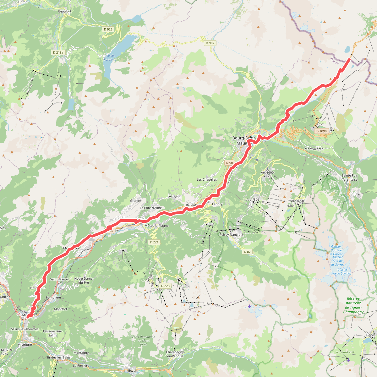
#2. Chemin de Szombathely, Col du Petit Saint-Bernard - Moûtiers

#3. Chemin de Szombathely, Moûtiers - Pontcharra

#4. Circuit de Planlebon

#5. Circuit des Demoiselles Coiffées

#6. Circuit des Lacs de Val Thorens

#7. Circuit des Lacs des Menuires

#8. Col de la Vallée Étroite

#9. Grande Traversée des Alpes - variante Montchavin (ancien tracé principal)

#10. K2 - Landry Aiguille Grive

#11. La Gittaz - Le Daillait





