The best hiking routes in Parc Nacional d'Aigüestortes i Estany de Sant Maurici
Discover the best walks in Parc Nacional d'Aigüestortes i Estany de Sant Maurici. 22 routes on the map, with descriptions, photos and GPX.
About Parc Nacional d'Aigüestortes i Estany de Sant Maurici
Parc Nacional d'Aigüestortes i Estany de Sant Maurici is defined by water and granite. Unlike drier Pyrenean sectors, this park is shaped by hundreds of glacial lakes and meandering stream flats, known locally as aigüestortes, where rivers split into networks across high meadows. The terrain is steep and rocky, dominated by massive granite peaks like Els Encantats. Walkers should expect sharp elevation changes, with paths climbing quickly from forested valleys into high-altitude granite basins where vegetation becomes sparse.
Read more
About Parc Nacional d'Aigüestortes i Estany de Sant Maurici
Parc Nacional d'Aigüestortes i Estany de Sant Maurici is defined by water and granite. Unlike drier Pyrenean sectors, this park is shaped by hundreds of glacial lakes and meandering stream flats, known locally as aigüestortes, where rivers split into networks across high meadows. The terrain is steep and rocky, dominated by massive granite peaks like Els Encantats. Walkers should expect sharp elevation changes, with paths climbing quickly from forested valleys into high-altitude granite basins where vegetation becomes sparse.
Read moreParc Nacional d'Aigüestortes i Estany de Sant Maurici is defined by water and granite. Unlike drier Pyrenean sectors, this park is shaped by hundreds of glacial lakes and meandering stream flats, known locally as aigüestortes, where rivers split into networks across high meadows. The terrain is steep and rocky, dominated by massive granite peaks like Els Encantats. Walkers should expect sharp elevation changes, with paths climbing quickly from forested valleys into high-altitude granite basins where vegetation becomes sparse.
Underfoot, the trails vary significantly by altitude. Lower paths, particularly around the famous lake of Estany de Sant Maurici, often feature wooden boardwalks to protect the peat bogs and wet meadows. As you ascend toward the mountain passes, these prepared paths give way to rough, uneven granite scree, boulder fields, and steep dirt tracks. Navigating these higher sections requires steady footwork over loose stone and exposed rock slabs.
By late June, the winter snow has usually cleared from the main passes, revealing alpine meadows filled with gentians and orchids. The park operates a system of restricted access, meaning walkers must either use public 4x4 taxis from Espot or Boí to reach the main trailheads, or walk in from the lower park boundaries. The areas near these taxi drop-off points are often busy, but the high-altitude granite circuits and the steeper climbs toward the mountain refuges remain much quieter.
Hiking routes in Parc Nacional d'Aigüestortes i Estany de Sant Maurici (22)
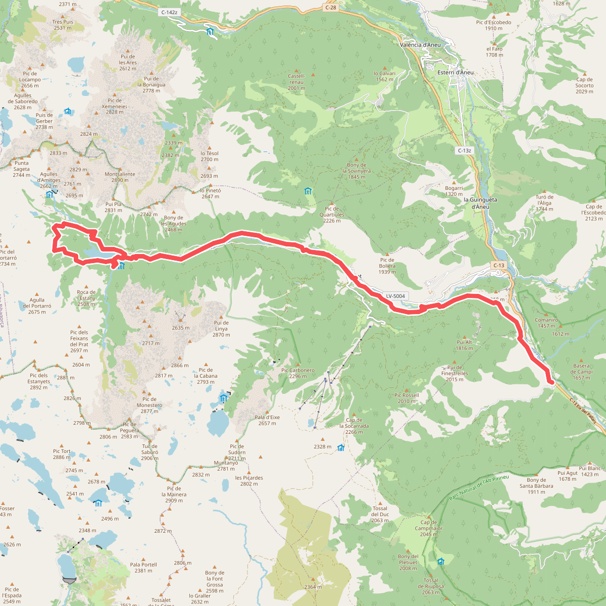
#1. Camí de l'Aigua
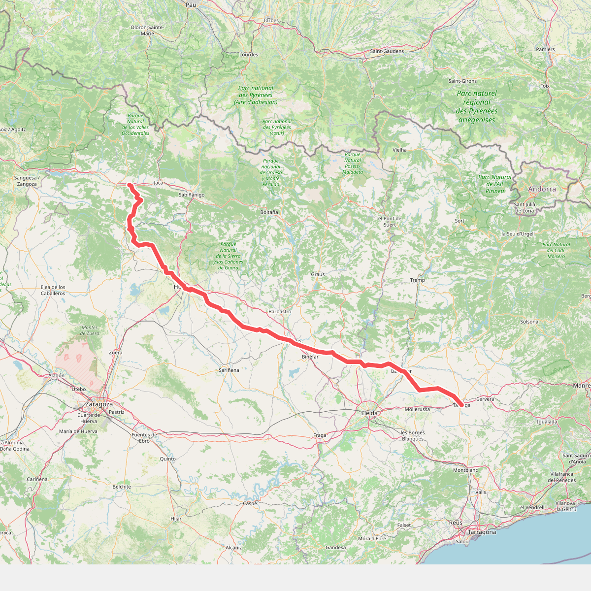
#2. Camino de Santiago por Huesca
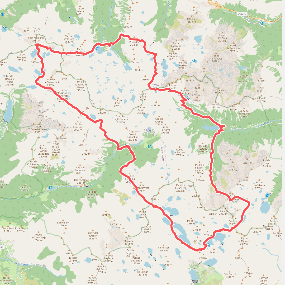
#3. Carros de Foc
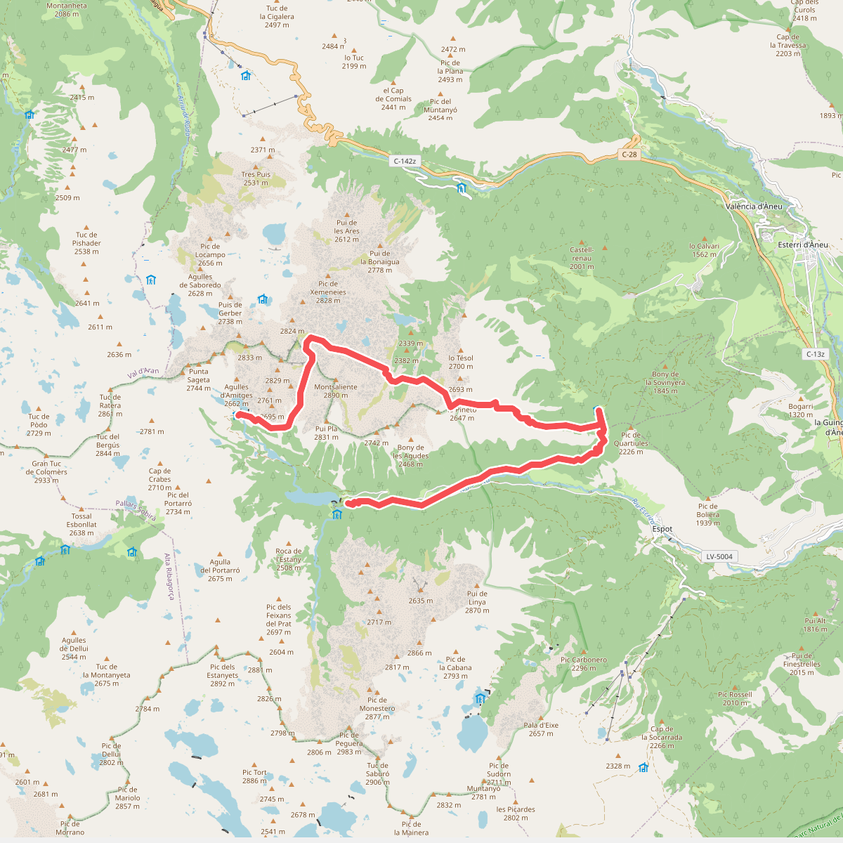
#4. Carros de Foc Plus
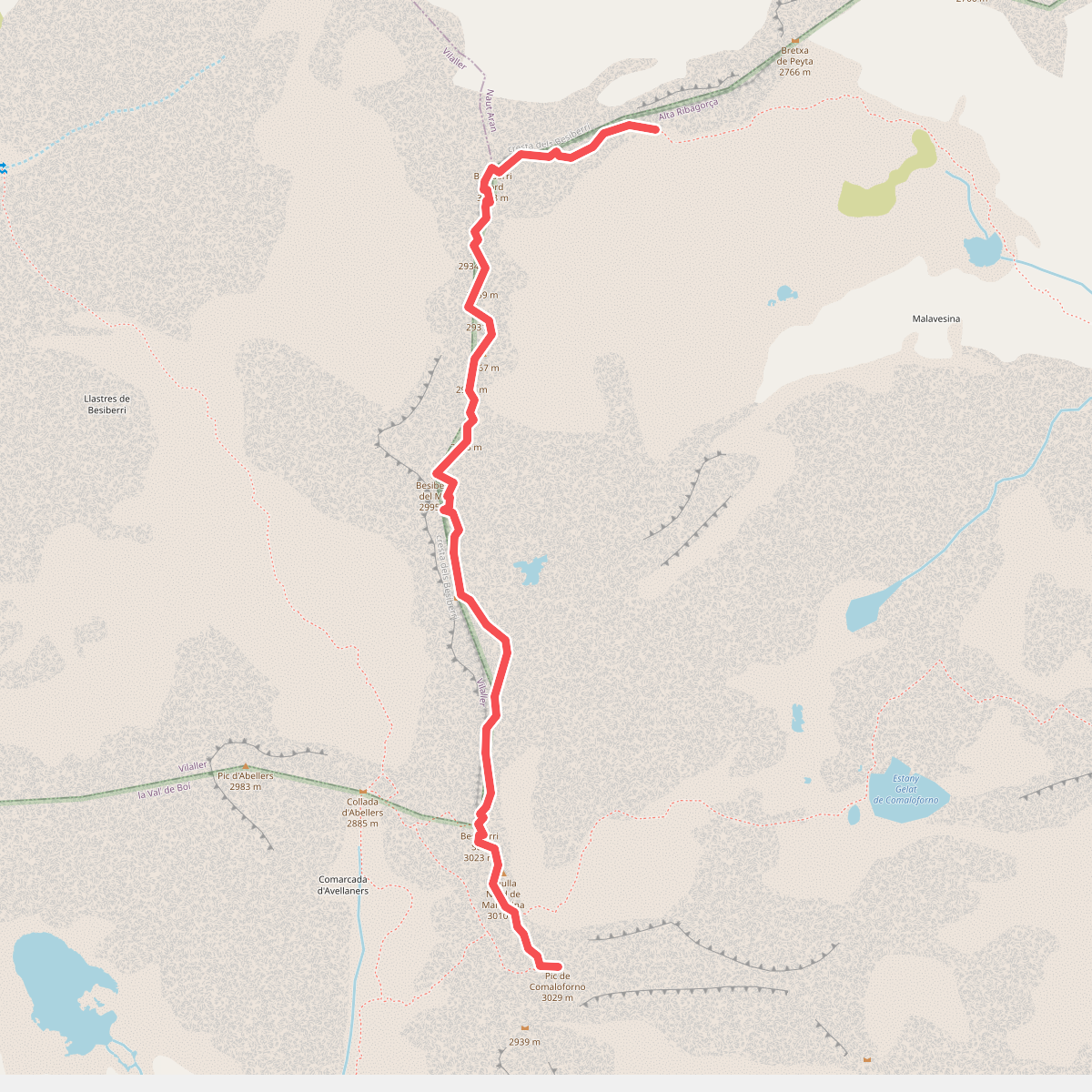
#5. Cresta del Besiberri
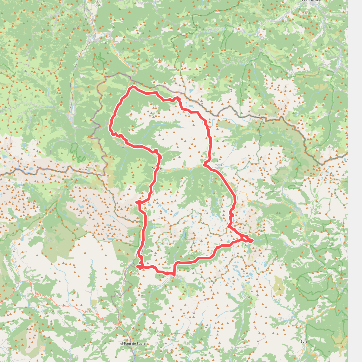
#6. el Gran Bucle
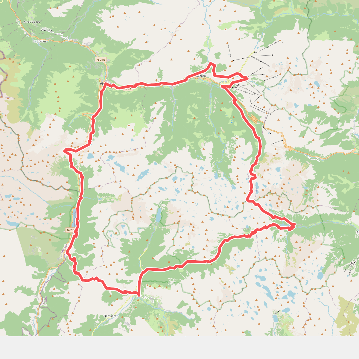
#7. Encantats
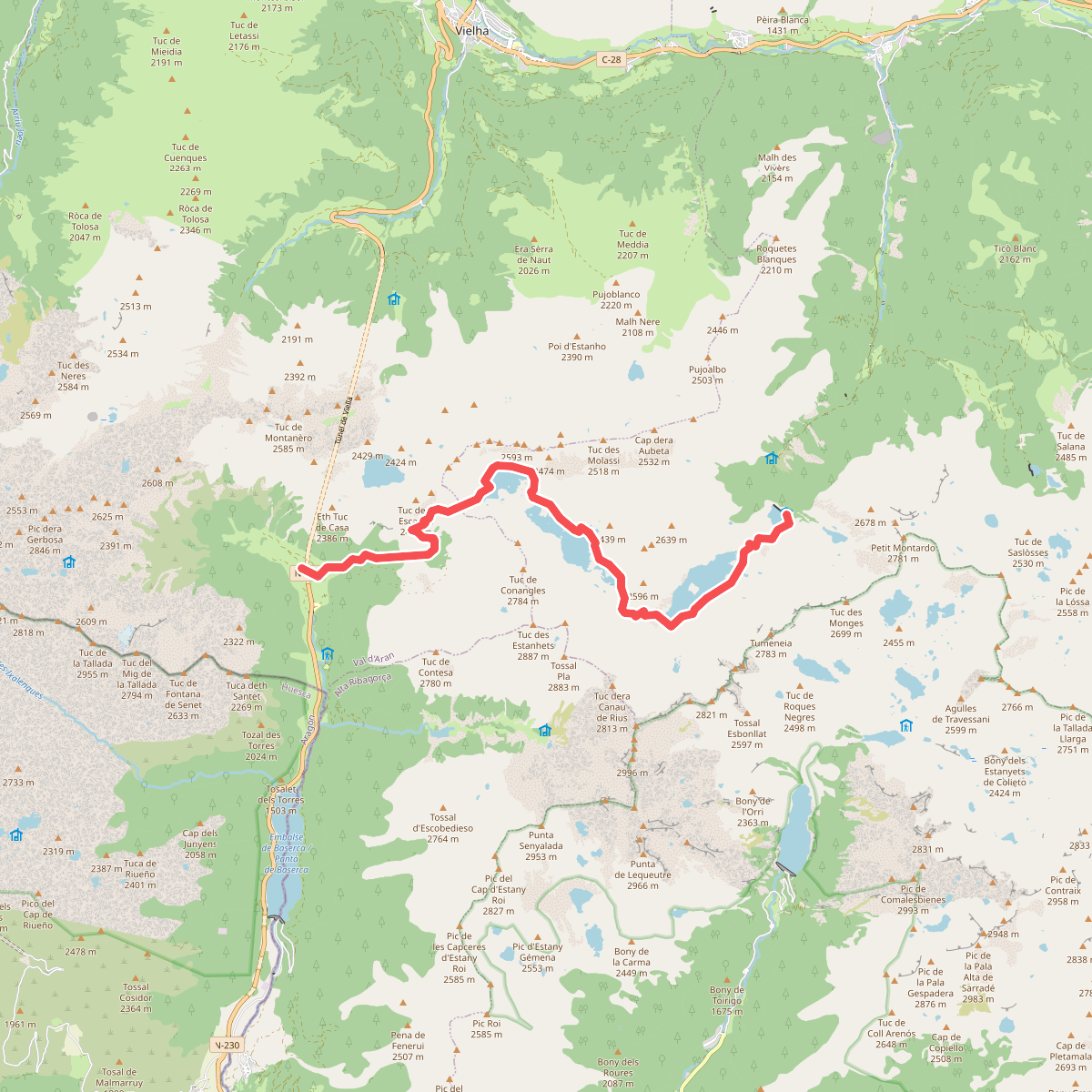
#8. HRP Étape 23
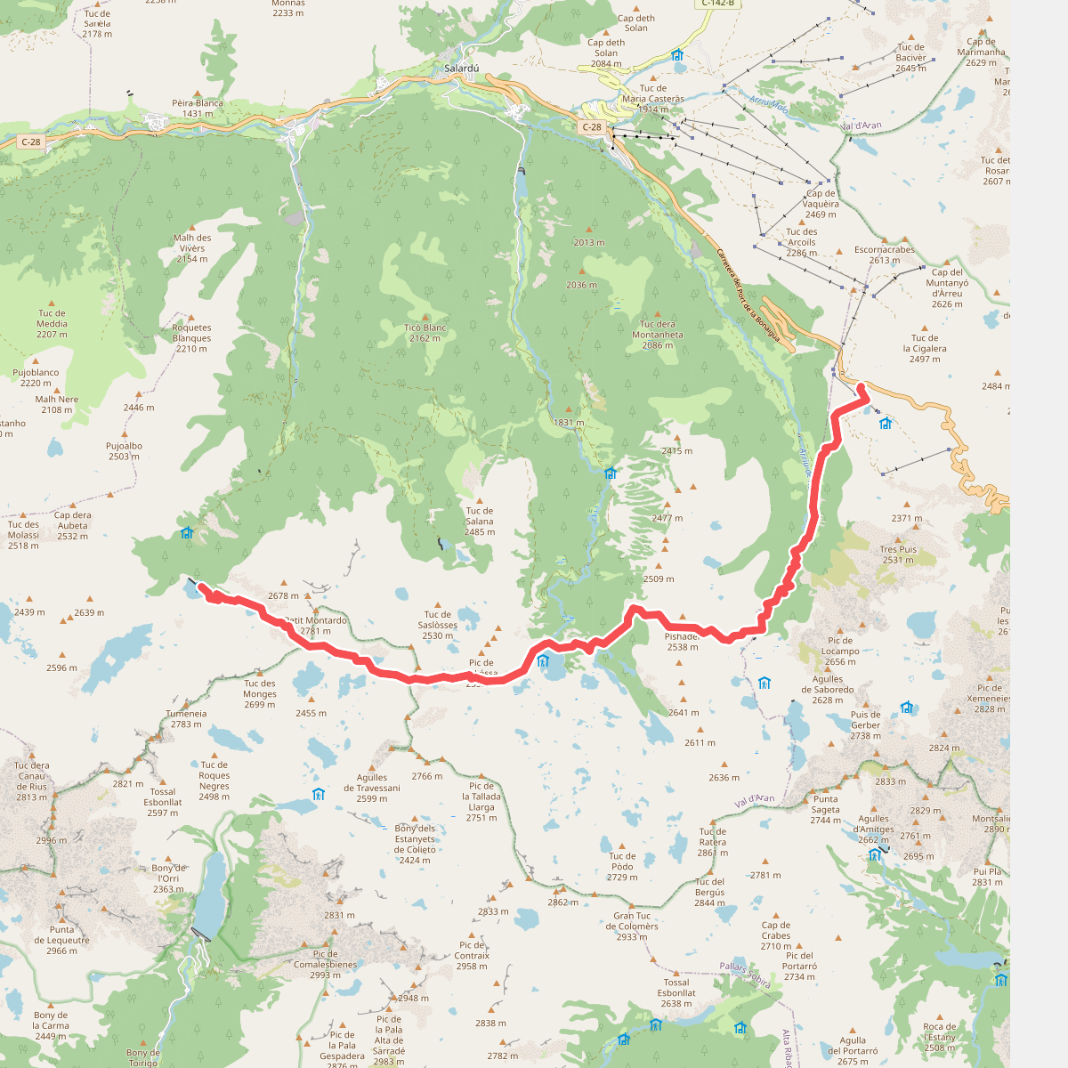
#9. HRP Étape 24
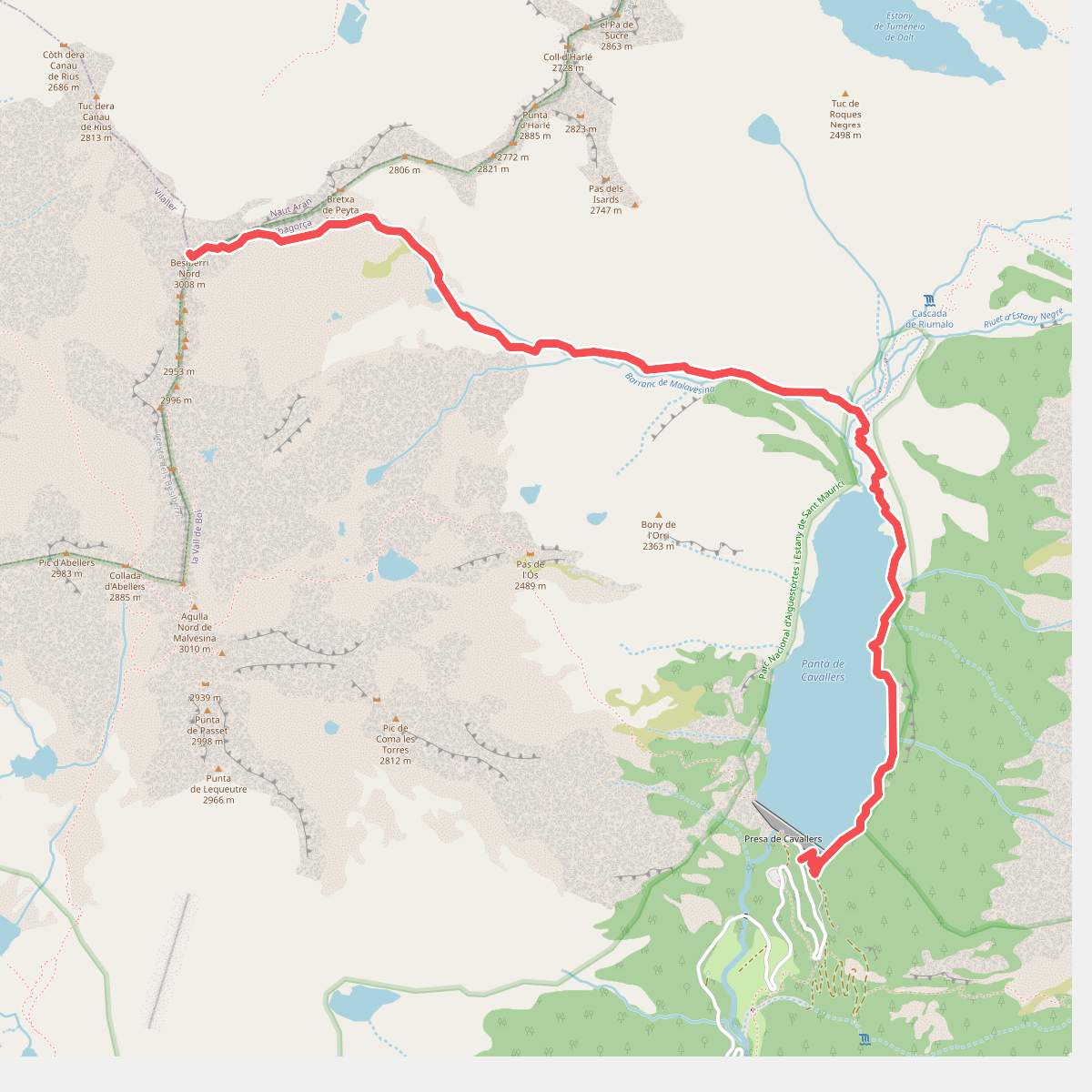
#10. Presa de Cavallers-Besiberri Nord
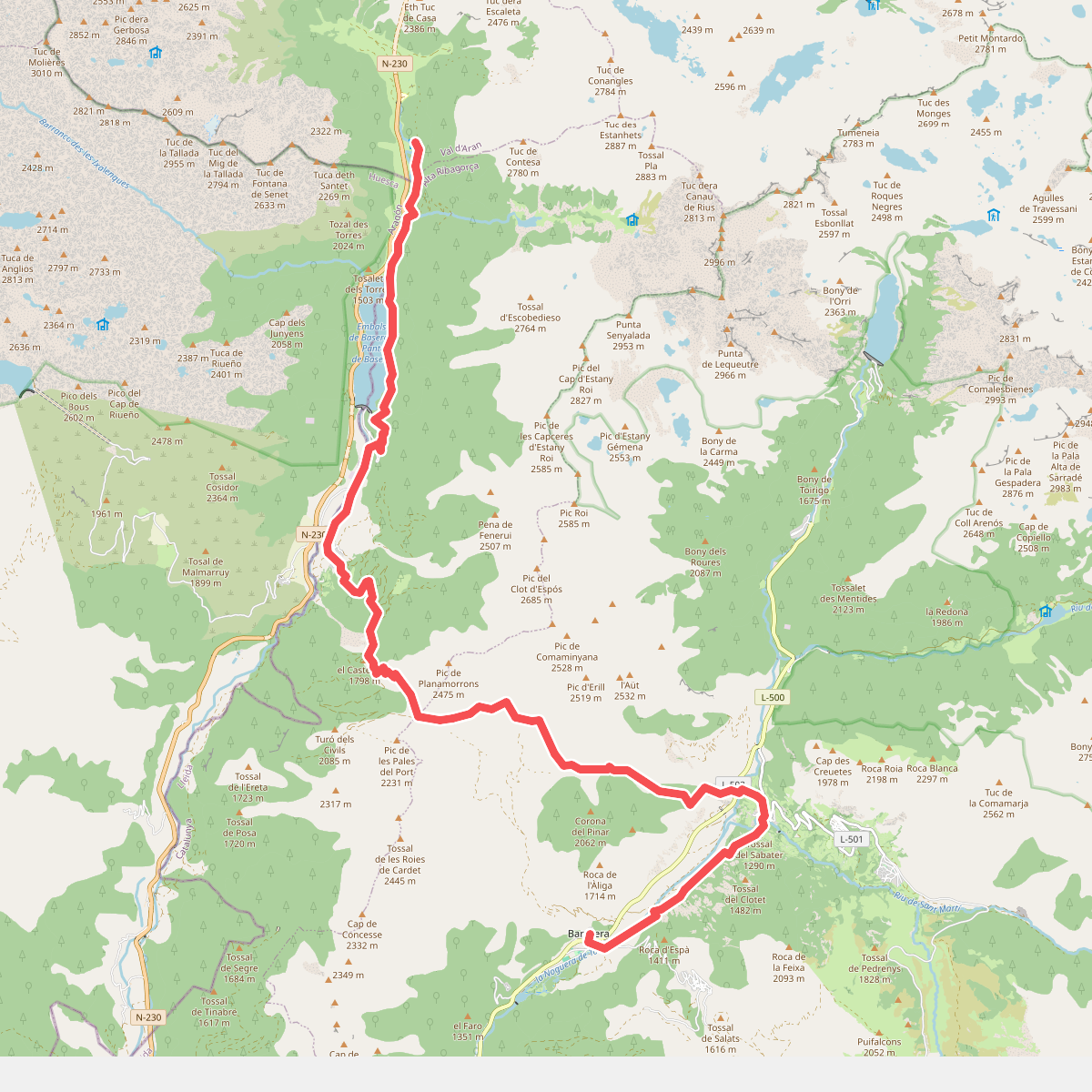
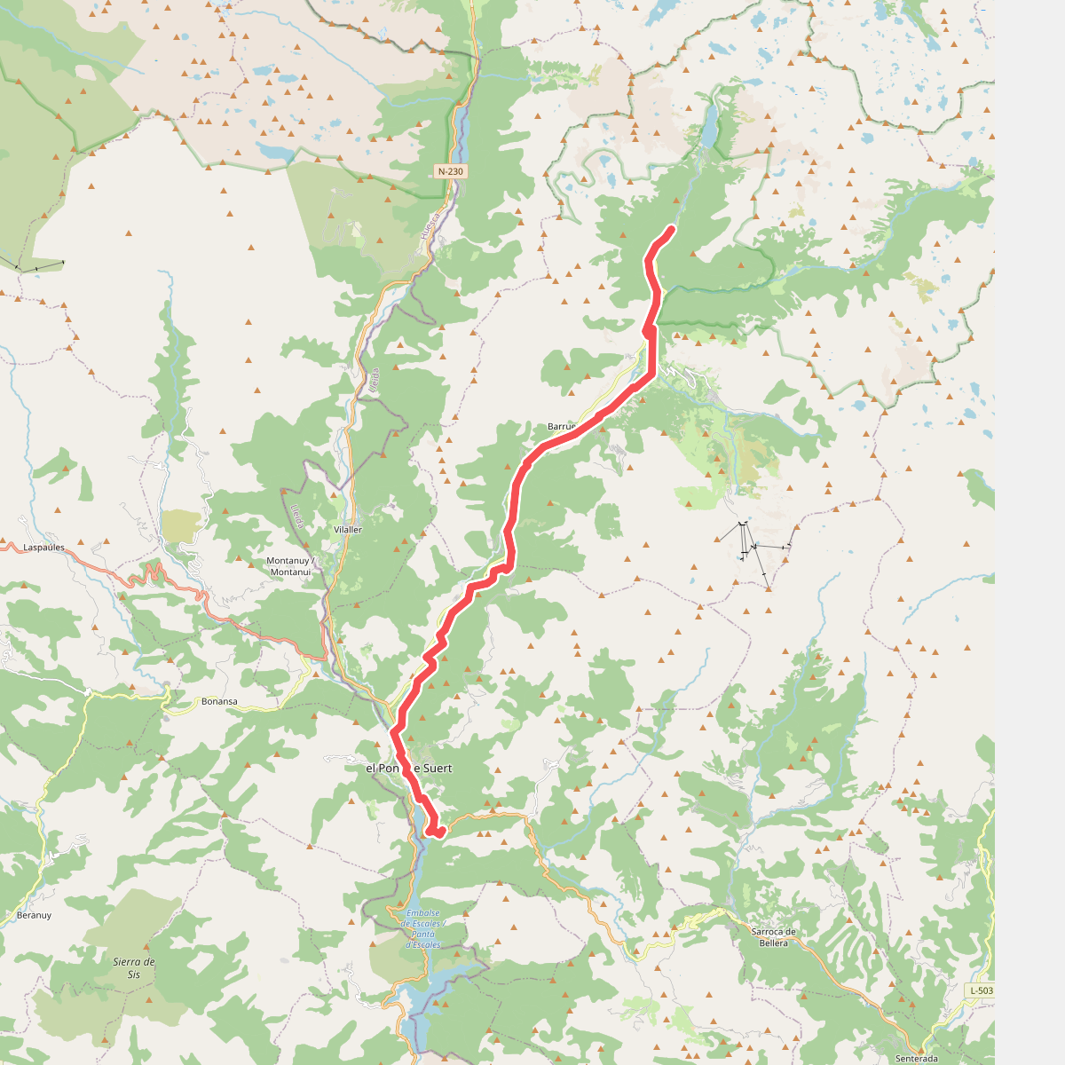
#11. Ramat de Camins. Etapa 14 : Refugi de Conangles => Barruera