

The best hiking routes in Naturpark Kellerwald-Edersee
Discover the best walks in Naturpark Kellerwald-Edersee. 36 routes on the map, with descriptions, photos and GPX.
About Naturpark Kellerwald-Edersee
Naturpark Kellerwald-Edersee is characterized by extensive, unfragmented beech forests that drape over a series of low, rounded slate hills. Unlike flatter pine-dominated regions, this area offers a dense canopy of ancient trees, particularly on the steep slopes facing the Edersee reservoir. The terrain is defined by these rolling hills rather than dramatic peaks, meaning walkers will encounter steady, moderate climbs on dirt tracks and stony forest paths rather than rugged scrambling.
Read more
About Naturpark Kellerwald-Edersee
Naturpark Kellerwald-Edersee is characterized by extensive, unfragmented beech forests that drape over a series of low, rounded slate hills. Unlike flatter pine-dominated regions, this area offers a dense canopy of ancient trees, particularly on the steep slopes facing the Edersee reservoir. The terrain is defined by these rolling hills rather than dramatic peaks, meaning walkers will encounter steady, moderate climbs on dirt tracks and stony forest paths rather than rugged scrambling.
Read moreNaturpark Kellerwald-Edersee is characterized by extensive, unfragmented beech forests that drape over a series of low, rounded slate hills. Unlike flatter pine-dominated regions, this area offers a dense canopy of ancient trees, particularly on the steep slopes facing the Edersee reservoir. The terrain is defined by these rolling hills rather than dramatic peaks, meaning walkers will encounter steady, moderate climbs on dirt tracks and stony forest paths rather than rugged scrambling.
Underfoot, the paths are mostly natural forest soil, often covered in leaf litter, which can become slick over wet slate. The northern edge of the park is dominated by the steep, rocky slopes of the Eder valley, where the soil is thinner and the trees are more gnarled. In contrast, the southern and central sections feature deeper soils with taller, straight-trunked beeches and occasional open meadows in the valley bottoms.
In October, the canopy turns a deep copper, making this the most distinctive time to observe the sheer scale of the beech forest. Walkers should expect a quiet, enclosed woodland experience where views are mostly framed by trunks and foliage, rather than wide, open vistas. The shoreline paths along the reservoir offer a clear contrast, where the forest abruptly meets the water.
Hiking routes in Naturpark Kellerwald-Edersee (36)

#1. Ab ins Kloster - Immighausen Rundweg
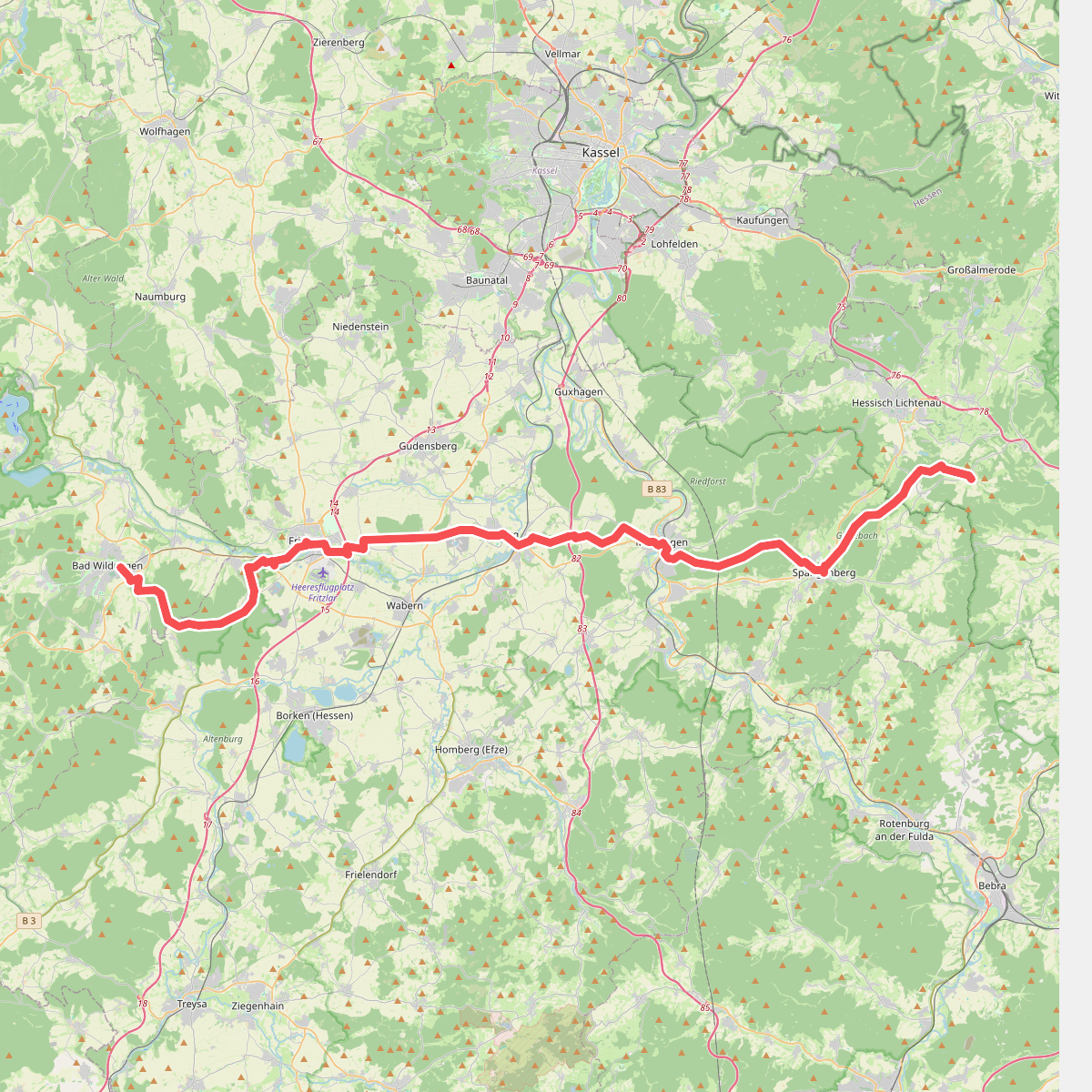
#2. Barbarossaweg (Teilstück Bad Wildungen - Reichenbach)

#3. Barbarossaweg (Teilstück Korbach - Bad Wildungen)

#4. Bloßenberg-Route bei Bringhausen

#5. Bonifatiuspfad Abschnitt 4, - Naumburg - Fritzlar

#6. Bonifatiuspfad Abschnitt 5, Fritzlar - Borken

#7. Ederhöhenweg Etappe 6
Frankenberg (Eder),Vöhl

#8. Ederhöhenweg Etappe 7
Vöhl,Edertal

#9. Ederhöhenweg Etappe 8
Edertal

#10. Elisabethpfad 2 (Teilstück Waldkappl - Ziegenhain)

#11. European Long distance path E1 - part Germany, Nordrhein-Westfalen (south)

#12. Frebershausen - F6
Bad Wildungen




