The best hiking routes in Naturpark Aukrug
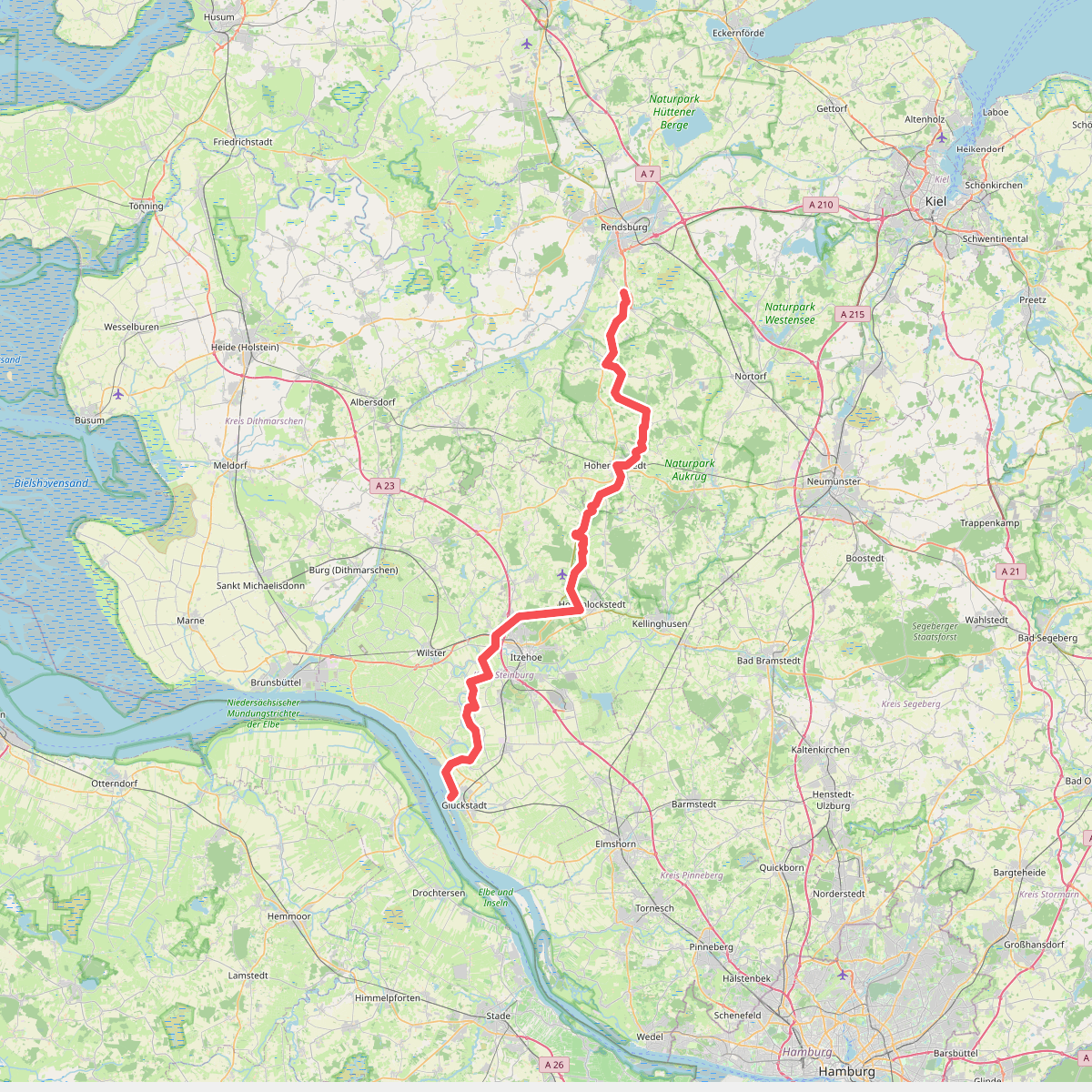
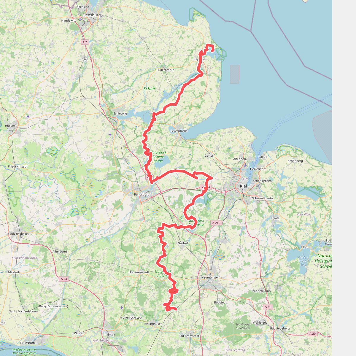
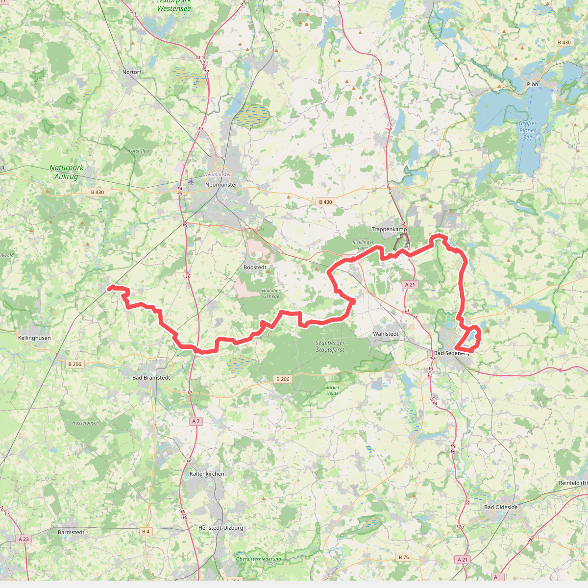
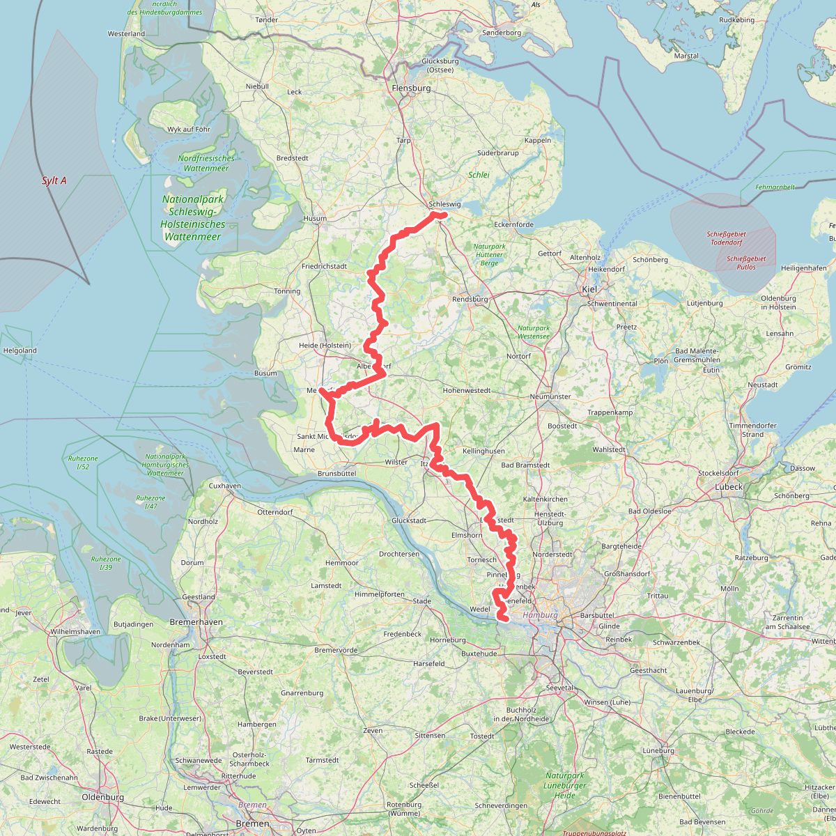
Discover the best walks in Naturpark Aukrug. 4 routes on the map, with descriptions, photos and GPX.
About Naturpark Aukrug
Naturpark Aukrug presents a gently rolling landscape in the heart of Schleswig-Holstein, defined by its mix of low moraine hills, small forests, and wet meadows. Unlike the flat marshlands closer to the coast, this park features subtle elevation changes shaped by the last ice age. Walkers will find a patchwork of agricultural fields interspersed with pockets of beech woods, alder carrs, and small peat bogs. It is a quiet, rural terrain where the scale remains small and intimate, rather than dramatic or expansive.
Read more
About Naturpark Aukrug
Naturpark Aukrug presents a gently rolling landscape in the heart of Schleswig-Holstein, defined by its mix of low moraine hills, small forests, and wet meadows. Unlike the flat marshlands closer to the coast, this park features subtle elevation changes shaped by the last ice age. Walkers will find a patchwork of agricultural fields interspersed with pockets of beech woods, alder carrs, and small peat bogs. It is a quiet, rural terrain where the scale remains small and intimate, rather than dramatic or expansive.
Read moreNaturpark Aukrug presents a gently rolling landscape in the heart of Schleswig-Holstein, defined by its mix of low moraine hills, small forests, and wet meadows. Unlike the flat marshlands closer to the coast, this park features subtle elevation changes shaped by the last ice age. Walkers will find a patchwork of agricultural fields interspersed with pockets of beech woods, alder carrs, and small peat bogs. It is a quiet, rural terrain where the scale remains small and intimate, rather than dramatic or expansive.
Underfoot, the paths vary from firm dirt tracks through the farming areas to soft, needle-strewn soil within the pine and beech forests. Some low-lying sections near the small streams and boggy depressions can be damp underfoot, occasionally requiring boardwalks or leading onto sandy paths that dry quickly. The network of trails is mostly level, making it suitable for steady, rhythmic walking rather than demanding climbs.
In late summer, particularly around August, the small heathland patches show their purple colors, contrasting with the deep green of the surrounding forests. The area is generally peaceful, though the paths closest to the small villages can see more local foot traffic on weekends. It is a landscape best suited for those who appreciate quiet woodland detail, small-scale farming patterns, and the slow transition from dry sandy ridges to damp valley bottoms.