The best hiking routes in Marais indivis de Grande Brière Mottière
Discover the best walks in Marais indivis de Grande Brière Mottière. 4 routes on the map, with descriptions, photos and GPX.
About Marais indivis de Grande Brière Mottière
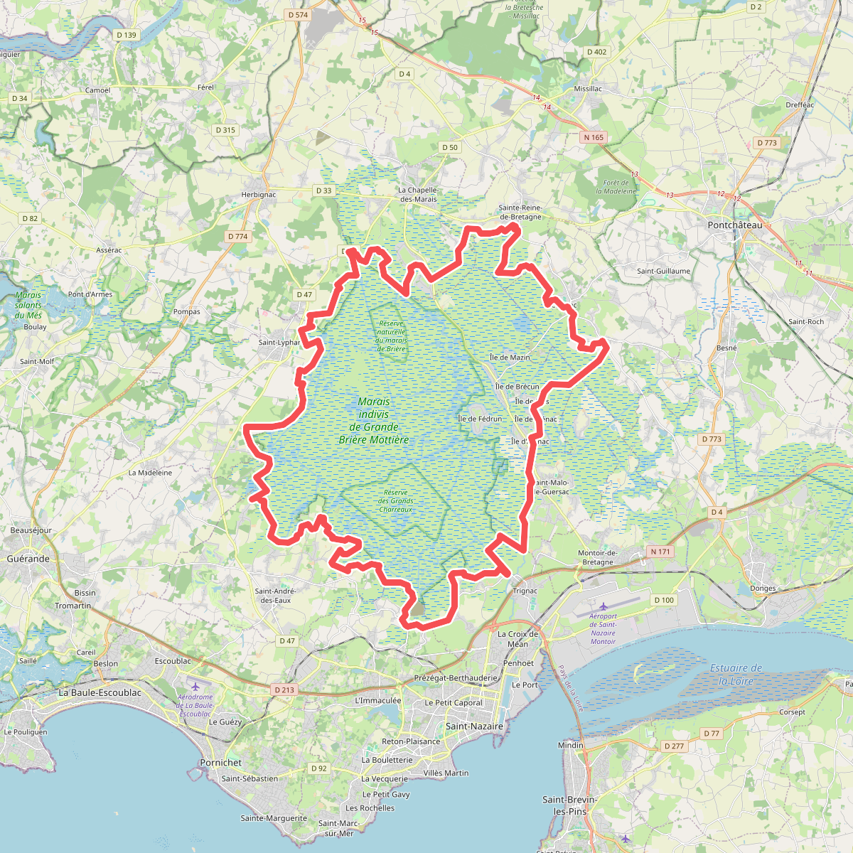
The Marais indivis de Grande Brière Mottière is a vast, flat expanse of freshwater marshland and peat bogs, where the landscape is defined by water levels rather than elevation. Walking here means navigating a network of narrow canals, reed beds, and small islands of dry ground. There are no hills or deep valleys; instead, the terrain is entirely level, consisting of wet meadows, peat cuttings, and shallow pools. The ground underfoot alternates between damp grassy paths, muddy tracks, and occasional gravel lanes, requiring sturdy footwear even in drier periods.
Read more
About Marais indivis de Grande Brière Mottière
The Marais indivis de Grande Brière Mottière is a vast, flat expanse of freshwater marshland and peat bogs, where the landscape is defined by water levels rather than elevation. Walking here means navigating a network of narrow canals, reed beds, and small islands of dry ground. There are no hills or deep valleys; instead, the terrain is entirely level, consisting of wet meadows, peat cuttings, and shallow pools. The ground underfoot alternates between damp grassy paths, muddy tracks, and occasional gravel lanes, requiring sturdy footwear even in drier periods.
Read moreThe Marais indivis de Grande Brière Mottière is a vast, flat expanse of freshwater marshland and peat bogs, where the landscape is defined by water levels rather than elevation. Walking here means navigating a network of narrow canals, reed beds, and small islands of dry ground. There are no hills or deep valleys; instead, the terrain is entirely level, consisting of wet meadows, peat cuttings, and shallow pools. The ground underfoot alternates between damp grassy paths, muddy tracks, and occasional gravel lanes, requiring sturdy footwear even in drier periods.
To understand this landscape as you walk, look at the vegetation and the straight lines of the water channels. The area is a managed wetland where peat was historically extracted, leaving behind a mosaic of open water and reed beds. In autumn, particularly around October, the reeds turn a deep golden brown, and the water channels reflect the low light. Unlike coastal salt marshes, this is a freshwater environment, which dictates the types of rushes, willows, and water lilies you will see along the path.
Visitors should expect a quiet, horizontal landscape where the main challenge is navigating around the water rather than climbing. The paths can feel repetitive due to the uniform height of the reeds, but the area offers a close-up look at traditional wetland management. While some access points near the villages feature firmer, well-trodden paths, the deeper trails into the marsh are more rustic and can be obstructed by vegetation or water depending on the season.