

The best hiking routes in Kempenland-West
Discover the best walks in Kempenland-West. 27 routes on the map, with descriptions, photos and GPX.
Managed by Brabants Landschap;Staatsbosbeheer;Rijkswaterstaat


About Kempenland-West
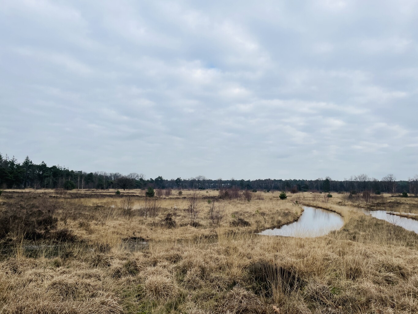
Kempenland-West offers a landscape of flat pine plantations, open wet heathlands, and small winding streams. Unlike the hilly forests found elsewhere in the country, this area is characterized by its gentle, almost imperceptible gradients and a network of straight forestry tracks that cut through the woodland. Walkers will notice a distinct contrast between the dry, sandy paths underfoot in the pine sections and the damp, peaty soil that borders the marshy fens.
Read more
About Kempenland-West
Kempenland-West offers a landscape of flat pine plantations, open wet heathlands, and small winding streams. Unlike the hilly forests found elsewhere in the country, this area is characterized by its gentle, almost imperceptible gradients and a network of straight forestry tracks that cut through the woodland. Walkers will notice a distinct contrast between the dry, sandy paths underfoot in the pine sections and the damp, peaty soil that borders the marshy fens.
Read moreKempenland-West offers a landscape of flat pine plantations, open wet heathlands, and small winding streams. Unlike the hilly forests found elsewhere in the country, this area is characterized by its gentle, almost imperceptible gradients and a network of straight forestry tracks that cut through the woodland. Walkers will notice a distinct contrast between the dry, sandy paths underfoot in the pine sections and the damp, peaty soil that borders the marshy fens.
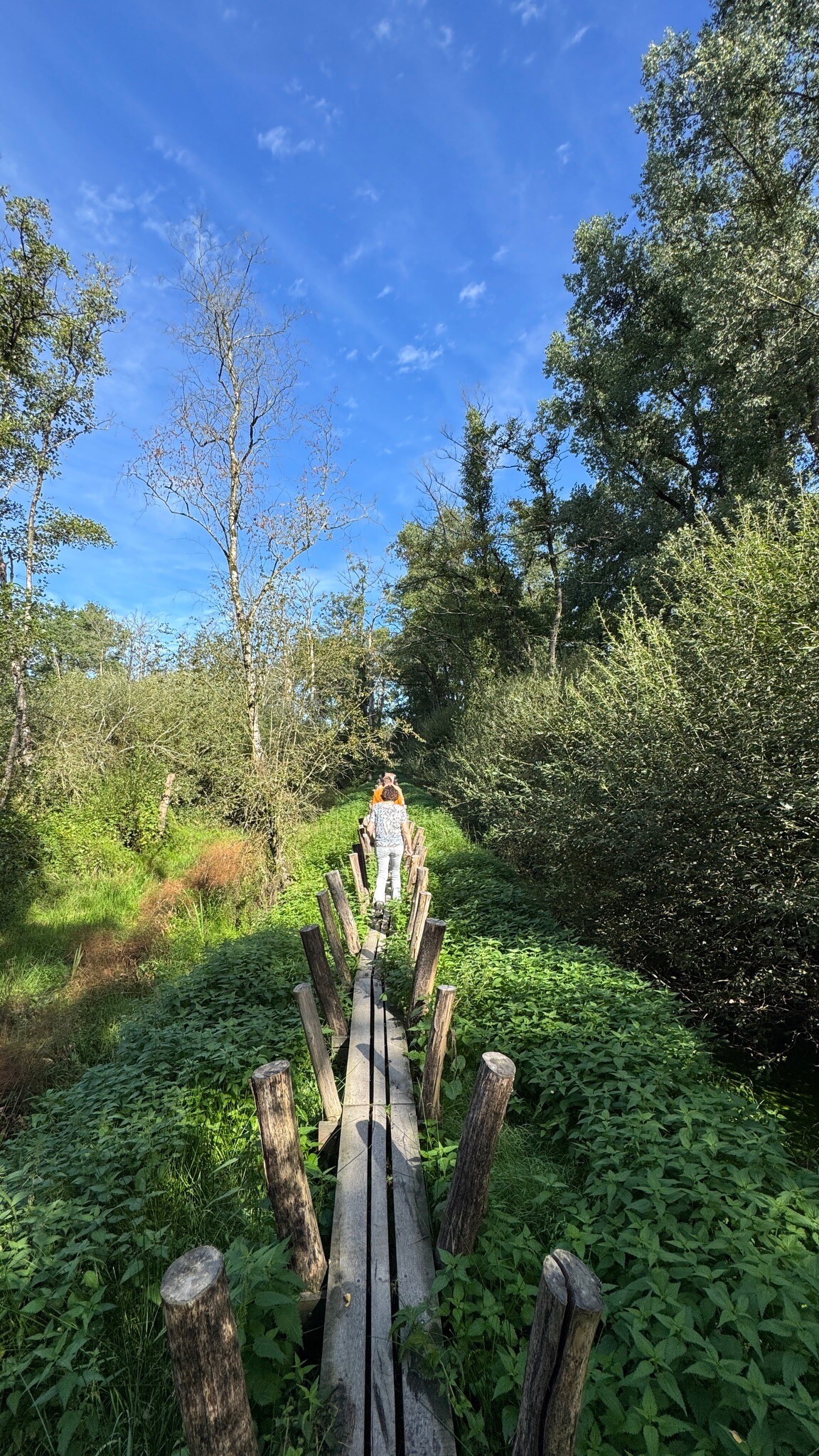
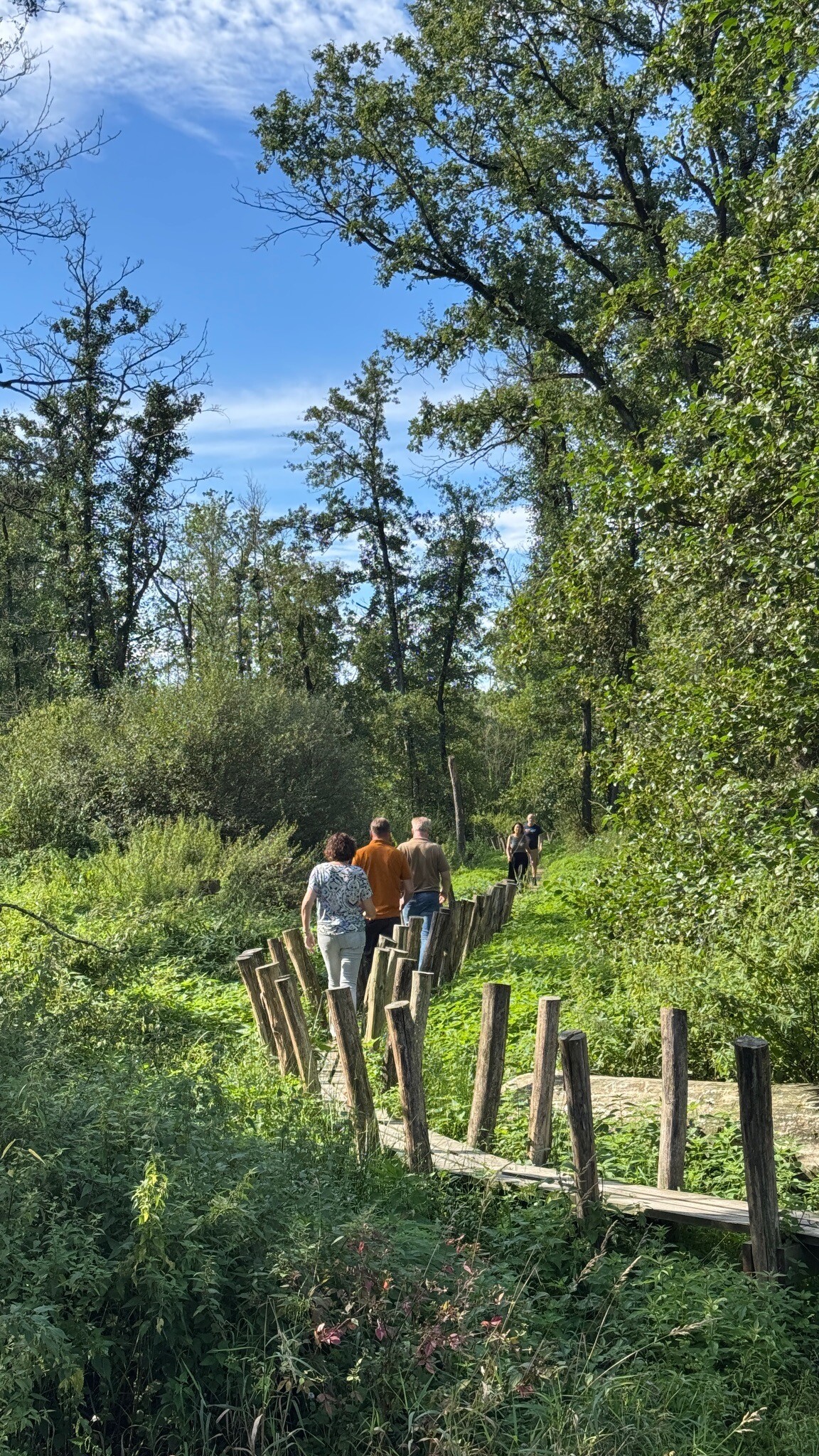
The landscape reflects its history of systematic land reclamation, where straight drainage ditches run alongside the paths, and older oak-lined lanes mark the boundaries of former agricultural estates. In the wetter heath sections, wooden boardwalks help you cross the boggy ground, while the drier areas feature wide, unpaved sandy tracks that can become loose and soft. Deciduous trees cluster near the stream valleys, providing a denser canopy compared to the open, sun-exposed heathlands.
This area is ideal for those who prefer long, level walks without steep climbs. The popular trailheads near the local taverns can be busy on weekends, but the deeper forest tracks and the muddy paths along the Beerze stream are often quieter. In August, the purple heather dominates the open vistas, while the damp stream valleys remain green and shaded.
Hiking routes in Kempenland-West (27)
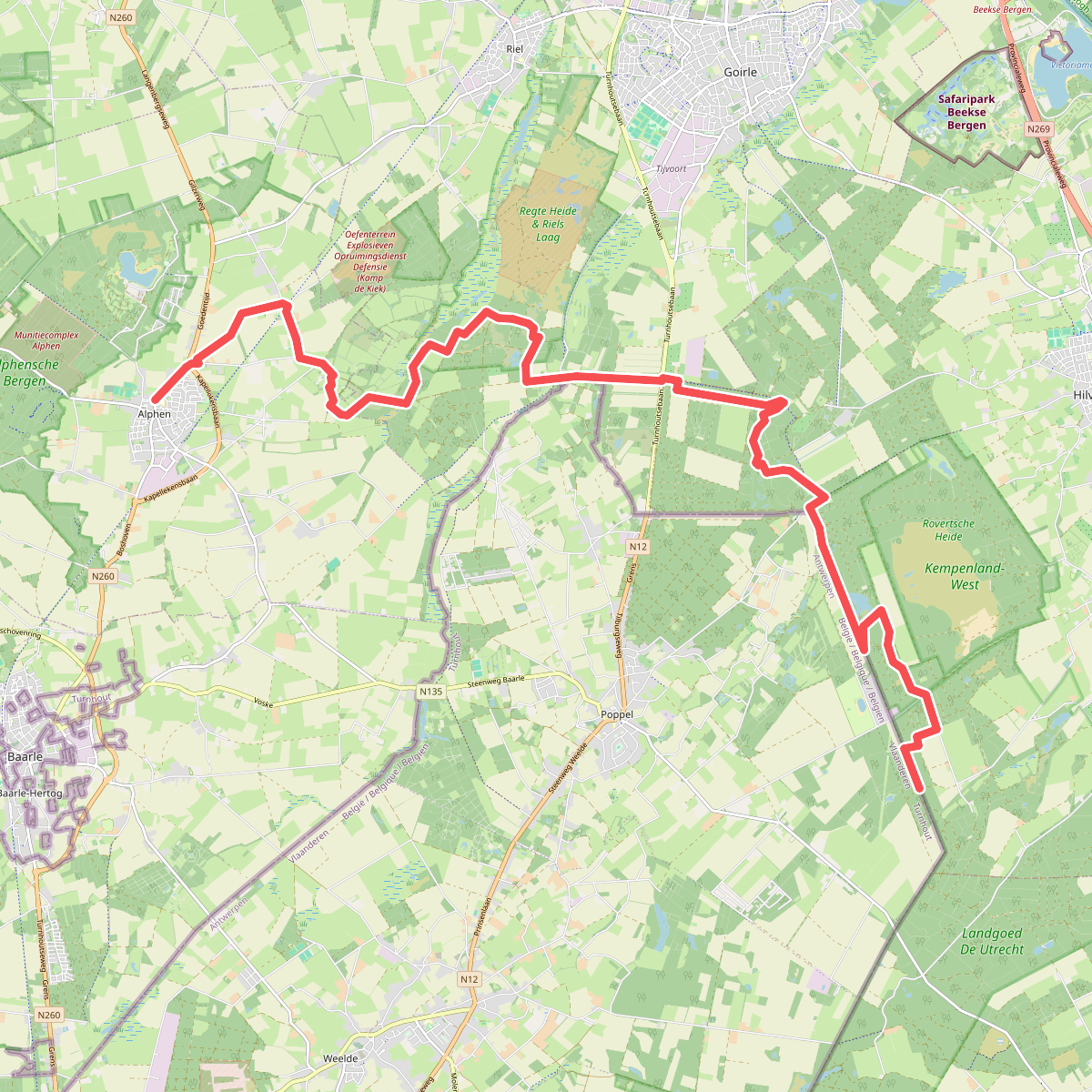
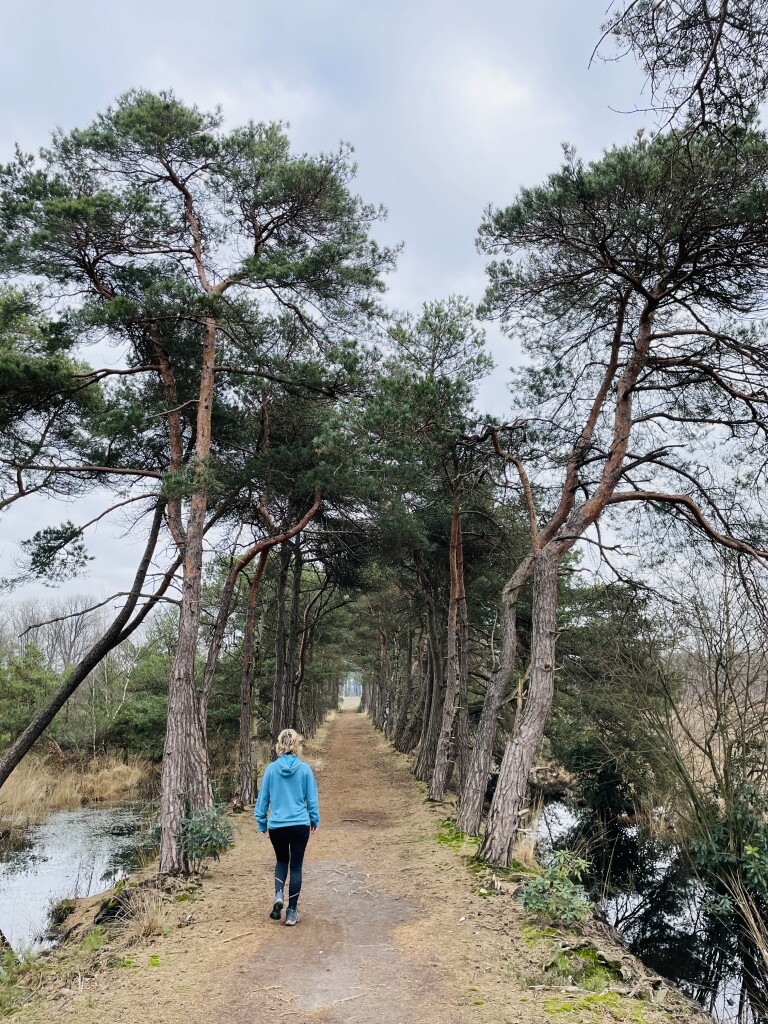
#1. Alphen - Roovertse Baan (bus Esbeek 3 km) · Grenslandpad etappe 12
Esbeek,Hilvarenbeek,Goirle,Riel,Alphen


#2. Haaren - Middelbeers · Pelgrimspad etappe 14
Oost West en Middelbeers,Oirschot,Oisterwijk,Haaren


#3. Van Reusel naar Lage Mierde - "Beleven" · NederRandpad etappe 43
Lage Mierde,Hooge Mierde,Reusel


#4. Veldhoven-dorp - Wintelre · Camino Brabant etappe 6
Wintelre,Veldhoven,Vessem,Hoogeloon,Knegsel,Duizel


#5. Lage Mierde naar Hilvarenbeek - "Heerlijckheit" · NederRandpad etappe 44
Hilvarenbeek,Esbeek,Lage Mierde
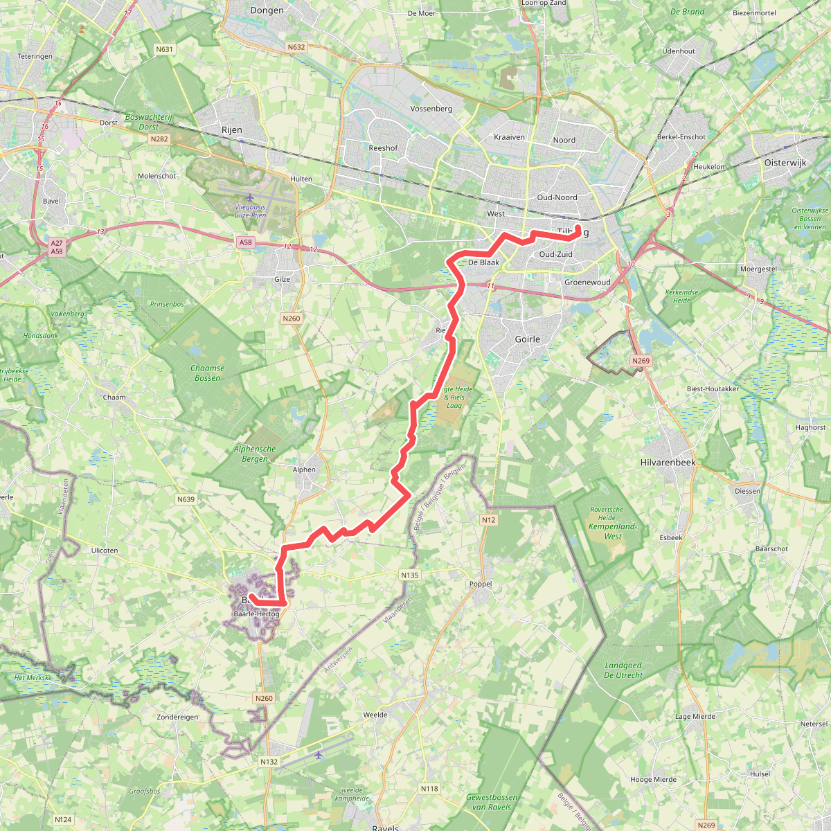
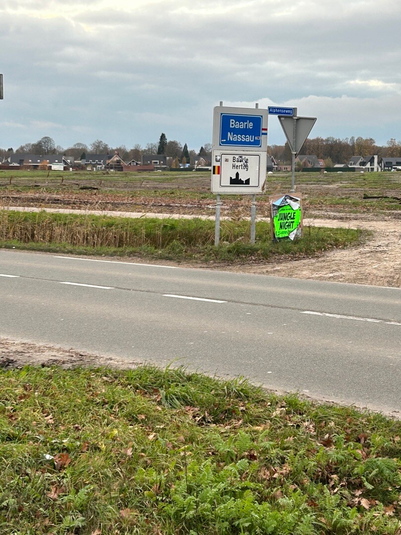
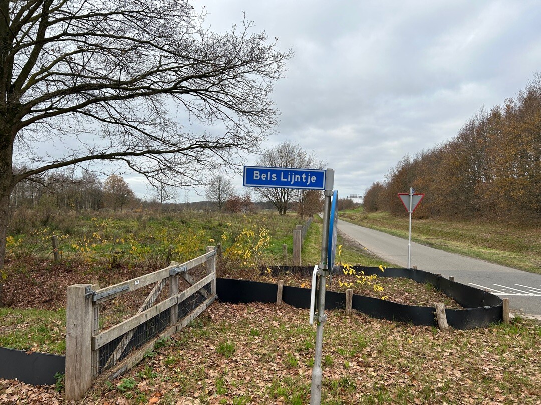

#6. Tilburg - Baarle Hertog/Nassau · Camino Brabant etappe 9
Baarle-Nassau,Alphen,Riel,Goirle,Tilburg

#7. 40 km Eindhoven
Eindhoven,Veldhoven,Wintelre,Oirschot,Best


#8. Andreas Schotel wandelroute
Esbeek


#9. Bladel - Lage Mierde · Brabants Vennenpad etappe 10
Lage Mierde,Esbeek,Netersel,Hulsel,Reusel,Bladel

#10. Brabants landschap
Biest-Houtakker,Diessen


#11. Bruine route wellseind
Lage Mierde


#12. Eindhoven - Vessem · Ons Kloosterpad etappe 10
Vessem,Veldhoven,Knegsel,Eindhoven




