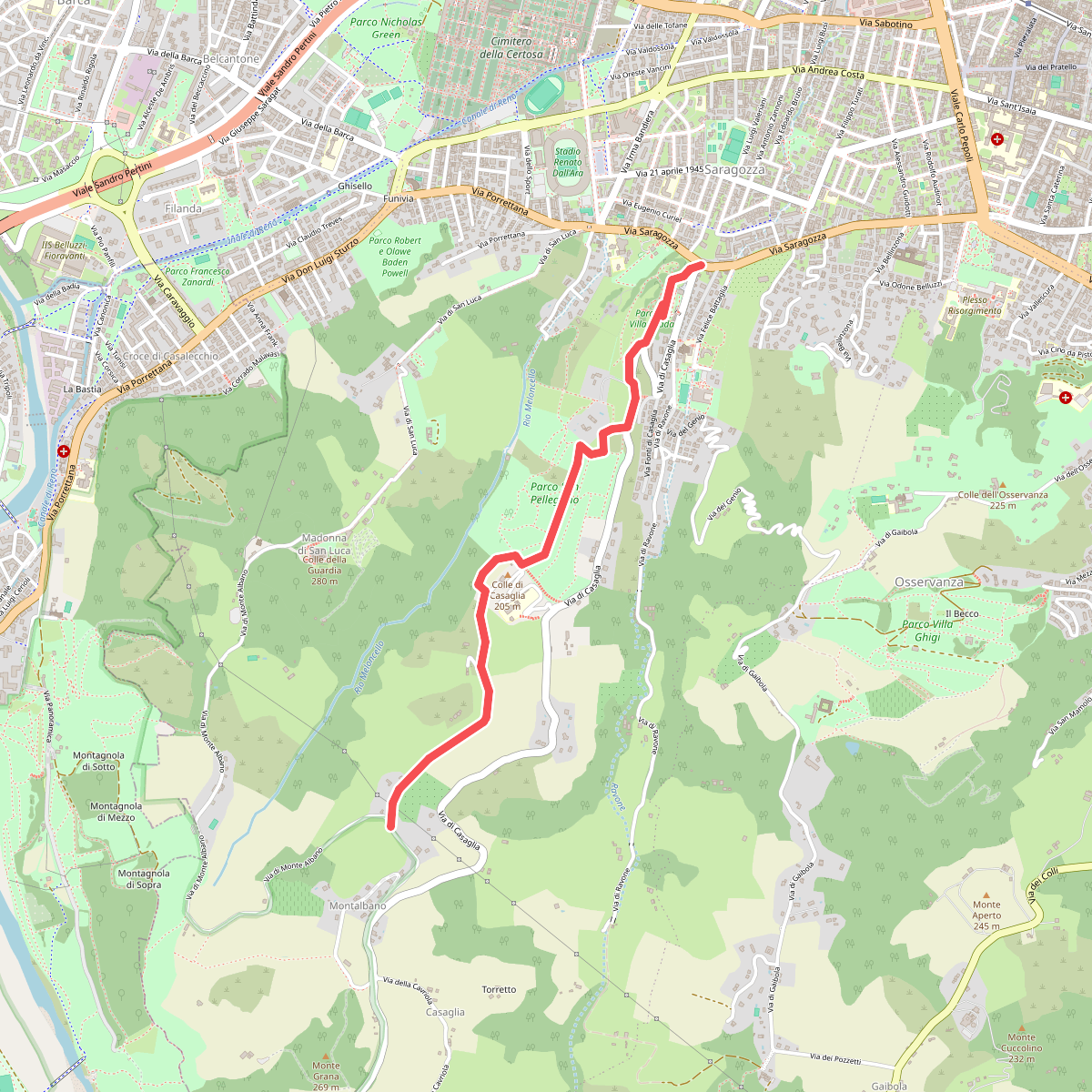
The best hiking routes in IT4050029 - SIC-ZPS - Boschi di San Luca e Destra Reno
Discover the best walks in IT4050029 - SIC-ZPS - Boschi di San Luca e Destra Reno. 17 routes on the map, with descriptions, photos and GPX.
Managed by Provincia di Bologna
About IT4050029 - SIC-ZPS - Boschi di San Luca e Destra Reno
IT4050029 - SIC-ZPS - Boschi di San Luca e Destra Reno covers the steep, wooded hillsides rising directly southwest of Bologna, transitioning quickly from the urban fringe into dense sub-Mediterranean forest. Unlike the flat agricultural plains nearby, this area is defined by sharp clay ridges, sandstone outcrops, and deep, shaded ravines carved by the Reno river tributaries. The landscape is heavily shaped by these contrasting geologies, where dry, sun-exposed slopes dominated by downy oak stand directly across from cool, humid valley bottoms filled with hop-hornbeam and chestnut trees.
Read more
About IT4050029 - SIC-ZPS - Boschi di San Luca e Destra Reno
IT4050029 - SIC-ZPS - Boschi di San Luca e Destra Reno covers the steep, wooded hillsides rising directly southwest of Bologna, transitioning quickly from the urban fringe into dense sub-Mediterranean forest. Unlike the flat agricultural plains nearby, this area is defined by sharp clay ridges, sandstone outcrops, and deep, shaded ravines carved by the Reno river tributaries. The landscape is heavily shaped by these contrasting geologies, where dry, sun-exposed slopes dominated by downy oak stand directly across from cool, humid valley bottoms filled with hop-hornbeam and chestnut trees.
Read moreIT4050029 - SIC-ZPS - Boschi di San Luca e Destra Reno covers the steep, wooded hillsides rising directly southwest of Bologna, transitioning quickly from the urban fringe into dense sub-Mediterranean forest. Unlike the flat agricultural plains nearby, this area is defined by sharp clay ridges, sandstone outcrops, and deep, shaded ravines carved by the Reno river tributaries. The landscape is heavily shaped by these contrasting geologies, where dry, sun-exposed slopes dominated by downy oak stand directly across from cool, humid valley bottoms filled with hop-hornbeam and chestnut trees.
Underfoot, the terrain demands attention. Walkers will find a mix of clay paths that become slick and heavy after wet weather, rugged sandstone steps, and gravel tracks that follow the natural contours of the ridges. The famous portico of San Luca climbs the lower slopes, but once you step off this paved corridor, the trails become traditional forest paths with significant elevation changes. It is a working landscape of managed coppice woods and old chestnut groves, where the canopy closes in tightly, limiting long views but offering a close-up look at the rich forest floor.
This reserve is not a wilderness of high mountain peaks or open alpine meadows, but rather a steep, forested transition zone. The proximity to the city means the main paths near the sanctuary are frequently busy with walkers and runners, though the deeper forest trails along the Ravone stream and the Reno banks offer a much quieter, more enclosed woodland experience. In May, the understory is particularly active with emerging wildflowers, making it a good time to observe the botanical transition from the valley floor to the higher ridges.
Hiking routes in IT4050029 - SIC-ZPS - Boschi di San Luca e Destra Reno (17)
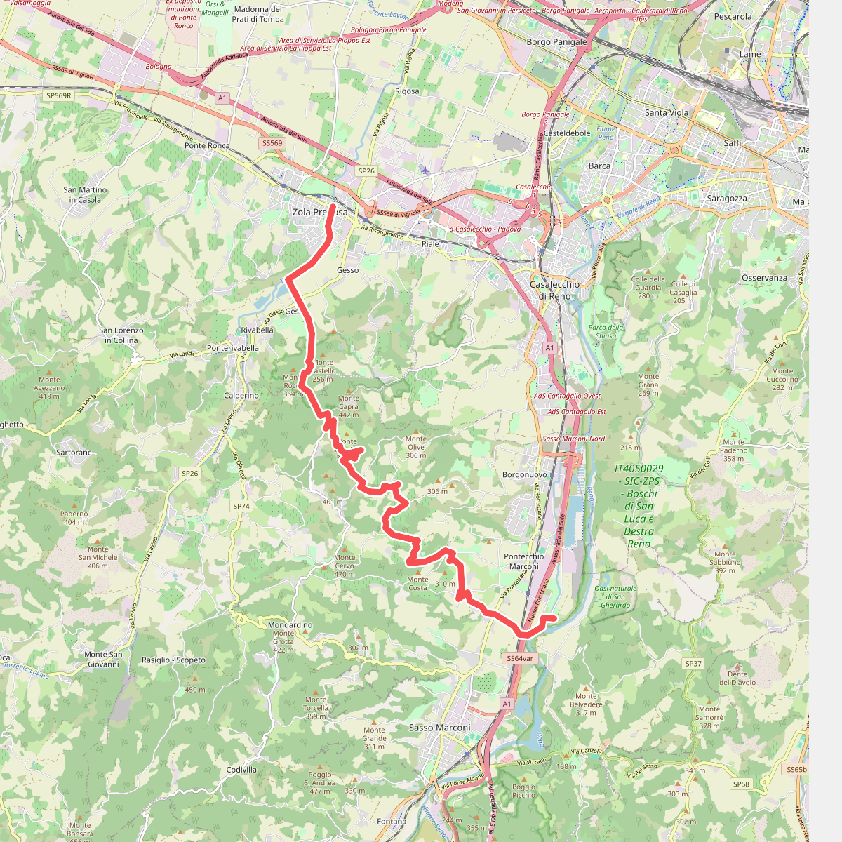
#1. Percorso CAI 102
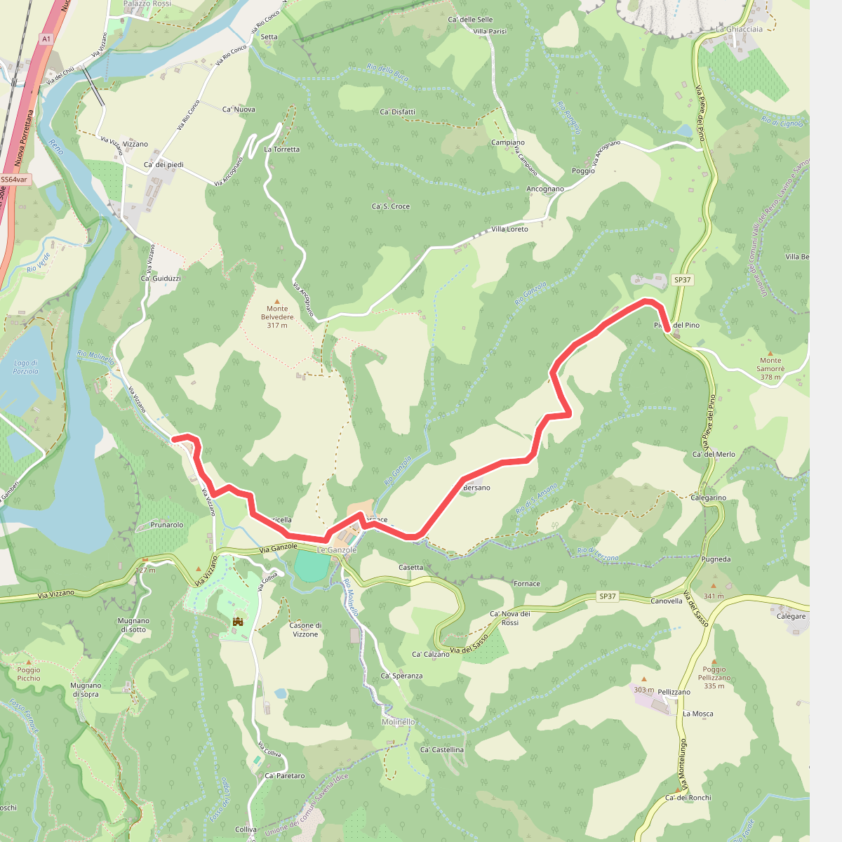
#2. Percorso CAI 104
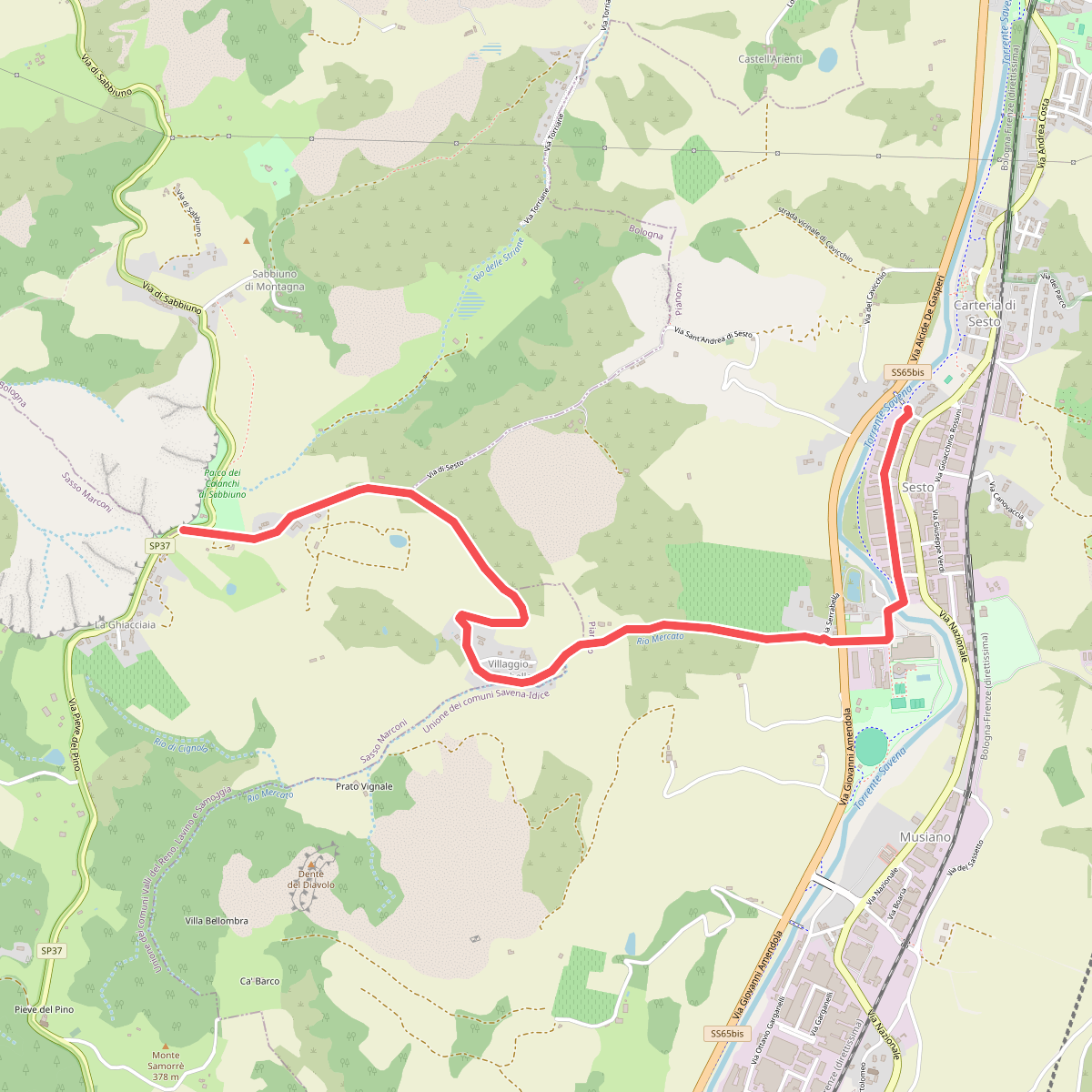
#3. Percorso CAI 108
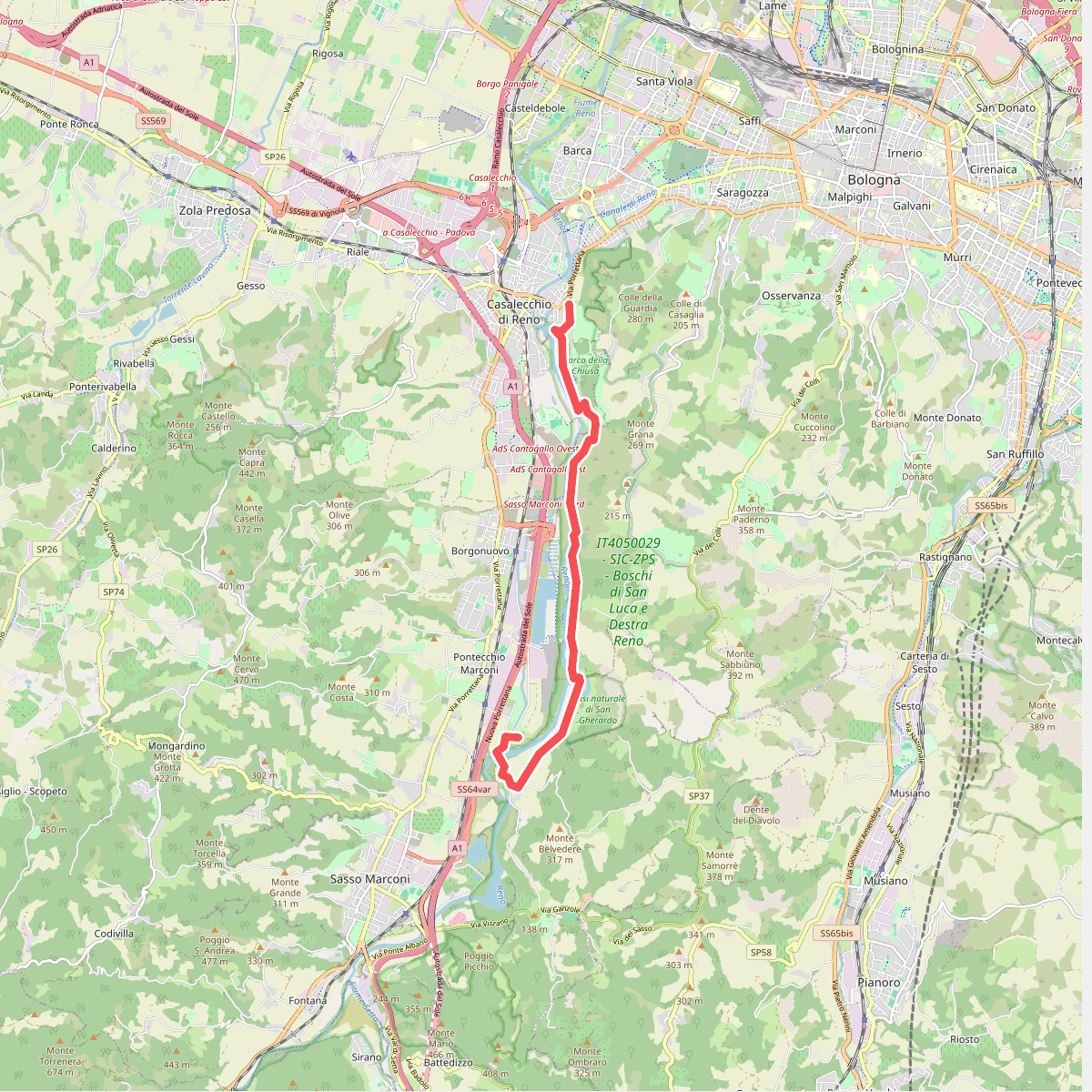
#4. Percorso CAI 112
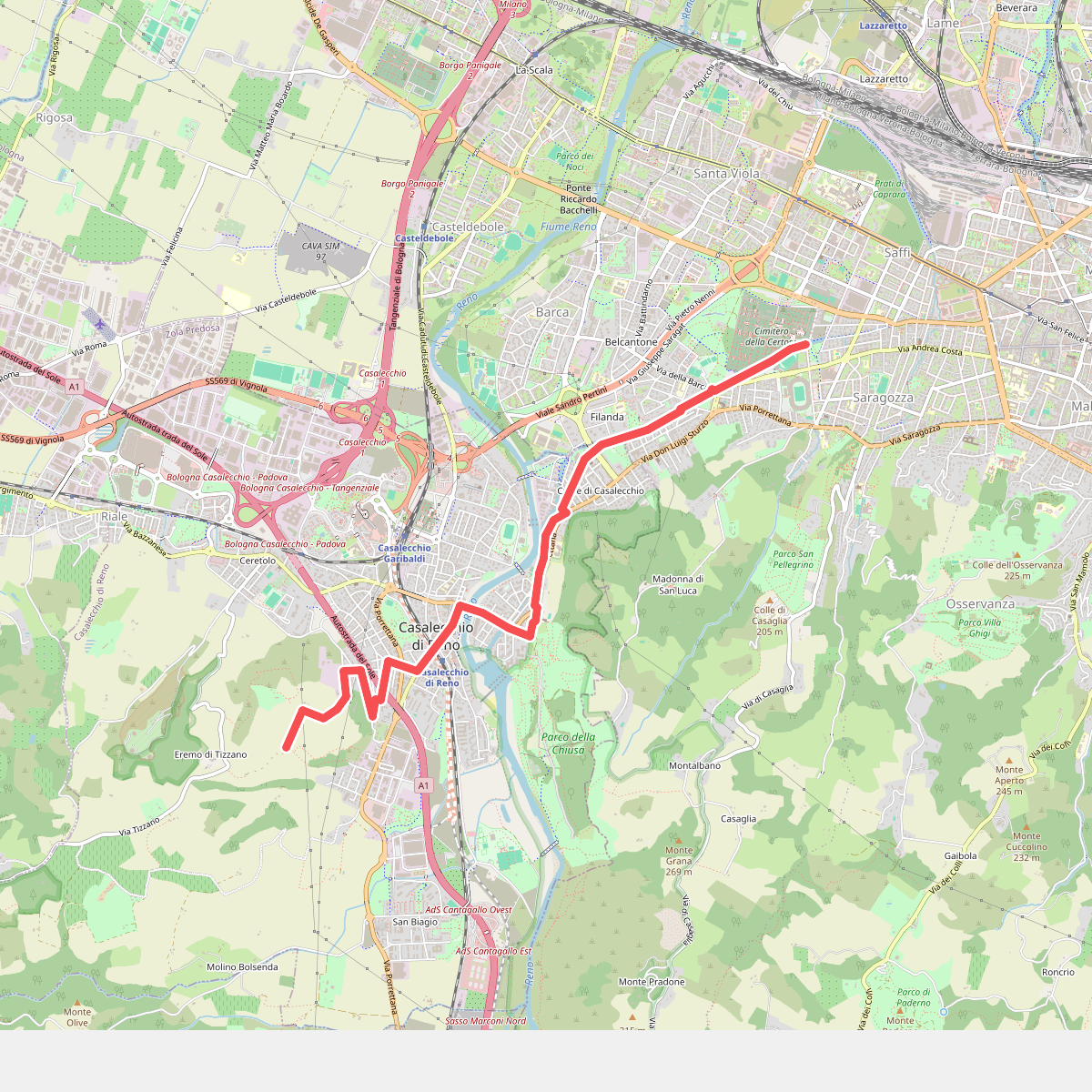
#5. Percorso CAI 114
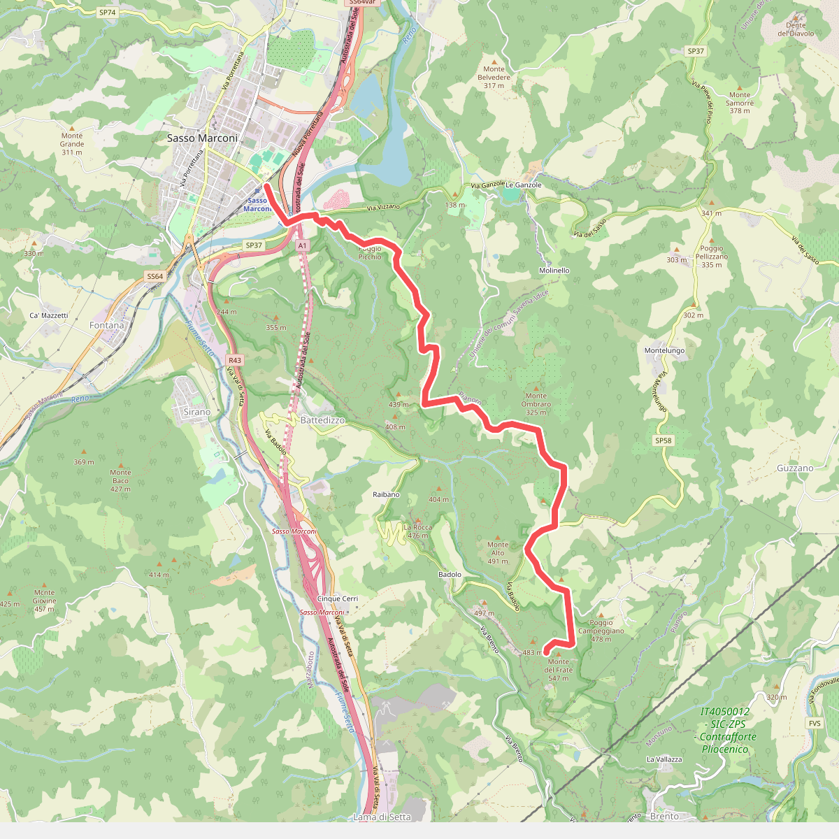
#6. Percorso CAI 122
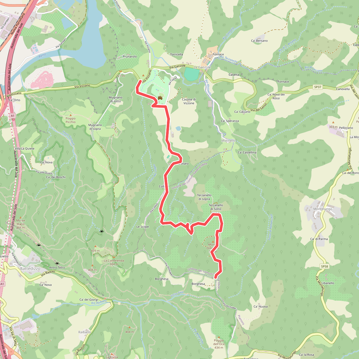
#7. Percorso CAI 122B
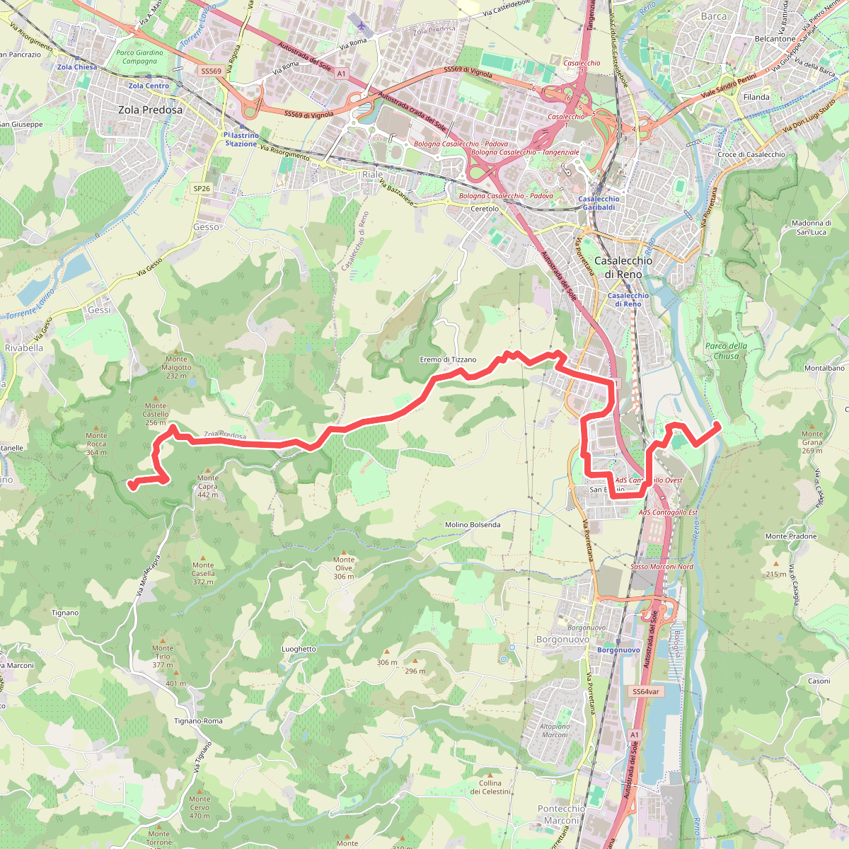
#8. Percorso CAI 126
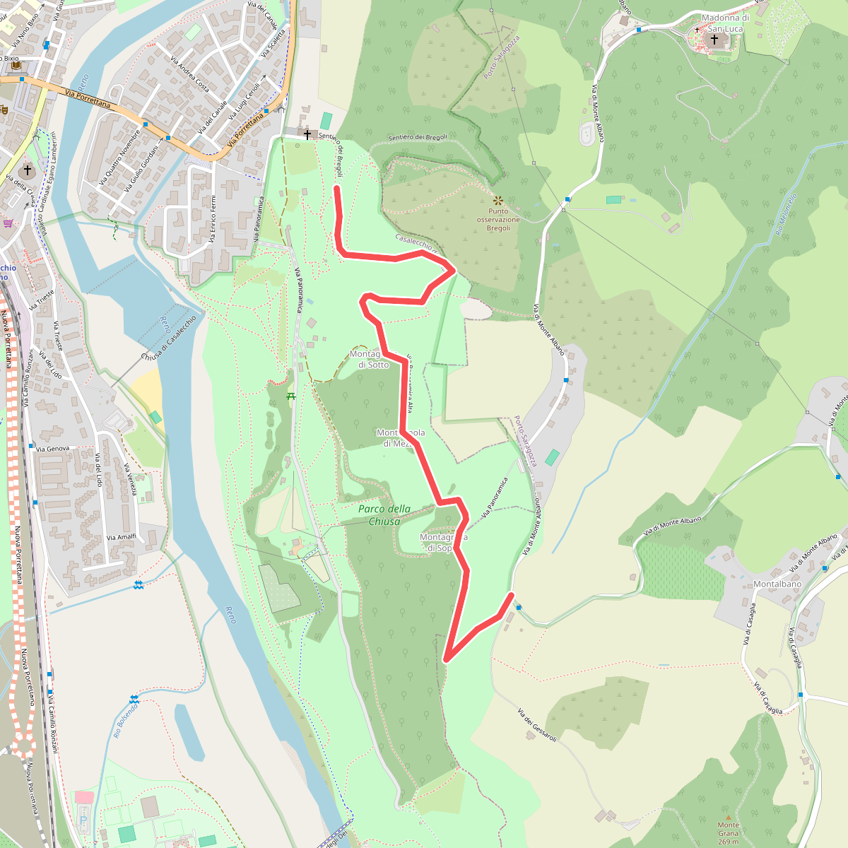
#9. Percorso CAI 900A
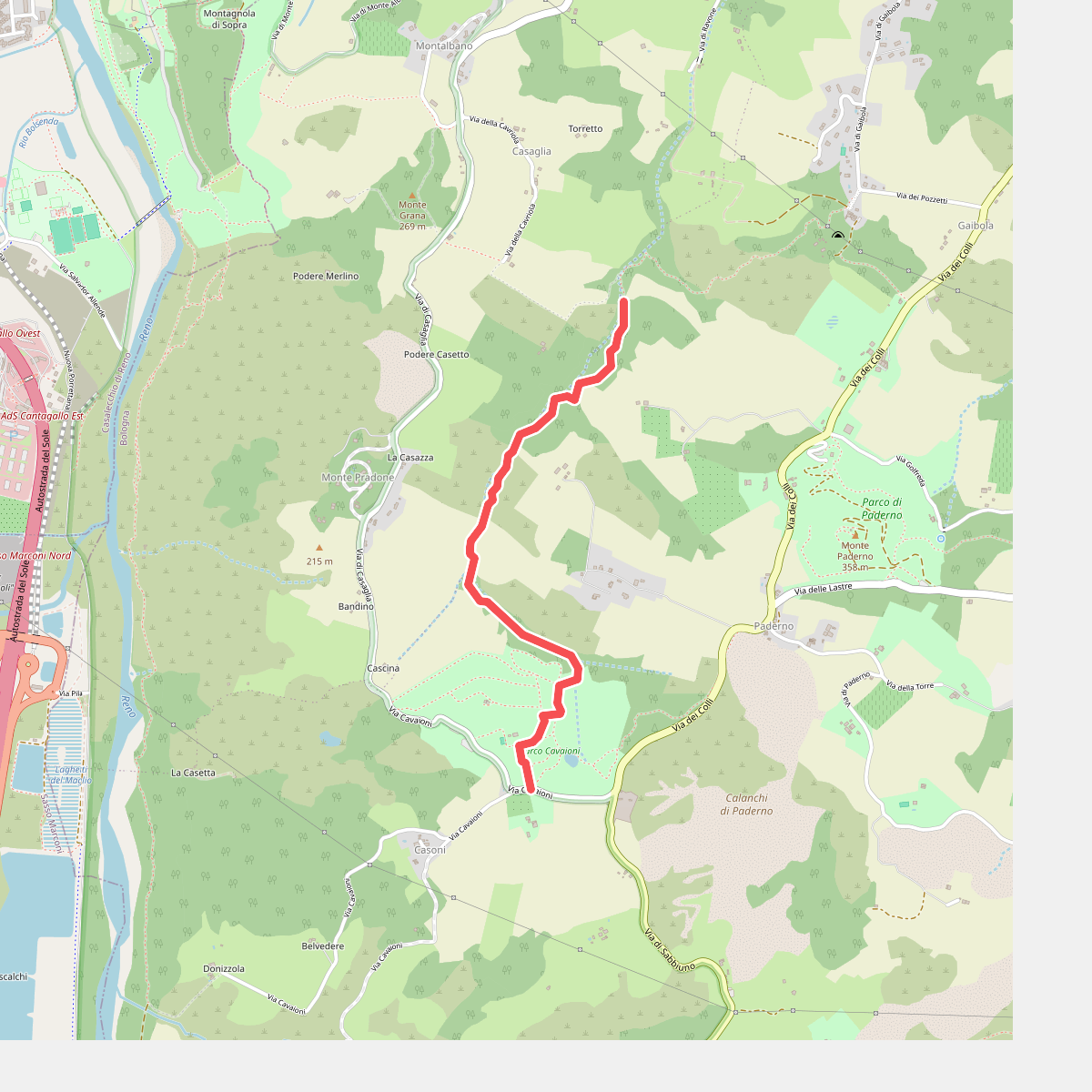
#10. Percorso CAI 906
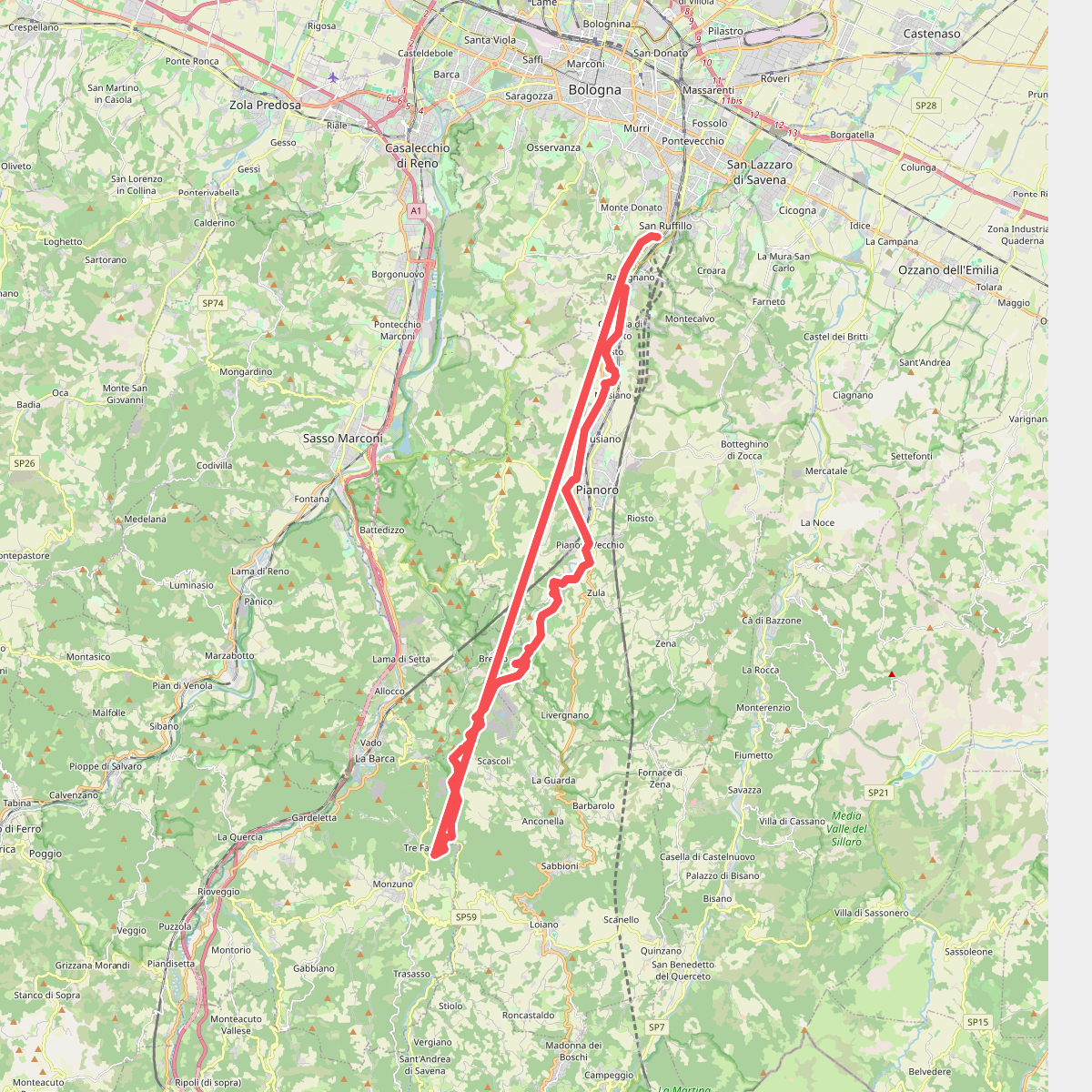
#11. Percorso CAI 913