The best hiking routes in IT4050023 - SIC-ZPS - Biotopi e Ripristini ambientali di Budrio e Minerbio
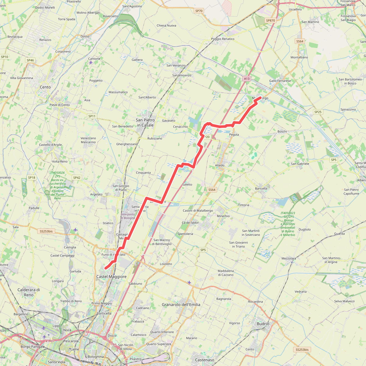
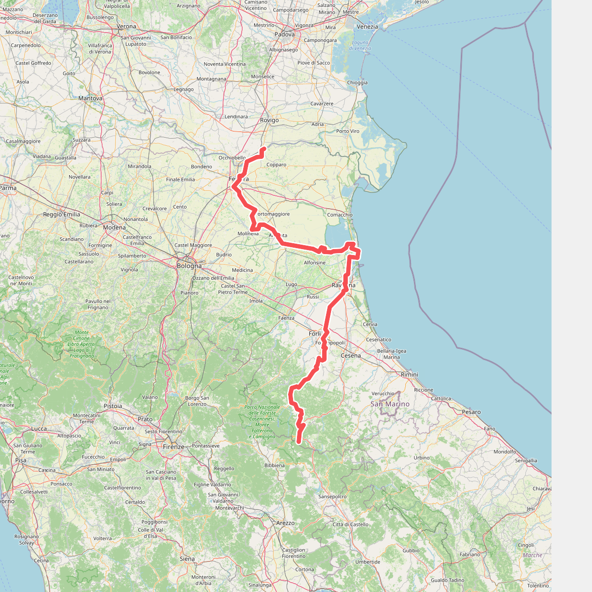
Discover the best walks in IT4050023 - SIC-ZPS - Biotopi e Ripristini ambientali di Budrio e Minerbio. 2 routes on the map, with descriptions, photos and GPX.
Managed by Provincia di Bologna
About IT4050023 - SIC-ZPS - Biotopi e Ripristini ambientali di Budrio e Minerbio
IT4050023 - SIC-ZPS - Biotopi e Ripristini ambientali di Budrio e Minerbio is not a wild, ancient forest or a dramatic mountain landscape. Instead, this flat lowland reserve in the Po Valley consists of reclaimed agricultural fields that have been deliberately returned to nature. Walking here, you will follow flat, grassy farm tracks and dirt paths running alongside artificial wetlands, reedbeds, and young hedgerows planted to recreate the original plains of Emilia-Romagna.
Read more
About IT4050023 - SIC-ZPS - Biotopi e Ripristini ambientali di Budrio e Minerbio
IT4050023 - SIC-ZPS - Biotopi e Ripristini ambientali di Budrio e Minerbio is not a wild, ancient forest or a dramatic mountain landscape. Instead, this flat lowland reserve in the Po Valley consists of reclaimed agricultural fields that have been deliberately returned to nature. Walking here, you will follow flat, grassy farm tracks and dirt paths running alongside artificial wetlands, reedbeds, and young hedgerows planted to recreate the original plains of Emilia-Romagna.
Read moreIT4050023 - SIC-ZPS - Biotopi e Ripristini ambientali di Budrio e Minerbio is not a wild, ancient forest or a dramatic mountain landscape. Instead, this flat lowland reserve in the Po Valley consists of reclaimed agricultural fields that have been deliberately returned to nature. Walking here, you will follow flat, grassy farm tracks and dirt paths running alongside artificial wetlands, reedbeds, and young hedgerows planted to recreate the original plains of Emilia-Romagna.
The terrain is defined by its network of shallow ponds, drainage canals, and marshy basins designed for water purification and wildlife habitat. You will notice how the straight lines of the old agricultural ditches contrast with the newer, irregular shapes of the flooded basins. The underfoot conditions are primarily packed clay and grass, which can become sticky and heavy after rain, requiring sturdy footwear rather than light trainers.
In May, the dense reedbeds and damp meadows are filled with the calls of nesting waterbirds, making this a functional ecological sanctuary rather than a manicured park. There are no boardwalks or visitor centers, just simple dirt tracks that offer a direct look at how intensive farmland is being slowly converted back into a functioning wetland ecosystem.