

The best hiking routes in IT4050013 - SIC-ZPS - Monte Vigese
Discover the best walks in IT4050013 - SIC-ZPS - Monte Vigese. 11 routes on the map, with descriptions, photos and GPX.
Managed by Provincia di Bologna
About IT4050013 - SIC-ZPS - Monte Vigese
IT4050013 - SIC-ZPS - Monte Vigese is dominated by a massive, sheer sandstone cliff that rises abruptly out of the surrounding clay hills of the Bolognese Apennines. Unlike the softer, rolling clay ridges nearby, this reserve is defined by rugged, vertical rock faces and steep, forested slopes. The contrast is sharp, shifting quickly from open, scrubby pastures at the base to dense woodlands of oak and hornbeam that cling to the rocky terrain.
Read more
About IT4050013 - SIC-ZPS - Monte Vigese
IT4050013 - SIC-ZPS - Monte Vigese is dominated by a massive, sheer sandstone cliff that rises abruptly out of the surrounding clay hills of the Bolognese Apennines. Unlike the softer, rolling clay ridges nearby, this reserve is defined by rugged, vertical rock faces and steep, forested slopes. The contrast is sharp, shifting quickly from open, scrubby pastures at the base to dense woodlands of oak and hornbeam that cling to the rocky terrain.
Read moreIT4050013 - SIC-ZPS - Monte Vigese is dominated by a massive, sheer sandstone cliff that rises abruptly out of the surrounding clay hills of the Bolognese Apennines. Unlike the softer, rolling clay ridges nearby, this reserve is defined by rugged, vertical rock faces and steep, forested slopes. The contrast is sharp, shifting quickly from open, scrubby pastures at the base to dense woodlands of oak and hornbeam that cling to the rocky terrain.
Underfoot, walkers will find a mix of steep, stony paths and dirt tracks that can be uneven due to loose sandstone debris. The main route climbs toward the summit plateau of Monte Vigese, where the soil is thin and supports hardy, dry-loving vegetation. The ascent requires steady footing on rocky steps, but it avoids the deep mud often found in the lower clay valleys during wetter months.
This area is ideal for those who prefer a short, steep climb with clear geological features over long, flat forest walks. The vegetation changes noticeably with elevation, transitioning from chestnut orchards on the lower slopes to stunted oak woods near the summit. It is a quiet, local destination where the focus is on the dramatic rock formations rather than expansive meadows or deep river valleys.
Hiking routes in IT4050013 - SIC-ZPS - Monte Vigese (11)

#1. Cammino Tesori del Reno - Tappa 2

#2. Percorso CAI 039

#3. Percorso CAI 039A

#4. Percorso CAI 039C

#5. Percorso CAI 100

#6. Percorso CAI 178
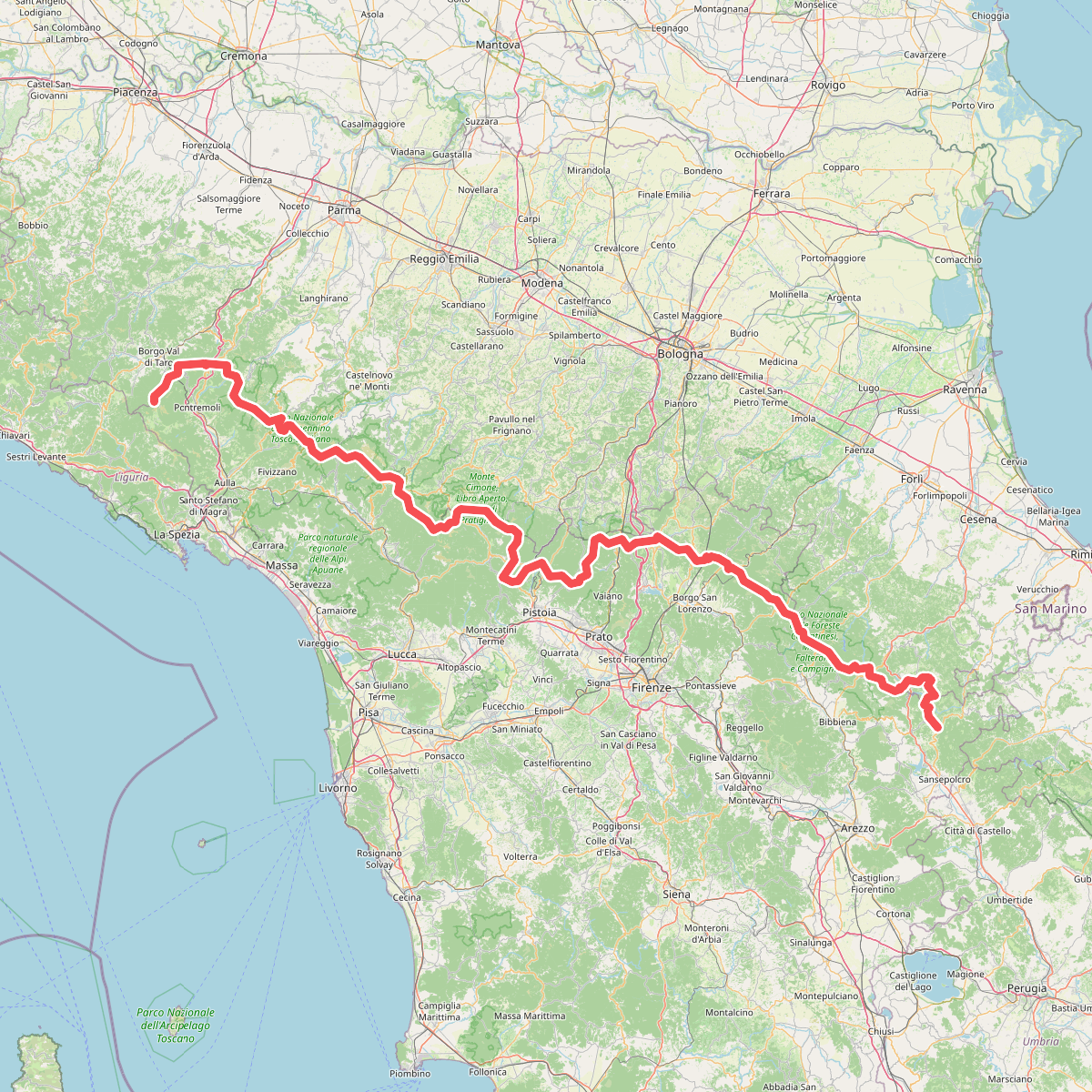
#7. Sentiero di spartiacque appenninico

#8. Via della Lana e della Seta: Tappa 3

#9. Via Francesca della Sambuca BO-PT: Tappa 2

#10. Via Francesca della Sambuca BO-PT: Variante Montovolo





