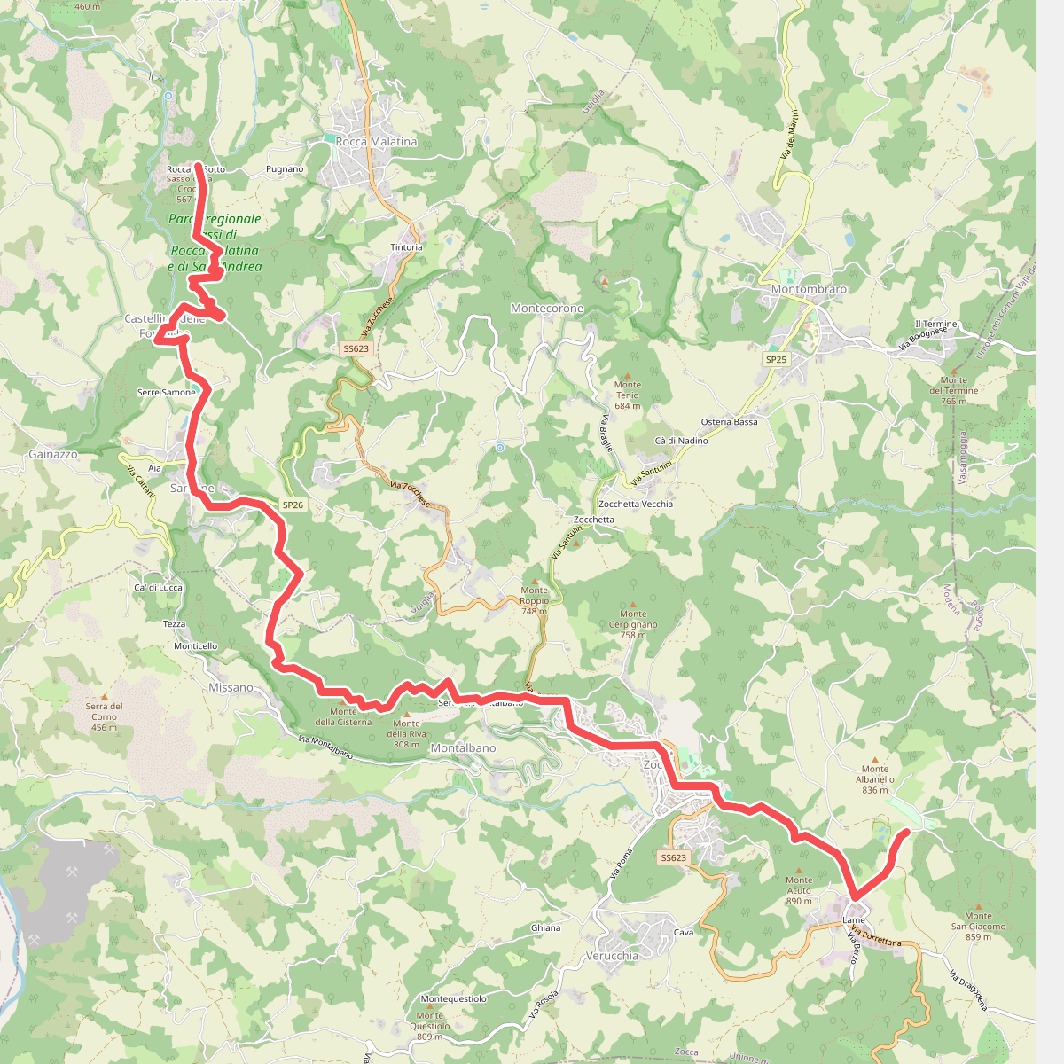
The best hiking routes in IT4040003 - SIC-ZPS - Sassi di Roccamalatina e di Sant’Andrea
Discover the best walks in IT4040003 - SIC-ZPS - Sassi di Roccamalatina e di Sant’Andrea. 10 routes on the map, with descriptions, photos and GPX.
Managed by Provincia di Modena; Ente di gestione per i Parchi e la Biodiversità - Emilia centrale
About IT4040003 - SIC-ZPS - Sassi di Roccamalatina e di Sant’Andrea
IT4040003 - SIC-ZPS - Sassi di Roccamalatina e di Sant’Andrea is defined by its dramatic sandstone spires that rise abruptly out of the surrounding chestnut woods and agricultural clearings. Unlike the softer clay hills nearby, this reserve features steep, vertical rock faces of Oligocene sandstone that have resisted erosion. Walking here means navigating a mix of shaded woodland paths, steep dirt tracks, and occasional exposed ledges where the bedrock is close to the surface.
Read more
About IT4040003 - SIC-ZPS - Sassi di Roccamalatina e di Sant’Andrea
IT4040003 - SIC-ZPS - Sassi di Roccamalatina e di Sant’Andrea is defined by its dramatic sandstone spires that rise abruptly out of the surrounding chestnut woods and agricultural clearings. Unlike the softer clay hills nearby, this reserve features steep, vertical rock faces of Oligocene sandstone that have resisted erosion. Walking here means navigating a mix of shaded woodland paths, steep dirt tracks, and occasional exposed ledges where the bedrock is close to the surface.
Read moreIT4040003 - SIC-ZPS - Sassi di Roccamalatina e di Sant’Andrea is defined by its dramatic sandstone spires that rise abruptly out of the surrounding chestnut woods and agricultural clearings. Unlike the softer clay hills nearby, this reserve features steep, vertical rock faces of Oligocene sandstone that have resisted erosion. Walking here means navigating a mix of shaded woodland paths, steep dirt tracks, and occasional exposed ledges where the bedrock is close to the surface.
The forest floor changes quickly from deep leaf litter under the chestnut and oak canopy to dry, sandy soil near the base of the cliffs. You will notice how the vegetation shifts on these rock faces, with specialized cliff-dwelling plants clinging to the crevices while damp, mossy ravines cut through the lower slopes. The trails are mostly earthen and can be uneven, with exposed tree roots and sandstone steps forming the natural staircase up toward the higher viewpoints.
This is a compact, rugged landscape rather than a high-mountain environment. While you will not find vast alpine meadows or deep wilderness, you will encounter a dense network of signposted paths connecting medieval hamlets, old chestnut drying houses, and the sheer rock towers. The prominent spires are well-known landmarks that attract visitors, meaning the central paths near the main rock formations are often busier, while the deeper forest loops offer a quieter walk through the hills.
Hiking routes in IT4040003 - SIC-ZPS - Sassi di Roccamalatina e di Sant’Andrea (10)
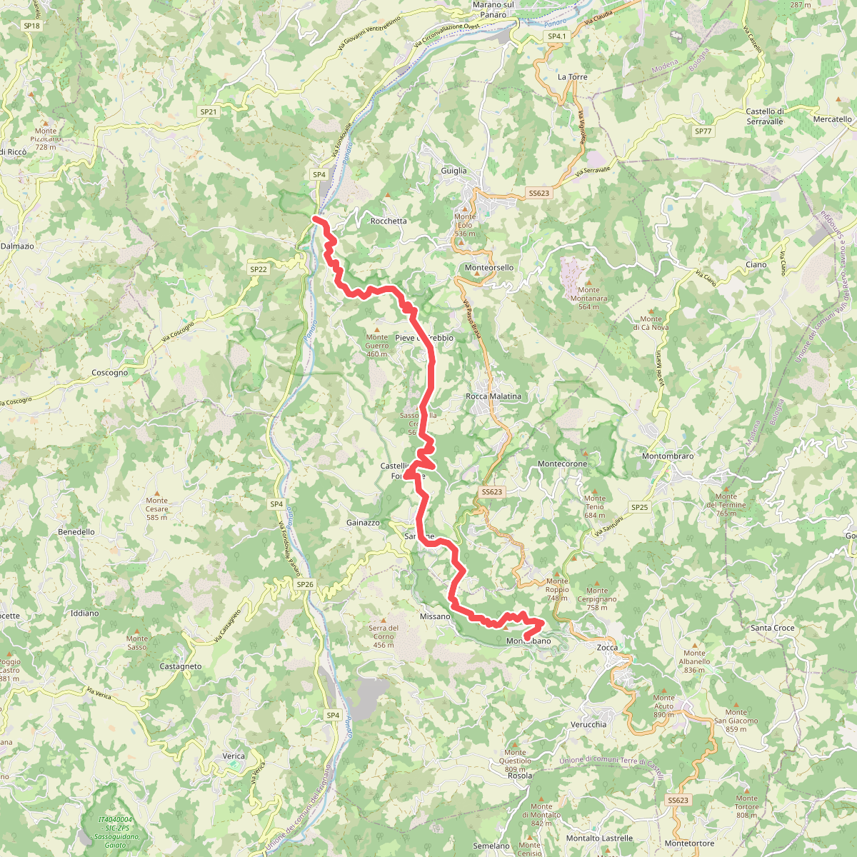
#1. CAI 400/2
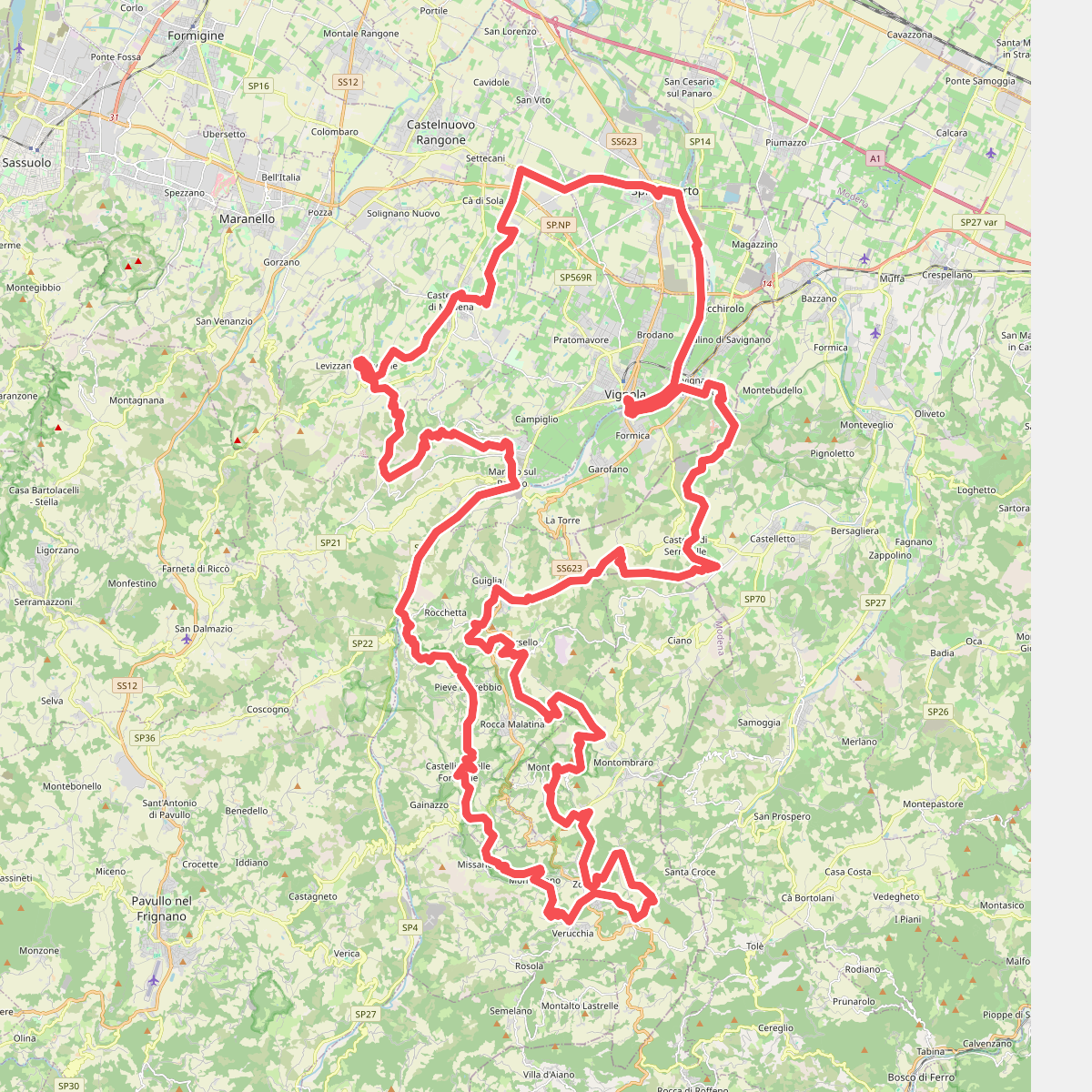
#2. Cammino dell'Unione
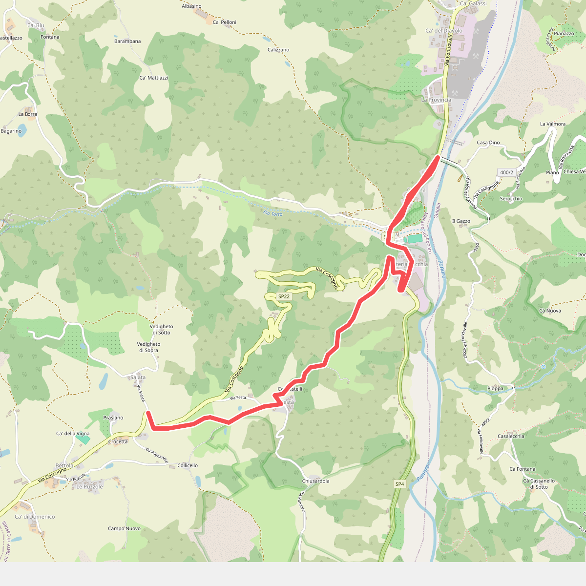
#3. Collegamento Via Romea Nonantolana (Casona - Festà)
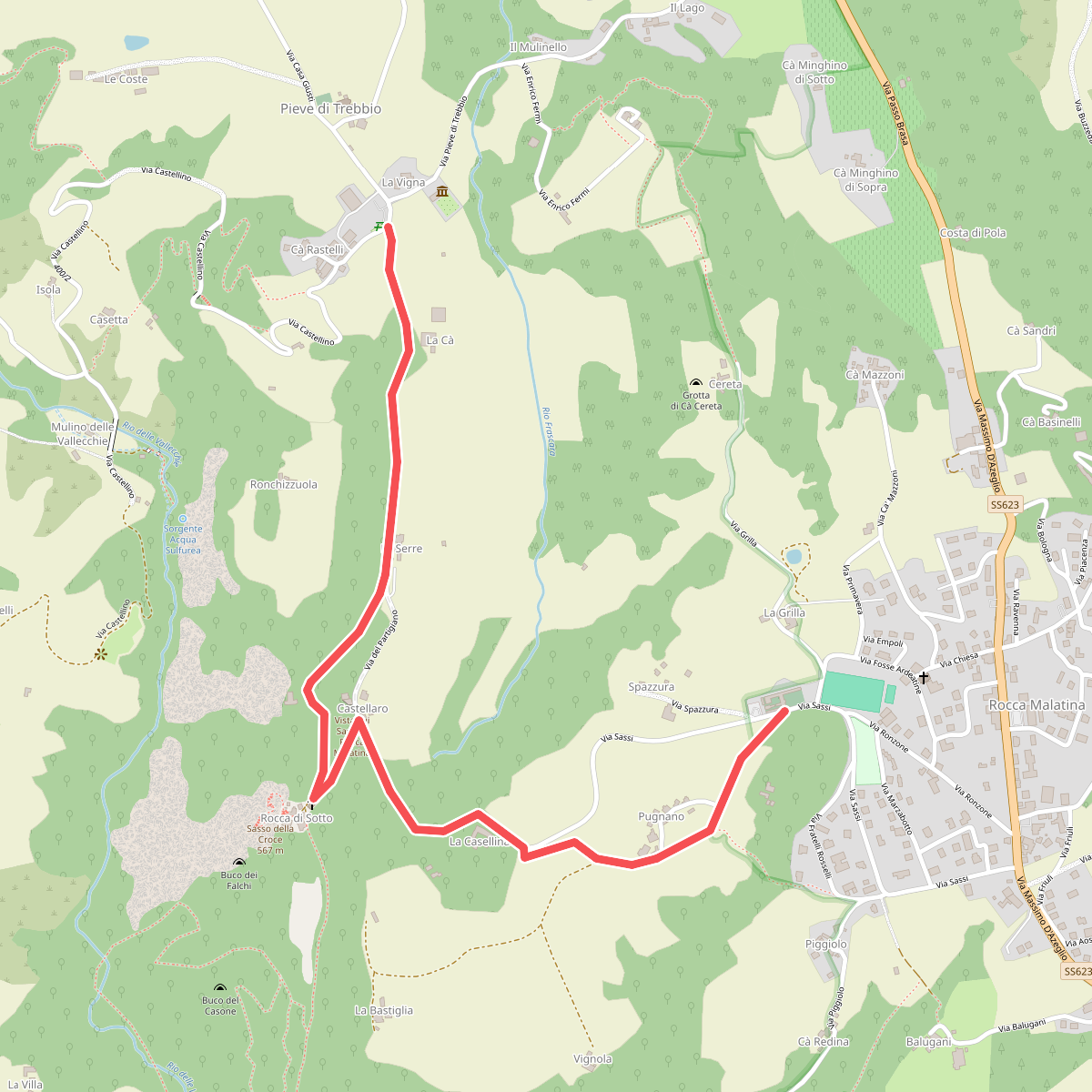
#4. GEO - Itinerario Geologico
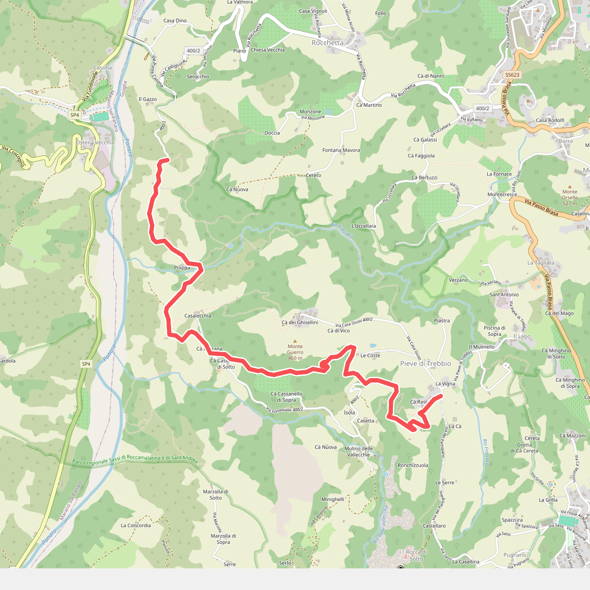
#5. SAS1A
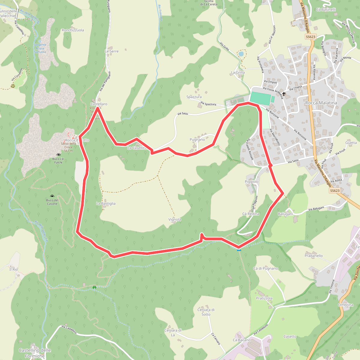
#6. SAS2
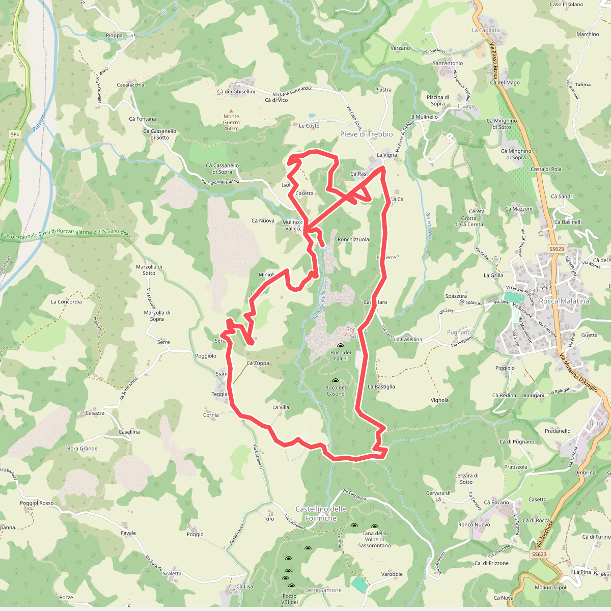
#7. SAS3
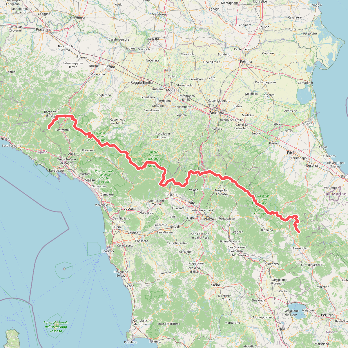
#8. Sentiero di spartiacque appenninico
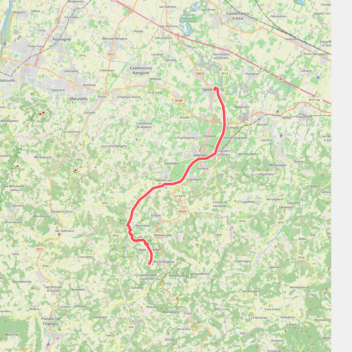
#9. Via Romea Nonantolana e Via della Sambuca: Tappa 2