The best hiking routes in IT4030015 - SIC-ZPS - Valli di Novellara
Discover the best walks in IT4030015 - SIC-ZPS - Valli di Novellara. 2 routes on the map, with descriptions, photos and GPX.
Managed by Provincia di Reggio Emilia
About IT4030015 - SIC-ZPS - Valli di Novellara
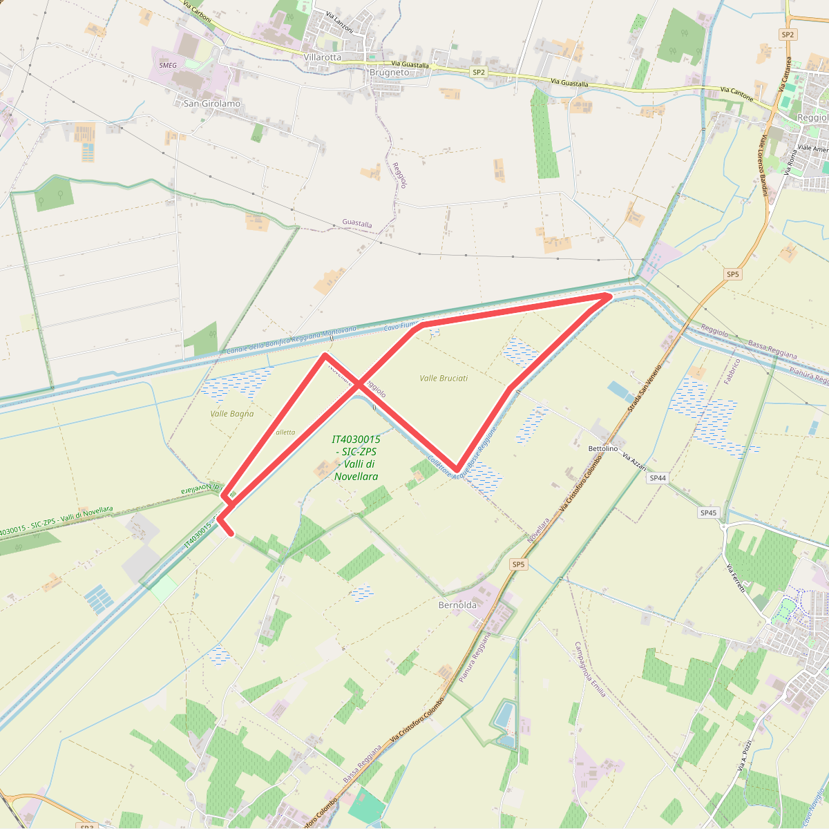
IT4030015 - SIC-ZPS - Valli di Novellara is a reclaimed lowland landscape in the Po Valley, managed by the Provincia di Reggio Emilia. Unlike the nearby Apennine foothills, this area is entirely flat, dominated by a network of drainage canals, agricultural fields, and artificial wetlands. The landscape is defined by human water management, where embankments and straight watercourses shape the horizon. It is not a wild forest or a rolling hill country, but a highly structured plain where nature has re-established itself in the wet basins.
Read more
About IT4030015 - SIC-ZPS - Valli di Novellara
IT4030015 - SIC-ZPS - Valli di Novellara is a reclaimed lowland landscape in the Po Valley, managed by the Provincia di Reggio Emilia. Unlike the nearby Apennine foothills, this area is entirely flat, dominated by a network of drainage canals, agricultural fields, and artificial wetlands. The landscape is defined by human water management, where embankments and straight watercourses shape the horizon. It is not a wild forest or a rolling hill country, but a highly structured plain where nature has re-established itself in the wet basins.
Read moreIT4030015 - SIC-ZPS - Valli di Novellara is a reclaimed lowland landscape in the Po Valley, managed by the Provincia di Reggio Emilia. Unlike the nearby Apennine foothills, this area is entirely flat, dominated by a network of drainage canals, agricultural fields, and artificial wetlands. The landscape is defined by human water management, where embankments and straight watercourses shape the horizon. It is not a wild forest or a rolling hill country, but a highly structured plain where nature has re-established itself in the wet basins.
Walking here means following dirt tracks, farm roads, and grassy canal banks. Underfoot, the ground consists mostly of heavy clay and packed earth, which can become sticky and soft after rain. There are no boardwalks or marked hiking trails with tourist infrastructure. Instead, you walk along the service tracks used for canal maintenance, offering a straightforward, open-air route through the reedbeds and cultivated fields.
In May and June, the vegetation along the banks is at its most active, with reeds and aquatic plants filling the wet basins. This is a working agricultural and water-management zone, so you are likely to see water pumps, sluice gates, and farm machinery rather than pristine wilderness. It is a quiet, functional landscape suited for those who appreciate birdlife in artificial wetlands and the quiet geometry of the Italian lowlands.