The best hiking routes in Europaschutzgebiet Ifen
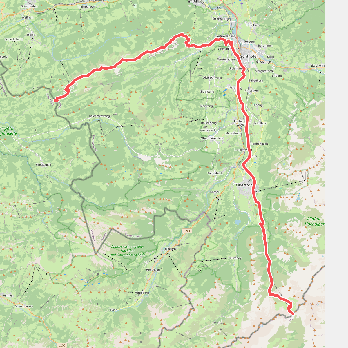
Discover the best walks in Europaschutzgebiet Ifen. 2 routes on the map, with descriptions, photos and GPX.
About Europaschutzgebiet Ifen
Europaschutzgebiet Ifen is defined by its striking limestone geology, most notably the vast, barren karst plateau of the Gottesackerplateau. Unlike the softer, grassy slopes found in other parts of the Vorarlberg region, this protected area presents a stark, grey landscape of deeply fissured water-worn rock, scree fields, and sheer cliffs. Walkers should expect an exposed environment where vegetation is sparse, limited to hardy alpine wildflowers and stunted mountain pines clinging to the crevices.
Read more
About Europaschutzgebiet Ifen
Europaschutzgebiet Ifen is defined by its striking limestone geology, most notably the vast, barren karst plateau of the Gottesackerplateau. Unlike the softer, grassy slopes found in other parts of the Vorarlberg region, this protected area presents a stark, grey landscape of deeply fissured water-worn rock, scree fields, and sheer cliffs. Walkers should expect an exposed environment where vegetation is sparse, limited to hardy alpine wildflowers and stunted mountain pines clinging to the crevices.
Read moreEuropaschutzgebiet Ifen is defined by its striking limestone geology, most notably the vast, barren karst plateau of the Gottesackerplateau. Unlike the softer, grassy slopes found in other parts of the Vorarlberg region, this protected area presents a stark, grey landscape of deeply fissured water-worn rock, scree fields, and sheer cliffs. Walkers should expect an exposed environment where vegetation is sparse, limited to hardy alpine wildflowers and stunted mountain pines clinging to the crevices.
Underfoot, the terrain is exceptionally rugged. The paths consist primarily of sharp, uneven limestone rock and loose gravel, requiring careful footplacement. There are no gentle woodland paths or soft meadows here; instead, the routes navigate natural stone steps and wide pavement-like slabs of rock carved by water erosion. Navigating this landscape requires constant attention to the white-and-red trail markers painted directly onto the stone, as distinct trodden paths can easily disappear across the bare rock faces.
This is a high-altitude karst landscape rather than a classic green alpine pasture. It lacks surface water, as rain quickly drains into the subterranean cave systems, leaving the surface dry and bone-white. In July and August, the contrast between the pale limestone and the intense green of the alpine plants in the deeper crevices is at its most visible. While the lower access points near the cable car stations can be busy, the higher, more demanding routes across the plateau offer a quieter, more austere walking-focused experience.