

The best hiking routes in Duinen van Texel
Discover the best walks in Duinen van Texel. 59 routes on the map, with descriptions, photos and GPX.
Managed by Staatsbosbeheer
About Duinen van Texel
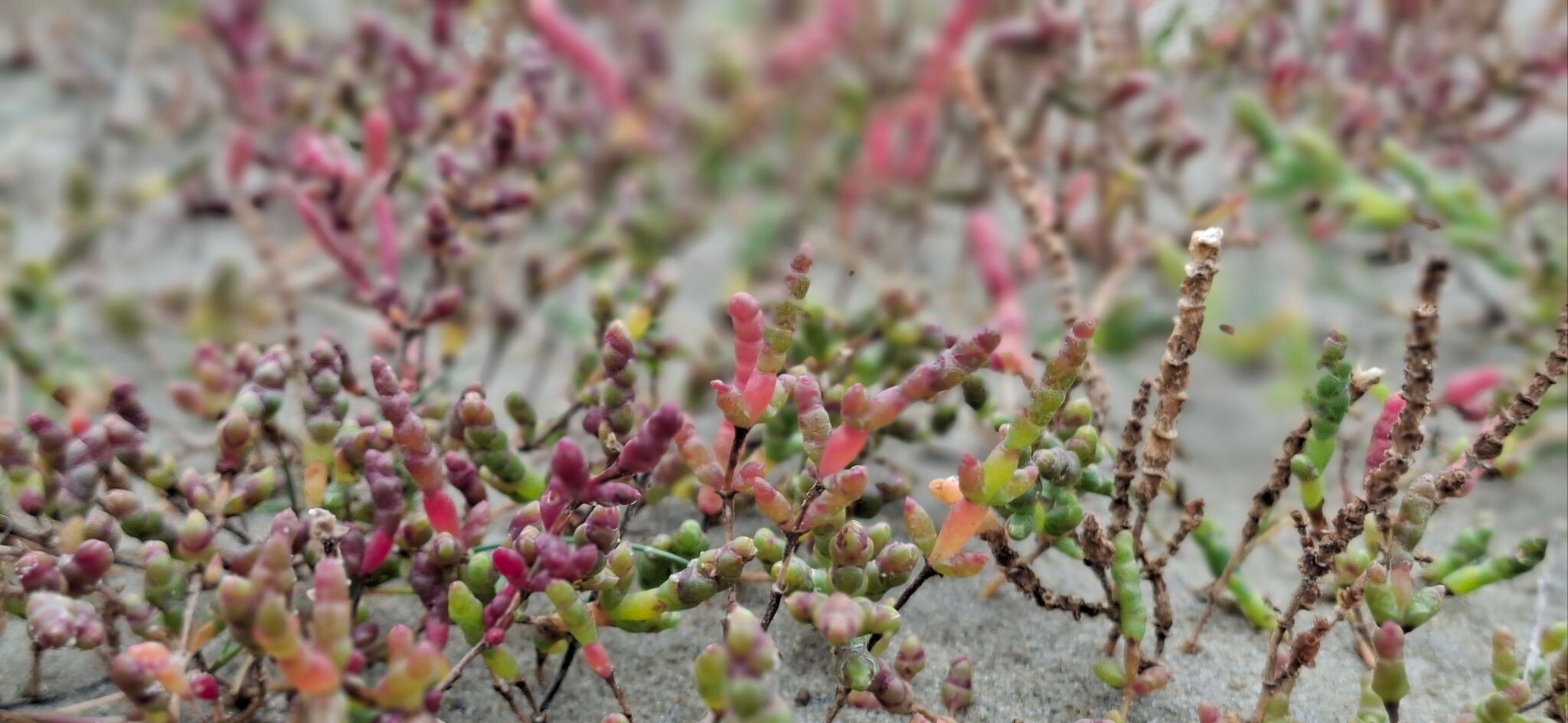
Duinen van Texel covers the western strip of the island, where the landscape transitions rapidly from the North Sea beach to dry dune ridges, wet valleys, and planted pine forests. Unlike mainland dune areas that often sit behind wide barriers, this park is directly exposed to the sea, meaning you will notice salt-tolerant shrubs like sea buckthorn dominating the seaward slopes, while heather and mosses cover the older, more sheltered inner dunes. The terrain is gently rolling rather than steep, with elevation changes limited to a few dozen meters on the highest sand hills.
Read more
About Duinen van Texel
Duinen van Texel covers the western strip of the island, where the landscape transitions rapidly from the North Sea beach to dry dune ridges, wet valleys, and planted pine forests. Unlike mainland dune areas that often sit behind wide barriers, this park is directly exposed to the sea, meaning you will notice salt-tolerant shrubs like sea buckthorn dominating the seaward slopes, while heather and mosses cover the older, more sheltered inner dunes. The terrain is gently rolling rather than steep, with elevation changes limited to a few dozen meters on the highest sand hills.
Read moreDuinen van Texel covers the western strip of the island, where the landscape transitions rapidly from the North Sea beach to dry dune ridges, wet valleys, and planted pine forests. Unlike mainland dune areas that often sit behind wide barriers, this park is directly exposed to the sea, meaning you will notice salt-tolerant shrubs like sea buckthorn dominating the seaward slopes, while heather and mosses cover the older, more sheltered inner dunes. The terrain is gently rolling rather than steep, with elevation changes limited to a few dozen meters on the highest sand hills.
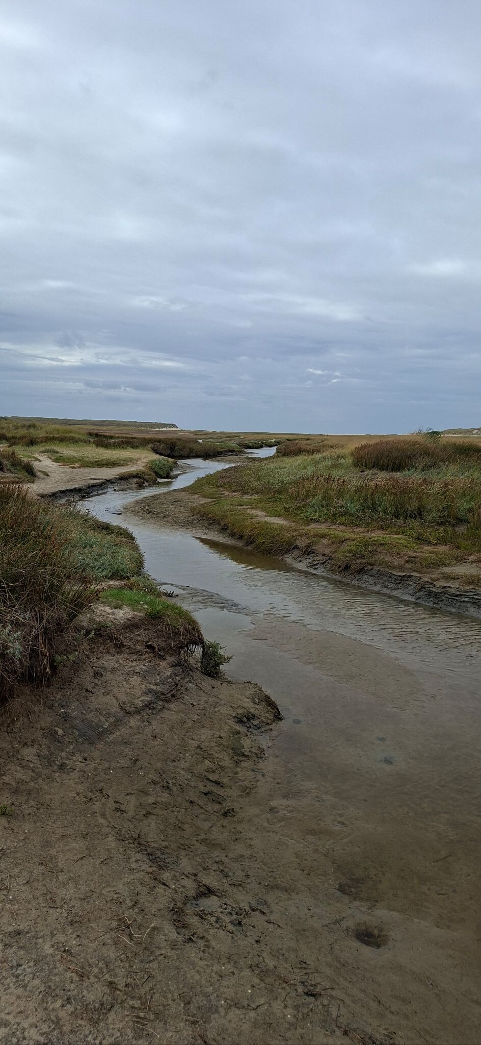
Underfoot, the paths vary significantly depending on where you walk. The seaward routes consist mostly of loose, deep sand that requires steady effort, while the inner forest tracks near De Koog offer firmer soil mixed with pine needles. In the wetter dune slacks, such as those near De Slufter where the tide flows in, the park has installed wooden boardwalks to keep walkers above the muddy clay, though most other trails remain unpaved sandy tracks that can become soft.
While the open beach areas and the northern inlet are popular and can be busy with visitors, the southern sections near Den Hoorn offer a quieter experience among low, grassy dunes. In August, the wet valleys turn purple with flowering heather, providing a sharp contrast to the pale sand tracks. This is a landscape of transition, where a short walk takes you from dense, quiet woodland into open, sandy scrubland.
Hiking routes in Duinen van Texel (59)

#1. 't Horntje - de Slufter · Texelpad etappe 1
Den Hoorn,Den Burg,De Koog,De Cocksdorp


#2. De Cocksdorp - De Waal · Noord-Hollandpad etappe 1
De Waal,De Cocksdorp,De Koog,Oosterend


#3. Slufterpad (blauw)
De Cocksdorp


#4. De Waal - Den Helder · Noord-Hollandpad etappe 2
Den Helder,Den Hoorn,Den Burg,Oudeschild,De Waal


#5. Ommetje Eierlandse Gat (rood)
De Cocksdorp

#6. Wandelroute De Seeting
De Koog


#7. Aanlooproiute Den Hoorn - Veer Den Helder
Den Hoorn

#8. Bleekersvallei (blauw)
Den Burg,De Koog

#9. Bollekamer (blauw)
Den Hoorn

#10. De Dennen (paars)
Den Burg

#11. De Muy- en Slufterbollenroute (oranje)
De Koog,De Cocksdorp

#12. De Seeting (blauw)
De Koog




