

The best hiking routes in Duinen Terschelling
Discover the best walks in Duinen Terschelling. 12 routes on the map, with descriptions, photos and GPX.
Managed by Staatsbosbeheer;Rijkswaterstaat;particulieren
About Duinen Terschelling
Duinen Terschelling covers the wide northern strip of the island, where the landscape transitions from high, dry sand dunes on the North Sea side to wet dune slacks and cranberry bogs further inland. Unlike the flat agricultural polders to the south, this area is defined by a rolling, wind-sculpted topography. Walkers can choose between the exposed outer dunes, which are dominated by marram grass and shifting sand, and the sheltered inner valleys, where low willow scrub and heather thrive.
Read more
About Duinen Terschelling
Duinen Terschelling covers the wide northern strip of the island, where the landscape transitions from high, dry sand dunes on the North Sea side to wet dune slacks and cranberry bogs further inland. Unlike the flat agricultural polders to the south, this area is defined by a rolling, wind-sculpted topography. Walkers can choose between the exposed outer dunes, which are dominated by marram grass and shifting sand, and the sheltered inner valleys, where low willow scrub and heather thrive.
Read moreDuinen Terschelling covers the wide northern strip of the island, where the landscape transitions from high, dry sand dunes on the North Sea side to wet dune slacks and cranberry bogs further inland. Unlike the flat agricultural polders to the south, this area is defined by a rolling, wind-sculpted topography. Walkers can choose between the exposed outer dunes, which are dominated by marram grass and shifting sand, and the sheltered inner valleys, where low willow scrub and heather thrive.
Underfoot, the terrain dictates the effort required. The main paths through the pine plantations and along the southern edges are often packed shell tracks or gravel, while the routes crossing the open dunes consist of loose, deep sand that makes walking slow. In the wetter valleys, particularly around the Boschplaat boundary, low-lying sections can become waterlogged, though simple wooden boardwalks cross the deepest bogs.
In August, the dry heathlands turn purple, contrasting with the grey-green sea buckthorn bushes that bear bright orange berries later in autumn. The area is managed with minimal intervention, meaning dead wood is left to rot in the forested sections, and grazing cattle or ponies are used to keep the scrub from overtaking the open sand. While the trailheads near West-Terschelling and Midsland aan Zee are often busy, the central dunes offer a much quieter, more isolated walking experience.
Hiking routes in Duinen Terschelling (12)
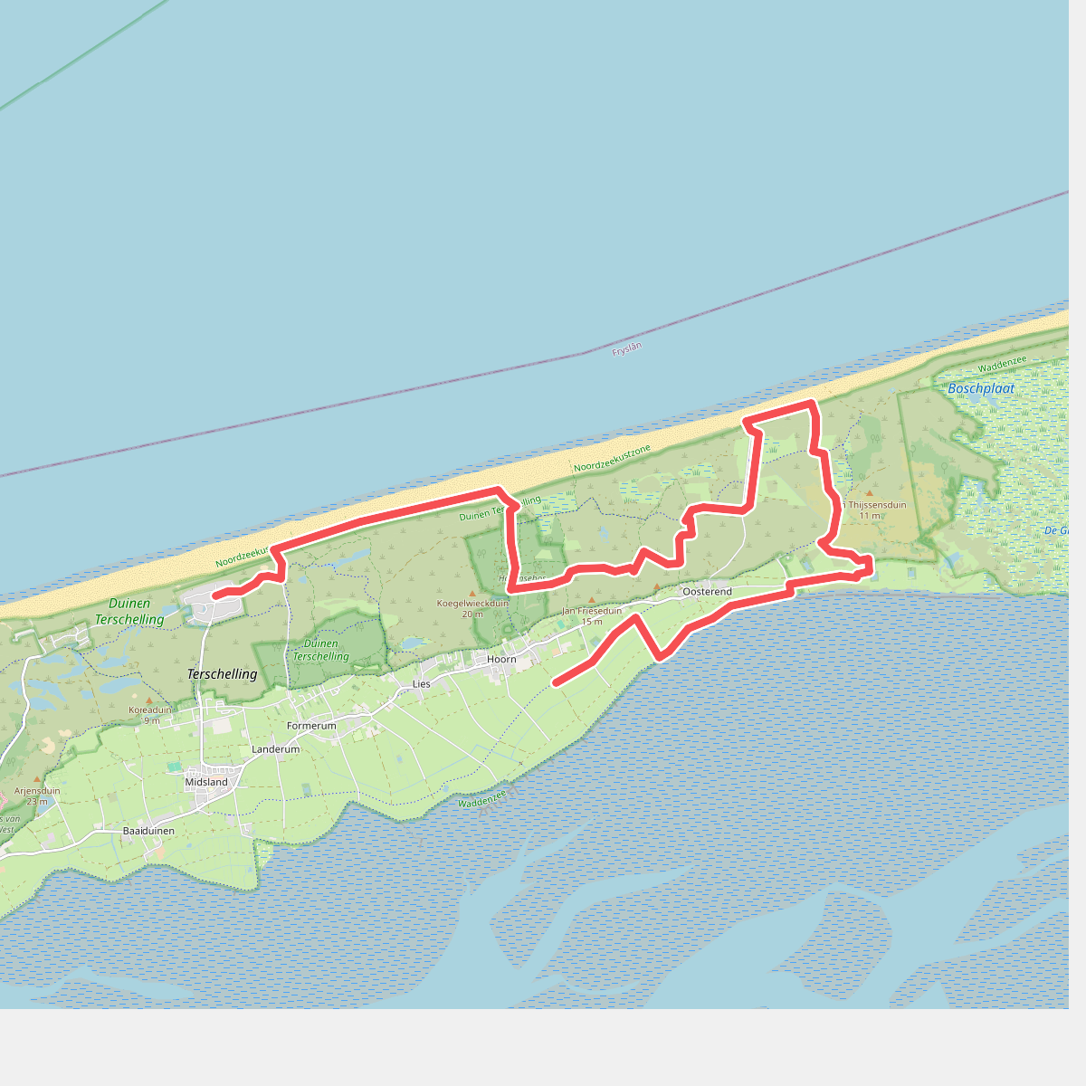
#1. Terschelling 2: Midsland aan Zee - Hoorn · WaddenWandelen etappe 11
Hoorn,Oosterend,Formerum,Midsland
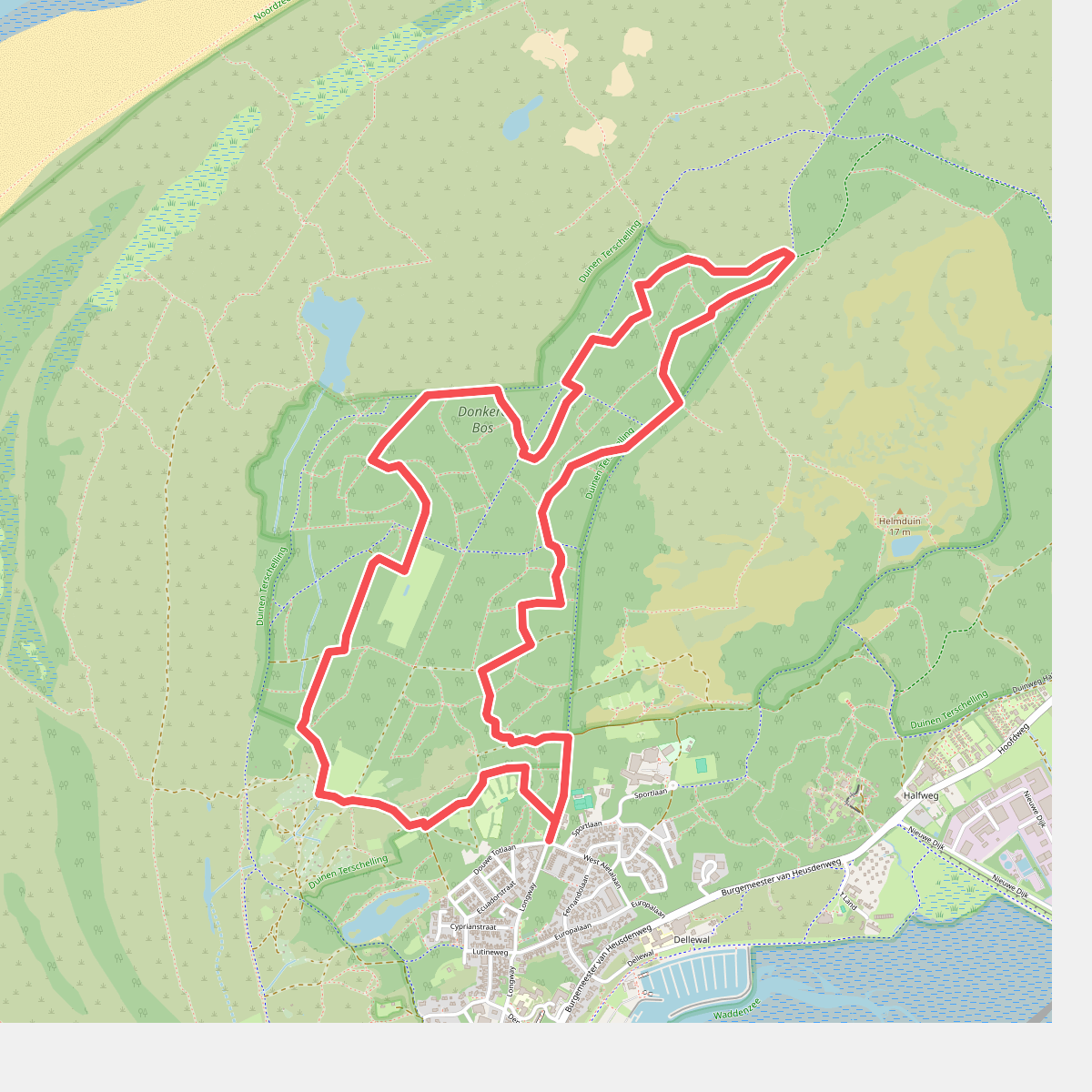


#2. Wandelroute Sparrenlaan en Groene Pollen
West-Terschelling
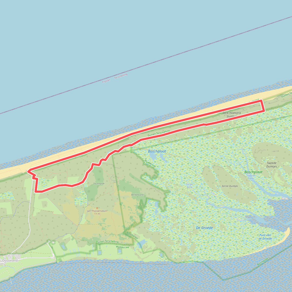
#3. Boschplaat
Oosterend
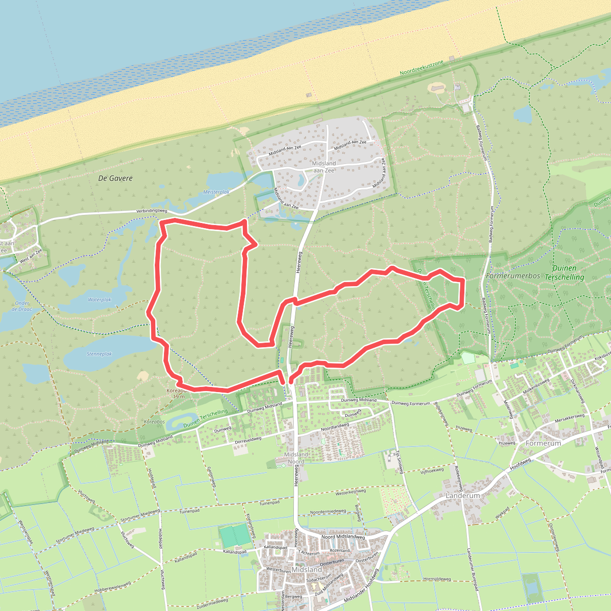
#4. Boswachterspad Landerumheide en Waterplak
Midsland,West-Terschelling,Baaiduinen
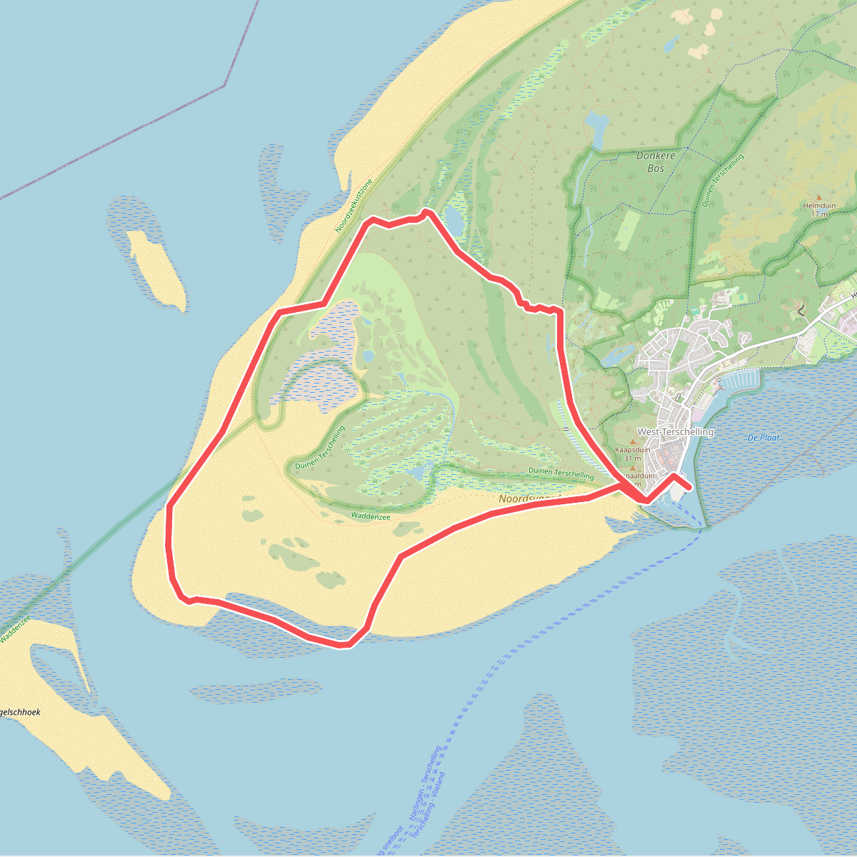
#5. Boswachterspad Noordsvaarder
West-Terschelling
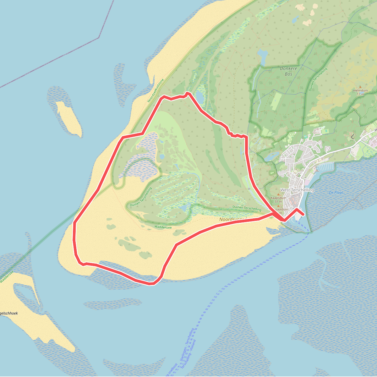
#6. Boswachterspad Noordsvaarder
West-Terschelling
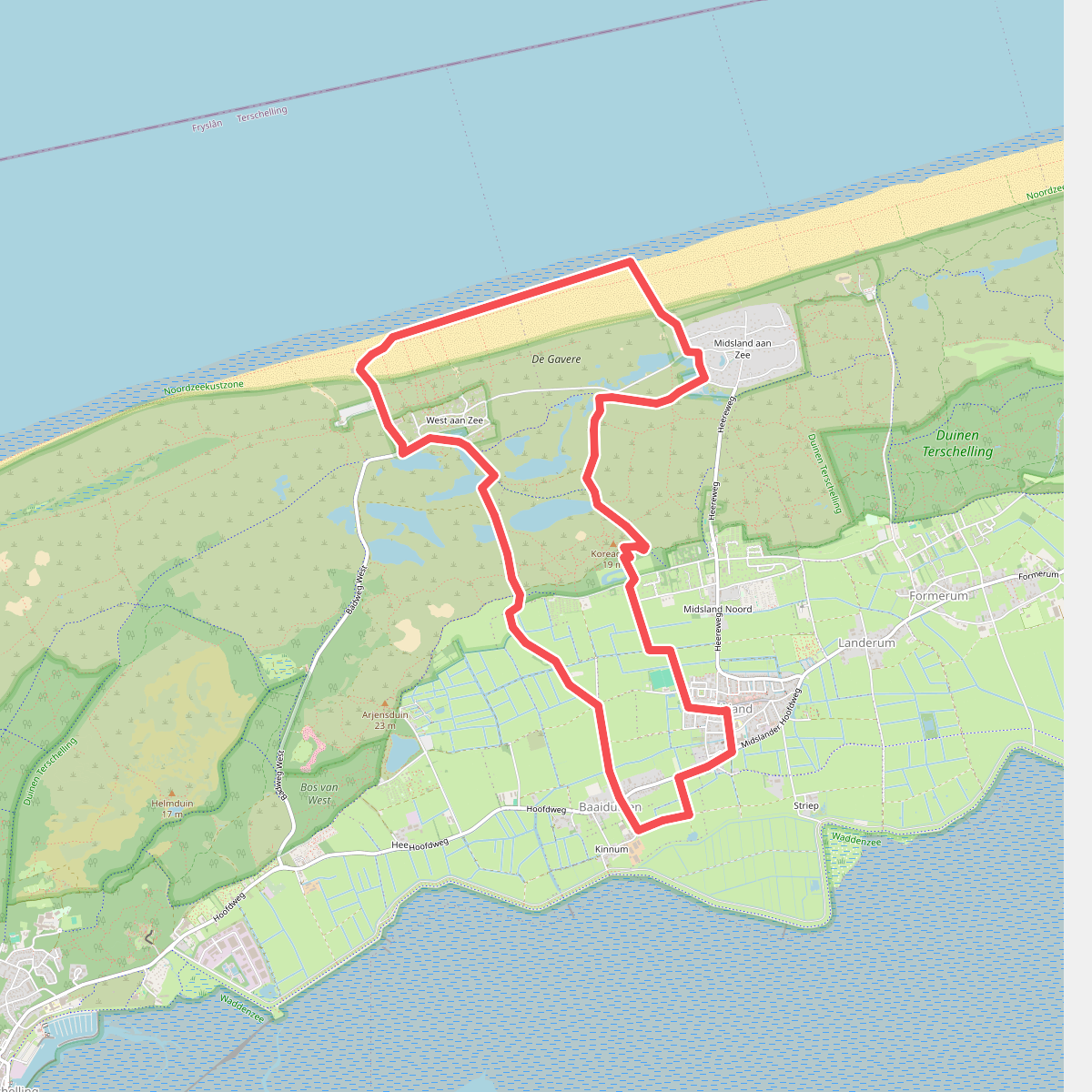

#7. Struinen en jutten
Kinnum,Kaard,Baaiduinen,West-Terschelling,Midsland
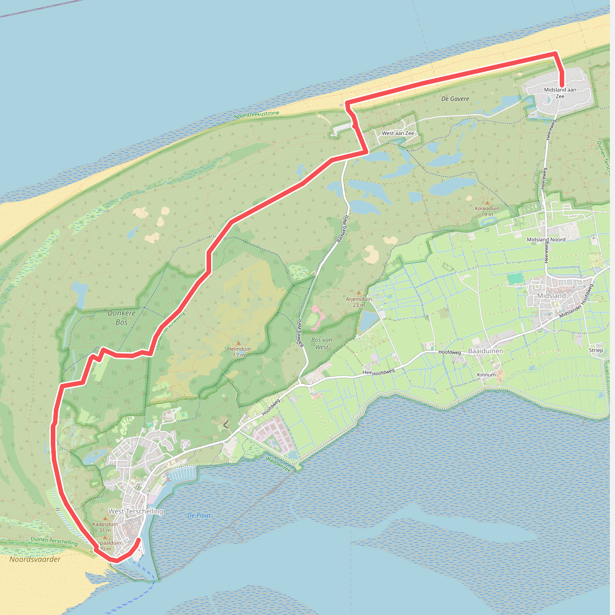
#8. Terschelling 1: West-Terschelling haven - Mids · WaddenWandelen etappe 10
Midsland,West-Terschelling
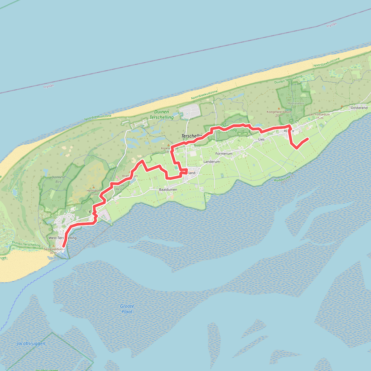
#9. Terschelling 3: Hoorn - West-Terschelling haven · WaddenWandelen etappe 12
West-Terschelling,Kaard,Baaiduinen,Kinnum,Midsland,Formerum,Hoorn
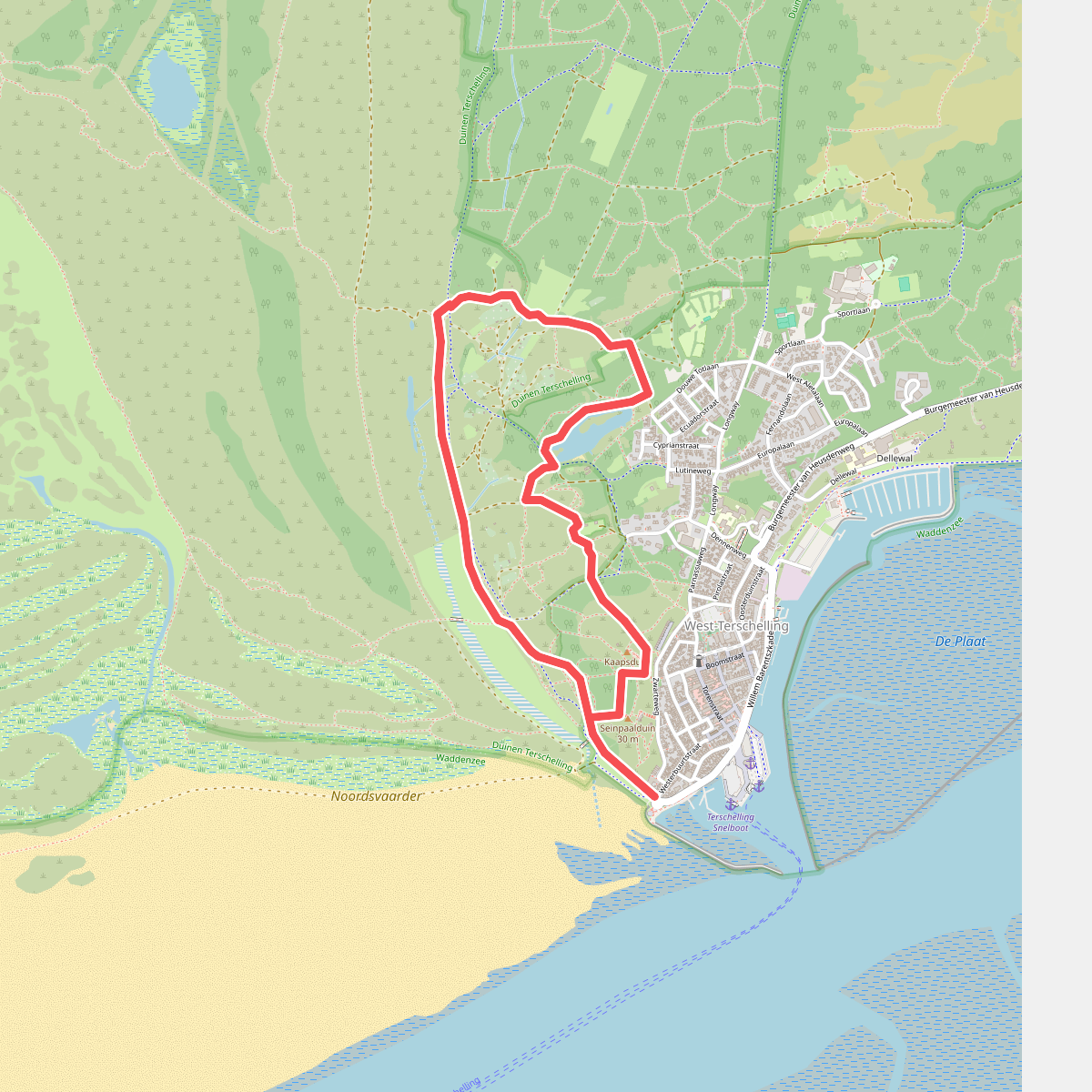

#10. Wandelroute Doodemanskisten en Seinpaalduin
West-Terschelling
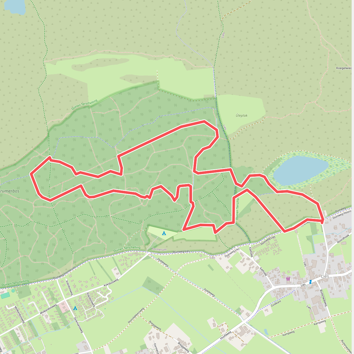
#11. Wandelroute Formerumerbos en Wilhelminapolder
Formerum,Lies
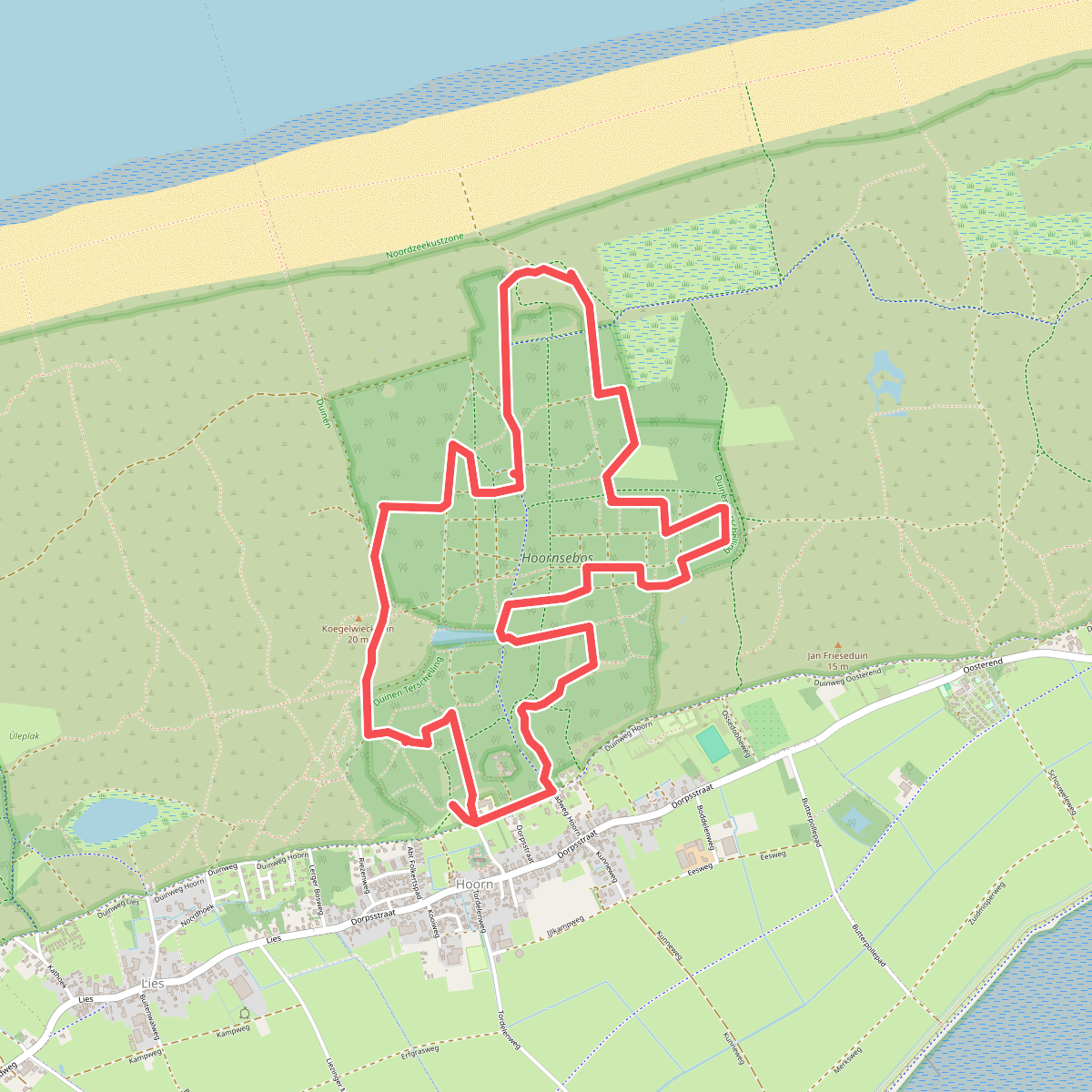
#12. Wandelroute Hoornerbos en 't Pakhuis
Hoorn,Lies




