

The best hiking routes in Vlijmens Ven, Moerputten & Bossche Broek
Discover the best walks in Vlijmens Ven, Moerputten & Bossche Broek. 28 routes on the map, with descriptions, photos and GPX.
Managed by Staatsbosbeheer;Natuurmonumenten;Rijkswaterstaat;particulieren
About Vlijmens Ven, Moerputten & Bossche Broek
Vlijmens Ven, Moerputten & Bossche Broek offers a distinct walking experience shaped by the low-lying basin of the Meuse river, directly bordering the historic city fortifications of 's-Hertogenbosch. This is a landscape of wet clay soils, reed beds, and hay meadows rather than dry pine forests or sandy dunes. The area is highly managed to control water levels, which you will notice in the straight drainage canals, dikes, and sluices that slice through the flat terrain.
Read more
About Vlijmens Ven, Moerputten & Bossche Broek
Vlijmens Ven, Moerputten & Bossche Broek offers a distinct walking experience shaped by the low-lying basin of the Meuse river, directly bordering the historic city fortifications of 's-Hertogenbosch. This is a landscape of wet clay soils, reed beds, and hay meadows rather than dry pine forests or sandy dunes. The area is highly managed to control water levels, which you will notice in the straight drainage canals, dikes, and sluices that slice through the flat terrain.
Read moreVlijmens Ven, Moerputten & Bossche Broek offers a distinct walking experience shaped by the low-lying basin of the Meuse river, directly bordering the historic city fortifications of 's-Hertogenbosch. This is a landscape of wet clay soils, reed beds, and hay meadows rather than dry pine forests or sandy dunes. The area is highly managed to control water levels, which you will notice in the straight drainage canals, dikes, and sluices that slice through the flat terrain.
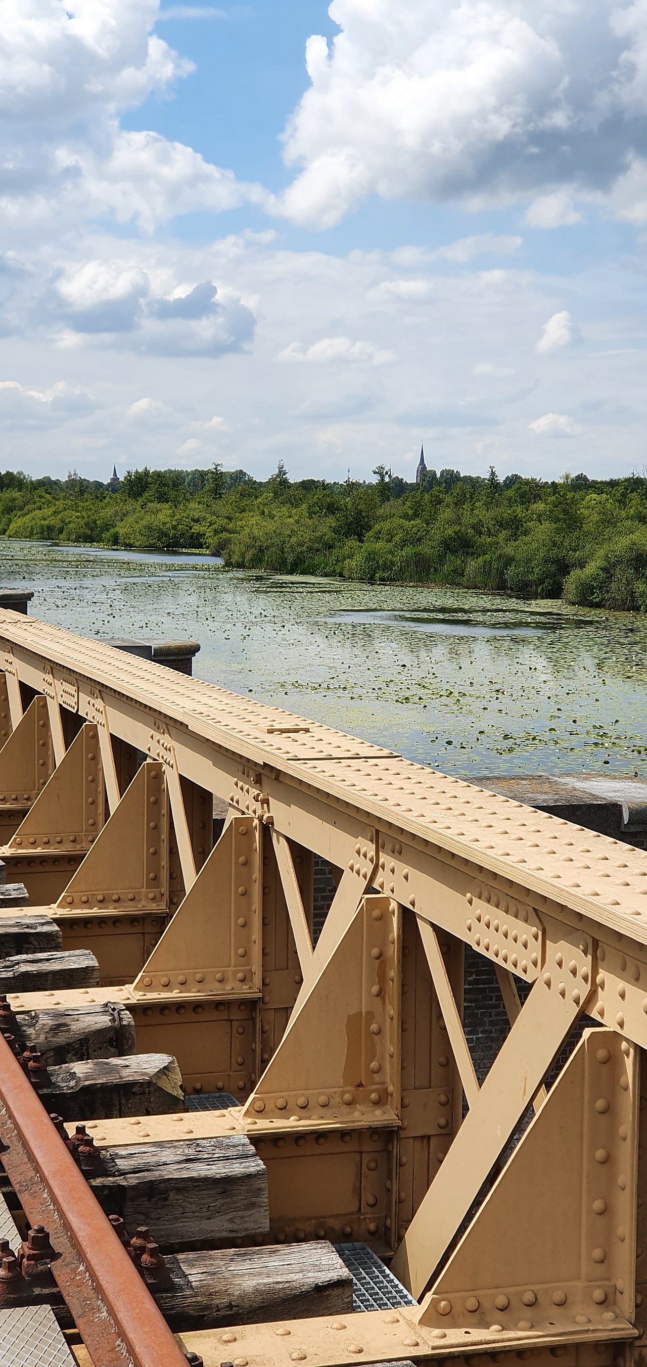
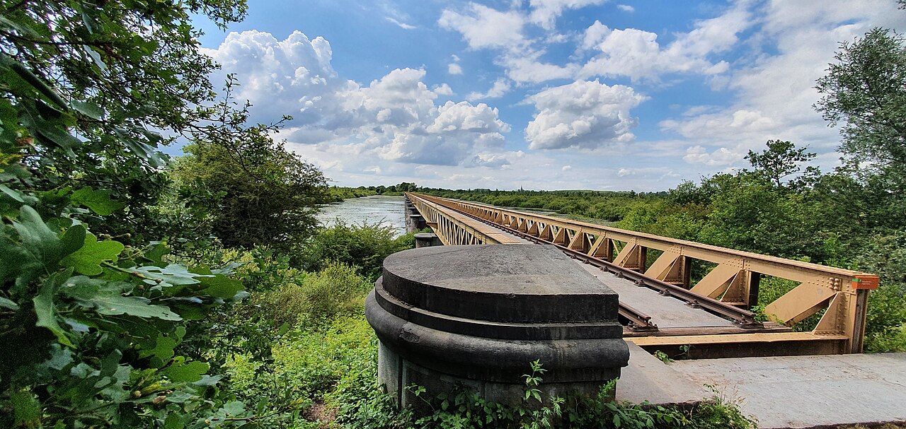
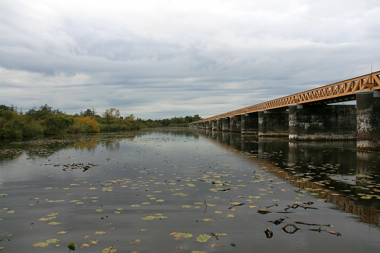
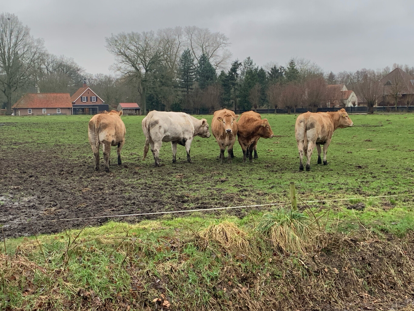
Underfoot, the paths vary significantly between the three interconnected zones. In the Moerputten, you walk on raised wooden boardwalks over swamp forest and peat pits, or along the gravel ballast of a decommissioned railway line, including the iconic steel Moerputten Bridge. The Bossche Broek consists of wide, grassy paths through open river meadows that are prone to seasonal flooding, while the Vlijmens Ven features more straightforward farm tracks alongside agricultural fields undergoing nature restoration.
This area does not offer deep forests, rolling hills, or complete isolation from urban life, as the city skyline and highway noise are often visible and audible. It is a place to observe specialized wetland vegetation, such as blue grassland species in June, and to experience how a modern city integrates with its surrounding floodplains. The boardwalks and the railway bridge can become busy with local walkers, whereas the long dikes of the Vlijmens Ven generally see fewer visitors.
Hiking routes in Vlijmens Ven, Moerputten & Bossche Broek (28)
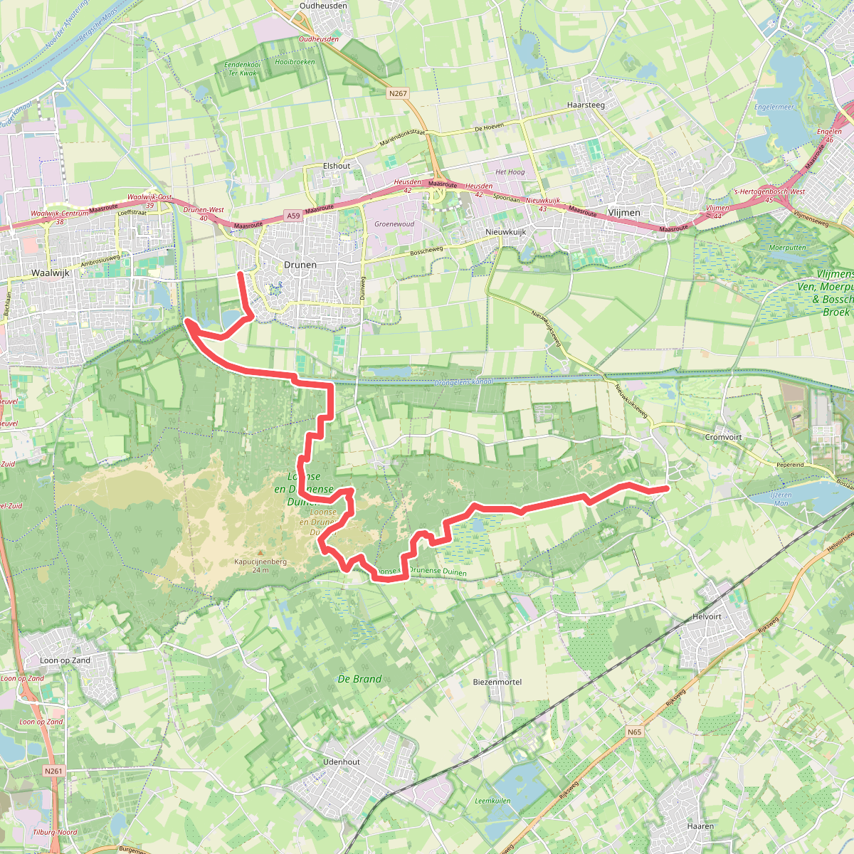
#1. Drunen - Distelberg · Pelgrimspad etappe 11
Helvoirt,Biezenmortel,Udenhout,Drunen
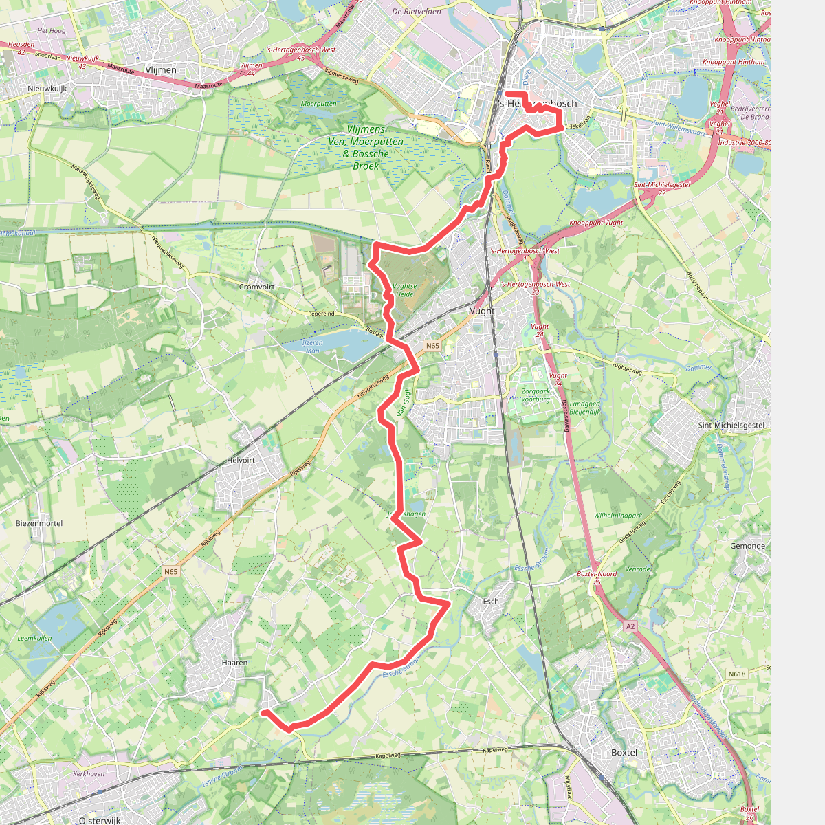
#2. 's-Hertogenbosch station - Haaren · Pelgrimspad etappe 13
Haaren,Esch,Vught,'s-Hertogenbosch
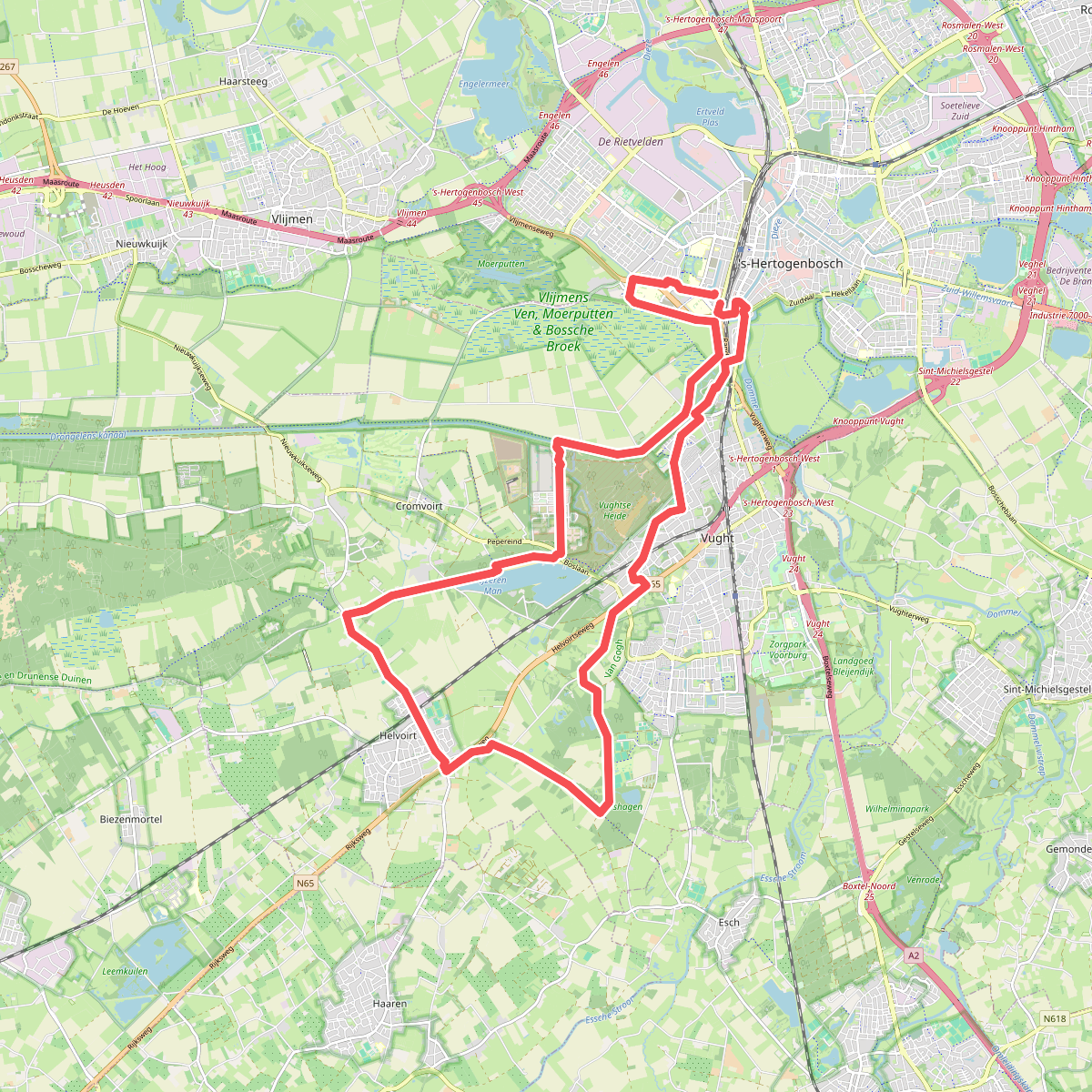
#3. Tweede etappe 25 km Bossche A4D 2026
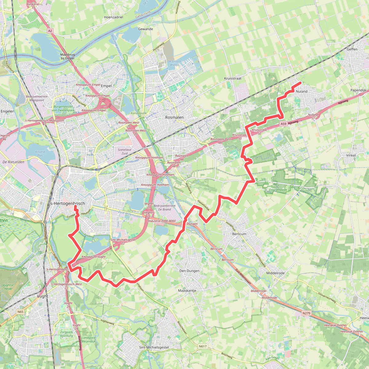
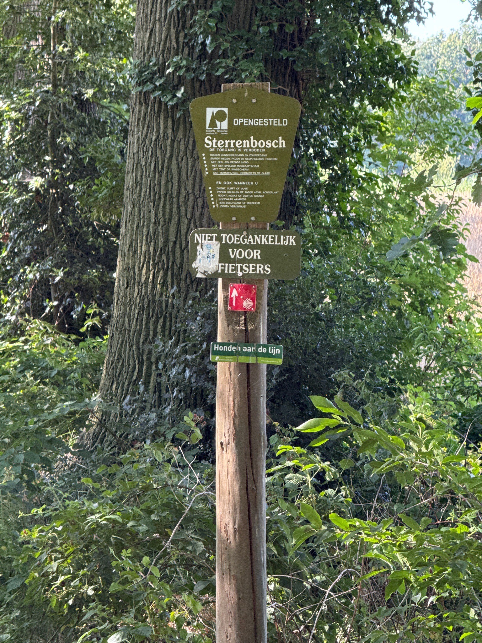
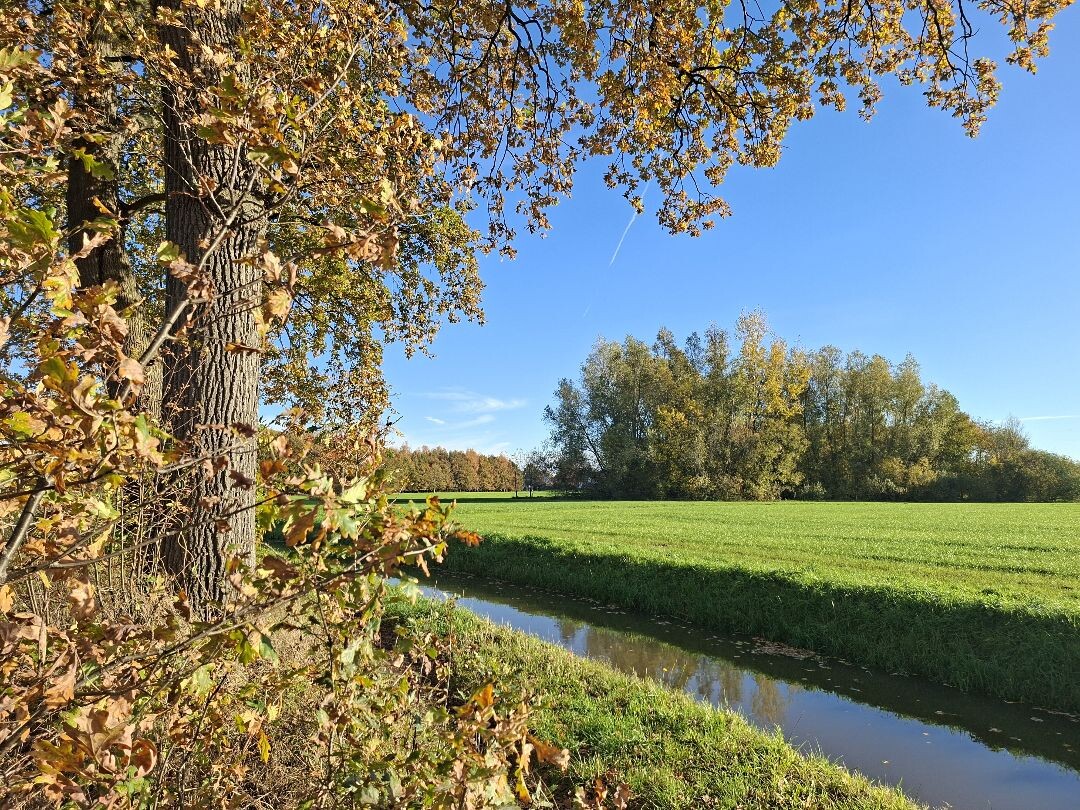
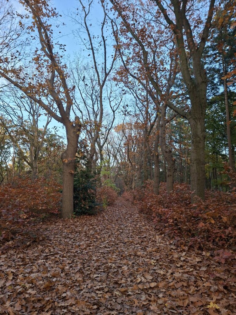
#4. Den Bosch - Nuland · Camino Brabant etappe 1
Nuland,Rosmalen,Berlicum,'s-Hertogenbosch,Sint-Michielsgestel,Vught
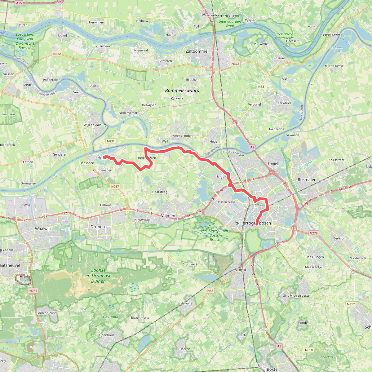
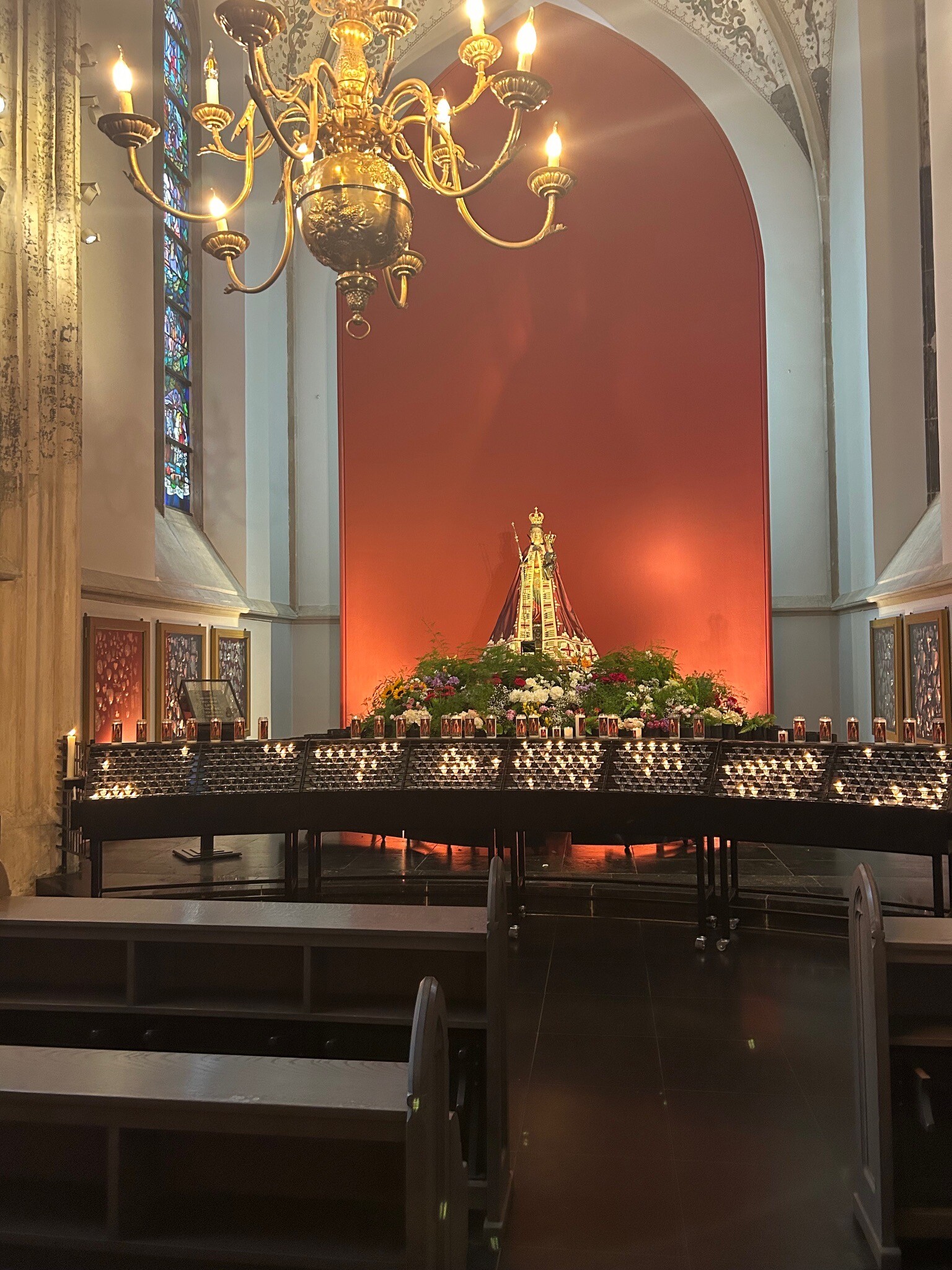
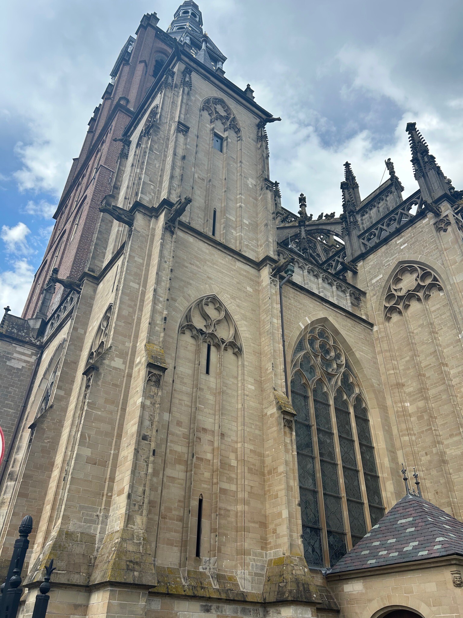
#5. Heusden - Den Bosch · Camino Brabant etappe 13
's-Hertogenbosch,Hedel,Ammerzoden,Well,Bern,Hedikhuizen,Herpt,Oudheusden,Heusden
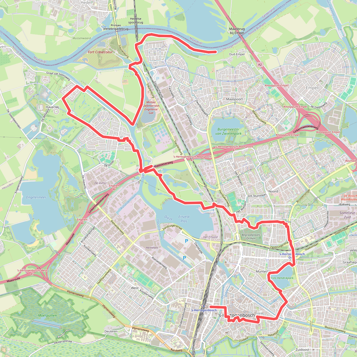
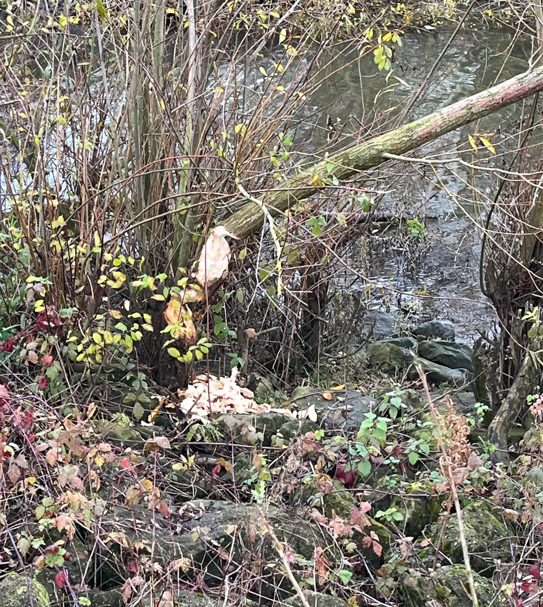
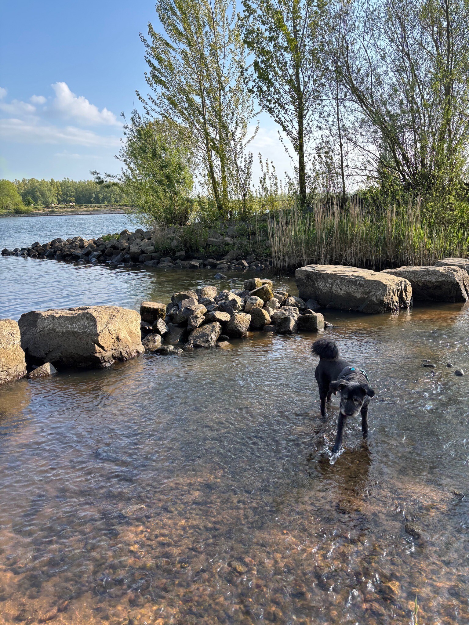
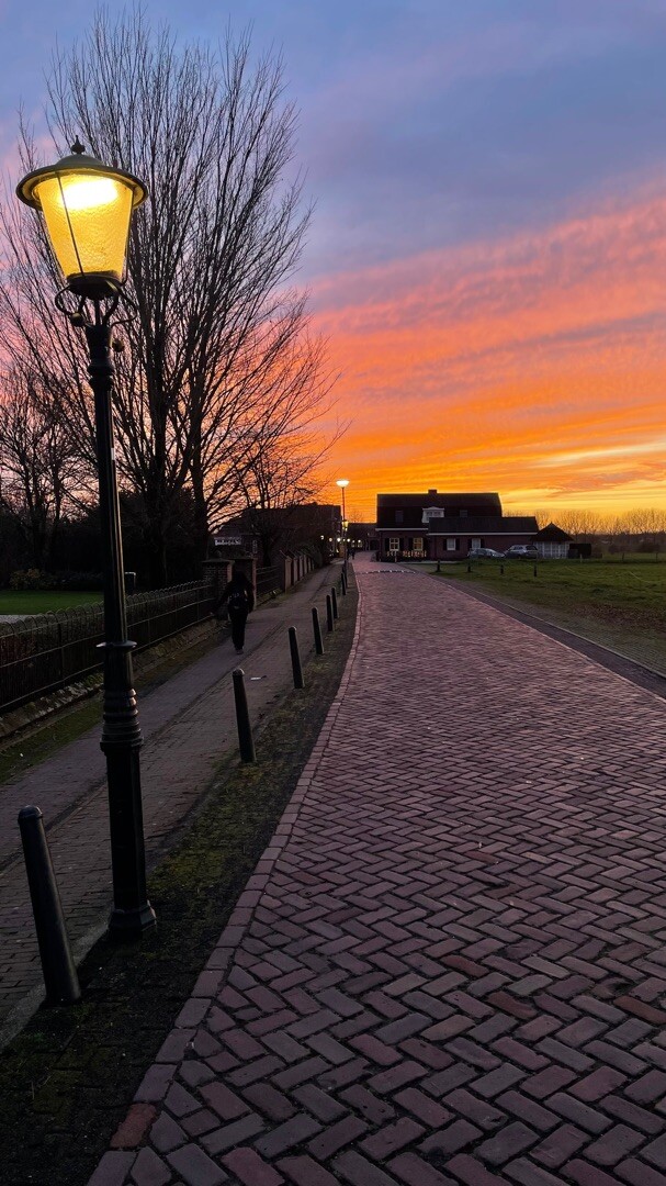
#6. 's-Hertochenbosch station - Oud-Empel · Maarten van Rossumpad etappe 1
's-Hertogenbosch,Hedel
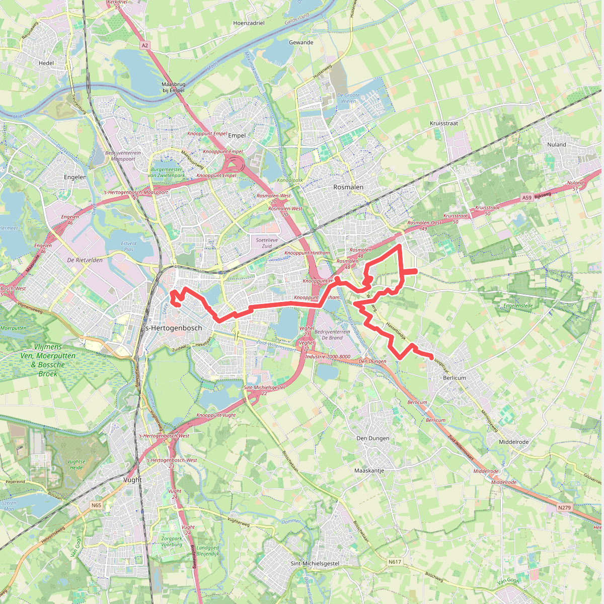
#7. Berlicum - Den Bosch (Etappe 13 - Langs de Brabantse Aa)
Berlicum,Den Dungen,Rosmalen,'s-Hertogenbosch
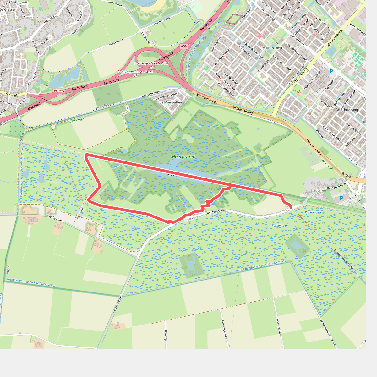
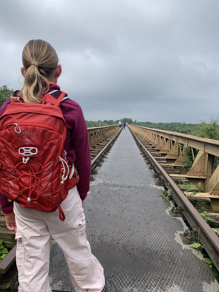
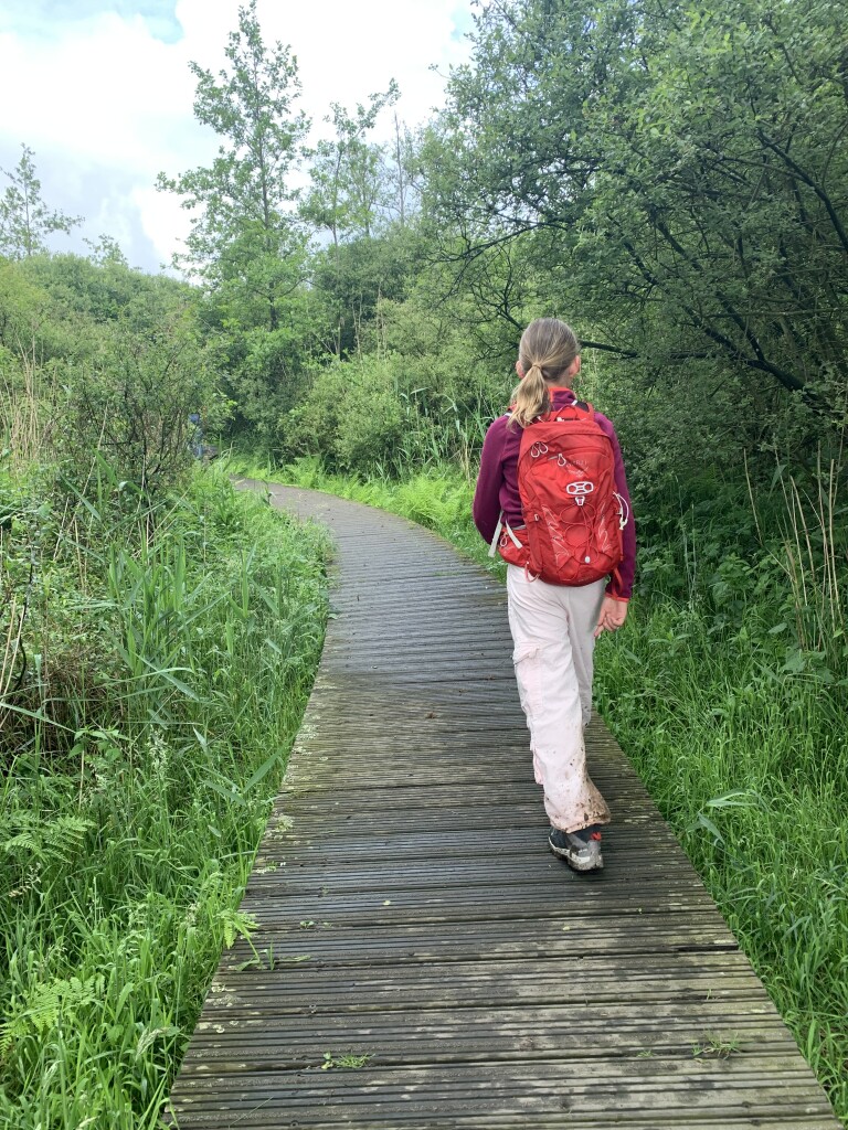
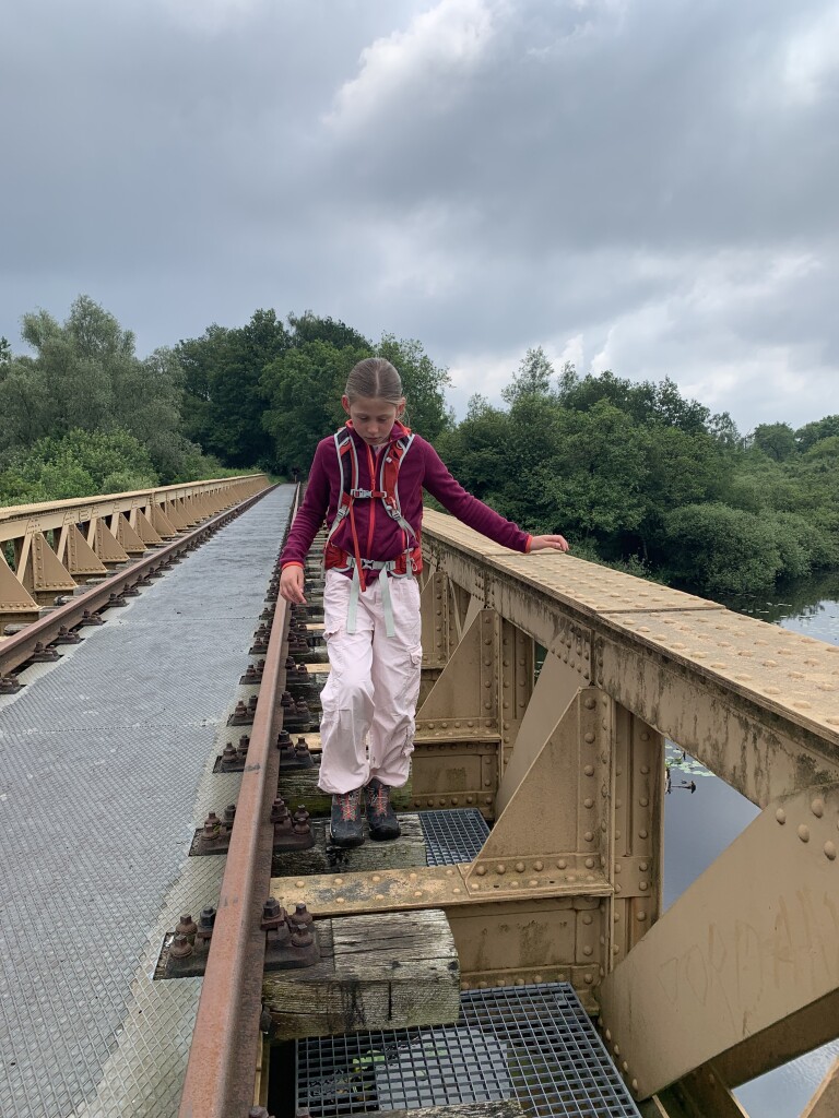
#8. Boswachterspad Bruggenroute Moerputten
's-Hertogenbosch,Vlijmen,Cromvoirt
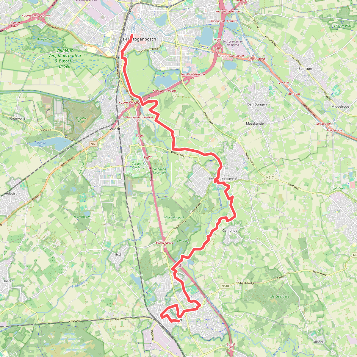
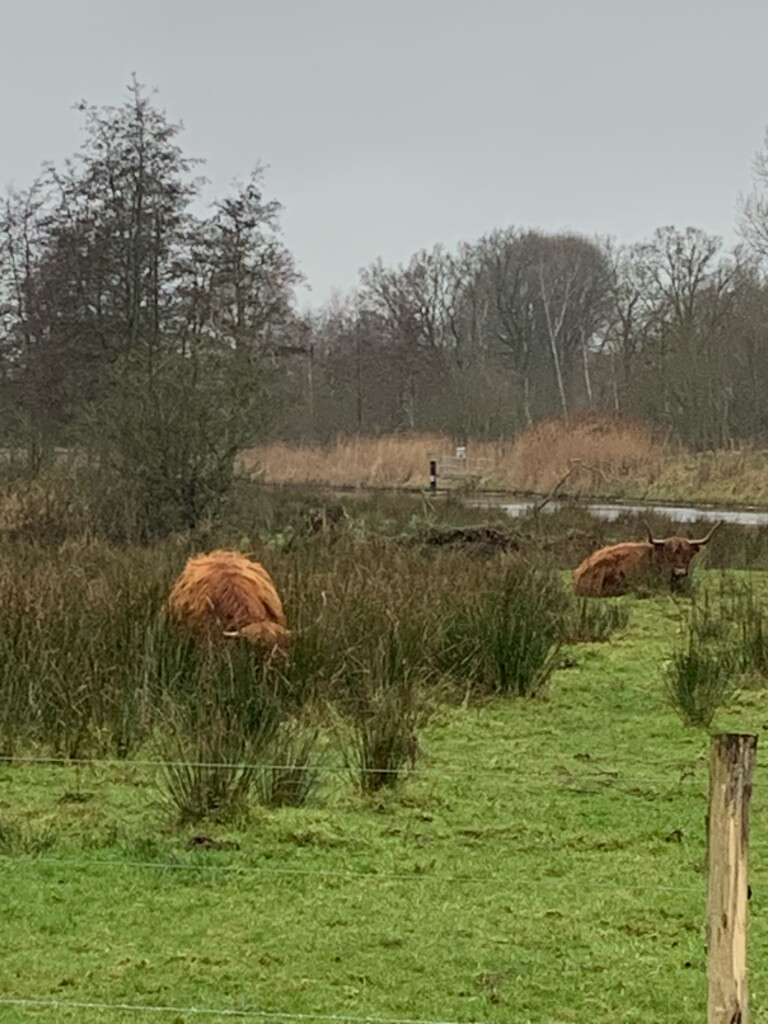
#9. Boxtel - 's-Hertogenbosch · Dommelpad etappe 6
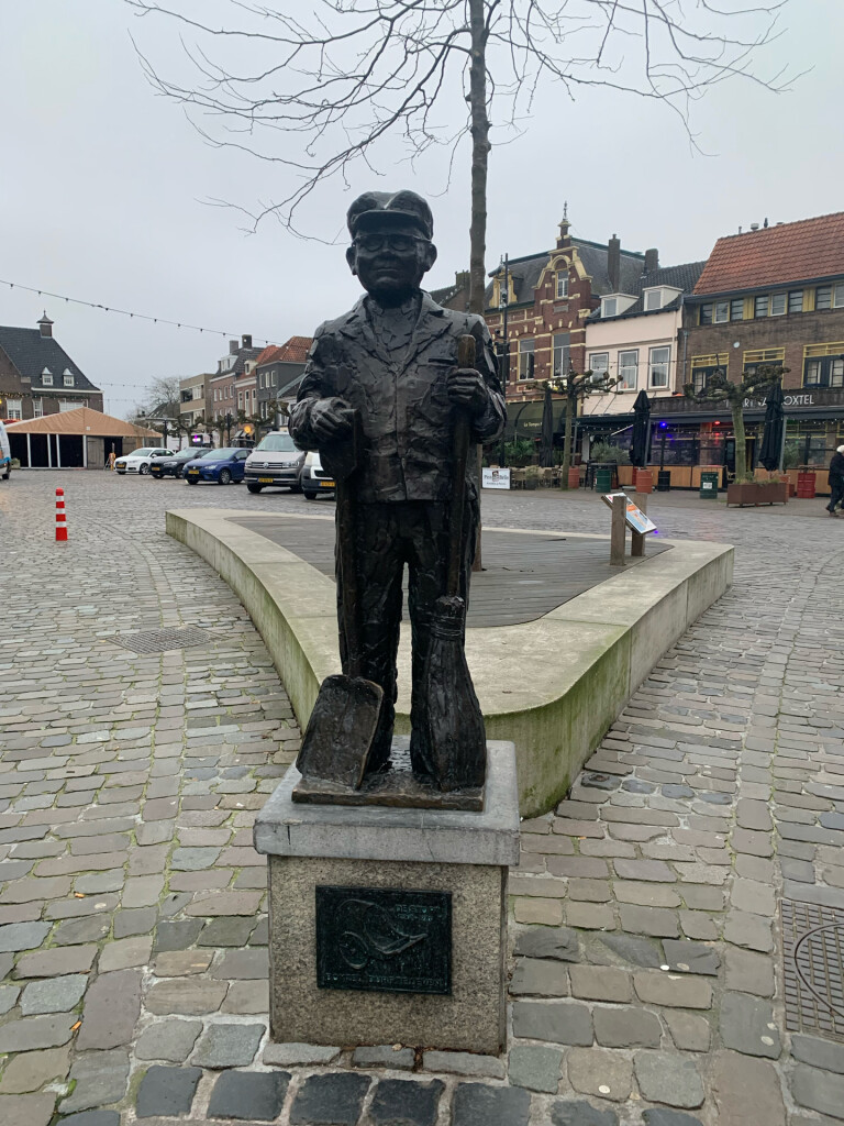
Boxtel,Gemonde,Sint-Michielsgestel,Vught,'s-Hertogenbosch
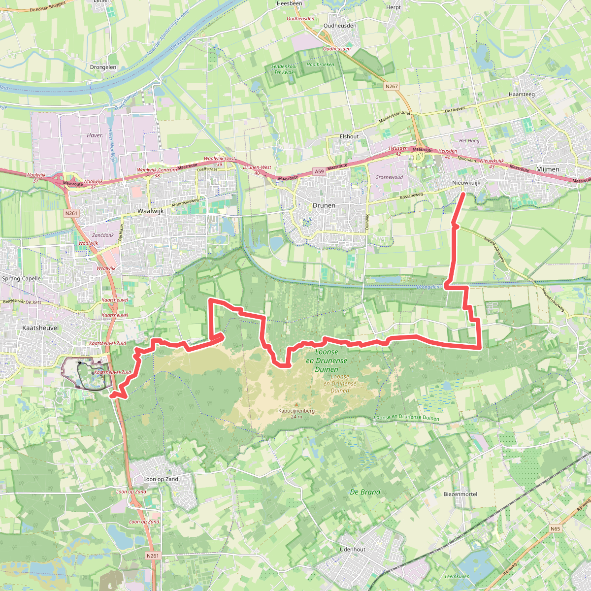
#10. De Efteling - Nieuwkuijk · Hertogenpad etappe 3
Drunen,Nieuwkuijk,Helvoirt,Kaatsheuvel,Sprang-Capelle
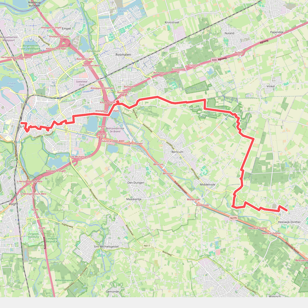
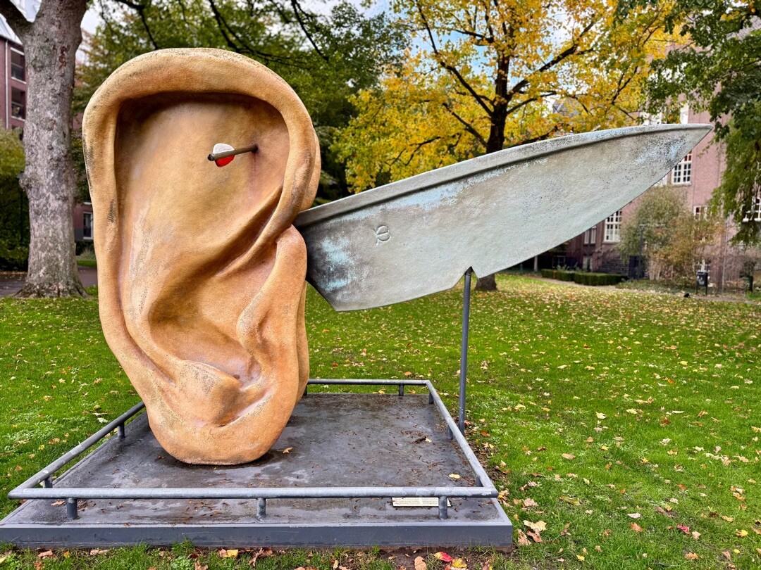
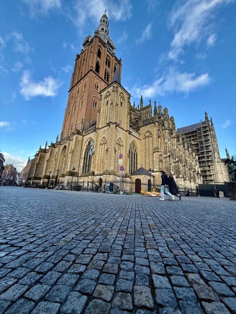
#11. Den Bosch - Heeswijk · Ons Kloosterpad etappe 1
Heeswijk-Dinther,Berlicum,Vinkel,Rosmalen,'s-Hertogenbosch
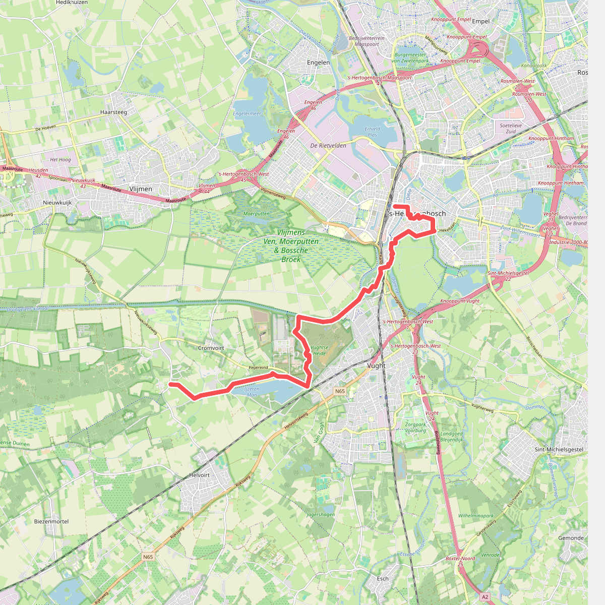
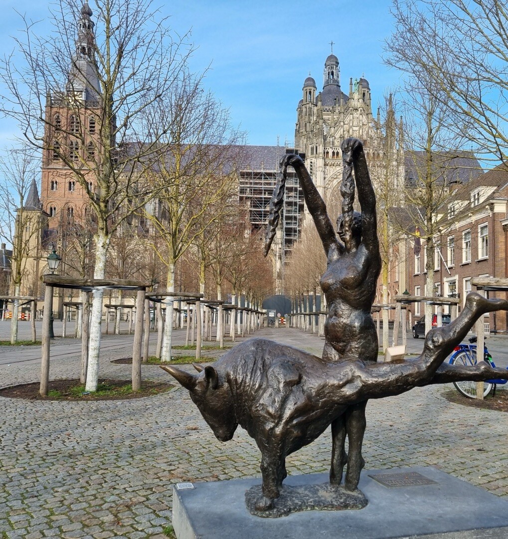
#12. Distelberg - 's Hertochenbosch station · Pelgrimspad etappe 12
's-Hertogenbosch,Vught,Cromvoirt,Helvoirt




