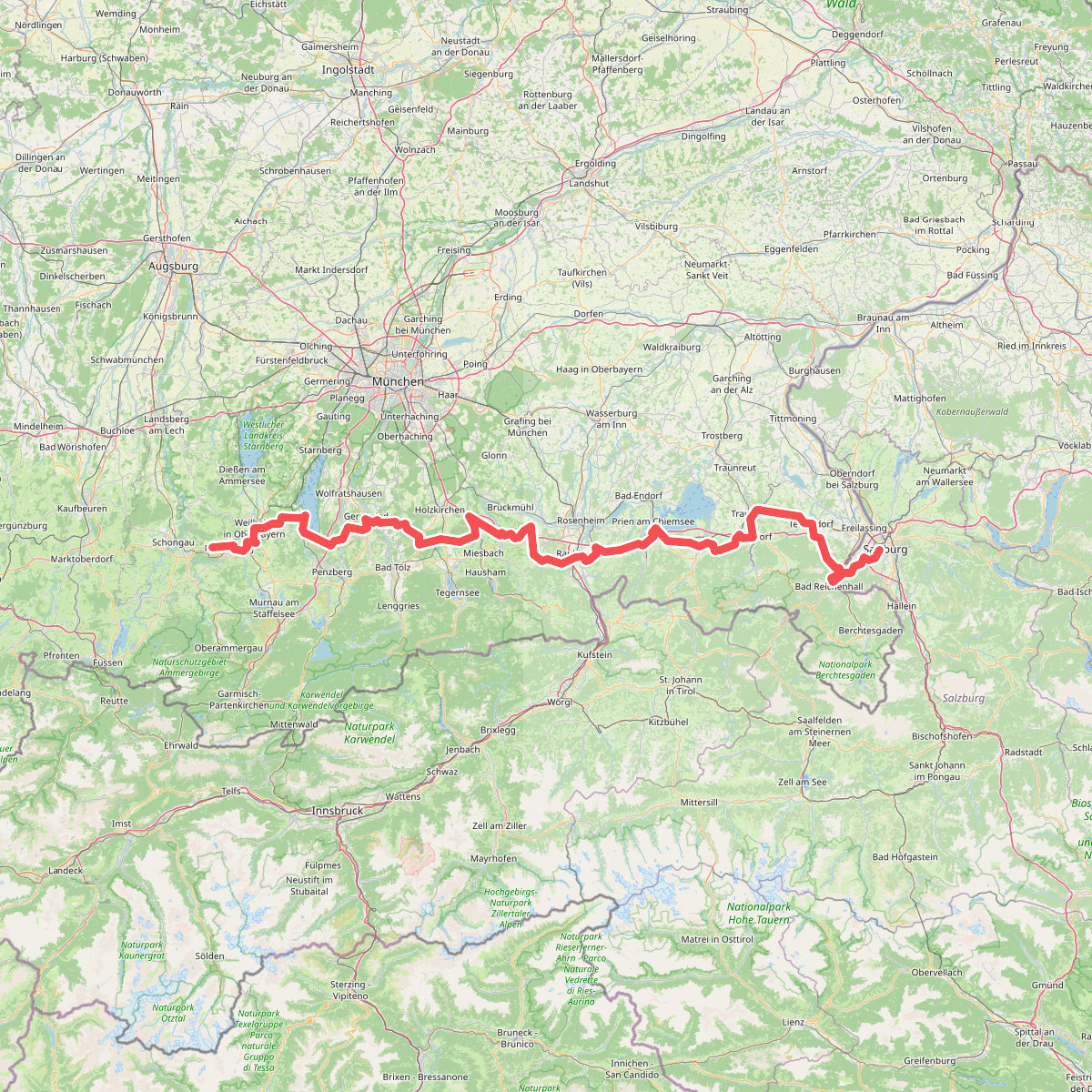
The best hiking routes in Starnberger See
Discover the best walks in Starnberger See. 12 routes on the map, with descriptions, photos and GPX.
About Starnberger See
Starnberger See is a large, deep glacial lake south of Munich, shaped by ancient ice age glaciers that left behind a landscape of gently rolling moraine hills. For a walker, this means the terrain is mostly flat near the water, with low, wooded ridges rising further inland. The shoreline is highly developed, so a walk here is not a wilderness trek; instead, it alternates between manicured lakeside promenades, public bathing lawns, and shaded gravel paths under beech and oak trees.
Read more
About Starnberger See
Starnberger See is a large, deep glacial lake south of Munich, shaped by ancient ice age glaciers that left behind a landscape of gently rolling moraine hills. For a walker, this means the terrain is mostly flat near the water, with low, wooded ridges rising further inland. The shoreline is highly developed, so a walk here is not a wilderness trek; instead, it alternates between manicured lakeside promenades, public bathing lawns, and shaded gravel paths under beech and oak trees.
Read moreStarnberger See is a large, deep glacial lake south of Munich, shaped by ancient ice age glaciers that left behind a landscape of gently rolling moraine hills. For a walker, this means the terrain is mostly flat near the water, with low, wooded ridges rising further inland. The shoreline is highly developed, so a walk here is not a wilderness trek; instead, it alternates between manicured lakeside promenades, public bathing lawns, and shaded gravel paths under beech and oak trees.
Underfoot, you will mostly find firm gravel tracks, paved lakeside paths, and occasional dirt trails through the woods. The eastern shore tends to have more natural, wooded stretches and steeper banks, while the western shore is more built up with historic villas and railway access. Because much of the waterfront is private property, paths often detour inland, forcing you onto quiet asphalt lanes or forest tracks where the lake is temporarily lost from view.
In autumn, particularly around October, the deciduous forests on the eastern hills turn deep yellow and bronze, making the woodland detours highly scenic. This lake is popular for its open views across the water toward the distant alpine horizon, but the immediate walking environment is defined by manicured parkland, reed beds, and boat docks rather than rugged terrain.
Hiking routes in Starnberger See (12)

#1. Heilige Landschaft Pfaffenwinkel - Nordschleife

#2. Höhenbergrunde mit Ilkahöhe
Tutzing

#3. Klosterweiherweg
Bernried am Starnberger See,Seeshaupt

#4. Münchner Jakobsweg - Variante Leoni

#5. Nördlicher Rundweg
Tutzing

#6. Tutzing - Bernried
Tutzing

#7. Tutzing - Feldafing
Tutzing,Feldafing

#8. Tutzing - Kerschlach - Andechs
Tutzing,Pähl,Andechs

#9. Tutzing - Maisinger See
Tutzing,Pöcking

#10. Tutzing - Traubing - Andechs
Tutzing,Andechs

#11. Tutzinger Runde
Tutzing,Feldafing