

The best hiking routes in Plaine alluviale du Val de Morteau
Discover the best walks in Plaine alluviale du Val de Morteau. 8 routes on the map, with descriptions, photos and GPX.
Managed by EPAGE Haut-Doubs Haute-Loue
About Plaine alluviale du Val de Morteau
The Plaine alluviale du Val de Morteau is a wide, flat valley floor shaped by the slow-flowing Doubs River. Unlike the steep limestone cliffs and dense pine forests of the surrounding Jura heights, this specific area is characterized by open wet meadows, marshy depressions, and old river bends. The landscape is defined by its water management, where you will see drainage ditches, grazing cattle, and reed beds rather than rugged mountain terrain.
Read more
About Plaine alluviale du Val de Morteau
The Plaine alluviale du Val de Morteau is a wide, flat valley floor shaped by the slow-flowing Doubs River. Unlike the steep limestone cliffs and dense pine forests of the surrounding Jura heights, this specific area is characterized by open wet meadows, marshy depressions, and old river bends. The landscape is defined by its water management, where you will see drainage ditches, grazing cattle, and reed beds rather than rugged mountain terrain.
Read moreThe Plaine alluviale du Val de Morteau is a wide, flat valley floor shaped by the slow-flowing Doubs River. Unlike the steep limestone cliffs and dense pine forests of the surrounding Jura heights, this specific area is characterized by open wet meadows, marshy depressions, and old river bends. The landscape is defined by its water management, where you will see drainage ditches, grazing cattle, and reed beds rather than rugged mountain terrain.
Underfoot, the walking routes alternate between paved agricultural tracks and grassy paths that can be soft and muddy. Wooden footbridges and small viewing platforms allow access to the marshier sections near the riverbanks. The flat terrain offers straightforward walking without significant climbs, making it a stark contrast to the demanding ridges nearby.
In late spring, around May, the meadows fill with wildflowers, highlighting the seasonal flooding that regularly shapes these lowlands. Walkers should expect an open, agricultural wetland where the focus is on observing waterbirds and river vegetation rather than deep forest isolation.
Hiking routes in Plaine alluviale du Val de Morteau (8)

#1. European long distance path E2 - part France · Fesches-le-Châtel – Les Cressonnières
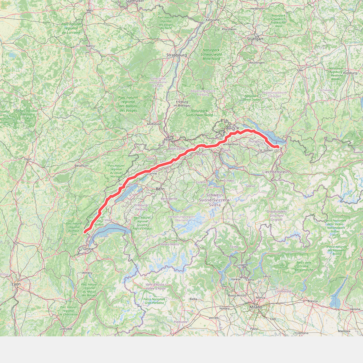
#2. European long distance path E4 - part Switzerland

#3. GR 5 Variante Morteau

#4. GTJ à pied · Mandeure – Le Bayard

#5. Les Brenets - Cabane du Mont Chât... · GR5 etappe 64
Le Locle,Villers-le-Lac,Montlebon,Grand'Combe-Châteleu

#6. L'Orlogeur
Morteau,Montlebon,Grand'Combe-Châteleu,Le Cerneux-Péquignot,Villers-le-Lac

#7. Via Cluny Variante Morteau Etape 1

#8. Walk around Lac des Brenets / Lac... · GR5 etappe 63
Le Locle,Villers-le-Lac




