

The best hiking routes in Parco Regionale del Beigua
Discover the best walks in Parco Regionale del Beigua. 10 routes on the map, with descriptions, photos and GPX.
About Parco Regionale del Beigua
Parco Regionale del Beigua spans a rugged section of the Ligurian Apennines where the mountains drop steeply toward the Mediterranean Sea. Unlike the softer, forested hills further inland, this area is characterized by dark, metallic ophiolite rock formations, vast block fields of shattered stone, and high wind-swept grasslands. The transition from coastal scrub to alpine-like peat bogs occurs over remarkably short distances, meaning a single walk can shift quickly from dense beech woods to exposed, rocky ridges.
Read more
About Parco Regionale del Beigua
Parco Regionale del Beigua spans a rugged section of the Ligurian Apennines where the mountains drop steeply toward the Mediterranean Sea. Unlike the softer, forested hills further inland, this area is characterized by dark, metallic ophiolite rock formations, vast block fields of shattered stone, and high wind-swept grasslands. The transition from coastal scrub to alpine-like peat bogs occurs over remarkably short distances, meaning a single walk can shift quickly from dense beech woods to exposed, rocky ridges.
Read moreParco Regionale del Beigua spans a rugged section of the Ligurian Apennines where the mountains drop steeply toward the Mediterranean Sea. Unlike the softer, forested hills further inland, this area is characterized by dark, metallic ophiolite rock formations, vast block fields of shattered stone, and high wind-swept grasslands. The transition from coastal scrub to alpine-like peat bogs occurs over remarkably short distances, meaning a single walk can shift quickly from dense beech woods to exposed, rocky ridges.
Underfoot, walkers will mostly encounter rough, stony mule tracks, old military roads, and narrow dirt paths that require careful stepping due to loose shale and jagged rocks. The main ridge route, part of the Alta Via dei Monti Liguri, offers open views of the coastline, while the deeper valleys hide damp gorges with rushing streams and moss-covered boulders. There are no high alpine peaks or permanent glaciers here, but rather a high-altitude plateau that feels surprisingly wild and isolated despite its proximity to the coast.
In May, the open grasslands of the high plateau are marked by the flowering of wild pansies and endemic plants that thrive on the toxic, metal-rich serpentine soils. The area is often subject to sudden mists rising from the sea, which can rapidly obscure the trail markers. While the coastal entry points and key picnic sites near the roads can be busy on weekends, the interior trails across the rocky barrens remain quiet and demanding.
Hiking routes in Parco Regionale del Beigua (10)
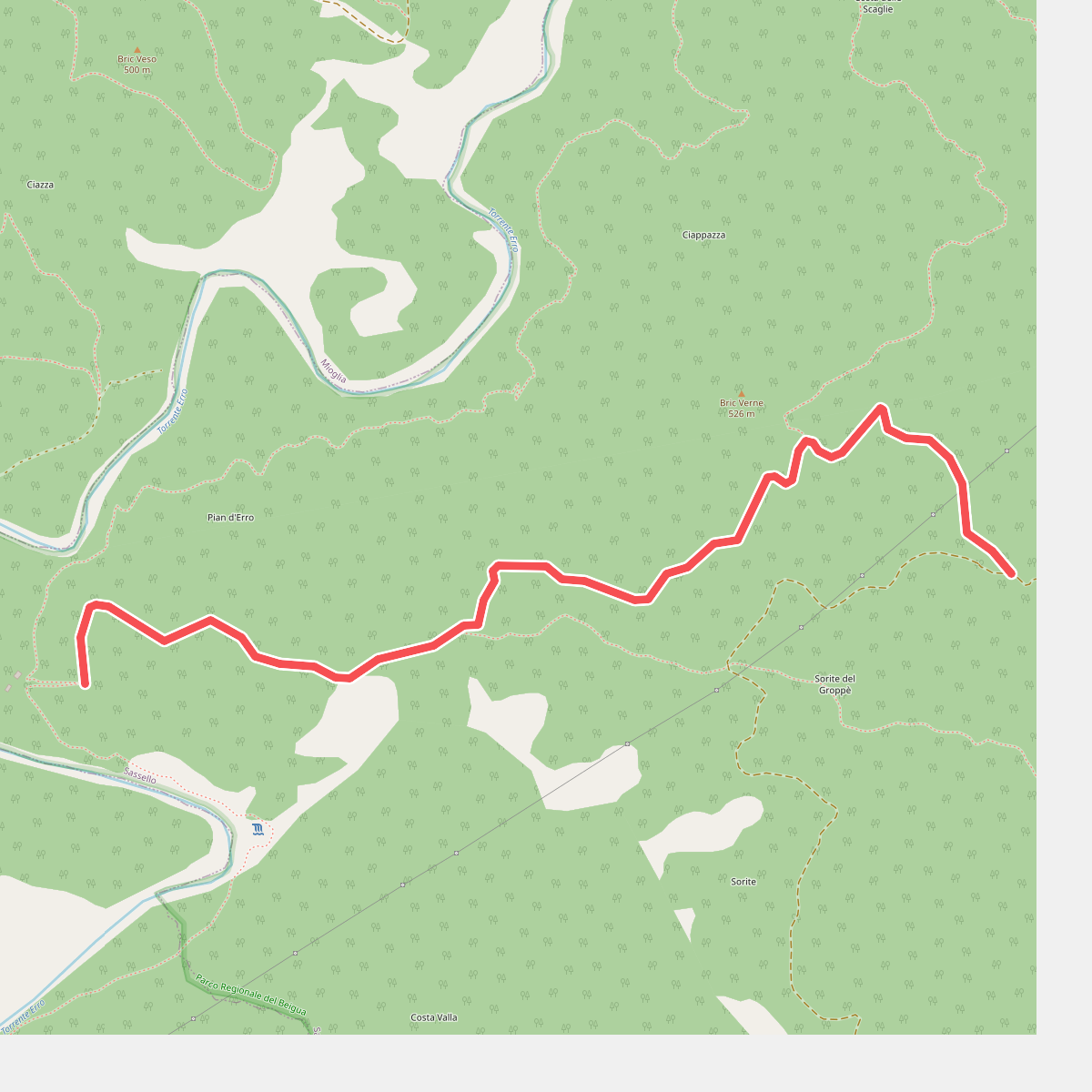
#1. Allacc. Anello Deiva - Pian d'Erro
Sassello
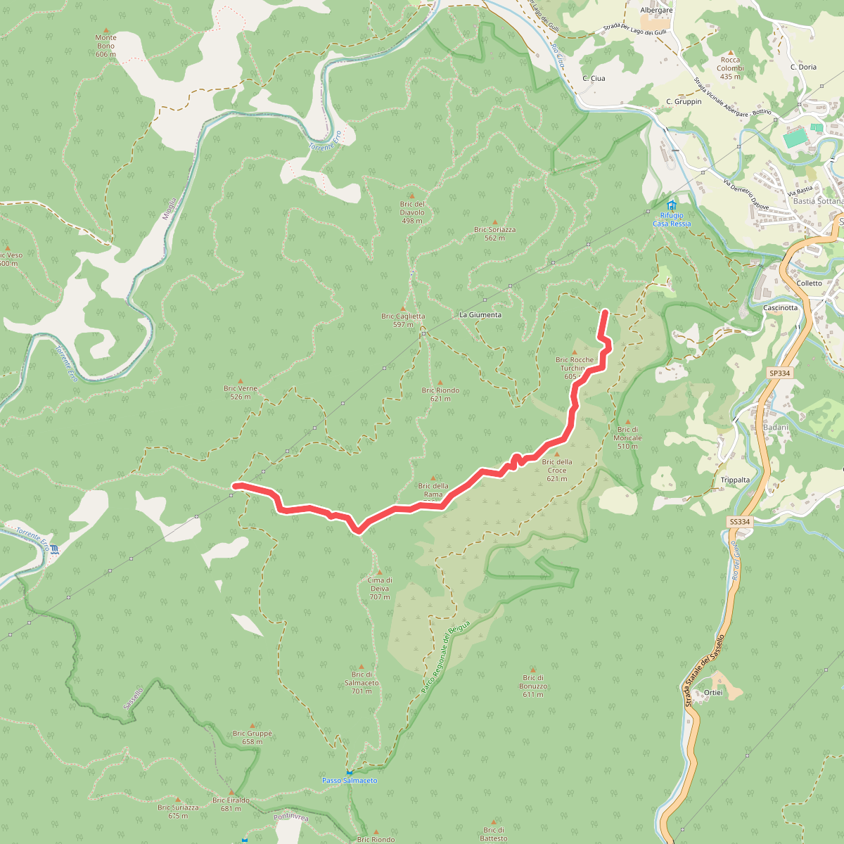
#2. Allacc. Anello Deiva (Rocche Turchine) - Passo della Rama - Allacc. Anello Deiva (Sorite del Groppe)
Sassello
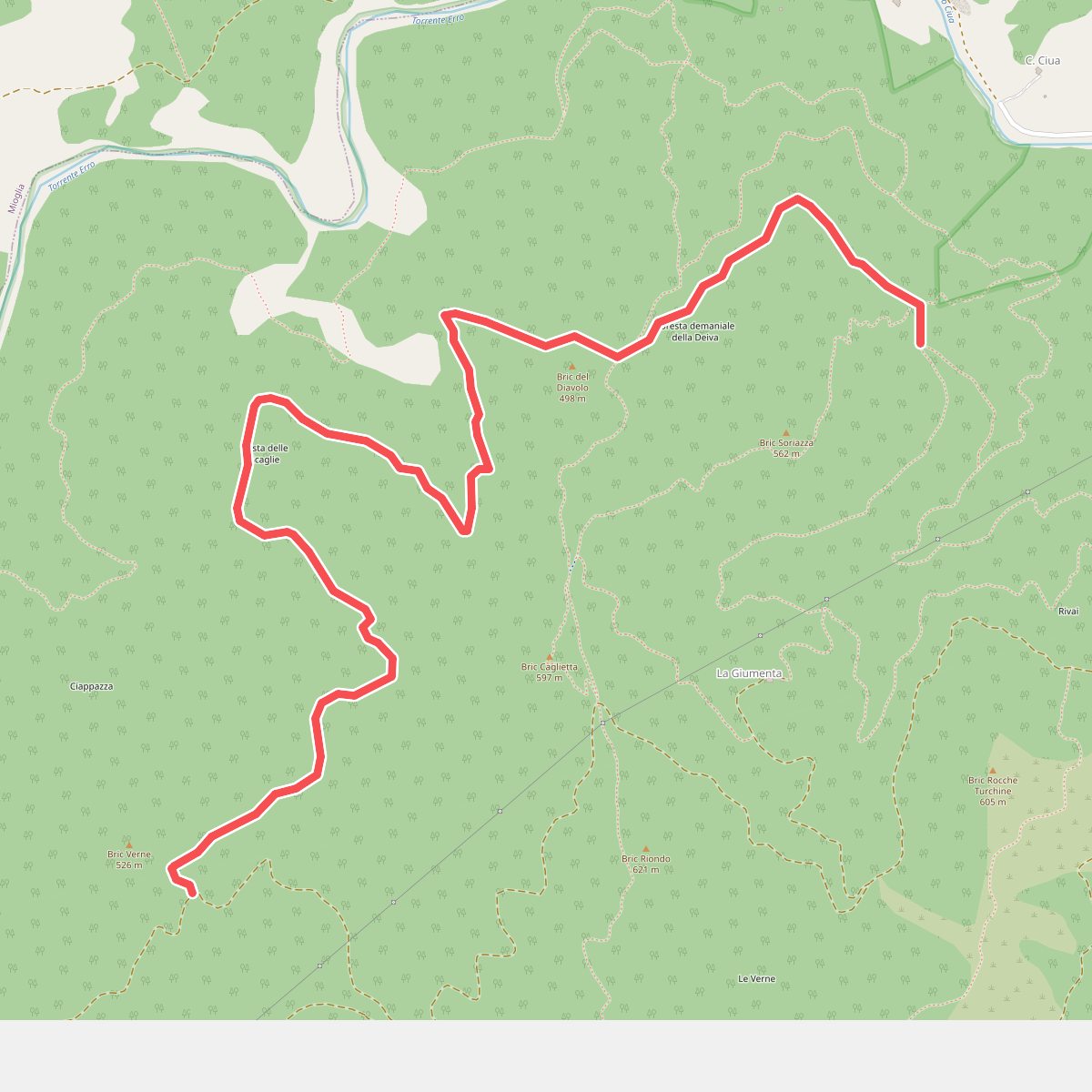
#3. Allacc. Castello Bellavista - Lago dei Gulli - Allacc. Anello Deiva - Pian d'Erro
Sassello
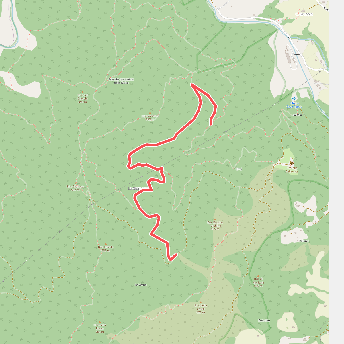
#4. Allacc. Castello Bellavista - Lago dei Gulli - Giumenta - Allacc. Anello Deiva
Sassello
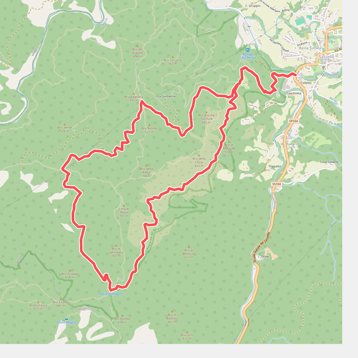
#5. Anello Deiva
Sassello
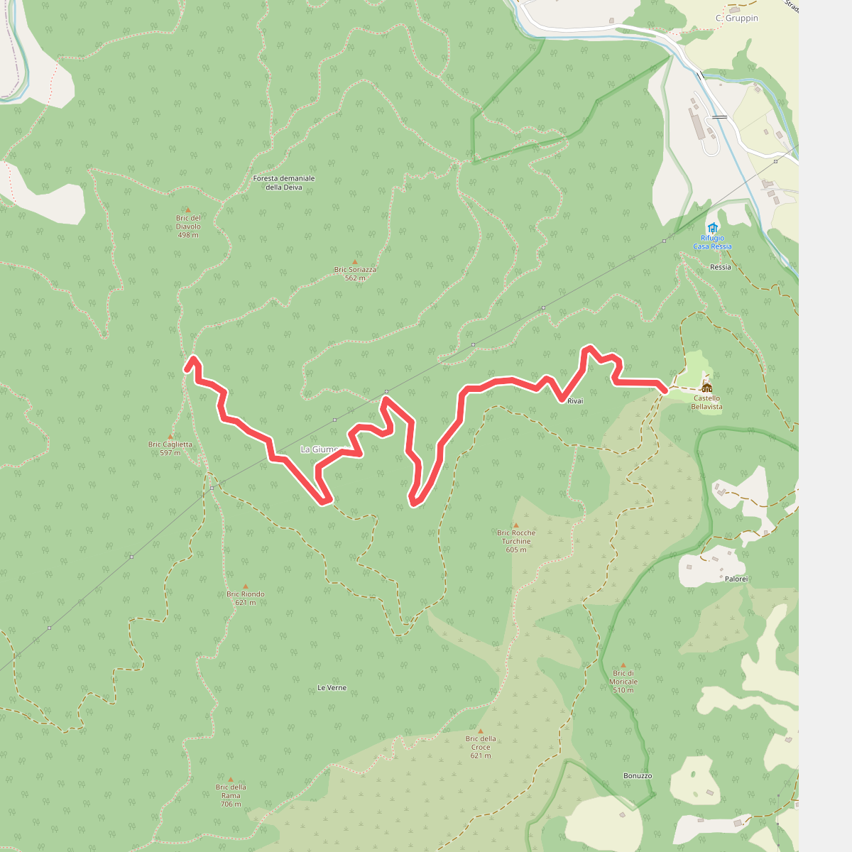
#6. Castello Bellavista - Giumenta - Passo Caghetta
Sassello
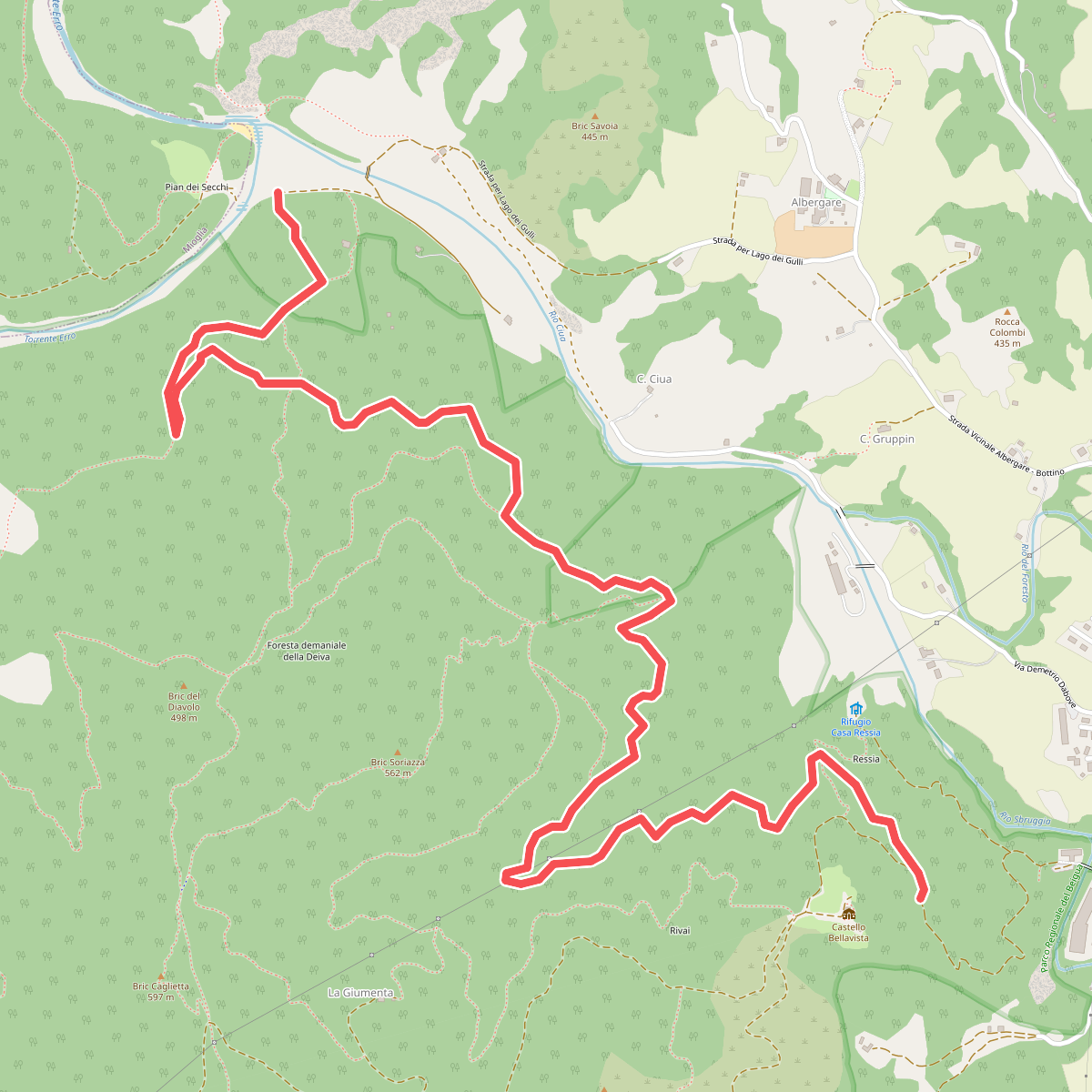
#7. Castello Bellavista - Lago dei Gulli
Sassello
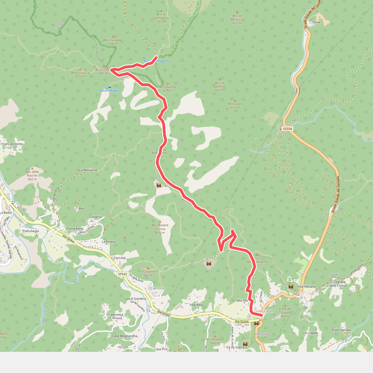
#8. Giovo Ligure - Passo di Salmaceto
Pontinvrea,Sassello
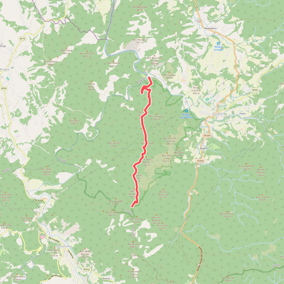
#9. Lago dei Gulli - Passo Caghetta - Cima Deiva - Passo Salmaceto
Sassello
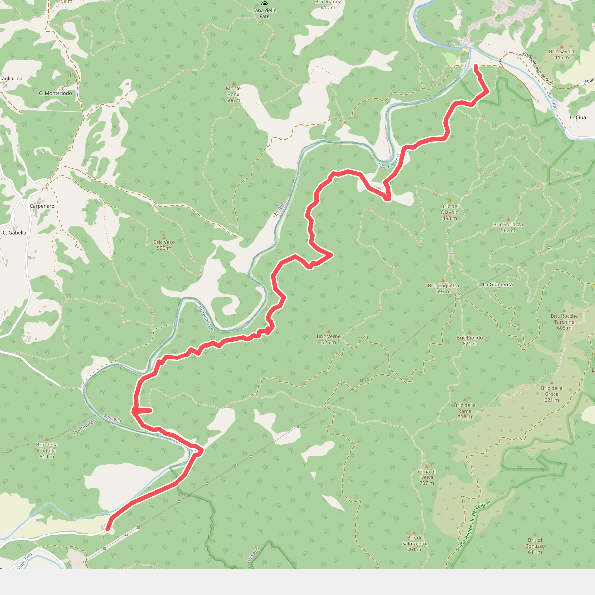
#10. Lago dei Gulli - Pian d'Erro - La Gherpa
Sassello,Pontinvrea




