The best hiking routes in Parc naturel régional des Causses du Quercy
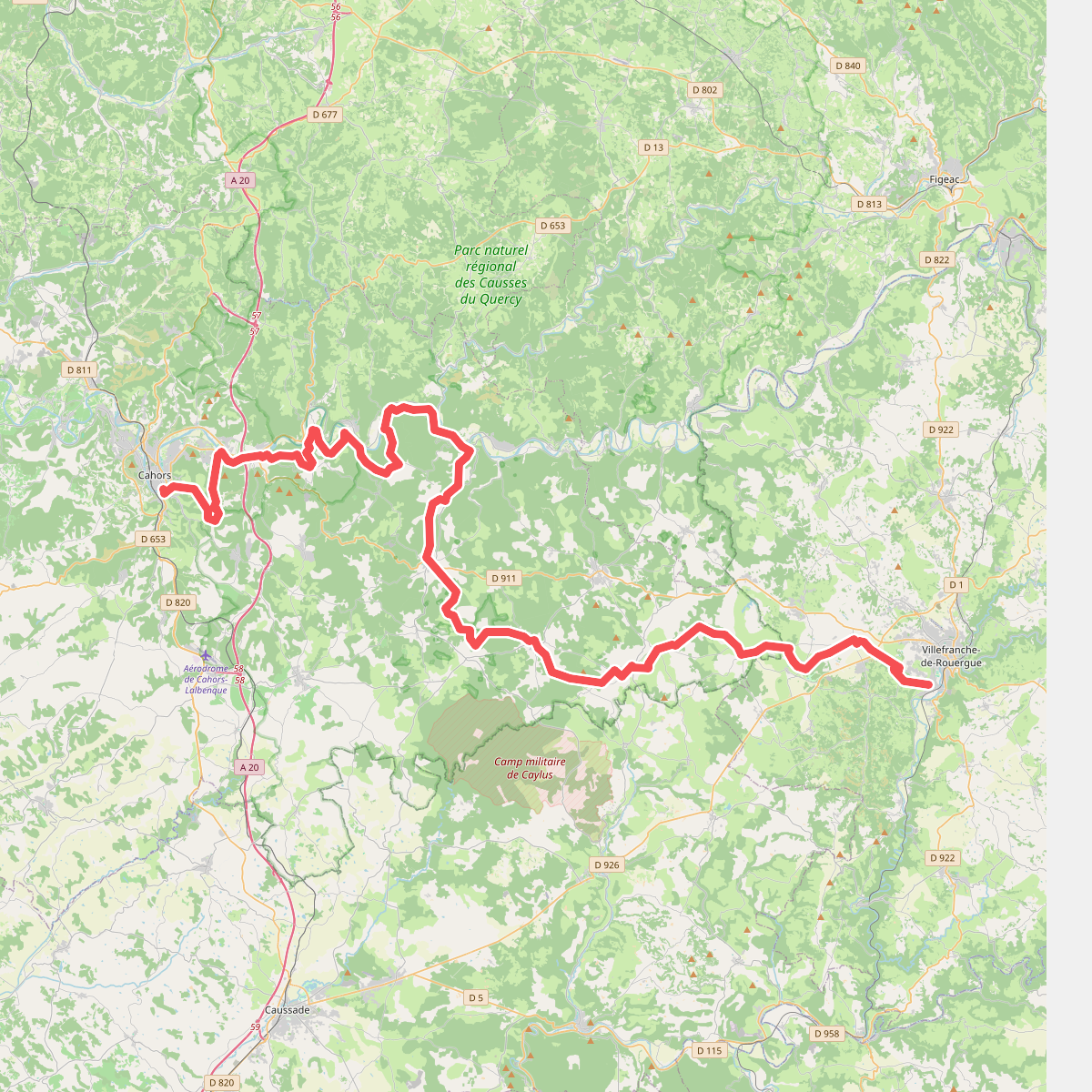
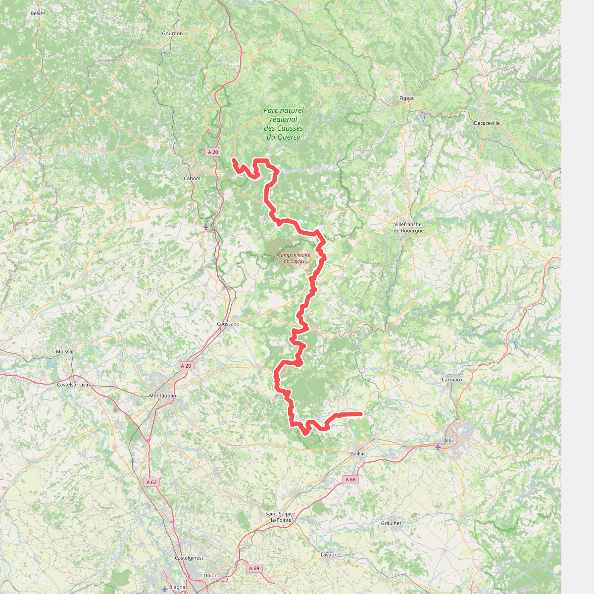
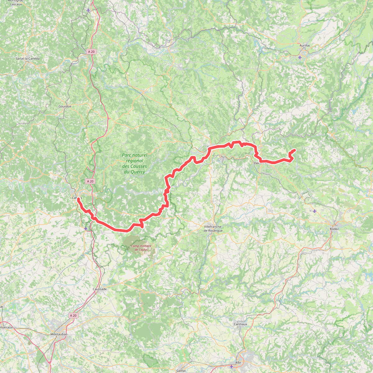
Discover the best walks in Parc naturel régional des Causses du Quercy. 3 routes on the map, with descriptions, photos and GPX.
About Parc naturel régional des Causses du Quercy
The Parc naturel régional des Causses du Quercy is defined by its dry limestone plateaus, known locally as causses, which are cut through by the green valleys of the Lot and Célé rivers. Walking here means navigating a porous landscape where water quickly disappears underground, leaving a surface of pale, stony soil, stunted oak woods, and dry grassland. Underfoot, you will mostly encounter rough, rocky paths and ancient mule tracks bordered by dry-stone walls, rather than soft forest soil or sandy tracks.
Read more
About Parc naturel régional des Causses du Quercy
The Parc naturel régional des Causses du Quercy is defined by its dry limestone plateaus, known locally as causses, which are cut through by the green valleys of the Lot and Célé rivers. Walking here means navigating a porous landscape where water quickly disappears underground, leaving a surface of pale, stony soil, stunted oak woods, and dry grassland. Underfoot, you will mostly encounter rough, rocky paths and ancient mule tracks bordered by dry-stone walls, rather than soft forest soil or sandy tracks.
Read moreThe Parc naturel régional des Causses du Quercy is defined by its dry limestone plateaus, known locally as causses, which are cut through by the green valleys of the Lot and Célé rivers. Walking here means navigating a porous landscape where water quickly disappears underground, leaving a surface of pale, stony soil, stunted oak woods, and dry grassland. Underfoot, you will mostly encounter rough, rocky paths and ancient mule tracks bordered by dry-stone walls, rather than soft forest soil or sandy tracks.
As you walk, the geology is highly visible in the form of deep sinkholes, dry valleys, and exposed limestone cliffs. The vegetation on the high plateaus is scrubby and sparse, dominated by boxwood and wild thyme, which contrasts sharply with the lush, shaded river banks down in the valleys. This is not a landscape of high alpine peaks or vast pine forests, but rather a low, undulating plateau where the elevation changes are short and steep as you descend into the gorges.
In May, the dry grasslands of the causses are marked by wild orchids, while the summer months turn the vegetation yellow and brittle. The paths are generally open and exposed to the elements, with little canopy cover on the high flats. While popular spots like Saint-Cirq-Lapopie draw many visitors, the vast network of paths across the isolated plateaus remains quiet, offering a sparse, mineral landscape that requires sturdy footwear to navigate the sharp, loose stones.