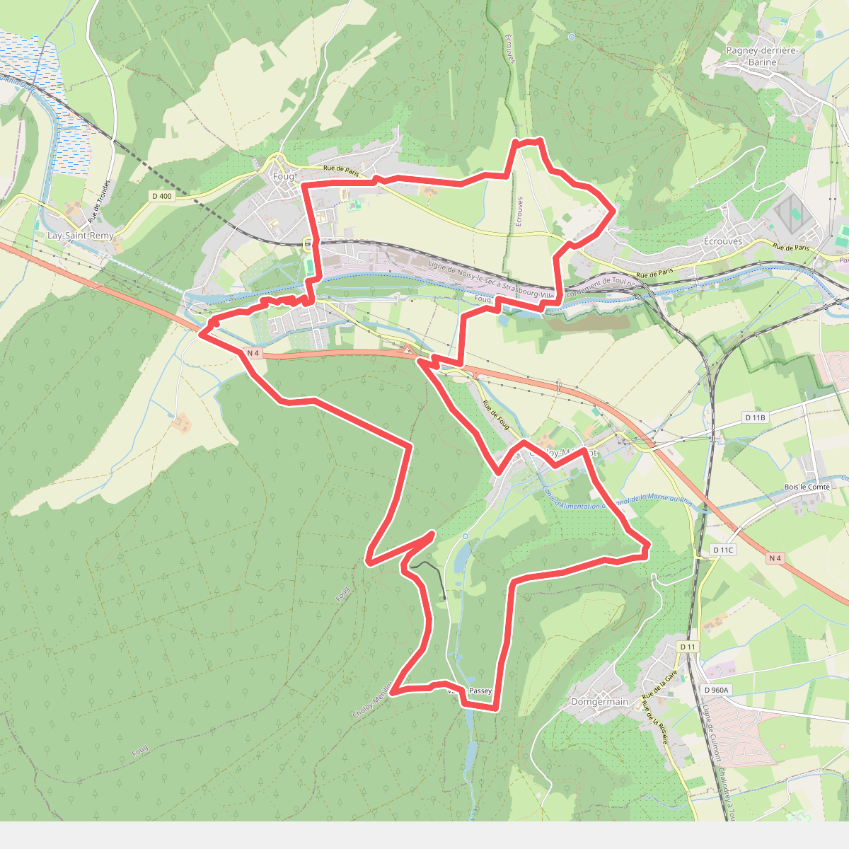
The best hiking routes in Parc naturel régional de Lorraine
Discover the best walks in Parc naturel régional de Lorraine. 98 routes on the map, with descriptions, photos and GPX.
About Parc naturel régional de Lorraine
Parc naturel régional de Lorraine is characterized by its distinct division into two separate sectors, split by the Moselle valley. The western section is defined by the clay soils of the Woëvre plain, where extensive oak forests meet large, shallow lakes like the Lac de Madine. Here, walkers will find flat, often damp clay paths and wooden boardwalks designed for birdwatching. In contrast, the eastern section rises into the limestone ridges of the Côtes de Meuse, offering gently rolling terrain with orchards, vineyards, and drier, stony underfooting. This is not a landscape of dramatic gorges or high peaks, but rather a quiet mix of agricultural plateaus and forested slopes.
Read more
About Parc naturel régional de Lorraine
Parc naturel régional de Lorraine is characterized by its distinct division into two separate sectors, split by the Moselle valley. The western section is defined by the clay soils of the Woëvre plain, where extensive oak forests meet large, shallow lakes like the Lac de Madine. Here, walkers will find flat, often damp clay paths and wooden boardwalks designed for birdwatching. In contrast, the eastern section rises into the limestone ridges of the Côtes de Meuse, offering gently rolling terrain with orchards, vineyards, and drier, stony underfooting. This is not a landscape of dramatic gorges or high peaks, but rather a quiet mix of agricultural plateaus and forested slopes.
Read moreParc naturel régional de Lorraine is characterized by its distinct division into two separate sectors, split by the Moselle valley. The western section is defined by the clay soils of the Woëvre plain, where extensive oak forests meet large, shallow lakes like the Lac de Madine. Here, walkers will find flat, often damp clay paths and wooden boardwalks designed for birdwatching. In contrast, the eastern section rises into the limestone ridges of the Côtes de Meuse, offering gently rolling terrain with orchards, vineyards, and drier, stony underfooting. This is not a landscape of dramatic gorges or high peaks, but rather a quiet mix of agricultural plateaus and forested slopes.
As you walk, the landscape reveals its history through its vegetation and water management. The numerous ponds and reservoirs were originally created by medieval monks for fish farming, a feature still visible in the dykes and sluices along the trails. On the limestone slopes, the open grasslands are the result of centuries of sheep grazing, which keeps the soil nutrient-poor and allows wild orchids to thrive. In the forested areas, the transition from beech trees on the drier ridges to damp-loving alders in the valleys indicates the shifting water table beneath your feet.
In late August and September, the orchards of the Côtes de Meuse are heavy with mirabelle plums, marking a distinct seasonal shift in the rural landscape. While the popular lakeside paths around Madine can be busy with cyclists and families, the forested trails in the western clay valleys offer a much quieter walking experience. Walkers should expect a mix of soft forest earth, gravel agricultural tracks, and occasional muddy sections in the low-lying plains.
Hiking routes in Parc naturel régional de Lorraine (98)
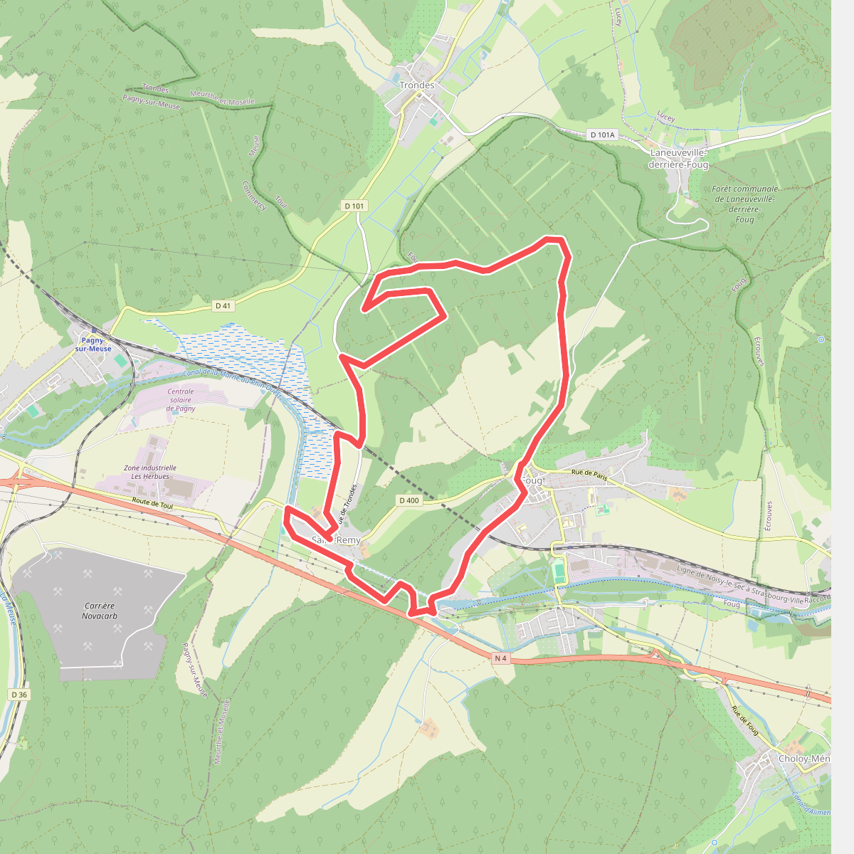
#1. À la Croisée des Chemins
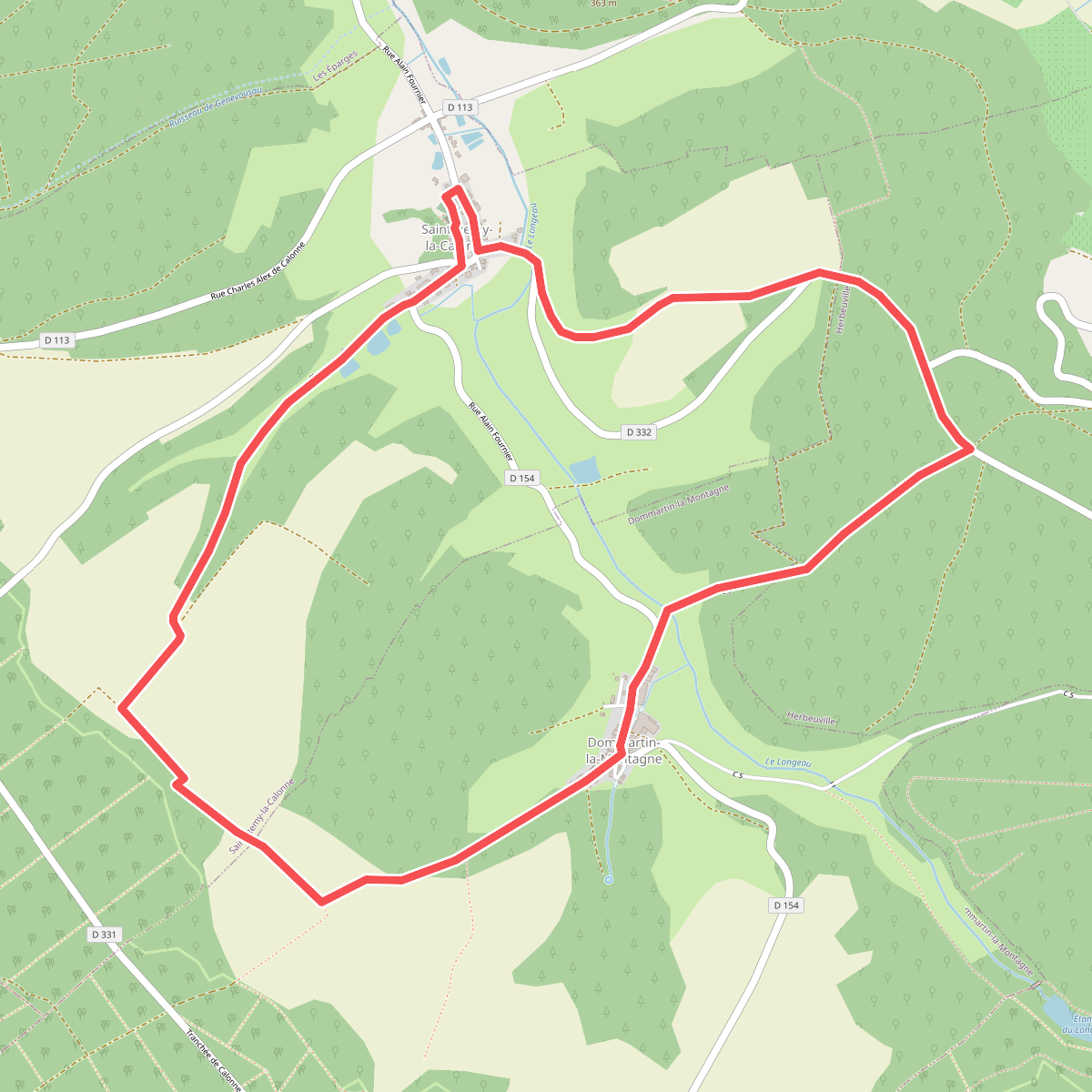
#2. A la rencontre d'Alain-Fournier
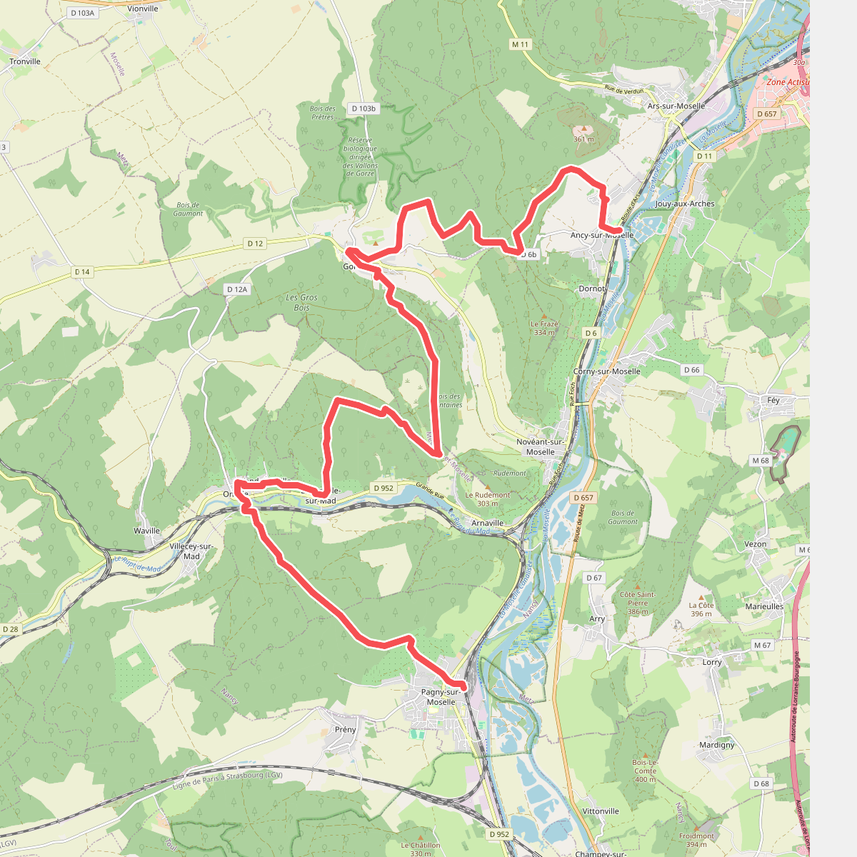
#3. Ancy-Dornot - Pagny-sur-Moselle · GR5 etappe 35
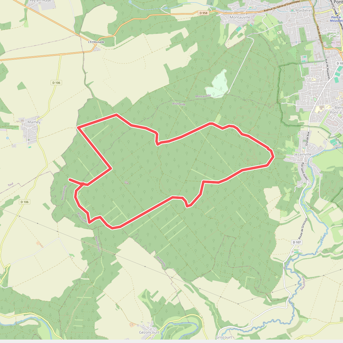
#4. Boucle de la Croix des Charbonniers
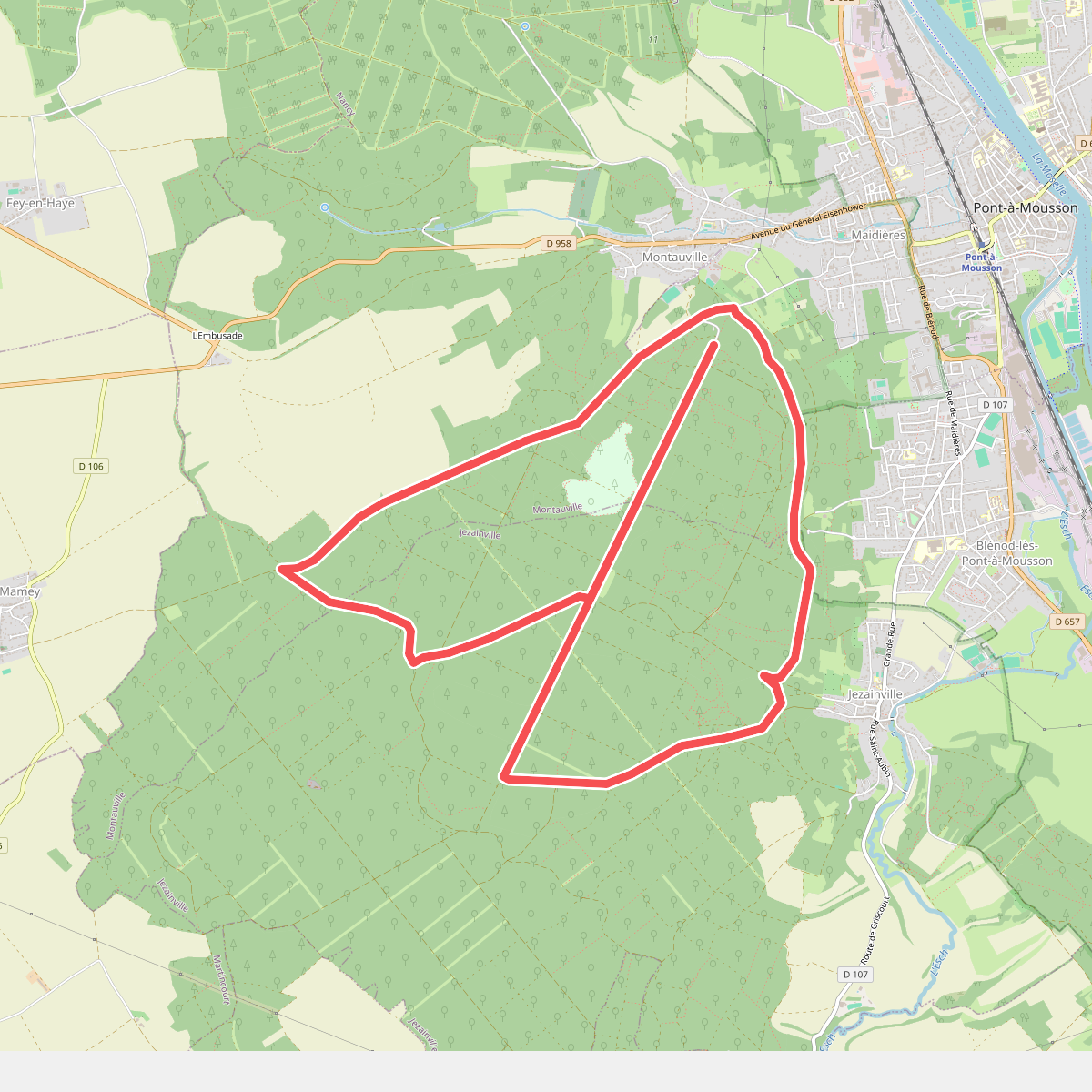
#5. Boucle de la Fontaine des Corbeaux
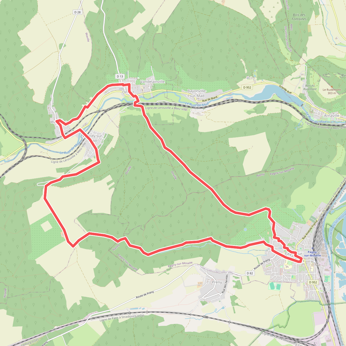
#6. Boucle de la grange en Haye
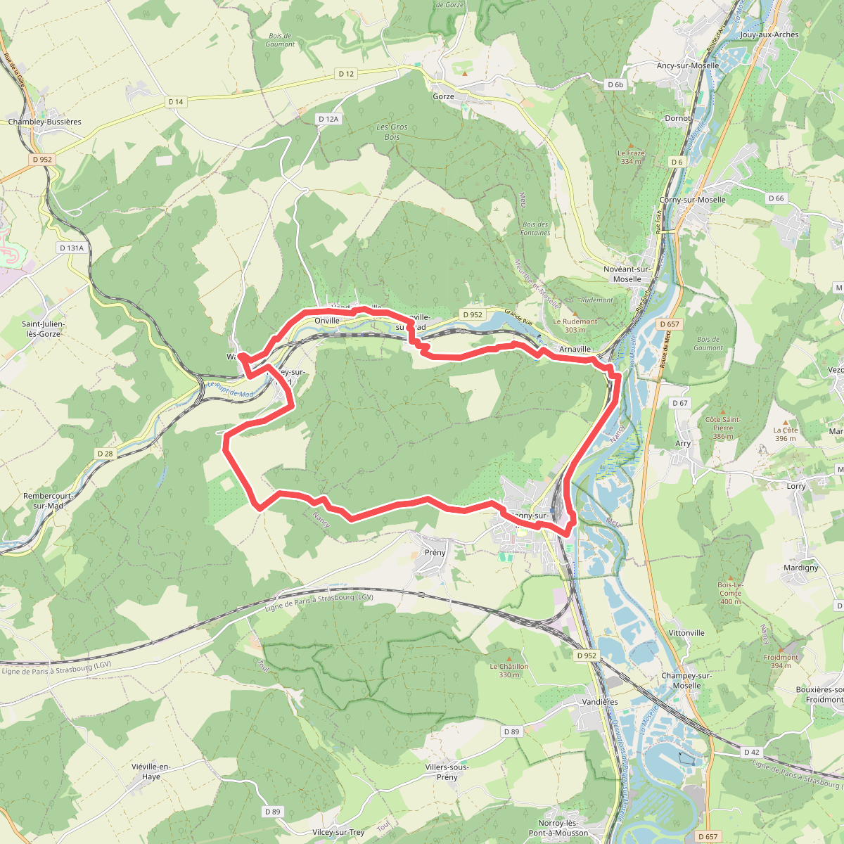
#7. Boucle de la Moselle et du Rupt de Mad
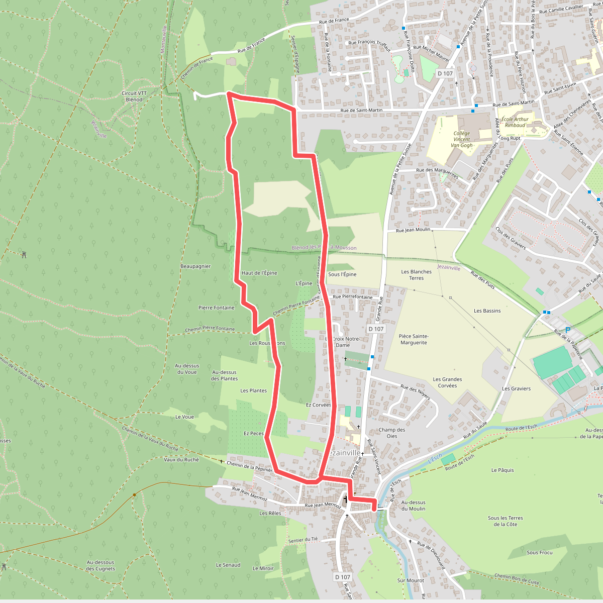
#8. Boucle de l'Epine
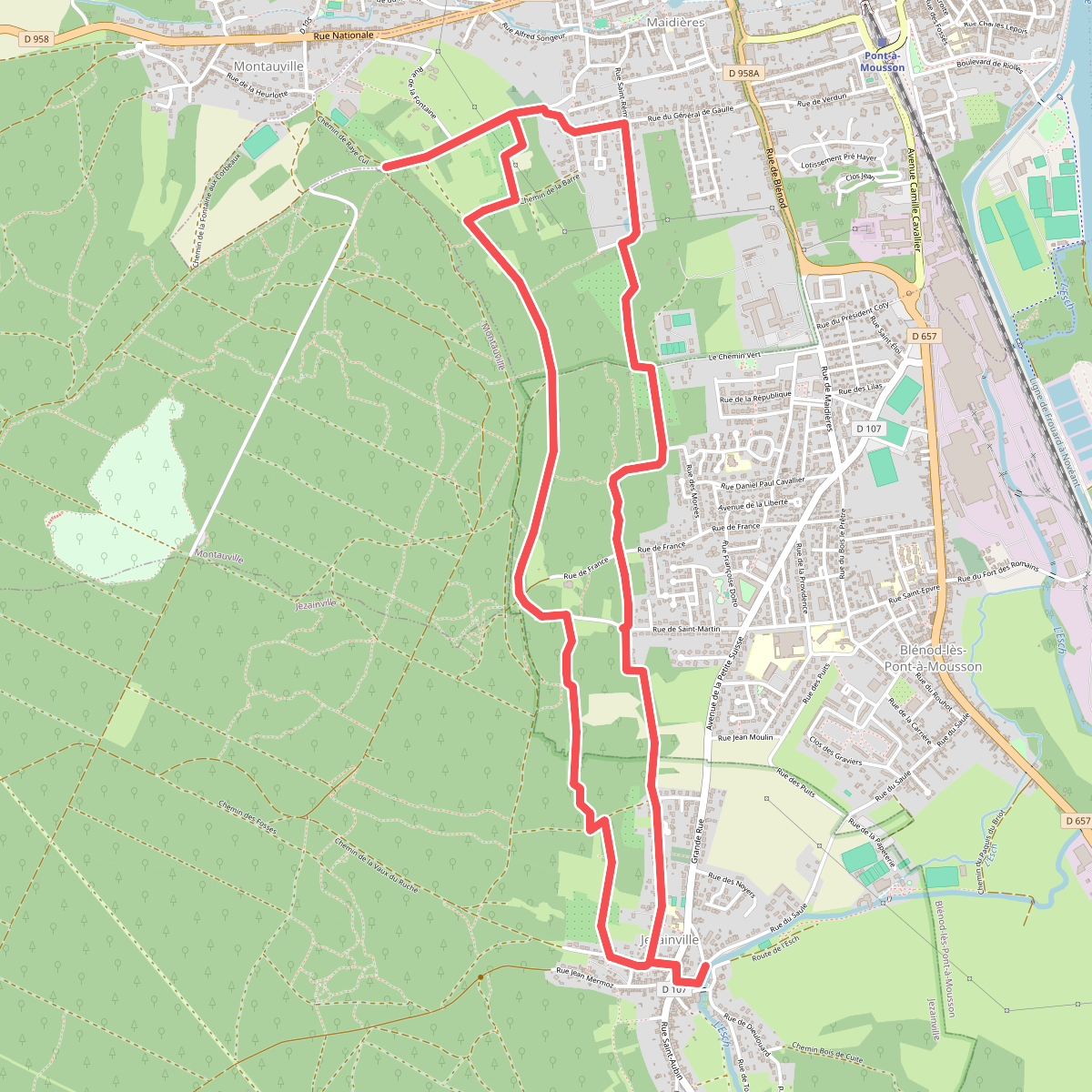
#9. Boucle de Puvenelle
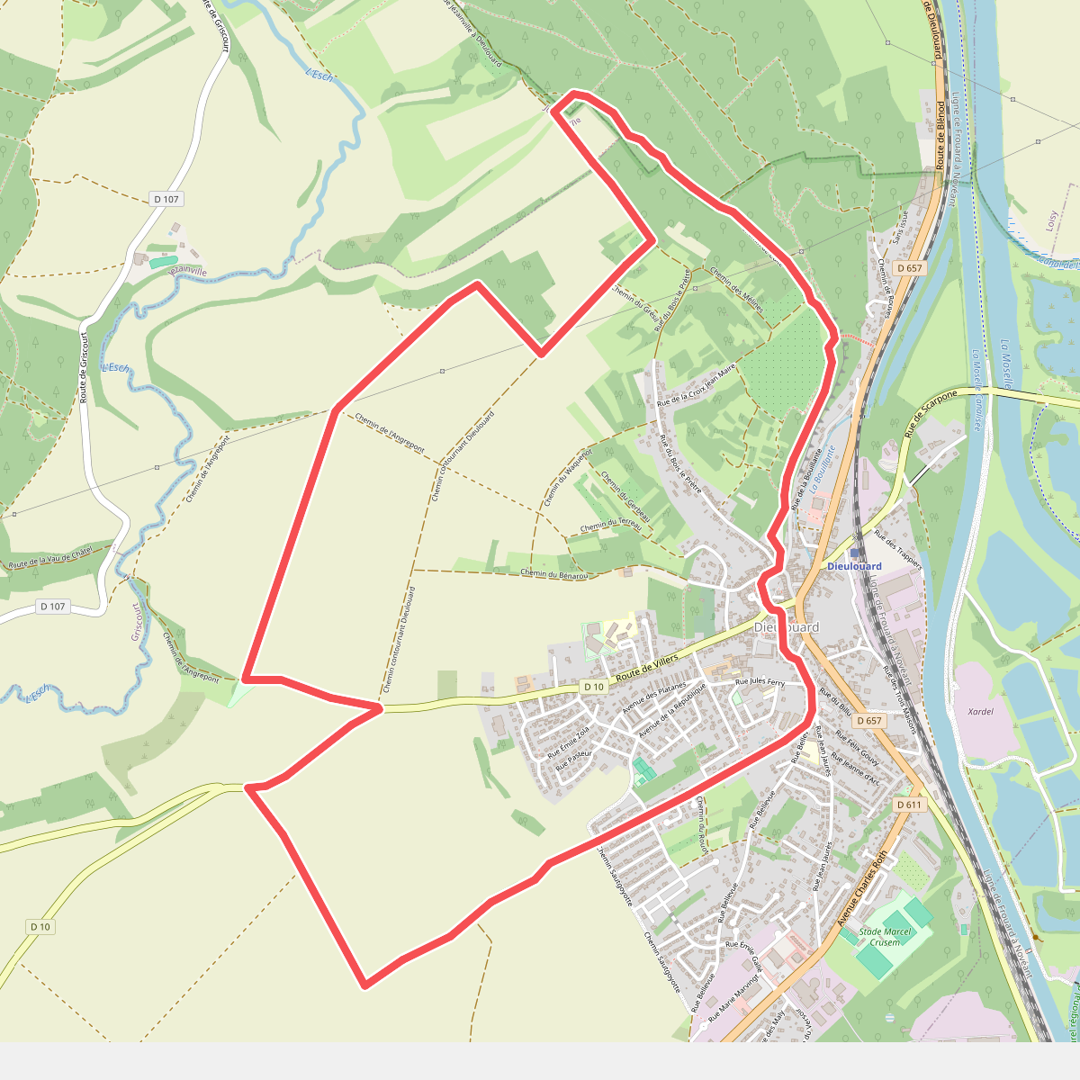
#10. Boucle des Airs
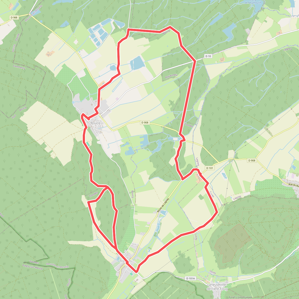
#11. Boucle des Moulins