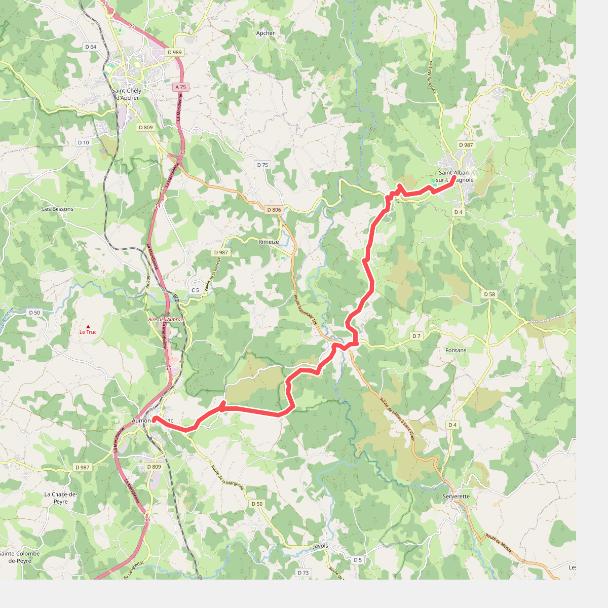
The best hiking routes in Parc naturel régional de l'Aubrac
Discover the best walks in Parc naturel régional de l'Aubrac. 17 routes on the map, with descriptions, photos and GPX.
About Parc naturel régional de l'Aubrac
The Parc naturel régional de l'Aubrac is a high volcanic and granitic plateau, characterized by vast, undulating pastures rather than dramatic peaks or deep gorges. Walking here means traversing open, grassy expanses situated between 1,000 and 1,400 meters above sea level, where the horizon is shaped by gentle domes and low stone walls called drailles. These ancient stone-lined tracks, historically used for moving cattle, dictate many of the walking routes.
Read more
About Parc naturel régional de l'Aubrac
The Parc naturel régional de l'Aubrac is a high volcanic and granitic plateau, characterized by vast, undulating pastures rather than dramatic peaks or deep gorges. Walking here means traversing open, grassy expanses situated between 1,000 and 1,400 meters above sea level, where the horizon is shaped by gentle domes and low stone walls called drailles. These ancient stone-lined tracks, historically used for moving cattle, dictate many of the walking routes.
Read moreThe Parc naturel régional de l'Aubrac is a high volcanic and granitic plateau, characterized by vast, undulating pastures rather than dramatic peaks or deep gorges. Walking here means traversing open, grassy expanses situated between 1,000 and 1,400 meters above sea level, where the horizon is shaped by gentle domes and low stone walls called drailles. These ancient stone-lined tracks, historically used for moving cattle, dictate many of the walking routes.
Underfoot, the terrain alternates between firm, weathered granite tracks and spongy peat bogs, particularly around the natural glacial lakes like Lac de Saint-Andéol. In May, the pastures transform as wild daffodils and narcissi bloom across the damp grasslands, a distinct feature of this high-altitude basalt plateau. The lack of dense forest cover means walkers are exposed to the elements, with trees mostly limited to isolated beech groves on the slopes.
This landscape is shaped entirely by traditional pastoral farming, which keeps the scrub from taking over. While the main paths like the Chemin de Saint-Jacques can be busy with pilgrims, the side trails across the communal pastures offer a much quieter experience of this rural, working plateau.
Hiking routes in Parc naturel régional de l'Aubrac (17)
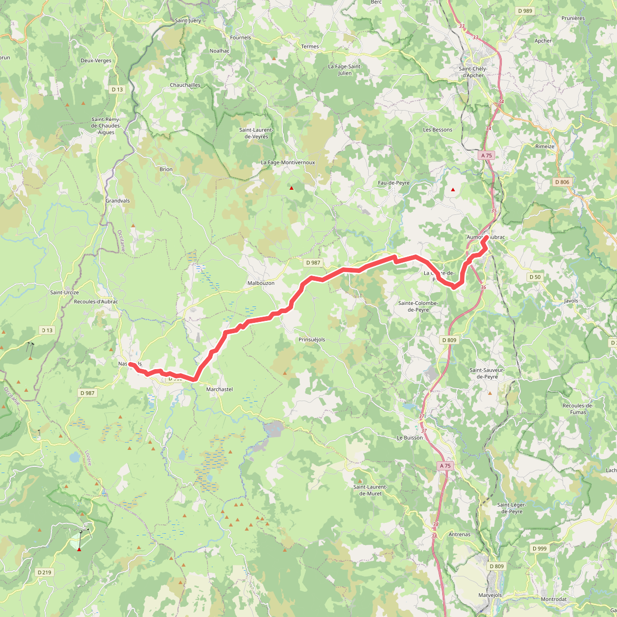
#1. CSG 01 : Aumont-Aubrac - Nasbinals
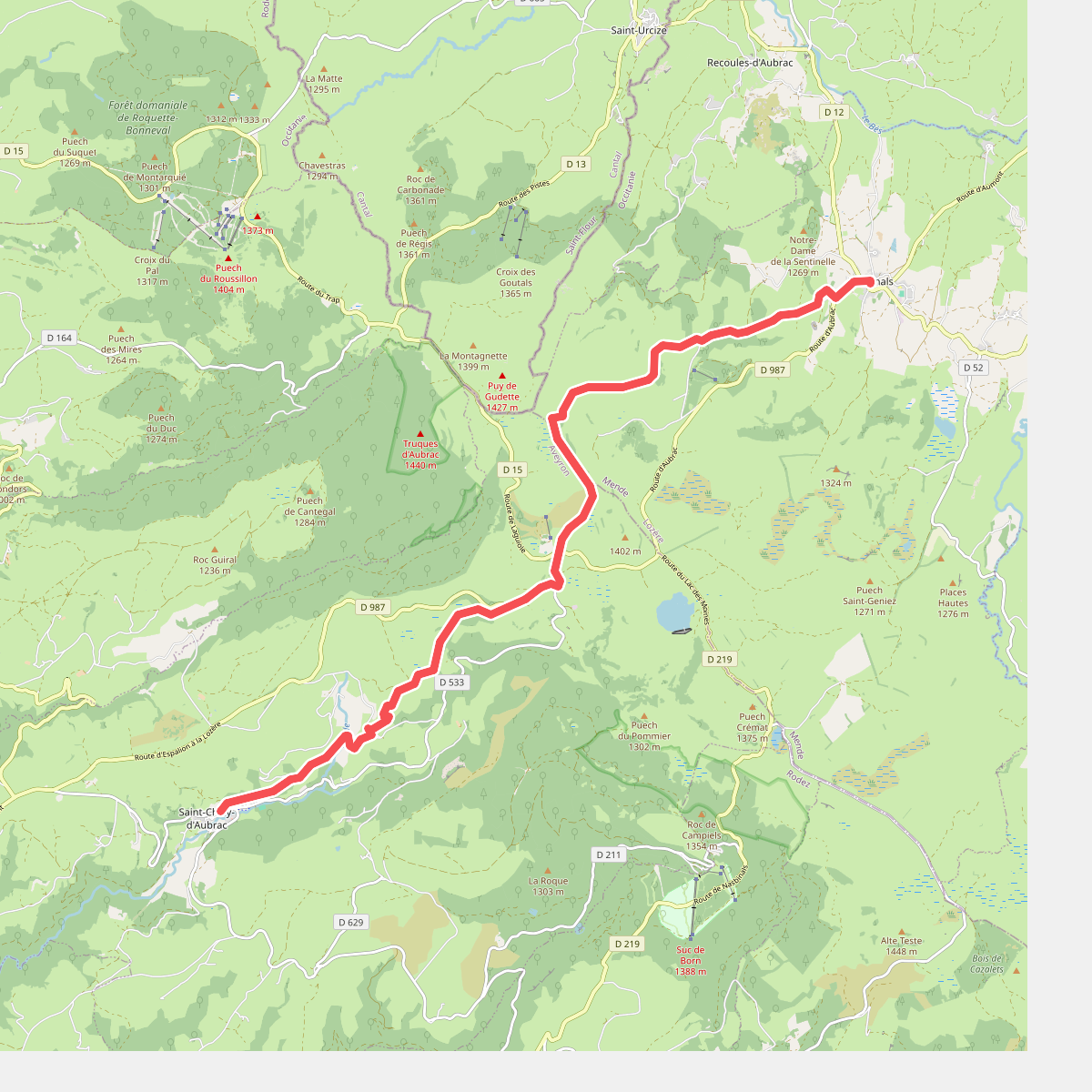
#2. CSG 02 : Nasbinals - Saint-Chély-d'Aubrac
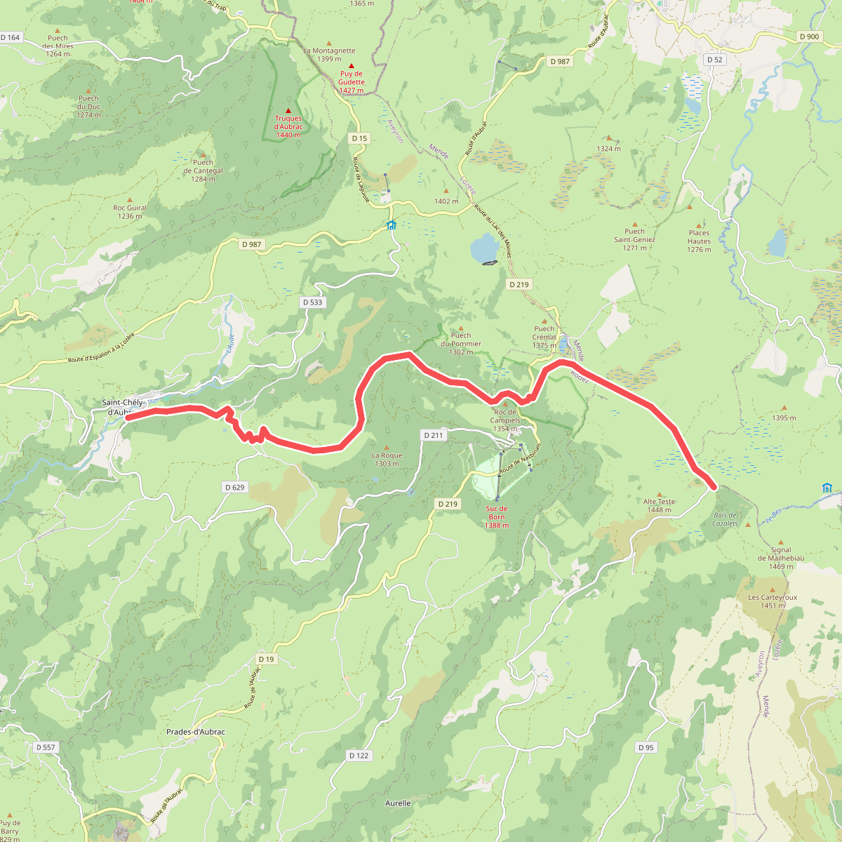
#3. CSG 03C2 : Saint-Chély-d'Aubrac cimetière - Croix de Rode
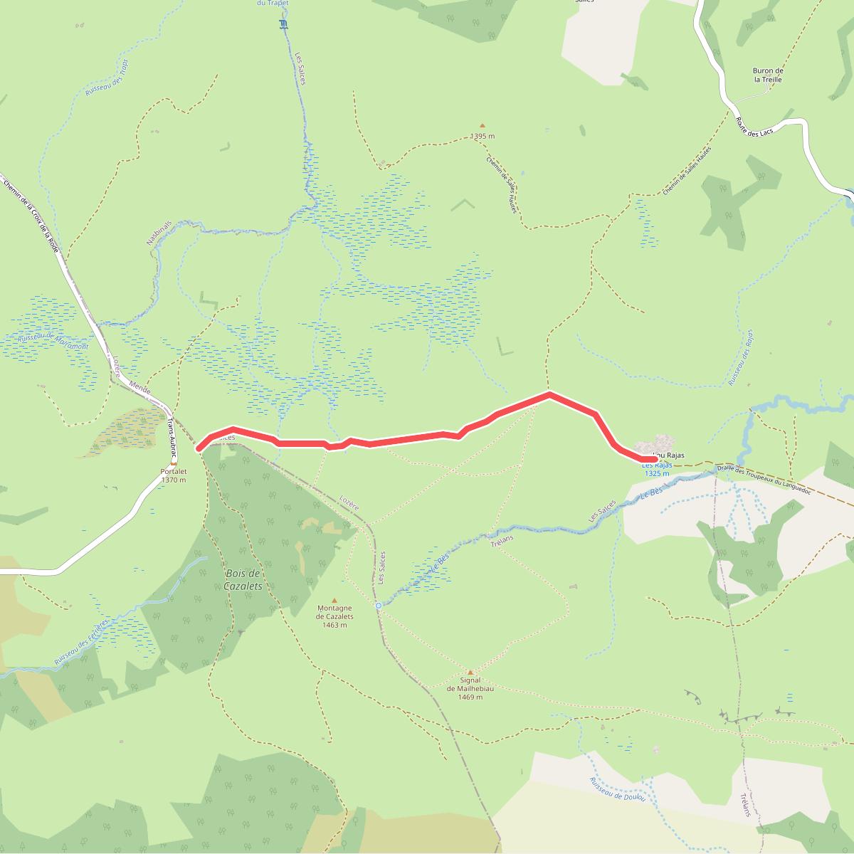
#4. CSG 03C3 : Croix de Rode - Refuge du Rajas
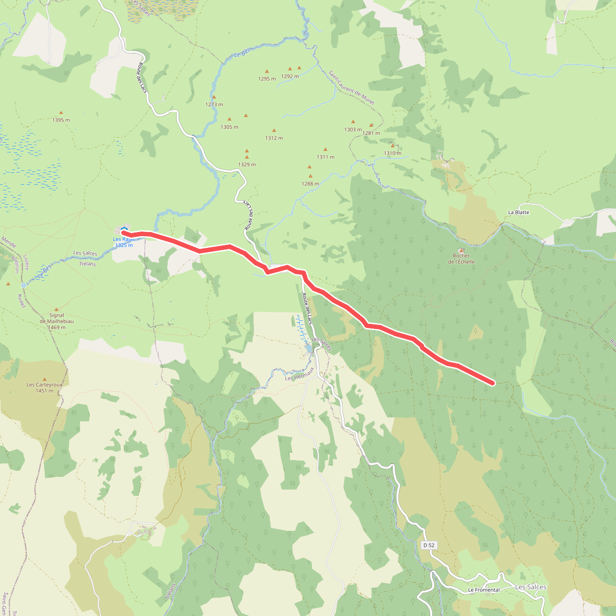
#5. CSG 04C1 : Refuge du Rajas - Carrefour TMA
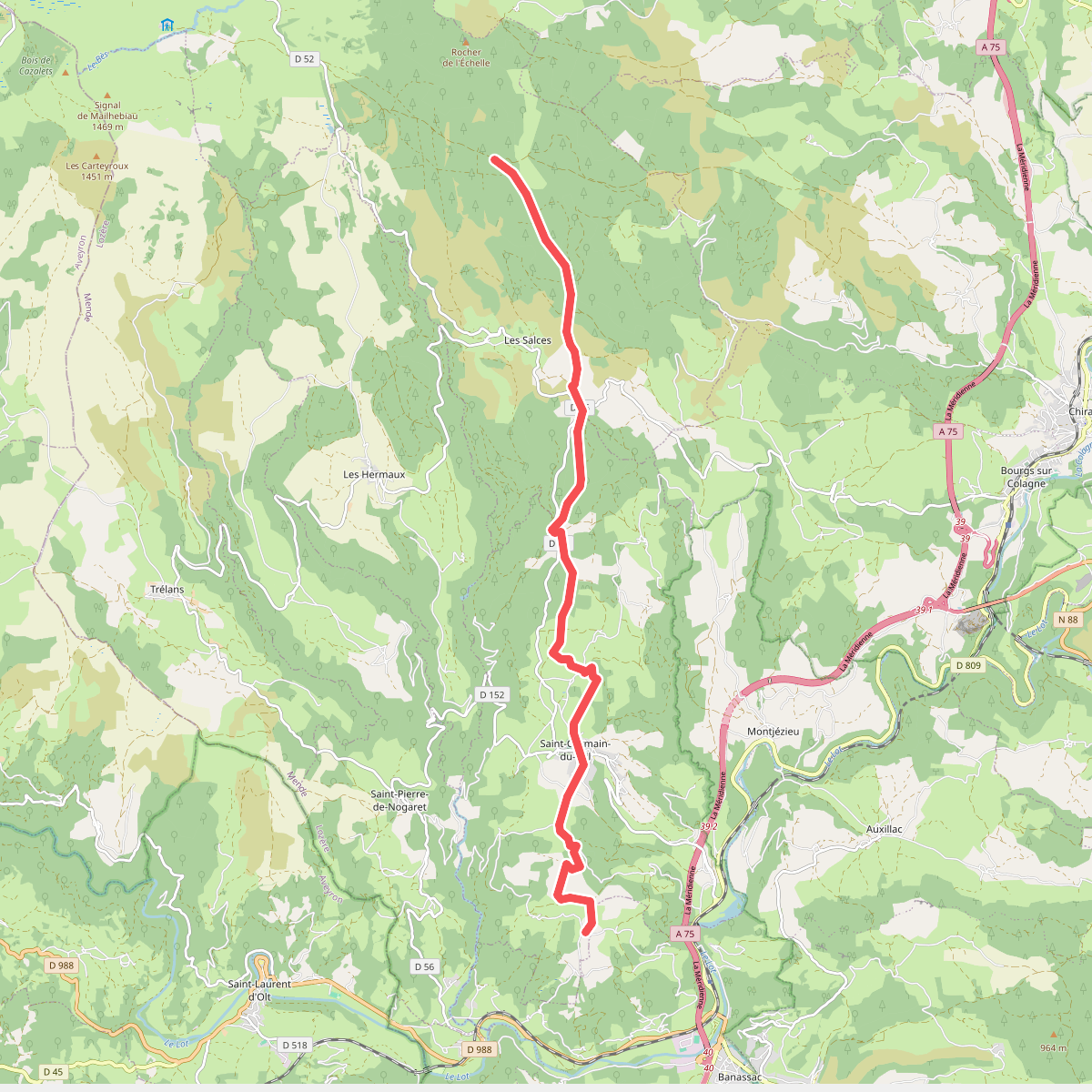
#6. CSG 04C2 : Carrefour TMA - Carrefour GR
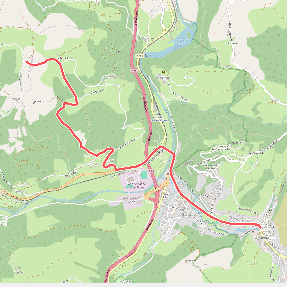
#7. CSG 04C3 : Carrefour GR - La Canourgue
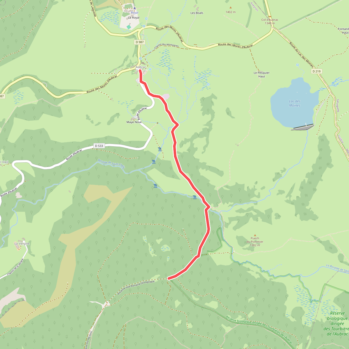
#8. CSG V1 : Aumont-Aubrac - Croix de la Vaysse
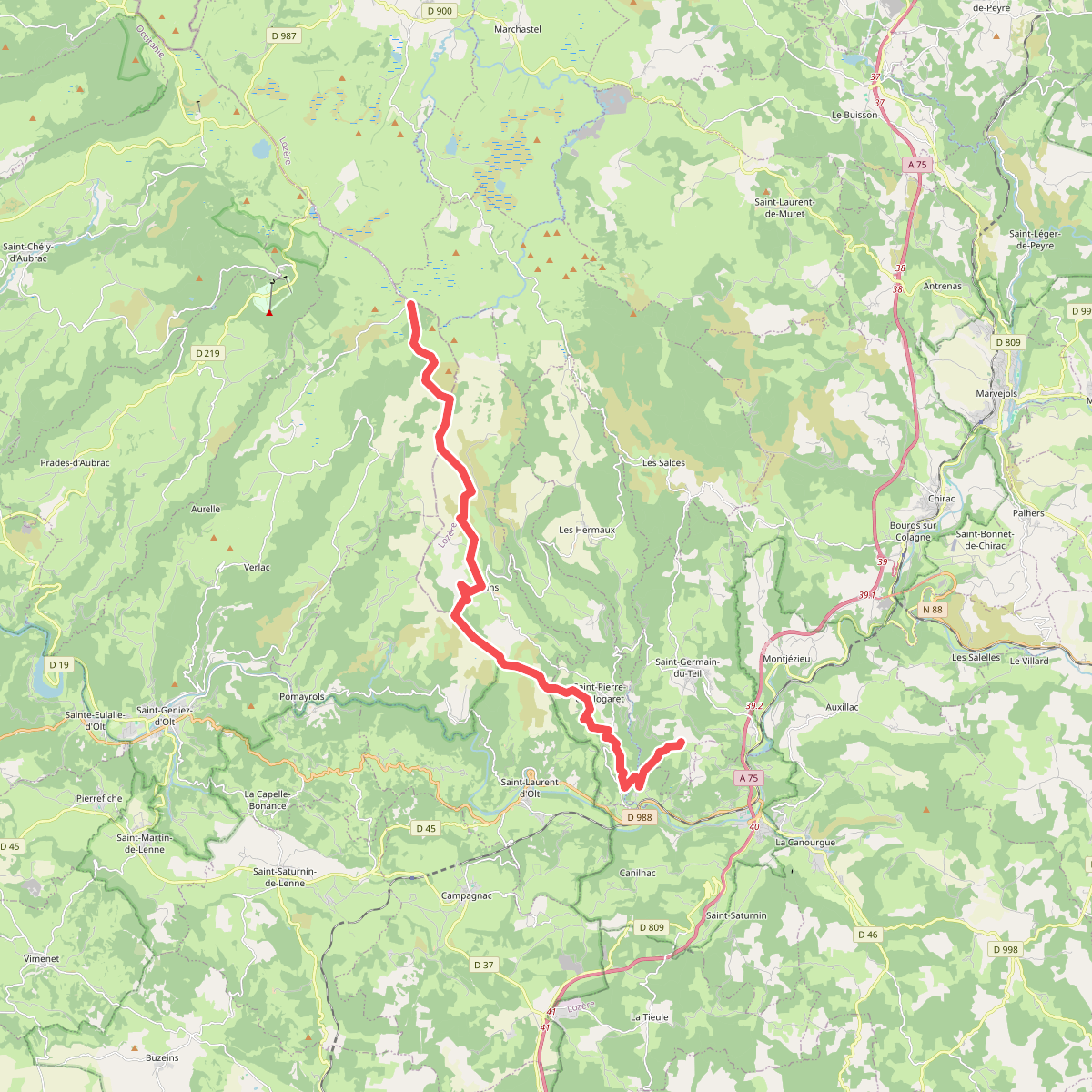
#9. CSG V2 : Croix de la Rode - Croix du Pré de Bourgade
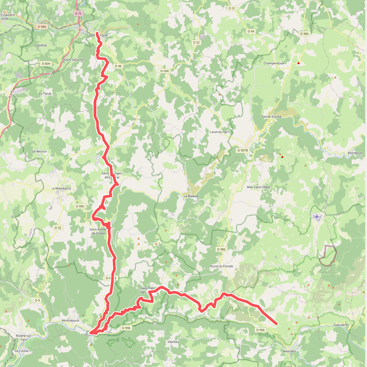
#10. CSG V3 : La Canourgue - Croix de la Croisette
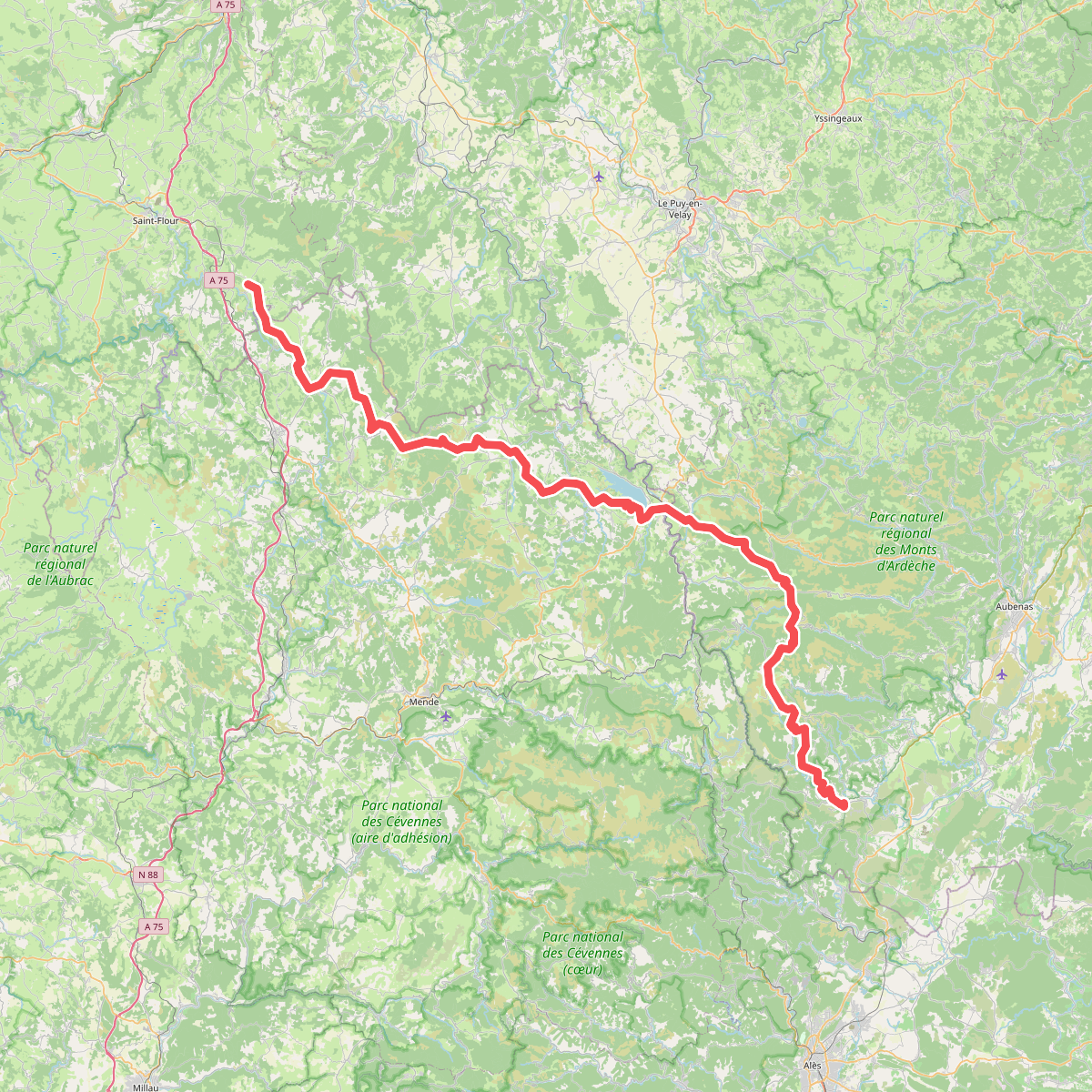
#11. De la Méditerranée à l'Océan · relation 20598291