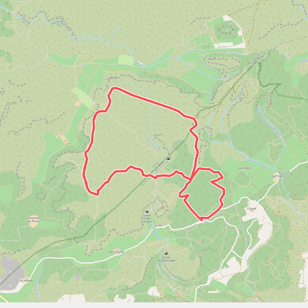
The best hiking routes in Parc naturel régional de la Narbonnaise en Méditerranée
Discover the best walks in Parc naturel régional de la Narbonnaise en Méditerranée. 27 routes on the map, with descriptions, photos and GPX.
About Parc naturel régional de la Narbonnaise en Méditerranée
The Parc naturel régional de la Narbonnaise en Méditerranée is a landscape of low-lying contrasts, where brackish lagoons, dry limestone massifs, and salt marshes sit side by side. Walking here means choosing between two distinct terrains. On the Massif de la Clape, you will follow stony, rough limestone tracks through low scrubby garrigue, surrounded by Aleppo pines and steep rocky cliffs. In contrast, the paths around the étangs, such as the Étang de Bages-Sigean, are flat, clayey dirt tracks and occasional wooden boardwalks that skirt the water's edge and the active salt pans of Gruissan.
Read more
About Parc naturel régional de la Narbonnaise en Méditerranée
The Parc naturel régional de la Narbonnaise en Méditerranée is a landscape of low-lying contrasts, where brackish lagoons, dry limestone massifs, and salt marshes sit side by side. Walking here means choosing between two distinct terrains. On the Massif de la Clape, you will follow stony, rough limestone tracks through low scrubby garrigue, surrounded by Aleppo pines and steep rocky cliffs. In contrast, the paths around the étangs, such as the Étang de Bages-Sigean, are flat, clayey dirt tracks and occasional wooden boardwalks that skirt the water's edge and the active salt pans of Gruissan.
Read moreThe Parc naturel régional de la Narbonnaise en Méditerranée is a landscape of low-lying contrasts, where brackish lagoons, dry limestone massifs, and salt marshes sit side by side. Walking here means choosing between two distinct terrains. On the Massif de la Clape, you will follow stony, rough limestone tracks through low scrubby garrigue, surrounded by Aleppo pines and steep rocky cliffs. In contrast, the paths around the étangs, such as the Étang de Bages-Sigean, are flat, clayey dirt tracks and occasional wooden boardwalks that skirt the water's edge and the active salt pans of Gruissan.
This landscape is shaped by its proximity to the sea and centuries of salt production. Along the lagoon edges, the ground is often encrusted with white salt crystals, and the vegetation is dominated by low, fleshy glasswort plants that can tolerate the high salinity. The lack of shade is a defining feature of the coastal paths, whereas the pine woods of the limestone hills offer some cover from the sun. You will not find high mountain peaks or deep river valleys here; the elevation changes are modest, with the highest points on the Clape offering views over the flat lagoons rather than alpine vistas.
Underfoot, the limestone paths are hard, uneven, and loose under a boot, requiring careful stepping to avoid twisting an ankle on the stones. The lagoon paths are generally level but can become sticky clay after rain. In late spring, particularly in May, the salt marshes are vibrant with nesting birds, while the dry garrigue is at its most colorful with flowering rosemary and cistus before the summer heat dries the vegetation toilsome vegetation.
Hiking routes in Parc naturel régional de la Narbonnaise en Méditerranée (27)
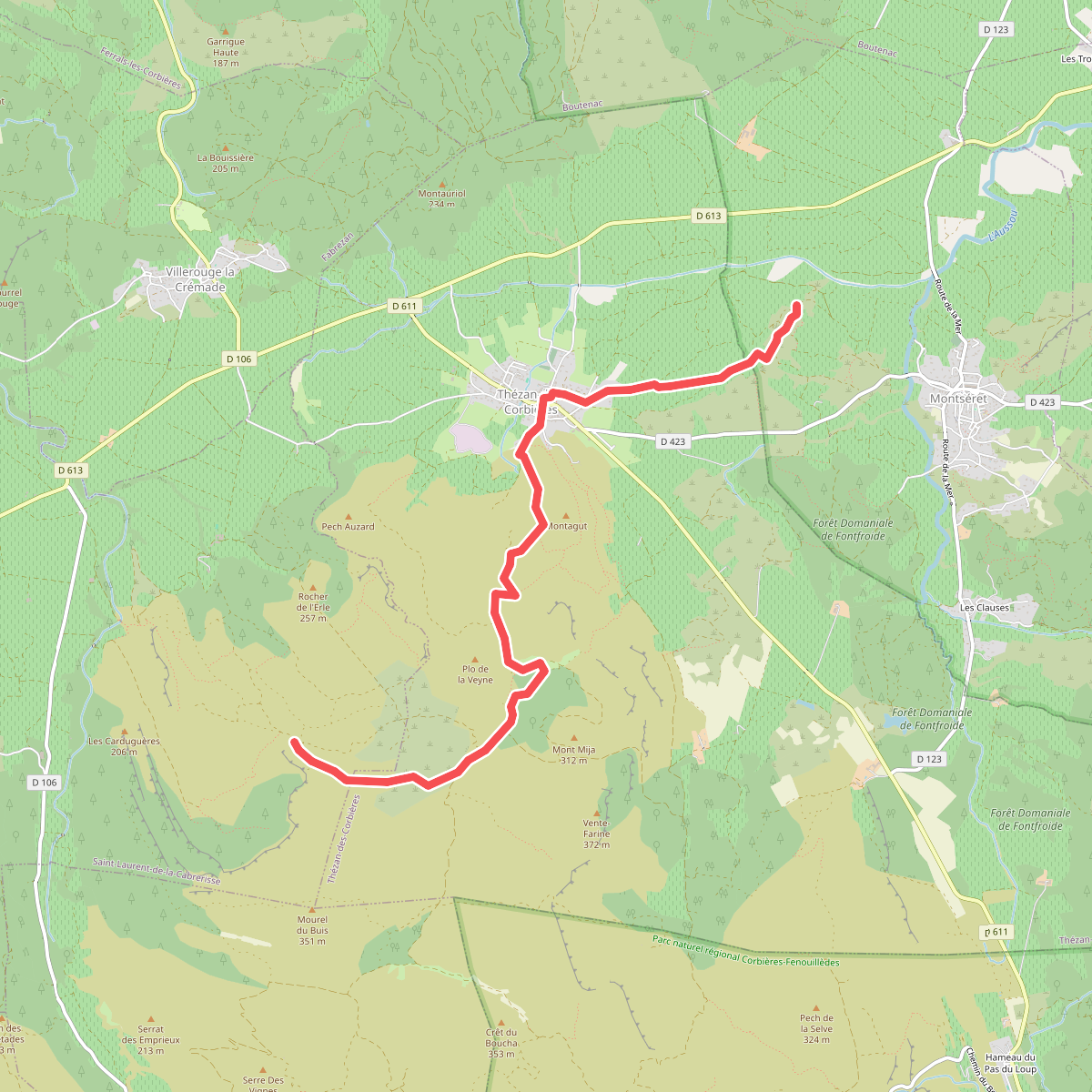
#1. Aude Romaine et Médiévale
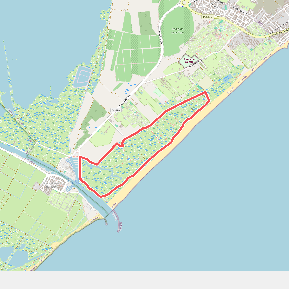
#2. Boucle du littoral
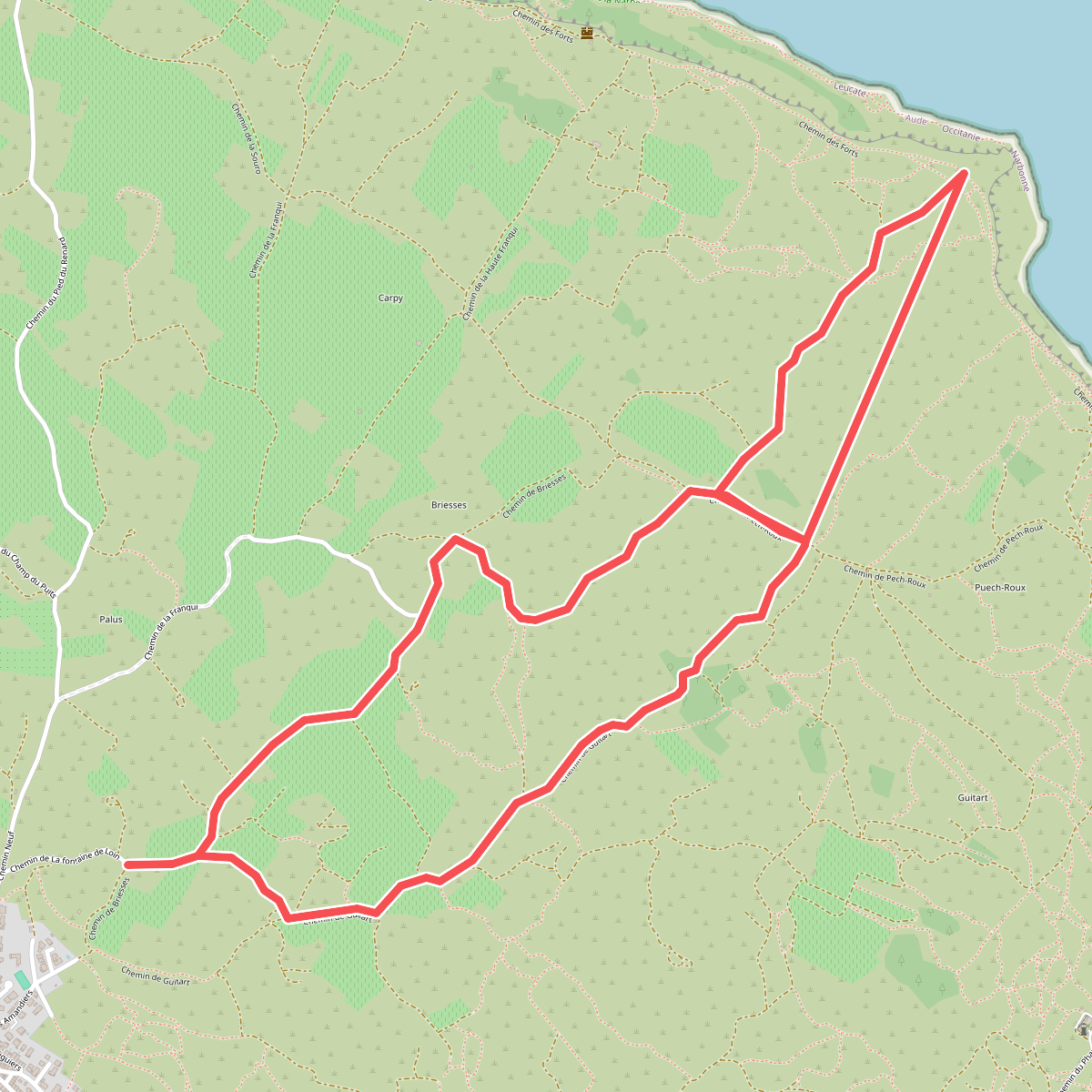
#3. Chemin du plateau de Leucate
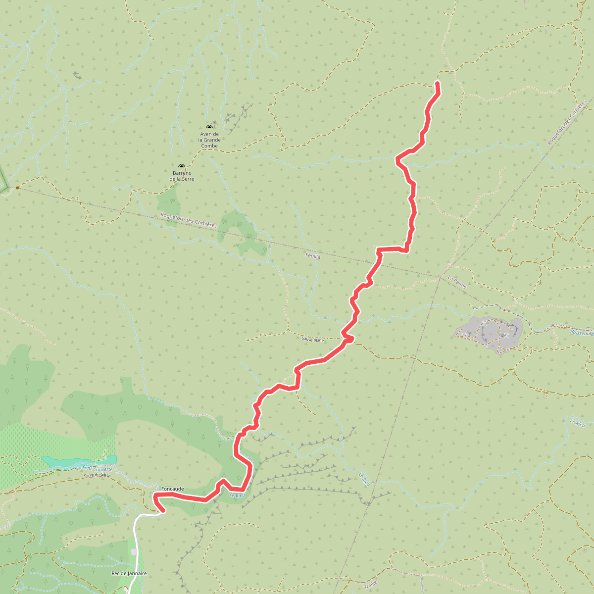
#4. Clot de l'Aigue - Gauja
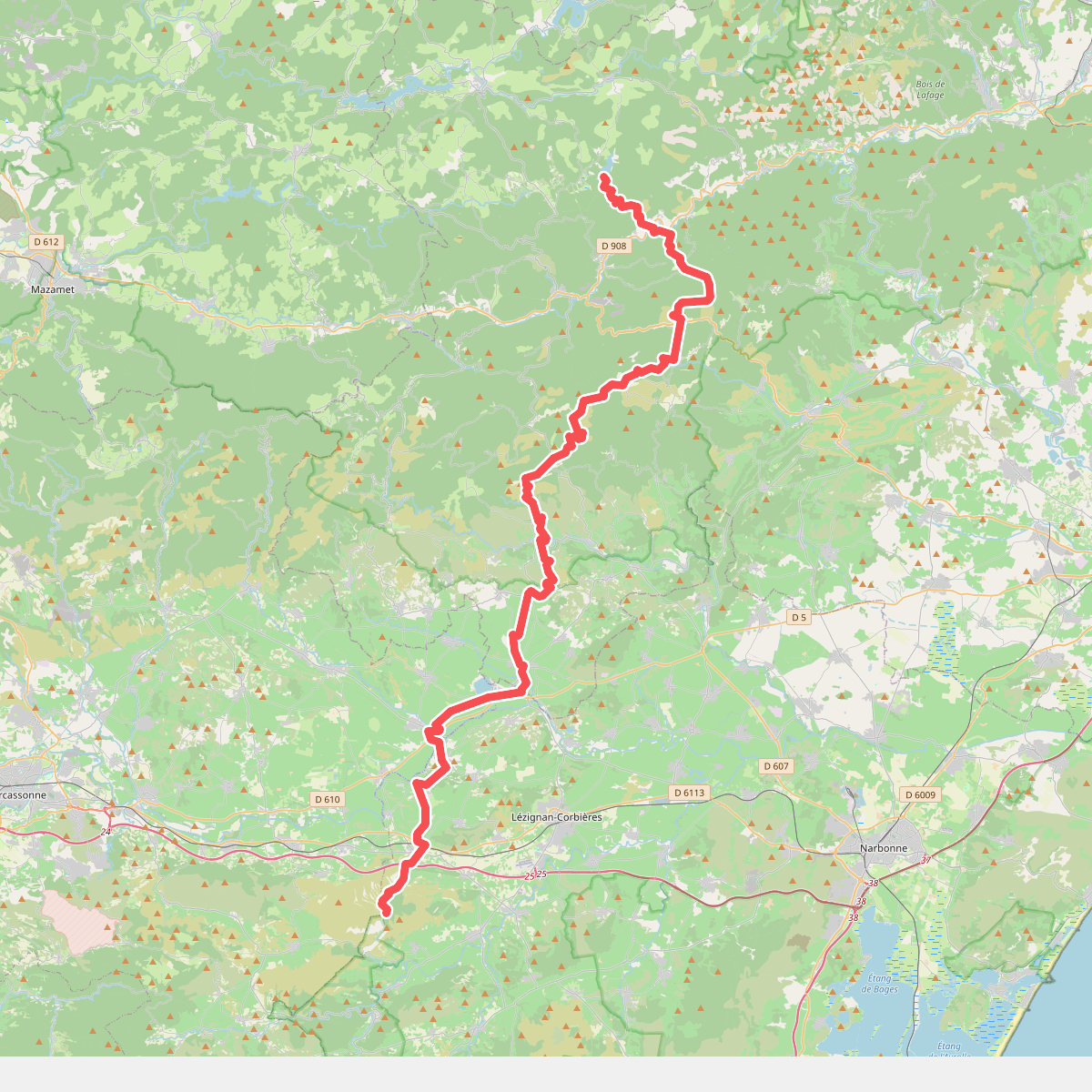
#5. Du Saut de Vézoles au Signal de l'Alaric
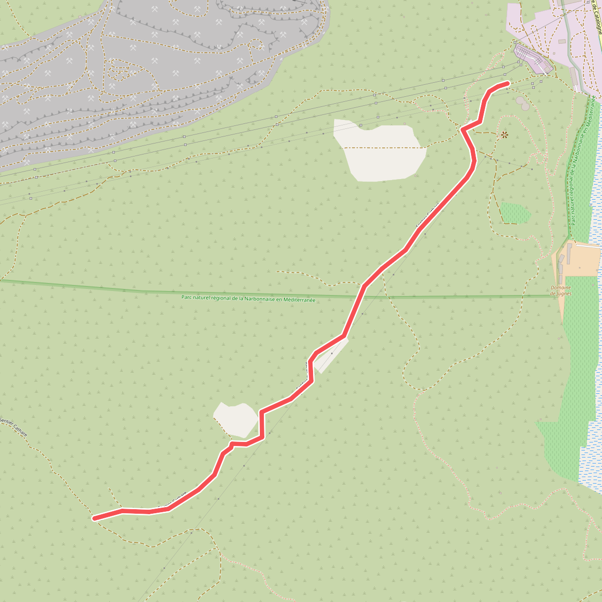
#6. Garrigue Haute - Combe des Buis Ouest
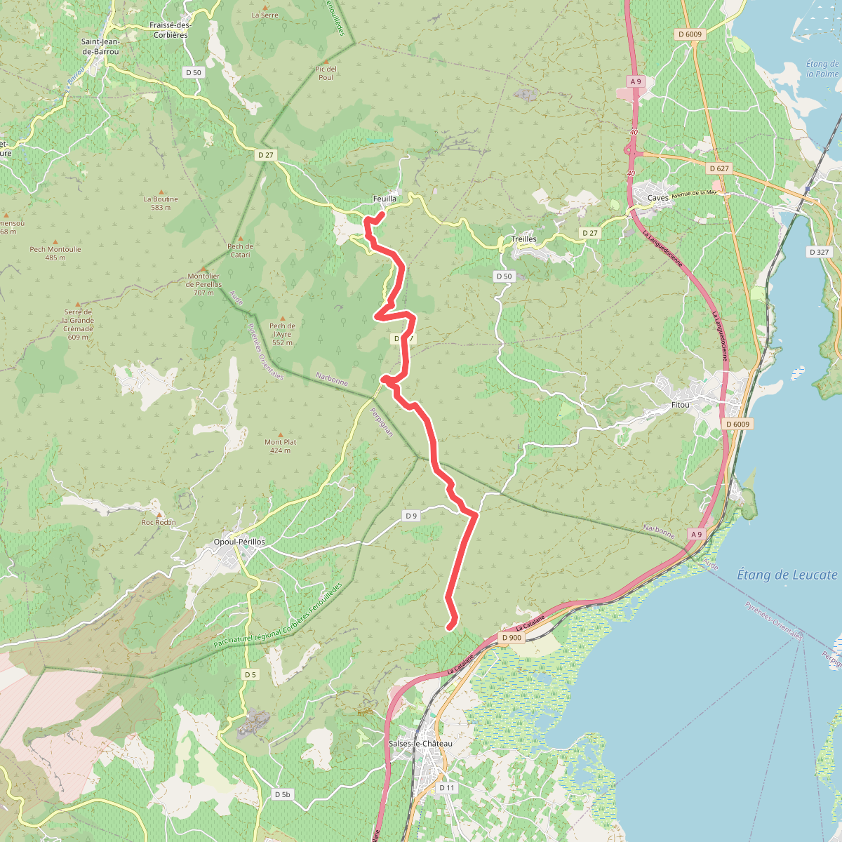
#7. Hortoux - Plana de Salses
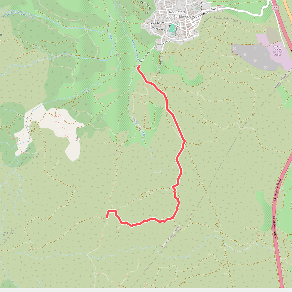
#8. La Badal - Clot de l'Aigue
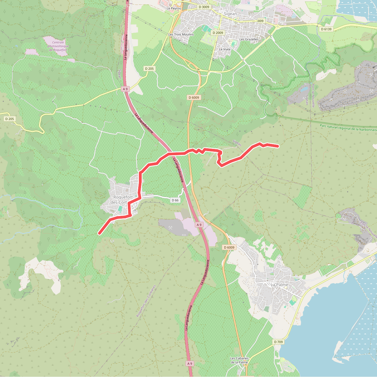
#9. La Badal - Pas du Loup
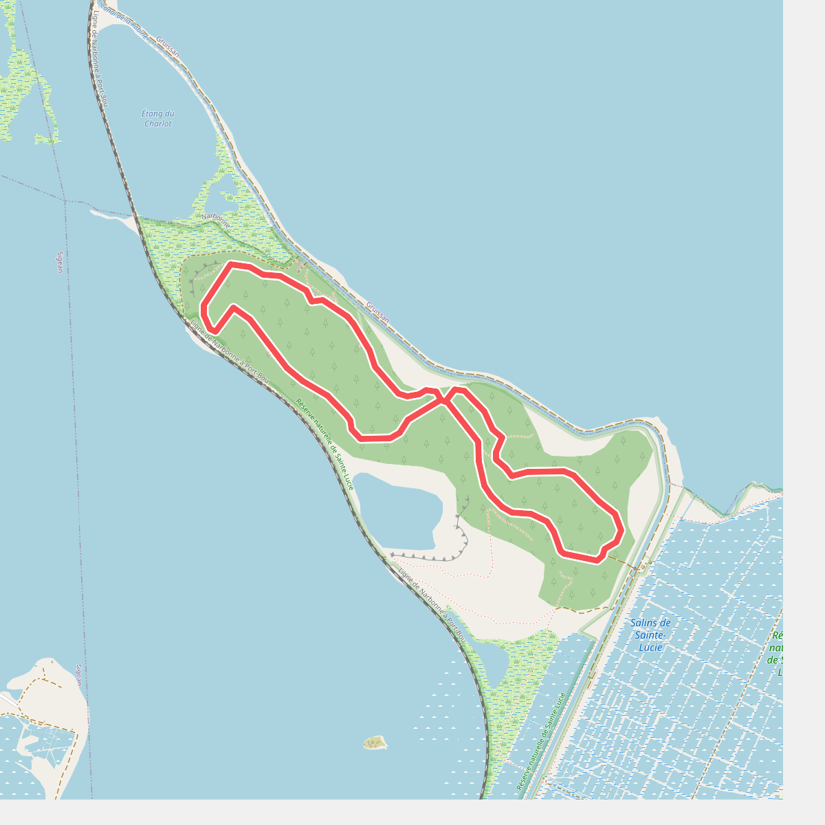
#10. La Boucle de Sainte-Lucie
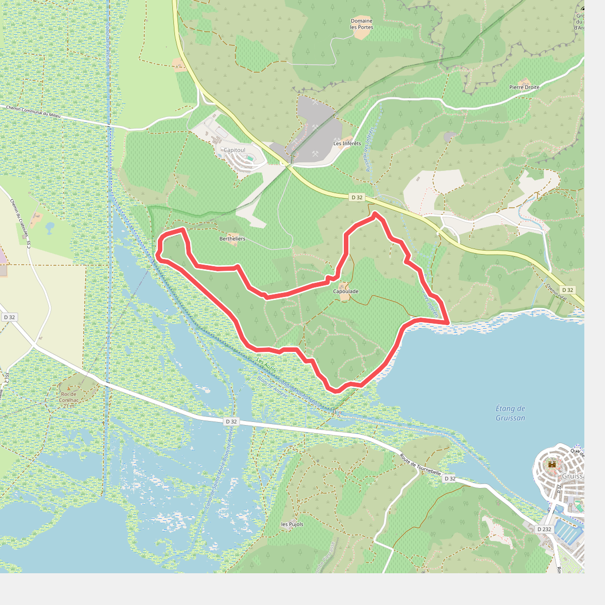
#11. La Capoulade