The best hiking routes in Parc naturel régional de la Brenne
Discover the best walks in Parc naturel régional de la Brenne. 31 routes on the map, with descriptions, photos and GPX.
About Parc naturel régional de la Brenne
Parc naturel régional de la Brenne is a flat, clay-heavy basin in central France defined by thousands of shallow, man-made fishponds called étangs. These ponds are separated by narrow earthen dikes, dense oak woods, and patches of dry, gorse-covered heathland known locally as brandes. Walking here means navigating a low-lying, horizontal landscape where water is almost always in view, though often hidden behind thick reedbeds or lines of willow.
Read more
About Parc naturel régional de la Brenne
Parc naturel régional de la Brenne is a flat, clay-heavy basin in central France defined by thousands of shallow, man-made fishponds called étangs. These ponds are separated by narrow earthen dikes, dense oak woods, and patches of dry, gorse-covered heathland known locally as brandes. Walking here means navigating a low-lying, horizontal landscape where water is almost always in view, though often hidden behind thick reedbeds or lines of willow.
Read moreParc naturel régional de la Brenne is a flat, clay-heavy basin in central France defined by thousands of shallow, man-made fishponds called étangs. These ponds are separated by narrow earthen dikes, dense oak woods, and patches of dry, gorse-covered heathland known locally as brandes. Walking here means navigating a low-lying, horizontal landscape where water is almost always in view, though often hidden behind thick reedbeds or lines of willow.
Underfoot, the terrain alternates between hard-packed dirt tracks, sandy lanes, and damp clay paths that can become sticky. In many of the marshier sections, wooden boardwalks and raised dikes keep you above the water level, leading to low timber bird hides. The walking is entirely flat, lacking any significant ridges or valleys, which makes for easy pacing but requires attention to navigation as the labyrinth of ponds and woods can look highly repetitive.
In late autumn, particularly November, many of the ponds are traditionally drained for fish harvesting, revealing muddy beds and attracting large numbers of migrating cranes. While the designated nature trails around the main observatories can draw birdwatchers during these migration periods, the wider network of agricultural tracks remains quiet, offering straightforward walking through a working rural landscape of fish farming and extensive cattle grazing.
Hiking routes in Parc naturel régional de la Brenne (31)
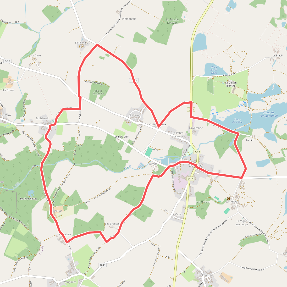
#1. Au pays des pyramides
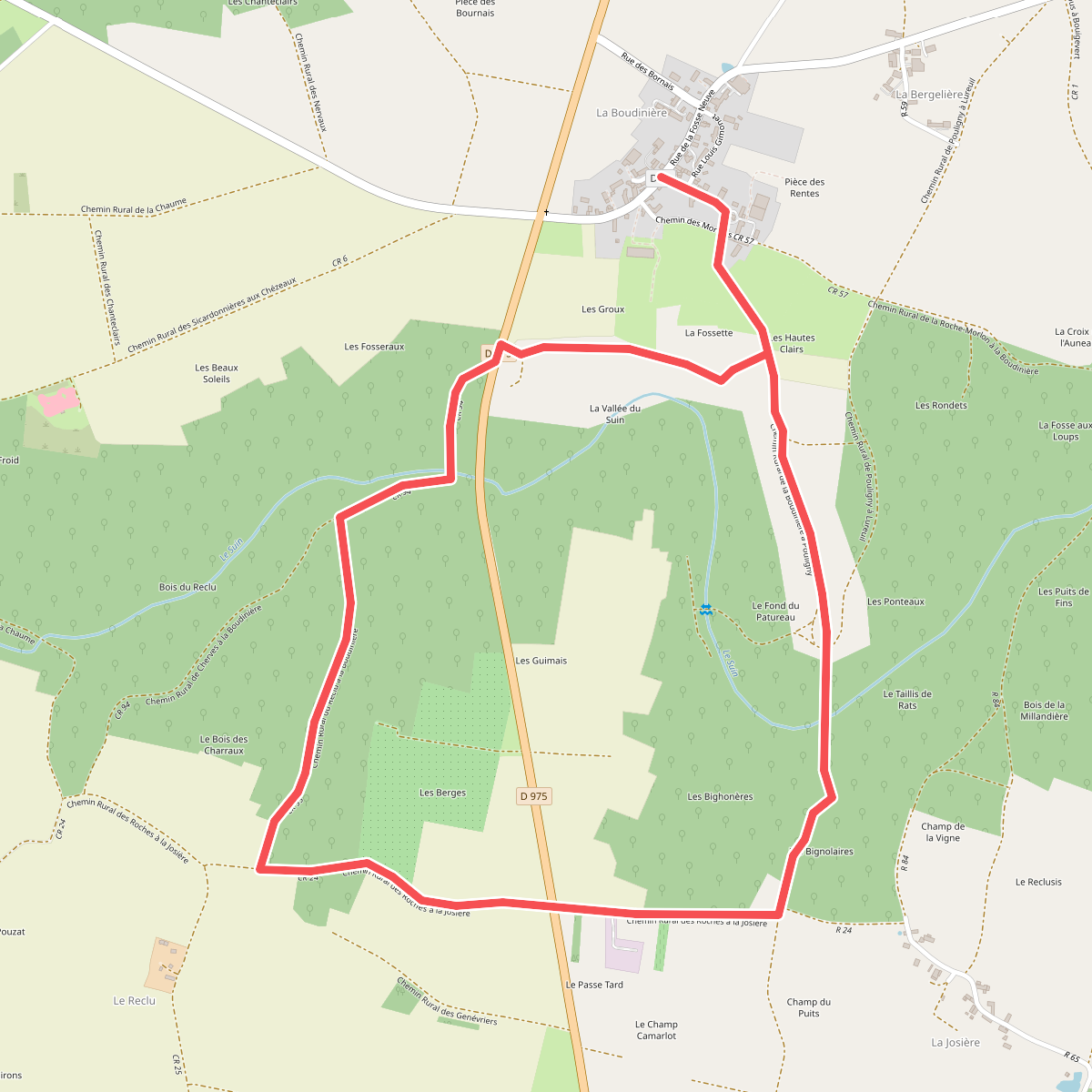
#2. Chemin de Szombathely, Montluçon - Tournon-Saint-Martin
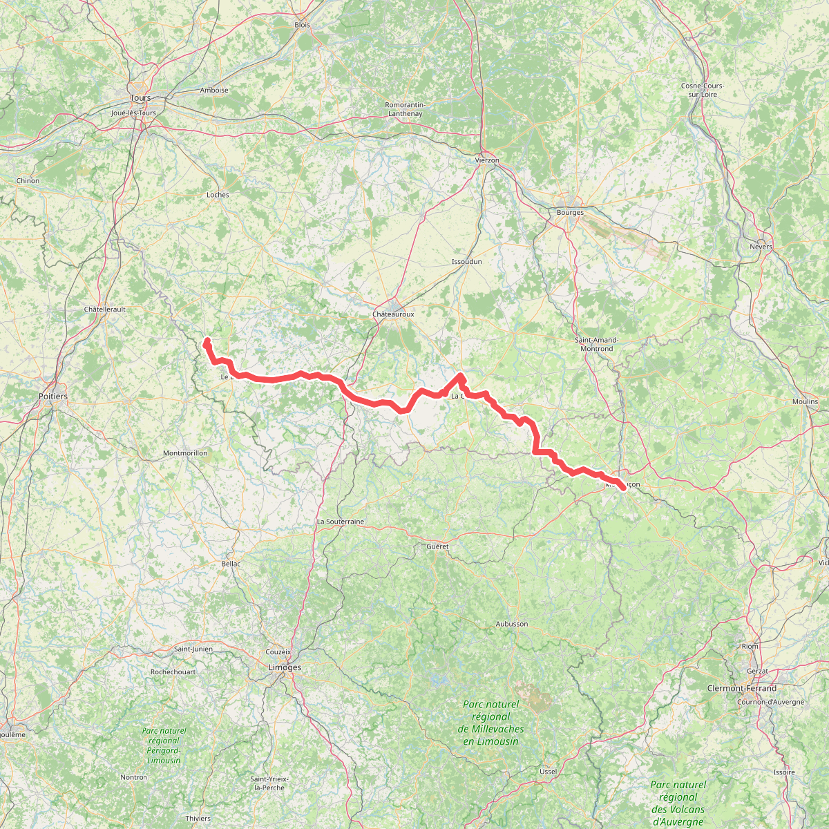
#3. Chemin d'eau, chemin de fer
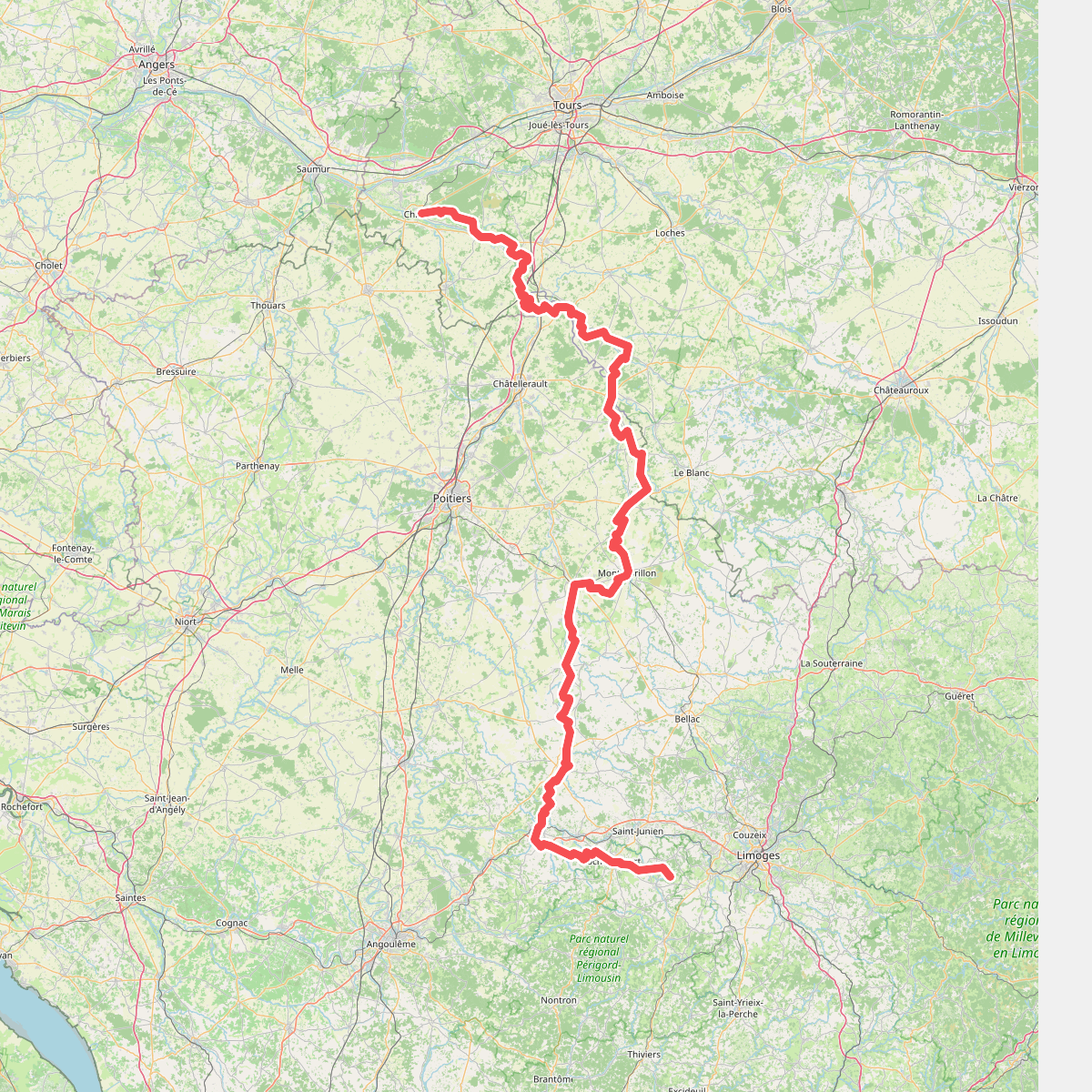
#4. De La Ribière à Chinon
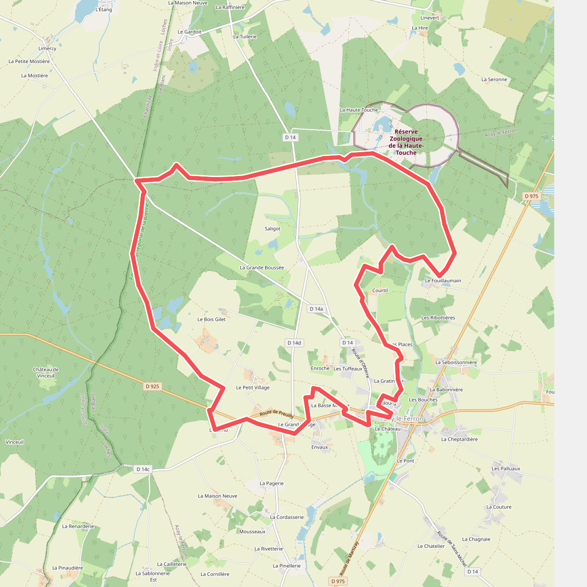
#5. Du parc à la forêt
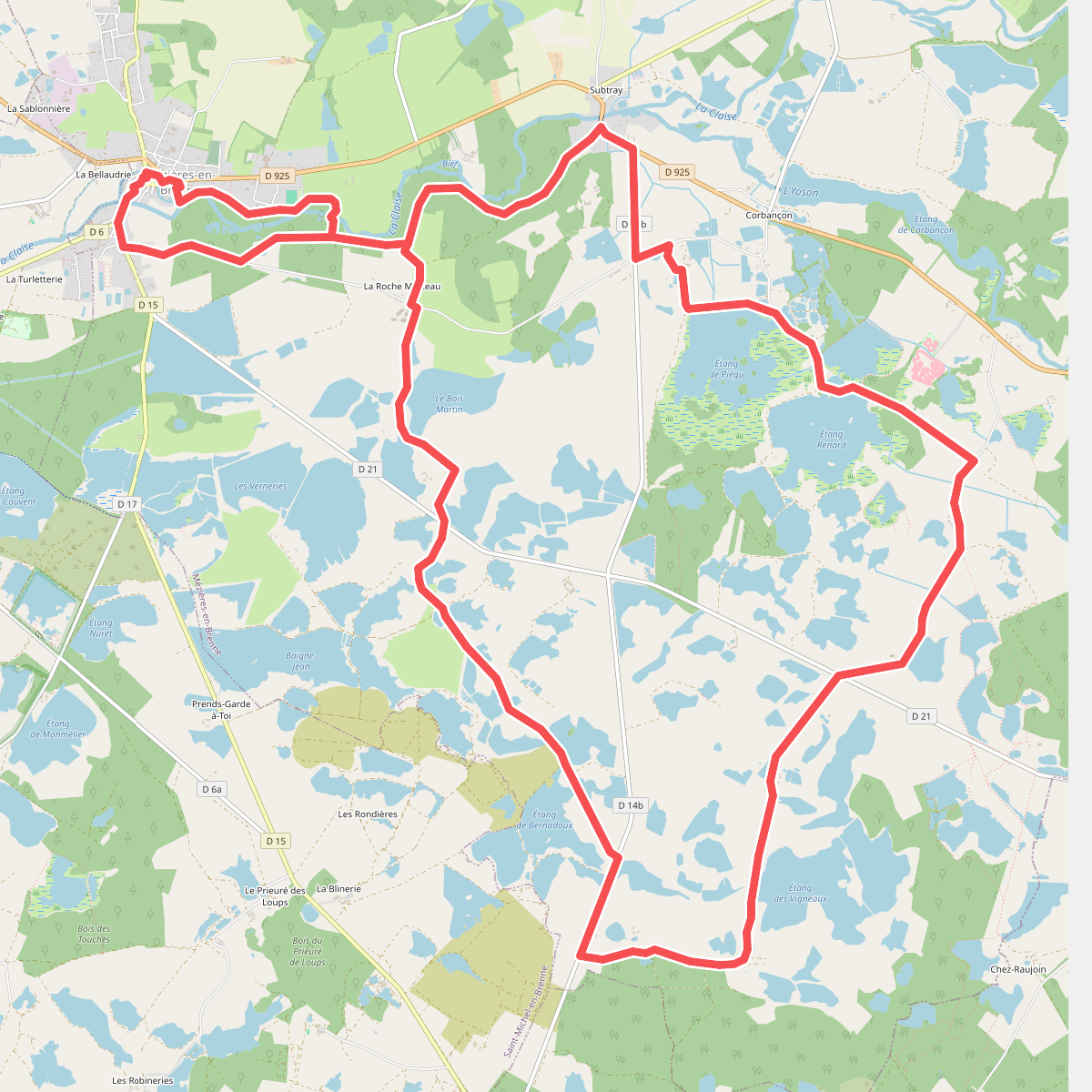
#6. D'un étang à l'autre
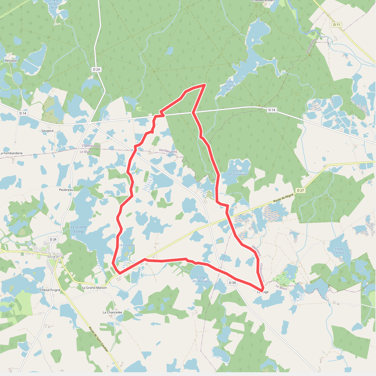
#7. Étangs, forêts et buttons
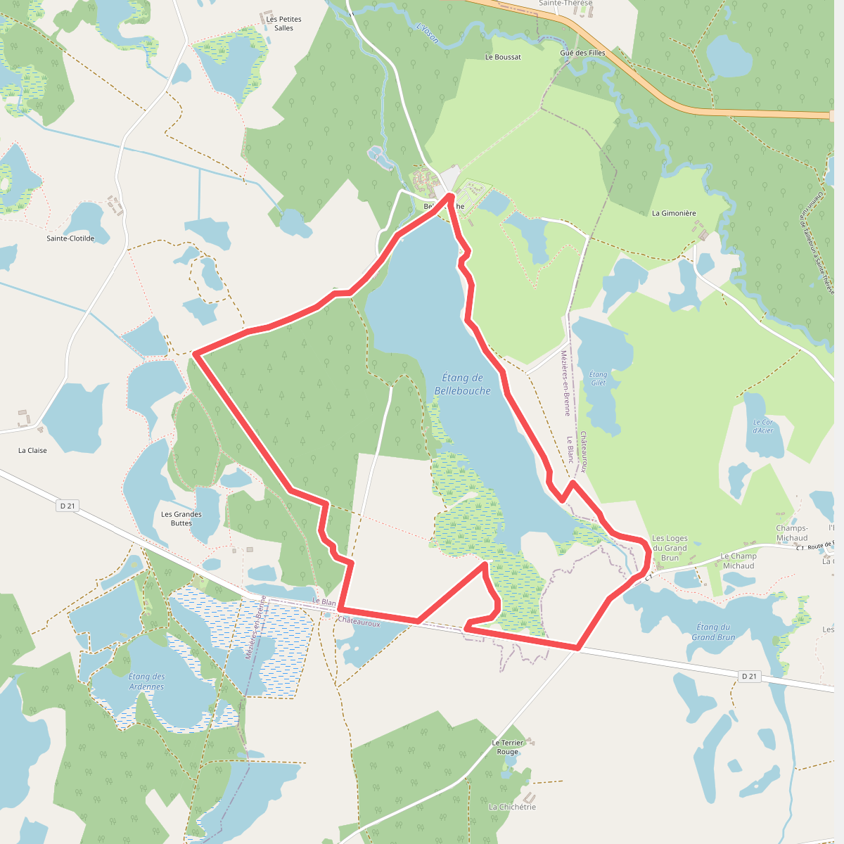
#8. Horizon de nénuphars
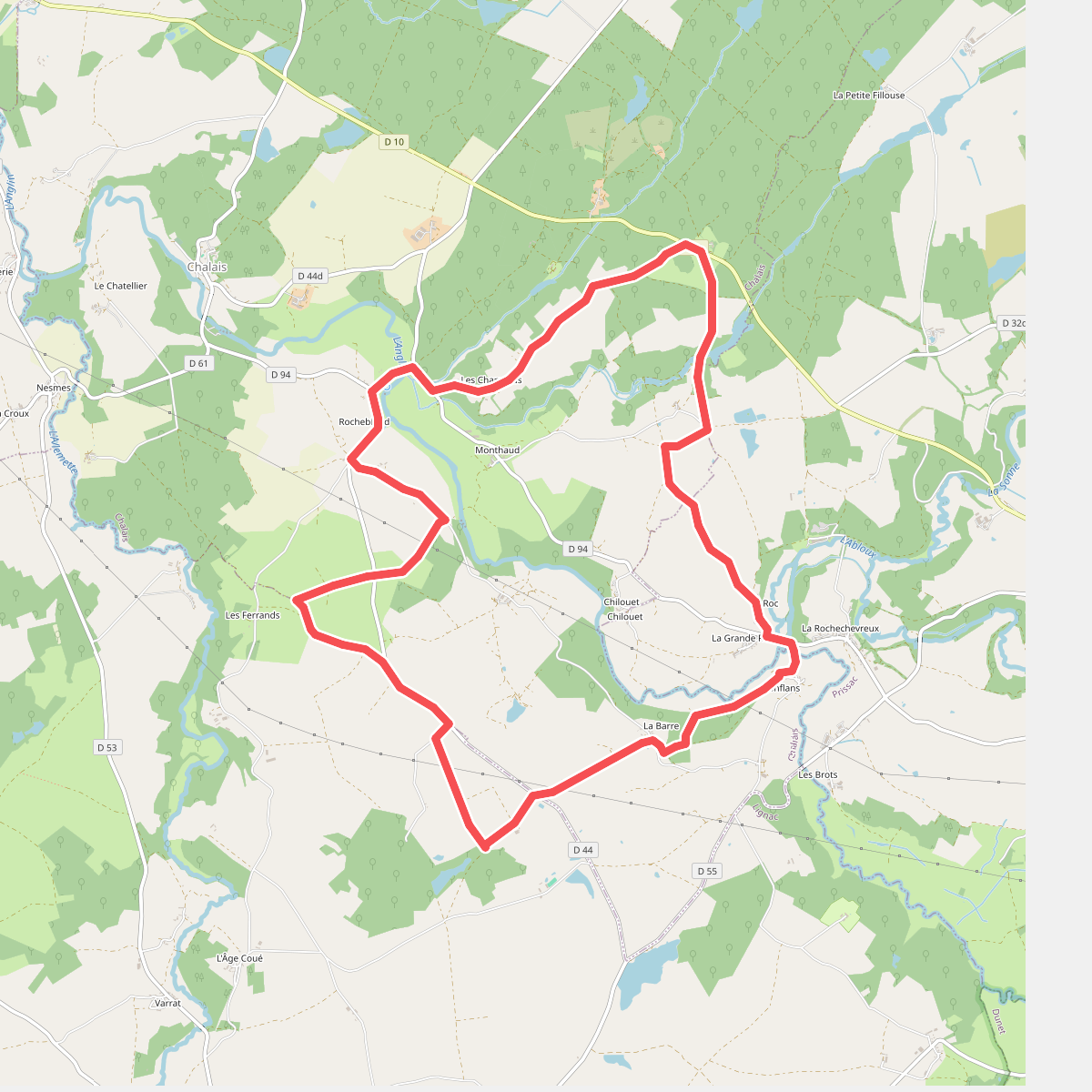
#9. L'Anglin, de Roches en Roc
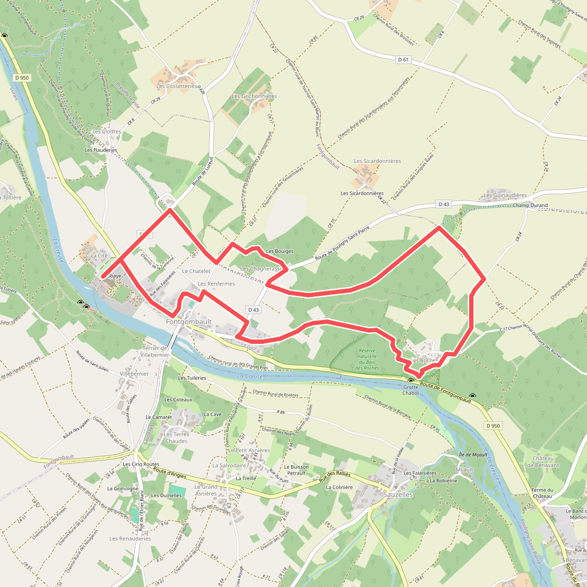
#10. Le bois des Roches
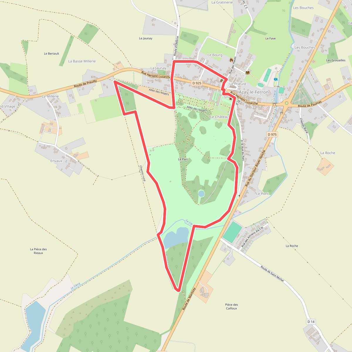
#11. Le château et ses demoiselles