

The best hiking routes in Parc naturel régional de Corse
Discover the best walks in Parc naturel régional de Corse. 65 routes on the map, with descriptions, photos and GPX.
Managed by Office de l'environnement de la Corse
About Parc naturel régional de Corse
Parc naturel r gional de Corse covers nearly forty percent of the island of Corsica, presenting a rugged, mountainous interior that differs sharply from the sandy beaches of the coastline. Walkers will find a landscape dominated by sharp granite peaks, deep gorges, and dense maquis shrubland that releases a strong herbal scent. This is a demanding terrain of steep gradients and rocky, uneven paths, rather than gentle rolling hills or smooth forest tracks. Underfoot, you will mostly encounter loose stones, exposed tree roots, and bare bedrock.
Read more
About Parc naturel régional de Corse
Parc naturel r gional de Corse covers nearly forty percent of the island of Corsica, presenting a rugged, mountainous interior that differs sharply from the sandy beaches of the coastline. Walkers will find a landscape dominated by sharp granite peaks, deep gorges, and dense maquis shrubland that releases a strong herbal scent. This is a demanding terrain of steep gradients and rocky, uneven paths, rather than gentle rolling hills or smooth forest tracks. Underfoot, you will mostly encounter loose stones, exposed tree roots, and bare bedrock.
Read moreParc naturel r gional de Corse covers nearly forty percent of the island of Corsica, presenting a rugged, mountainous interior that differs sharply from the sandy beaches of the coastline. Walkers will find a landscape dominated by sharp granite peaks, deep gorges, and dense maquis shrubland that releases a strong herbal scent. This is a demanding terrain of steep gradients and rocky, uneven paths, rather than gentle rolling hills or smooth forest tracks. Underfoot, you will mostly encounter loose stones, exposed tree roots, and bare bedrock.
The park is divided by a central alpine ridge, creating distinct environmental zones. In the higher elevations, such as around Monte Cinto, the landscape is alpine and austere, characterized by scree slopes and glacial lakes. Lower down, the vegetation shifts to ancient chestnut forests and maritime pine woods. Water is a constant feature on these trails, visible as fast-flowing mountain torrents and deep rock pools, which contrast with the dry, sun-baked granite slabs of the ridges.
Navigating this park requires careful attention to the trail markings, often simple paint splashes on rocks, as the terrain can quickly become disorienting. The famous GR20 trail traverses the park from north to south, but many shorter, traditional shepherd paths connect the high summer pastures to the stone villages below. In May and June, the lower valleys are filled with flowering rockrose and broom, while the highest passes may still hold patches of snow, requiring different route choices depending on your experience.
Hiking routes in Parc naturel régional de Corse (65)
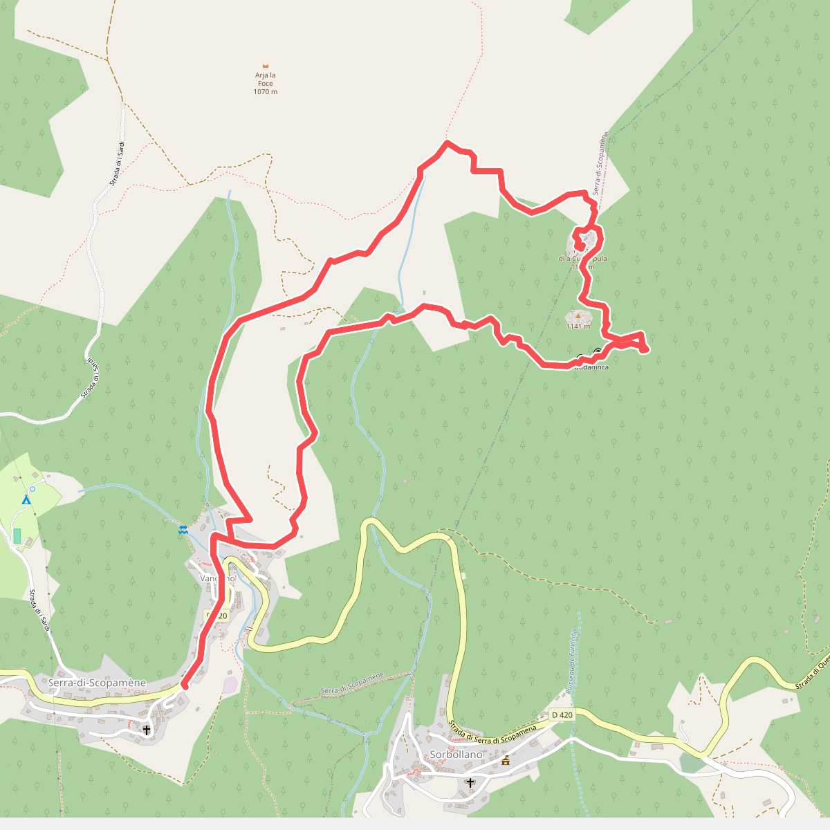
#1. A Strada di Rinucciu - Sentier Archéologique de Cuciurpula
Serra-di-Scopamène,Sorbollano
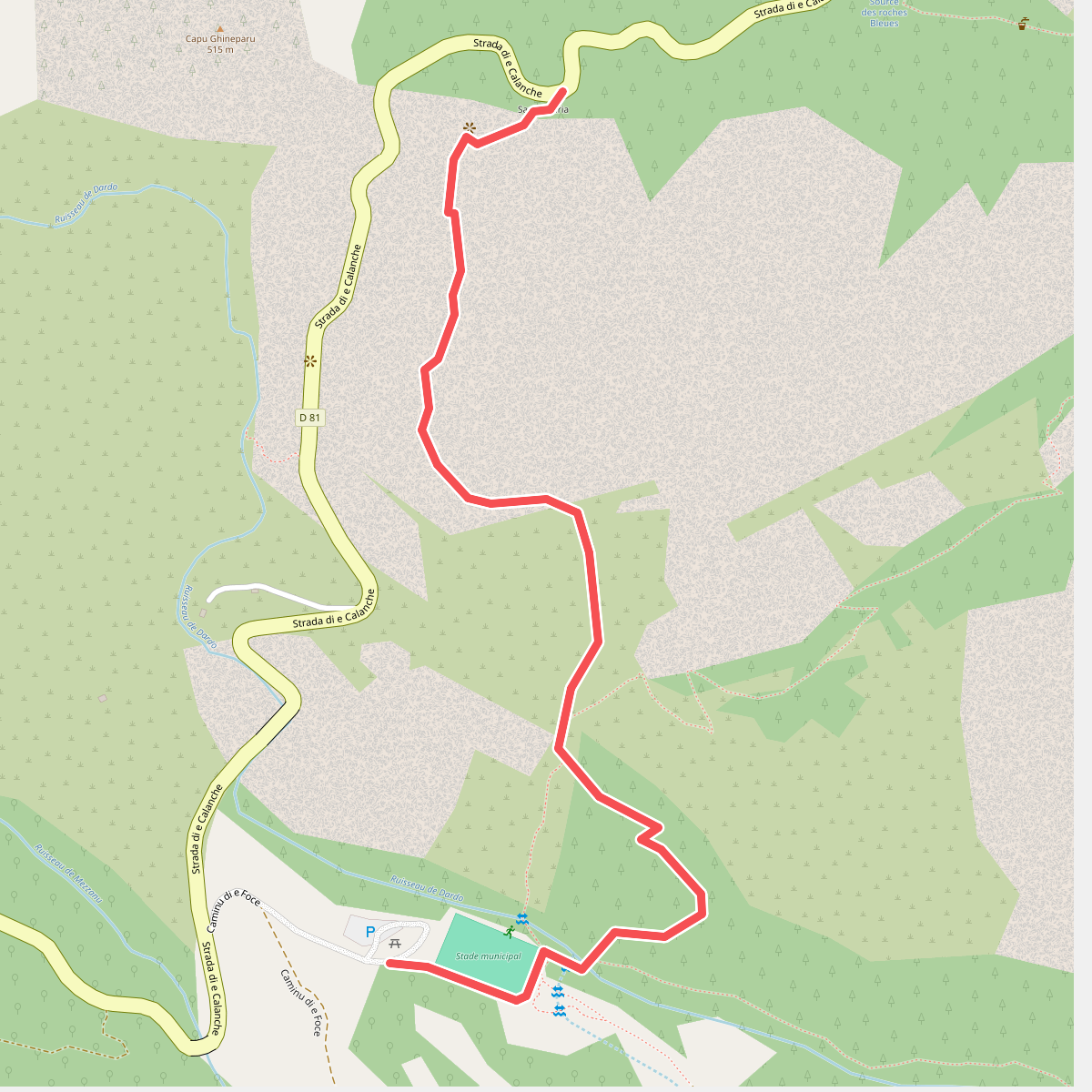
#2. Ancien Sentier Muletier Piana-Ota
Piana
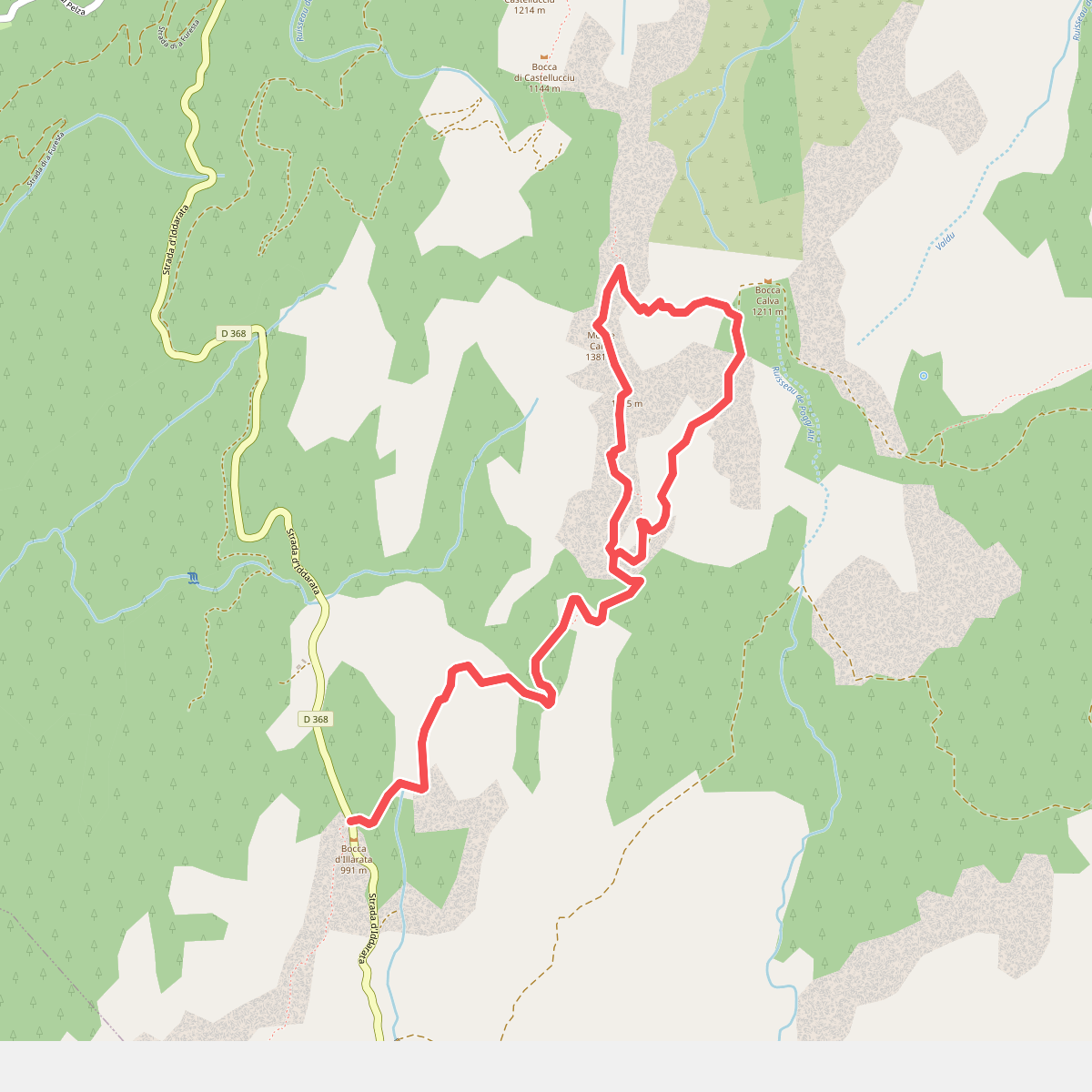
#3. Bocca d'Illarate<->Monte Calva
Zonza
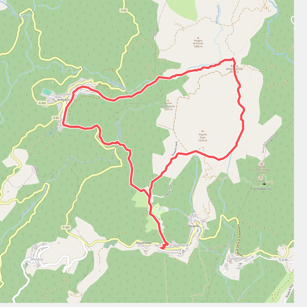
#4. Boucle 1 - Serra-di-Scopamène<->Aullène
Serra-di-Scopamène,Aullène
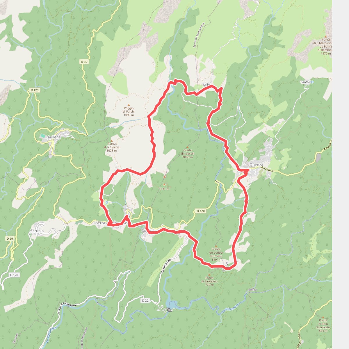
#5. Boucle 2 - Serra-di-Scopamène<->Quenza
Sorbollano,Quenza,Serra-di-Scopamène
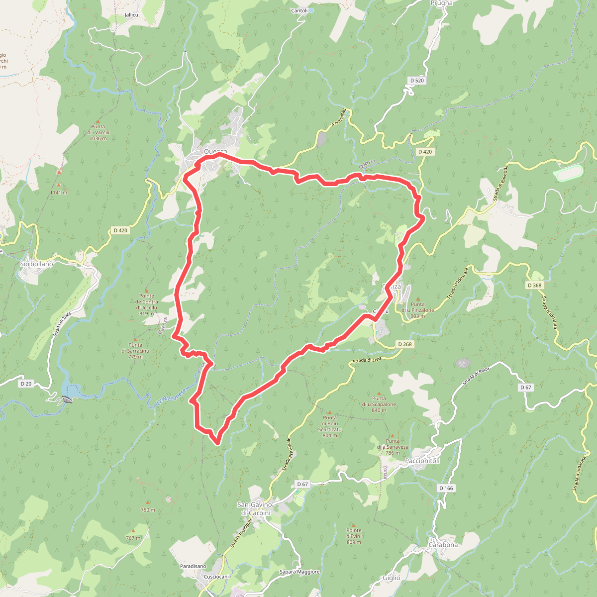
#6. Boucle 3 - Zonza<->Quenza
Zonza,San-Gavino-di-Carbini,Levie,Quenza
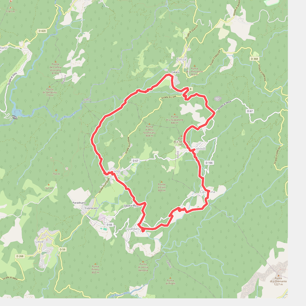
#7. Boucle 4 - San-Gavino<->Zonza
San-Gavino-di-Carbini,Zonza
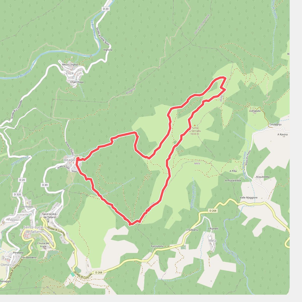
#8. Boucle 5 - Altagène<->Punta di Sarradò
Altagène,Sainte-Lucie-de-Tallano
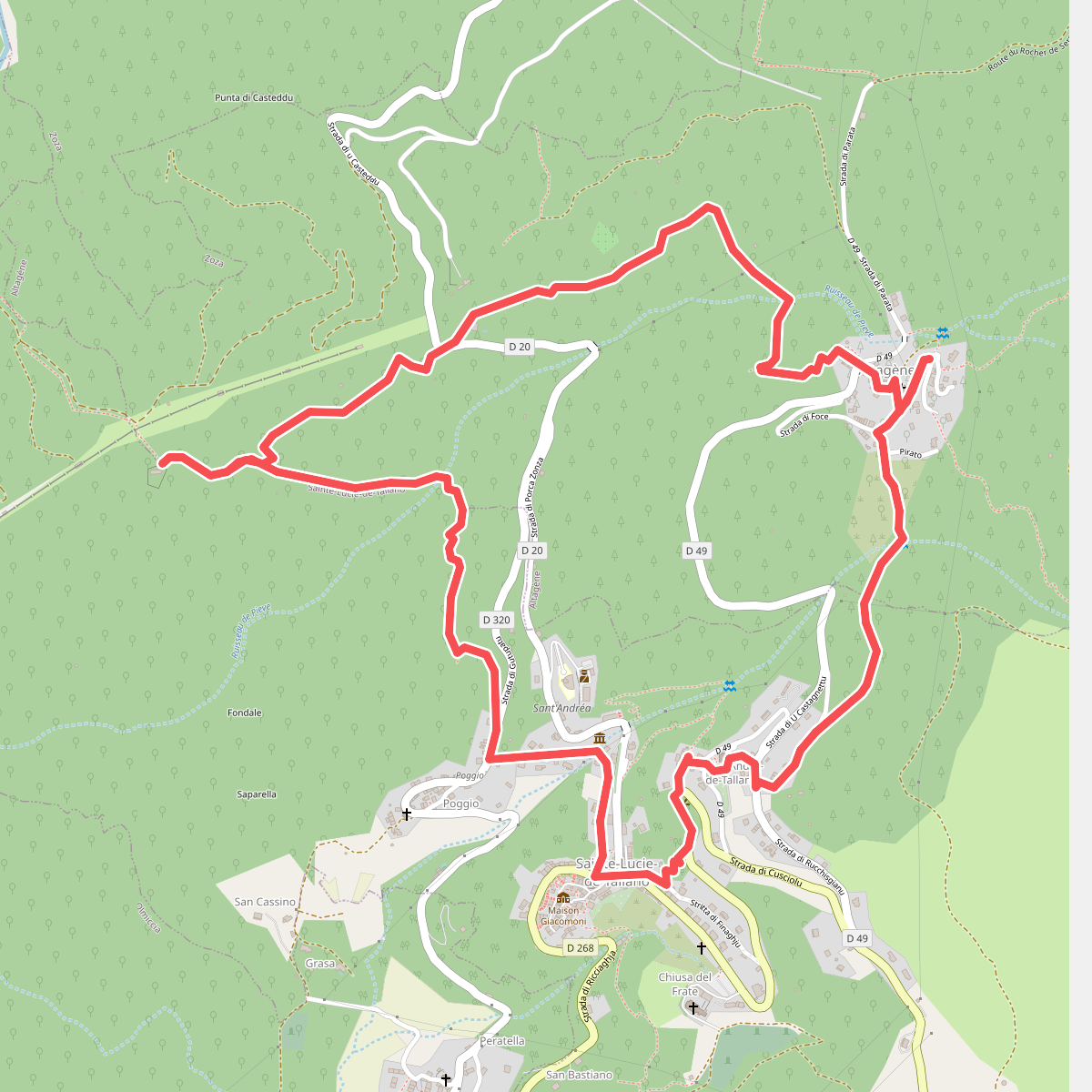
#9. Boucle 7 - Altagène<->Sainte-Lucie de Tallano
Altagène,Sainte-Lucie-de-Tallano
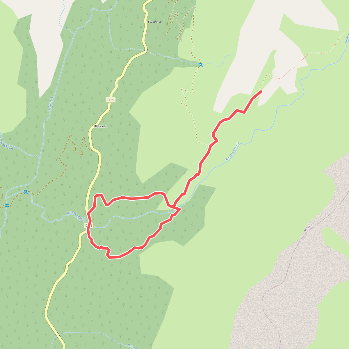
#10. Boucle 7 - Rocher Oscillant
Aullène
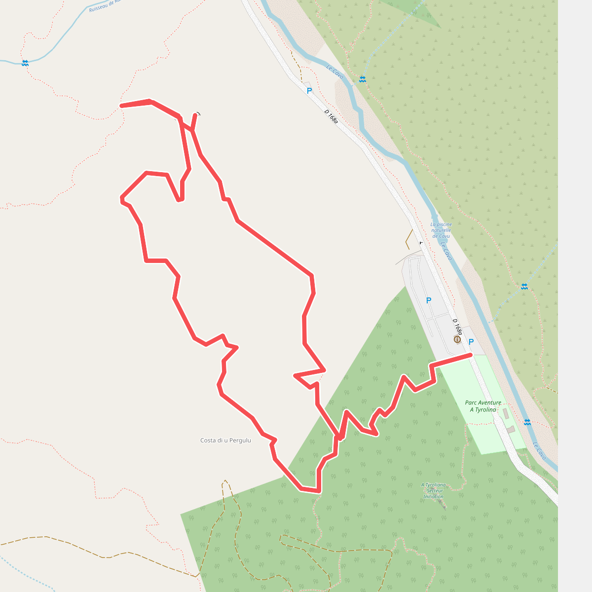
#11. Boucle Chjassu di i Carbunari
Zonza
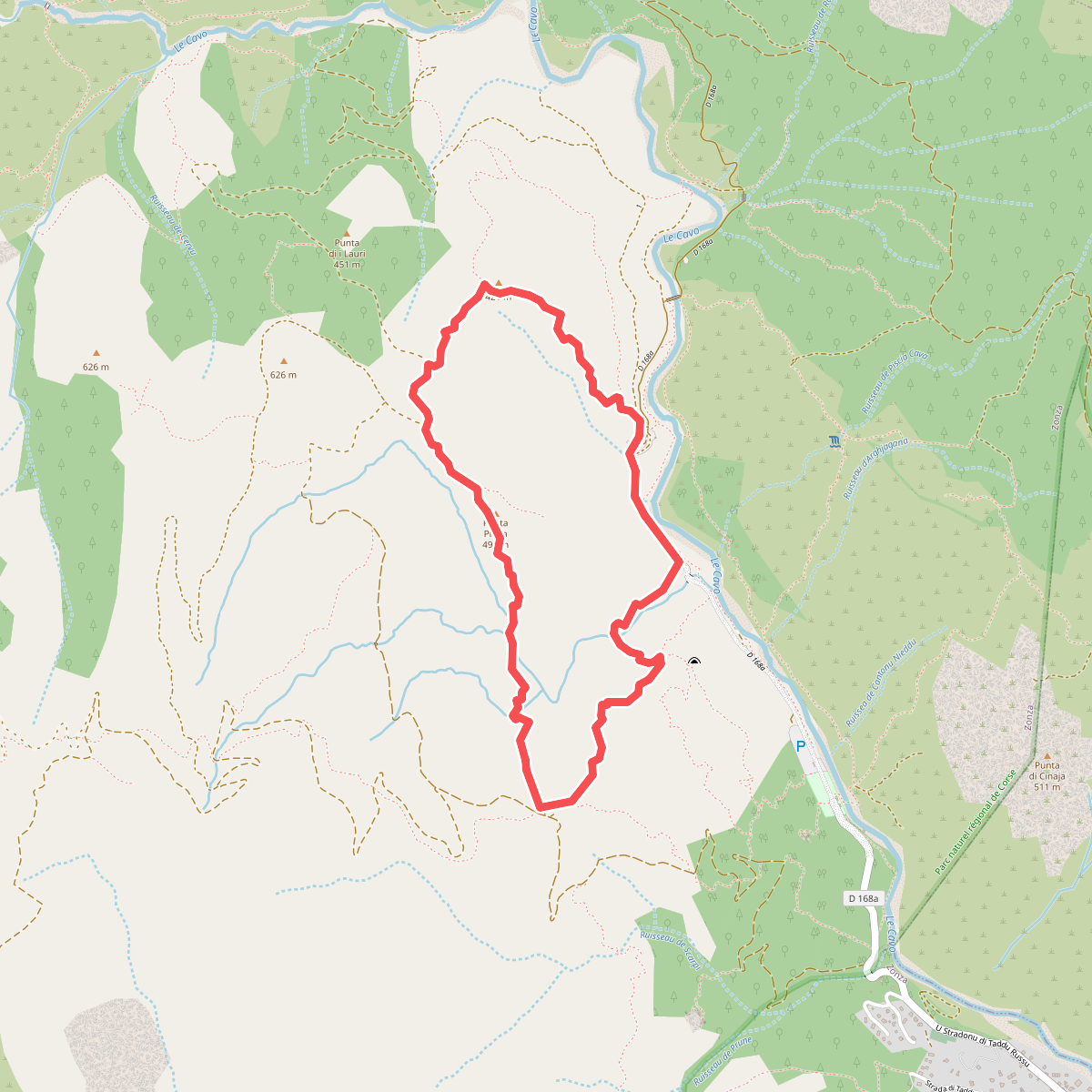
#12. Boucle d'A Ranedda
Zonza




