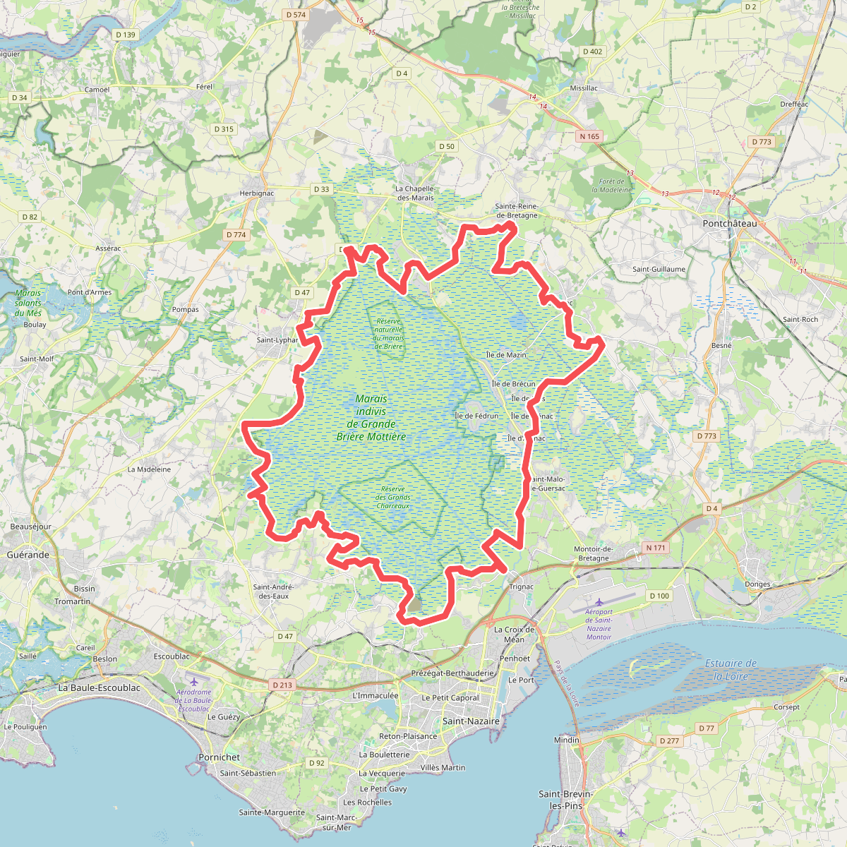
The best hiking routes in Parc naturel régional de Brière
Discover the best walks in Parc naturel régional de Brière. 10 routes on the map, with descriptions, photos and GPX.
About Parc naturel régional de Brière
Parc naturel régional de Brière is a vast, low-lying expanse of peat marshes, reedbeds, and labyrinthine waterways situated just inland from the Atlantic coast. Unlike dry, sandy coastal heaths, this landscape is defined by water and flat, grassy islands known as îles. Walking here means navigating a network of narrow tarmac lanes, grassy dikes, and earthen paths that skirt the edges of the marshland. There are no hills or deep valleys to negotiate; the terrain is entirely level, offering long, open perspectives across the reeds rather than dramatic elevation changes.
Read more
About Parc naturel régional de Brière
Parc naturel régional de Brière is a vast, low-lying expanse of peat marshes, reedbeds, and labyrinthine waterways situated just inland from the Atlantic coast. Unlike dry, sandy coastal heaths, this landscape is defined by water and flat, grassy islands known as îles. Walking here means navigating a network of narrow tarmac lanes, grassy dikes, and earthen paths that skirt the edges of the marshland. There are no hills or deep valleys to negotiate; the terrain is entirely level, offering long, open perspectives across the reeds rather than dramatic elevation changes.
Read moreParc naturel régional de Brière is a vast, low-lying expanse of peat marshes, reedbeds, and labyrinthine waterways situated just inland from the Atlantic coast. Unlike dry, sandy coastal heaths, this landscape is defined by water and flat, grassy islands known as îles. Walking here means navigating a network of narrow tarmac lanes, grassy dikes, and earthen paths that skirt the edges of the marshland. There are no hills or deep valleys to negotiate; the terrain is entirely level, offering long, open perspectives across the reeds rather than dramatic elevation changes.
Underfoot, the paths alternate between firm clay, damp grass, and occasional gravel tracks. You will notice how the landscape has been shaped by centuries of peat cutting, leaving behind a patchwork of shallow canals and open water basins. In the drier sections, particularly around the traditional villages like Kerhinet, the paths are flanked by stone walls and traditional thatched cottages, while the wetter marsh edges are dominated by dense stands of reeds and willow scrub.
During the late summer months of August and September, the water levels are typically lower, exposing muddy banks and attracting numerous wading birds. While the main visitor hamlets can be busy with day-trippers, the outer perimeter dikes and less-frequented marsh paths offer a much quieter walking experience. This is a landscape where you must be content with slow, flat walking, where the interest lies in the subtle shifts between open water, reedbeds, and small pasture fields.
Hiking routes in Parc naturel régional de Brière (10)
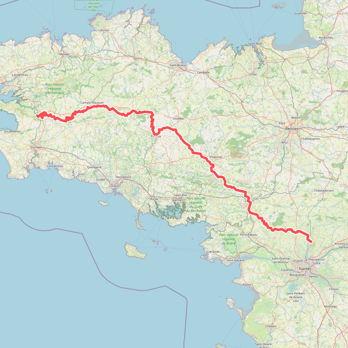
#1. Chemin de Halage du Canal de Nantes à Brest
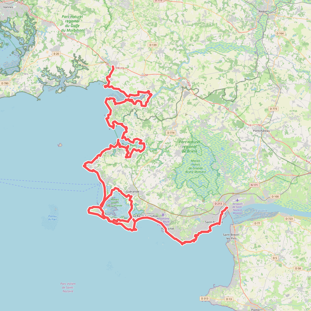
#2. Chemin des Douaniers, Muzillac - Saint-Nazaire
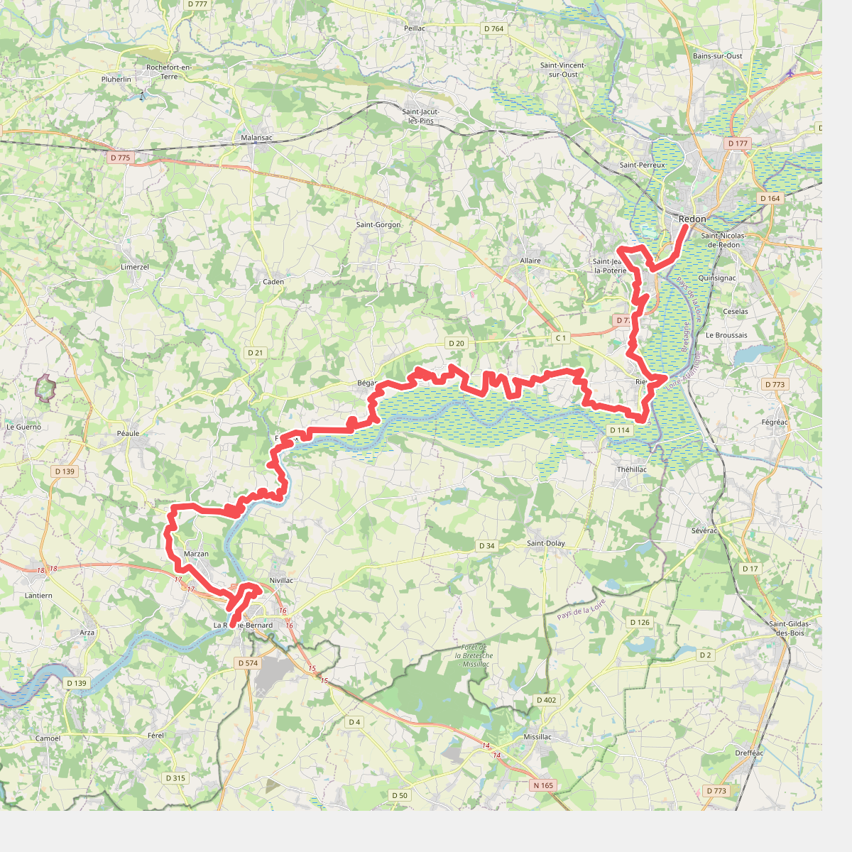
#3. Du Mont-Saint-Michel à La Grande Brière - partie 8
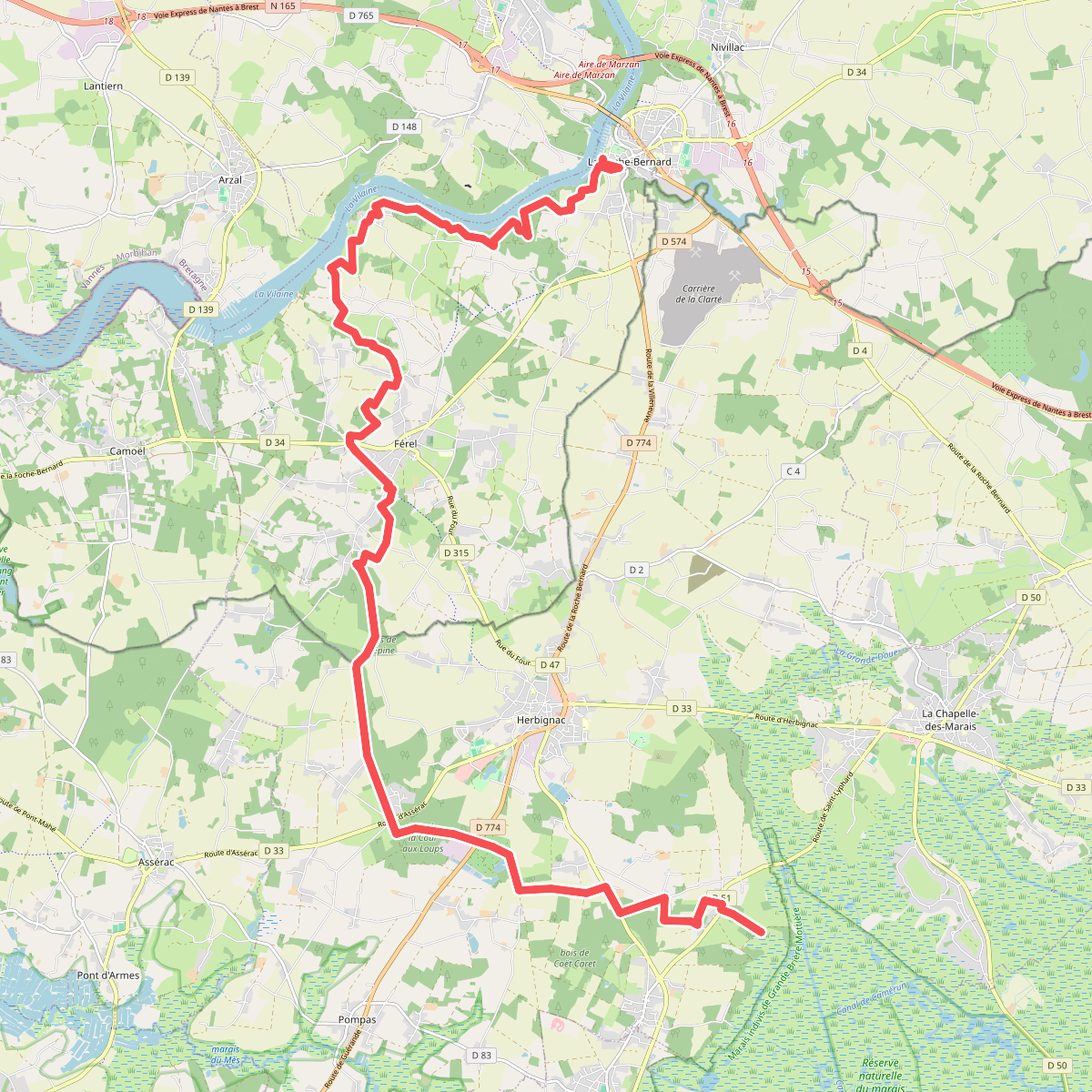
#4. Du Mont-Saint-Michel à La Grande Brière - partie 9
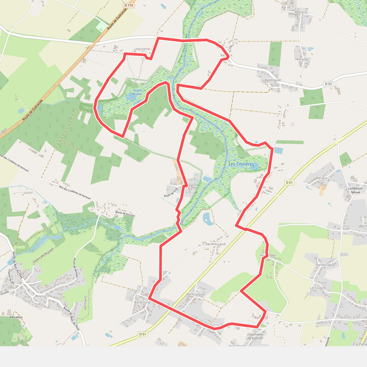
#5. Entre chaumières et marais
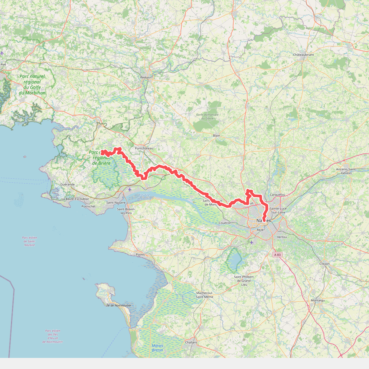
#6. European long distance path E5, France, south variant · Saint-Lyphard – Nantes
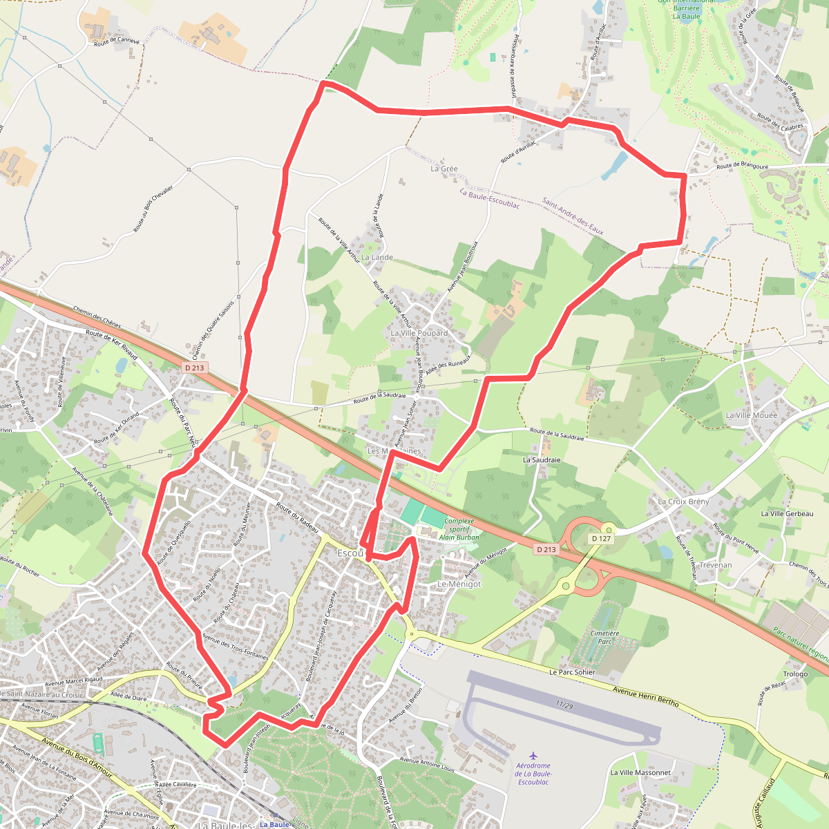
#7. La petite marchande
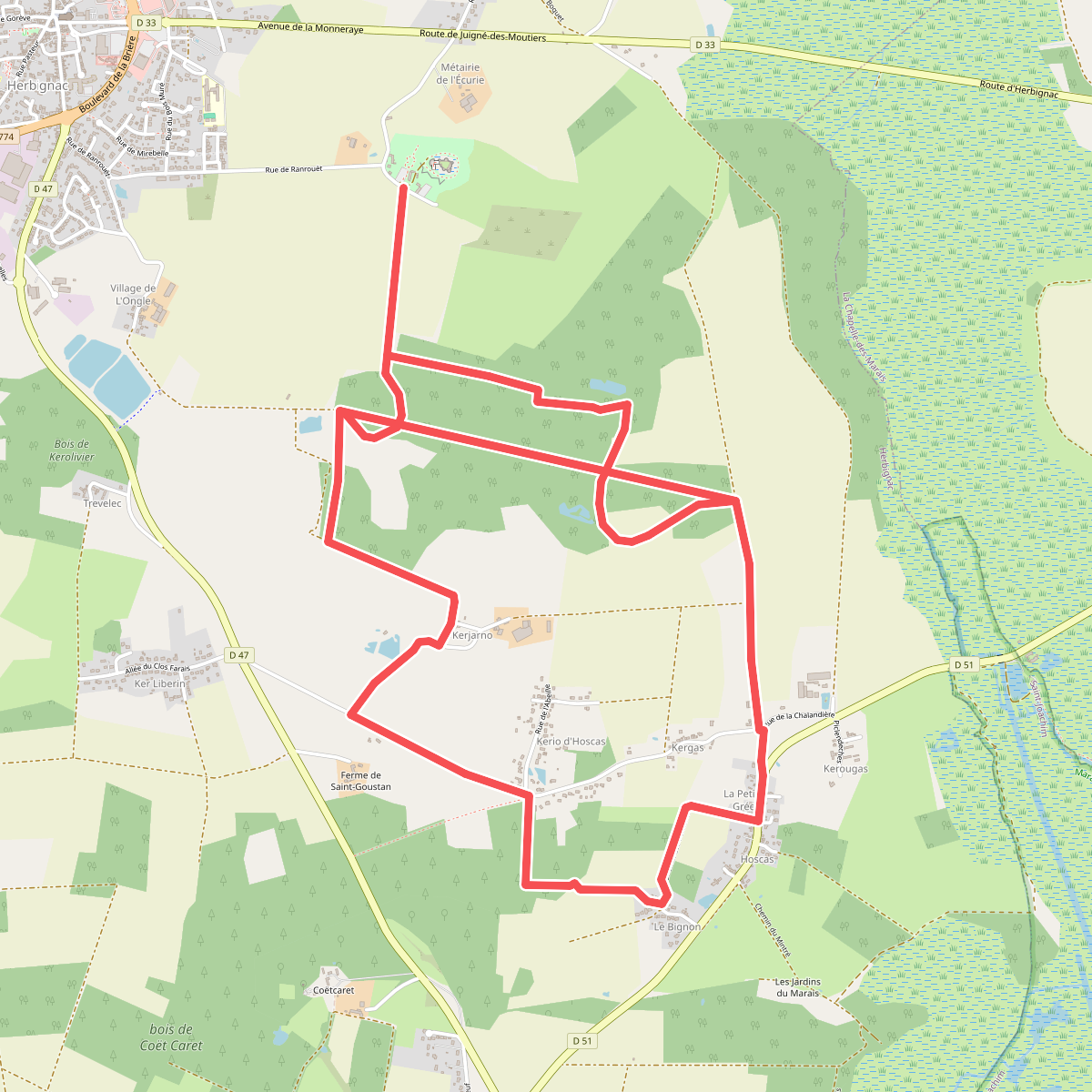
#8. Le Château de Ranrouët
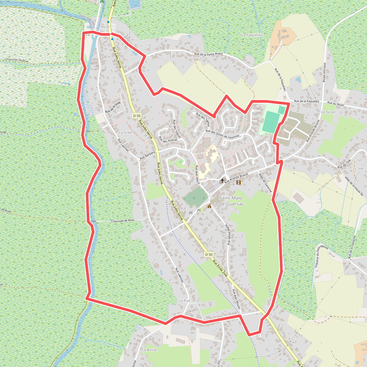
#9. Les Gagneries