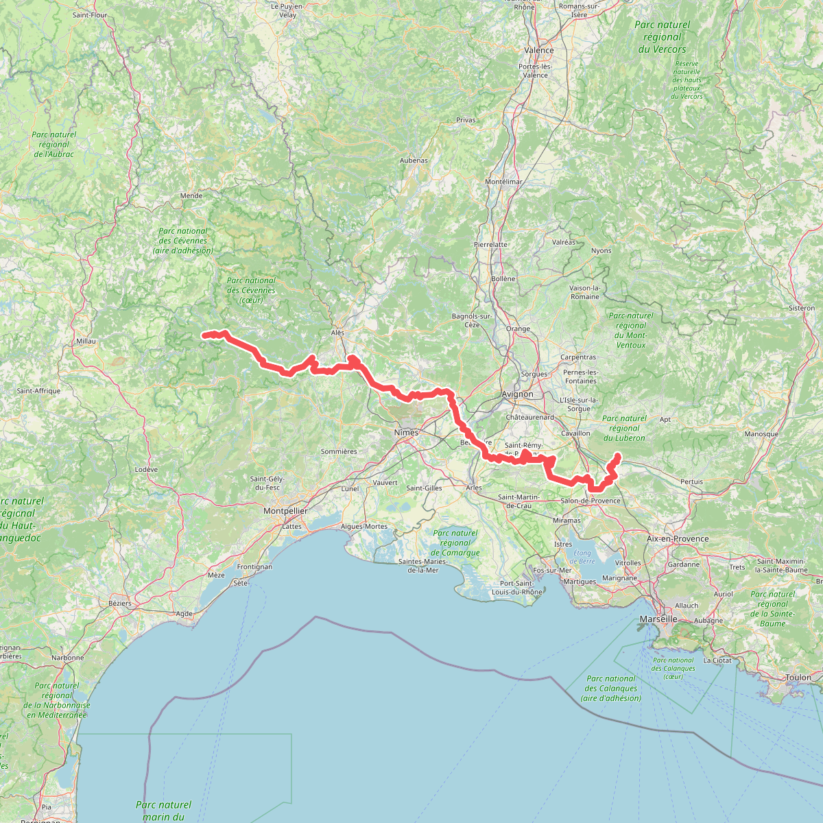
The best hiking routes in Parc national des Cévennes (cœur)
Discover the best walks in Parc national des Cévennes (cœur). 12 routes on the map, with descriptions, photos and GPX.
About Parc national des Cévennes (cœur)
Parc national des Cvennes (cœur) is characterized by its stark geological divide, which dictates the terrain underfoot. In the northern section, the granite massif of Mont Lozre offers high, rounded ridges covered in rough grass and peat bogs, where walkers follow ancient stone markers called montjoies. To the south, the landscape shifts abruptly to the limestone Causses, vast and dry plateaus where the path consists of stony, dusty tracks cutting through short steppe-like grass and boxwood shrubs. Deeply incised gorges, like those of the Tarn and Jonte, cut through these limestone layers, creating steep, rocky descents.
Read more
About Parc national des Cévennes (cœur)
Parc national des Cvennes (cœur) is characterized by its stark geological divide, which dictates the terrain underfoot. In the northern section, the granite massif of Mont Lozre offers high, rounded ridges covered in rough grass and peat bogs, where walkers follow ancient stone markers called montjoies. To the south, the landscape shifts abruptly to the limestone Causses, vast and dry plateaus where the path consists of stony, dusty tracks cutting through short steppe-like grass and boxwood shrubs. Deeply incised gorges, like those of the Tarn and Jonte, cut through these limestone layers, creating steep, rocky descents.
Read moreParc national des Cvennes (cœur) is characterized by its stark geological divide, which dictates the terrain underfoot. In the northern section, the granite massif of Mont Lozre offers high, rounded ridges covered in rough grass and peat bogs, where walkers follow ancient stone markers called montjoies. To the south, the landscape shifts abruptly to the limestone Causses, vast and dry plateaus where the path consists of stony, dusty tracks cutting through short steppe-like grass and boxwood shrubs. Deeply incised gorges, like those of the Tarn and Jonte, cut through these limestone layers, creating steep, rocky descents.
This landscape is heavily shaped by centuries of pastoralism. Walkers will constantly encounter drailles, the wide, stone-walled sheep-tracks used for seasonal migration, alongside traditional granite farmhouses with heavy stone roofs. The vegetation is a direct result of this grazing history, presenting a mix of open, deforested moorlands on the heights and dense beech and chestnut forests on the lower slopes.
Underfoot, expect a transition from spongy, damp turf on the granite summits to sharp, loose limestone scree on the canyon paths. While the high plateaus are generally open and exposed, the deep valleys offer shaded woodland walking. The area is not an alpine environment of jagged peaks, but rather a series of high, rolling surfaces separated by sheer canyon walls.
Hiking routes in Parc national des Cévennes (cœur) (12)
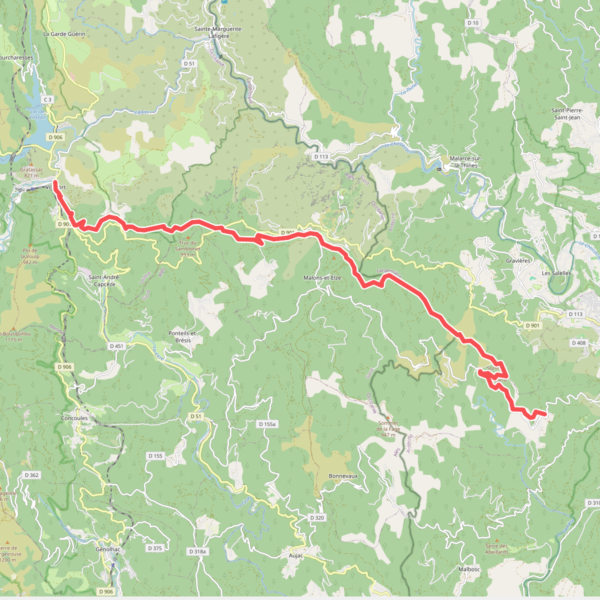
#1. Brahic - Villefort
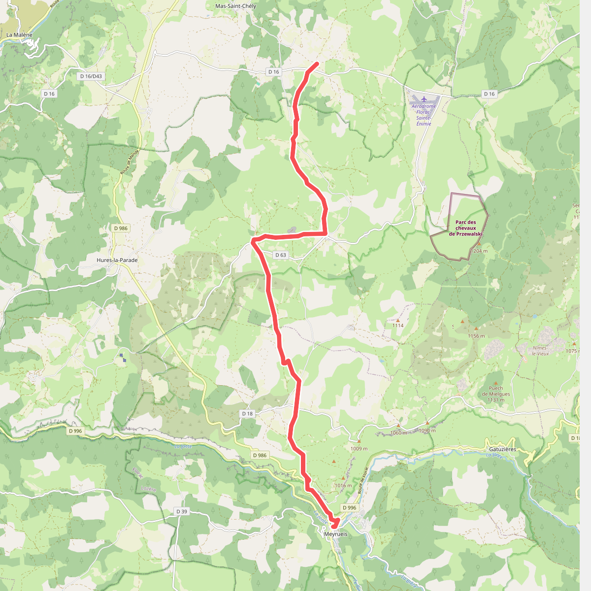
#2. CSG 07 : Mas de Val - Meyrueis
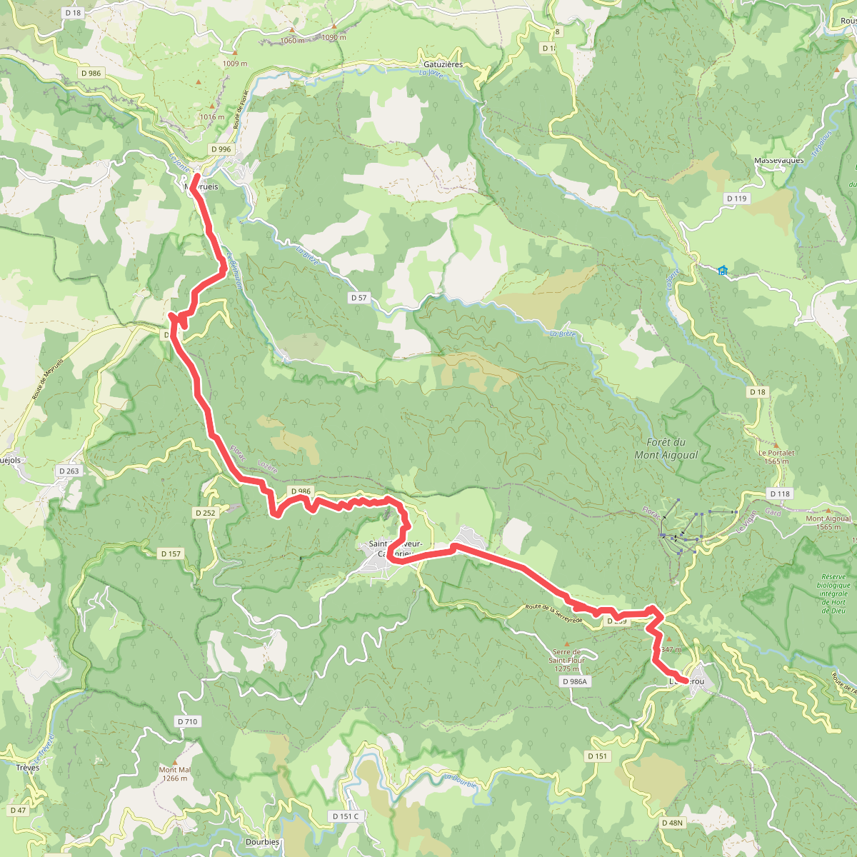
#3. CSG 08 : Meyrueis - L'Espérou
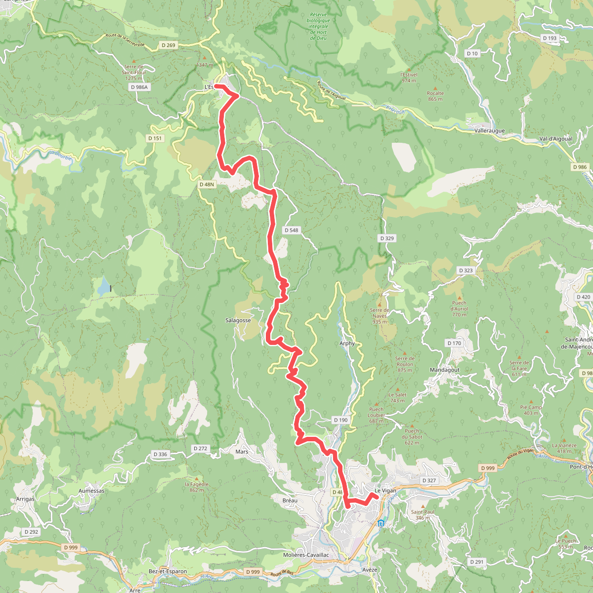
#4. CSG 09 : L'Espérou - Le Vigan
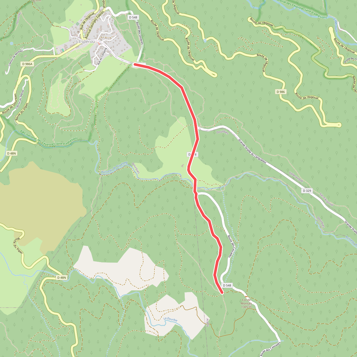
#5. CSG 09A : Déviation
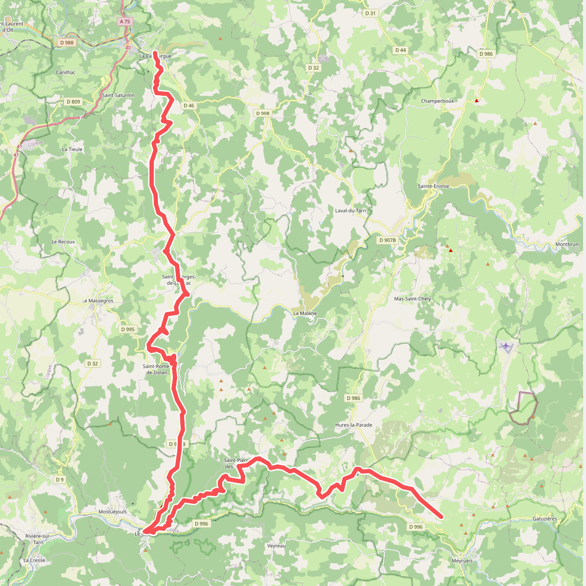
#6. CSG V3 : La Canourgue - Croix de la Croisette
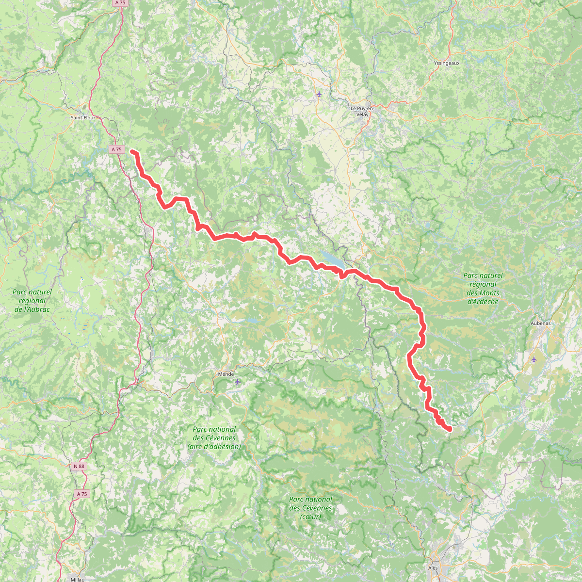
#7. De la Méditerranée à l'Océan · relation 20598291
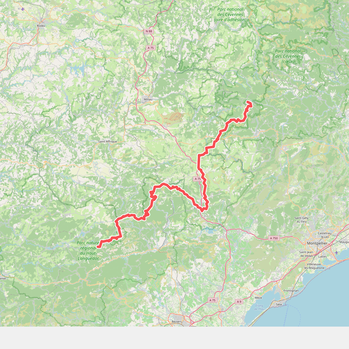
#8. De l'Espérou (Gard) au col de Fontfroide (Hérault)
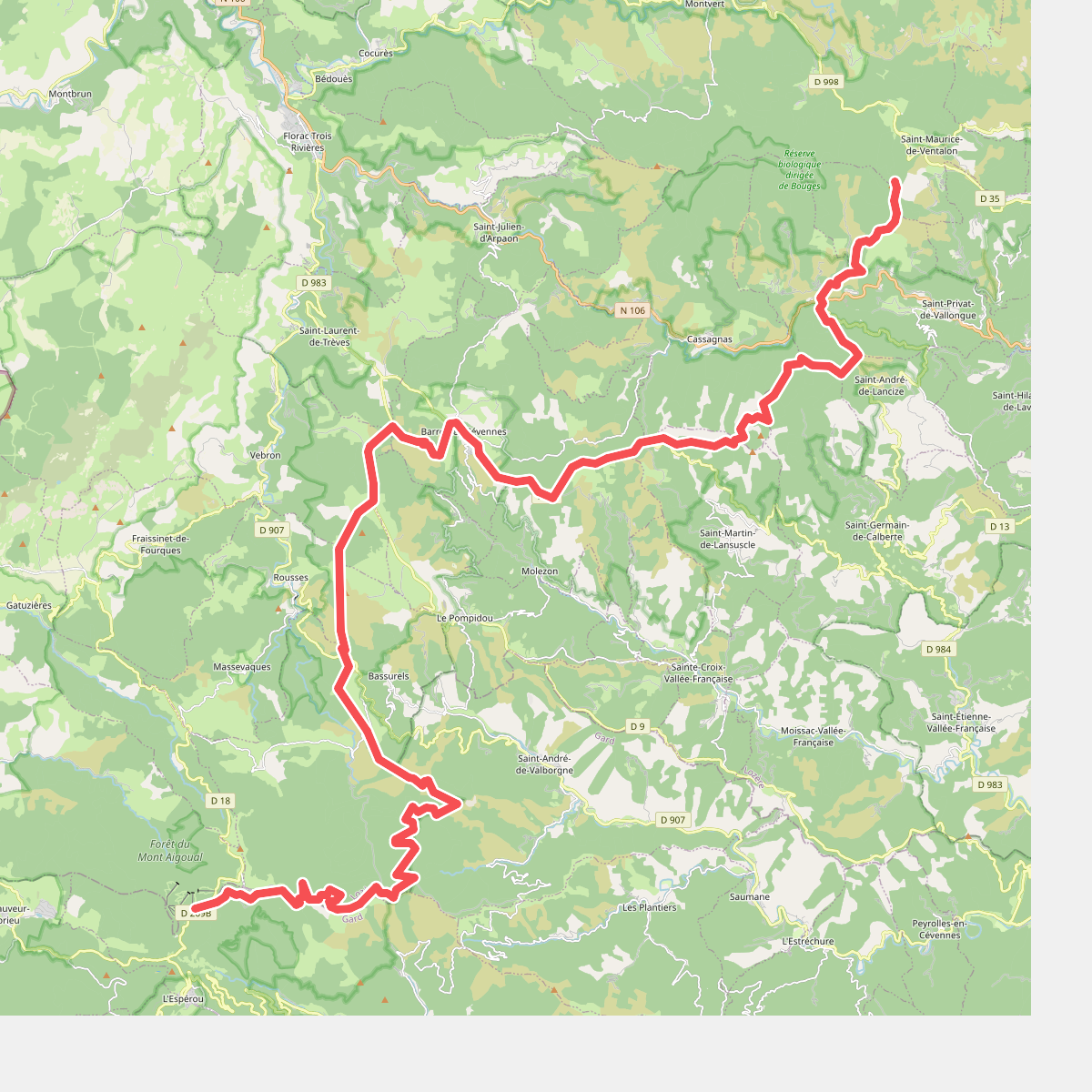
#9. Des Vosges aux Pyrénées 04, Signal du Ventalon - Prat Peyrot
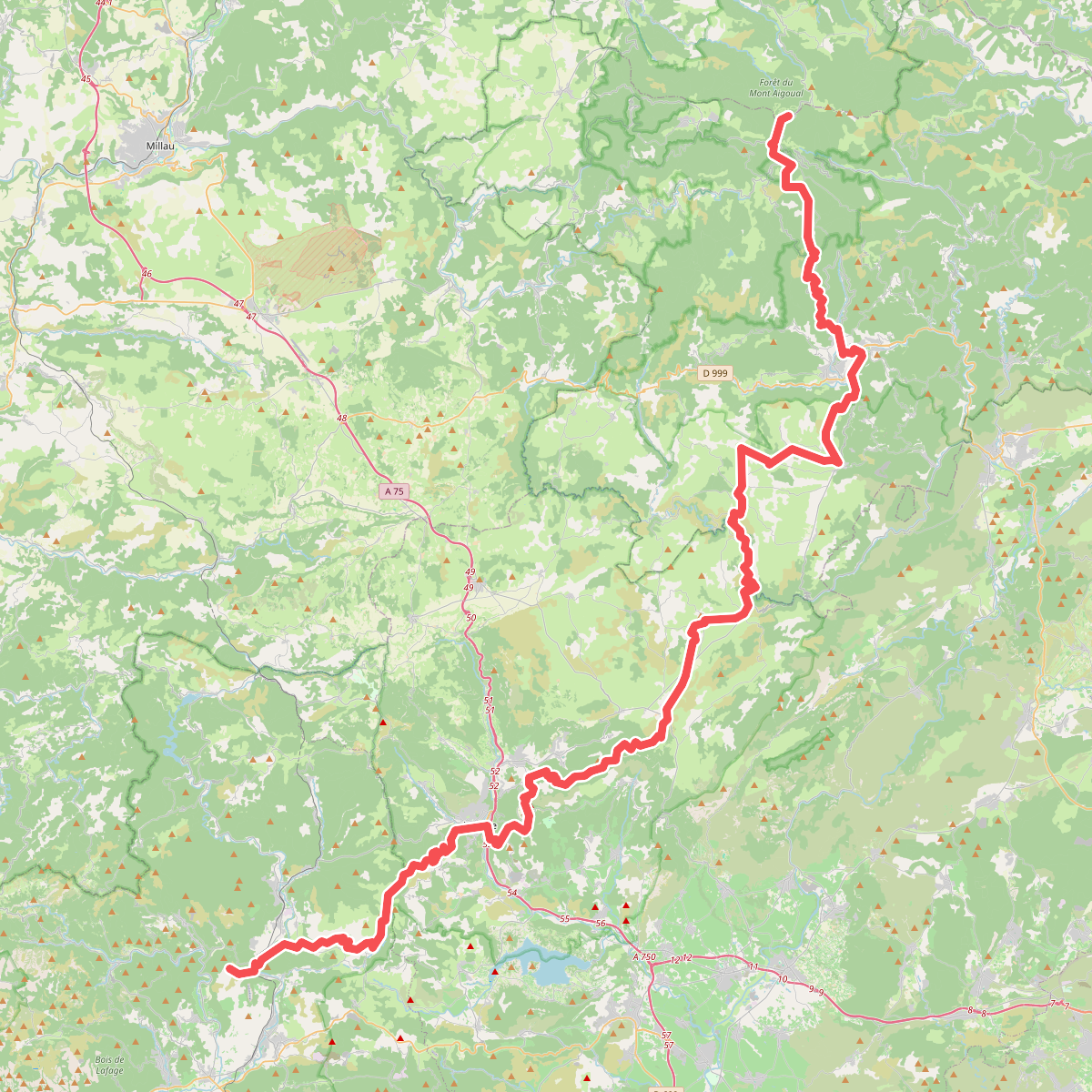
#10. Des Vosges aux Pyrénées 05, Prat Peyrot - Boussagues
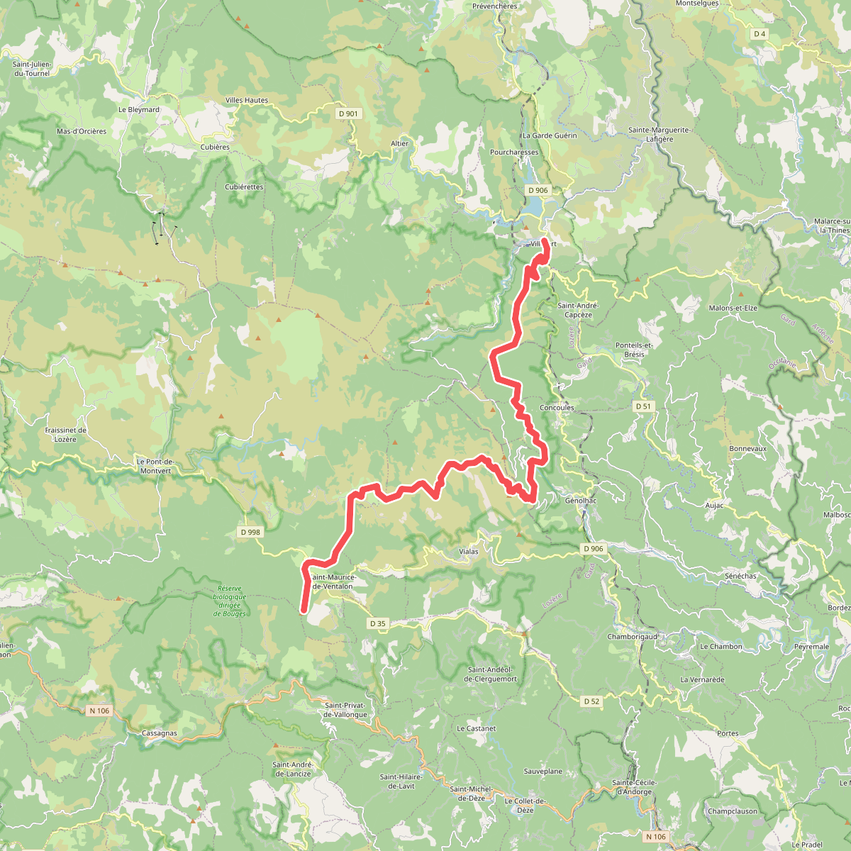
#11. European long distance path E4 · Villefort – Signal de Ventalon