The best hiking routes in Parc national des Cévennes (aire d'adhésion)
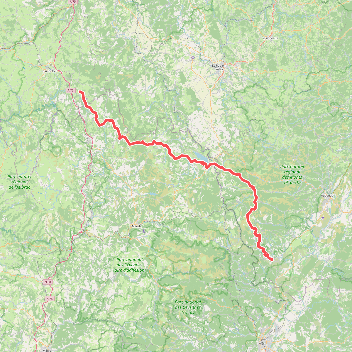
Discover the best walks in Parc national des Cévennes (aire d'adhésion). 17 routes on the map, with descriptions, photos and GPX.
About Parc national des Cévennes (aire d'adhésion)
The Parc national des Cévennes (aire d'adhésion) represents the outer, inhabited buffer zone of the national park, where the landscape is shaped by centuries of traditional agro-pastoralism rather than untouched wilderness. Here, you will walk through a mosaic of terraced chestnut groves, dry limestone plateaus known as causses, and deep schist valleys. Unlike the strictly protected core zone, this area features active farming villages, ancient stone hamlets, and a dense network of historic drovers' paths called drailles. Underfoot, the terrain alternates between rough limestone gravel that can be loose under shoe, hard-packed dirt tracks through chestnut forests, and occasional paved lanes connecting small settlements.
Read more
About Parc national des Cévennes (aire d'adhésion)
The Parc national des Cévennes (aire d'adhésion) represents the outer, inhabited buffer zone of the national park, where the landscape is shaped by centuries of traditional agro-pastoralism rather than untouched wilderness. Here, you will walk through a mosaic of terraced chestnut groves, dry limestone plateaus known as causses, and deep schist valleys. Unlike the strictly protected core zone, this area features active farming villages, ancient stone hamlets, and a dense network of historic drovers' paths called drailles. Underfoot, the terrain alternates between rough limestone gravel that can be loose under shoe, hard-packed dirt tracks through chestnut forests, and occasional paved lanes connecting small settlements.
Read moreThe Parc national des Cévennes (aire d'adhésion) represents the outer, inhabited buffer zone of the national park, where the landscape is shaped by centuries of traditional agro-pastoralism rather than untouched wilderness. Here, you will walk through a mosaic of terraced chestnut groves, dry limestone plateaus known as causses, and deep schist valleys. Unlike the strictly protected core zone, this area features active farming villages, ancient stone hamlets, and a dense network of historic drovers' paths called drailles. Underfoot, the terrain alternates between rough limestone gravel that can be loose under shoe, hard-packed dirt tracks through chestnut forests, and occasional paved lanes connecting small settlements.
This southern French upland is not an alpine environment of jagged peaks and glaciers, but rather a series of vast, undulating high-altitude sweeps cut by steep, forested ravines. On the high causses, the vegetation is sparse, dominated by dry grasses and low shrubs, while the valley sides are densely wooded with oak and chestnut trees. The presence of sheep farming is visible everywhere, from the stone sheep folds to the wide, cleared tracks used for seasonal livestock movement. In May and June, the higher pastures are marked by the yellow blooms of wild broom, contrasting with the grey limestone outcrops.
Choosing a route in this outer zone means deciding between the flat, exposed walking of the limestone plateaus and the steep, shaded climbs of the valleys. The causses offer long, level stretches on stony tracks with little shade, where navigation is straightforward but shelter is minimal. In contrast, the valley trails require constant climbing and descending on uneven, rocky paths shaded by dense canopy. While the most famous trails can see regular foot traffic, many of the communal paths linking the smaller hamlets remain quiet, used primarily by local farmers and occasional walkers.
Hiking routes in Parc national des Cévennes (aire d'adhésion) (17)
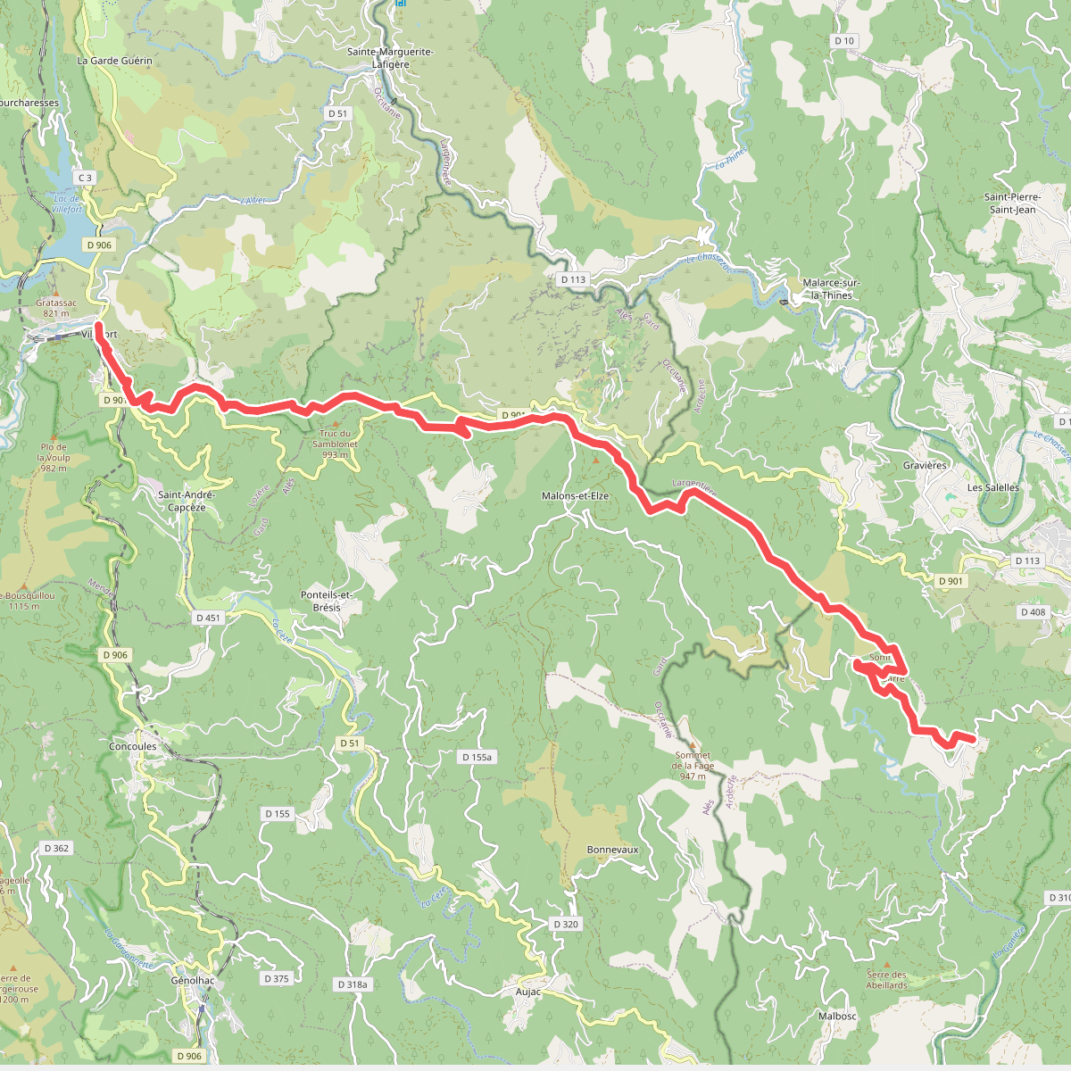
#1. Brahic - Villefort
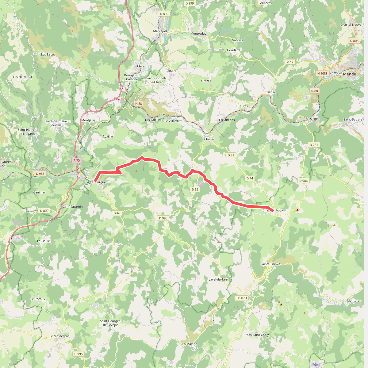
#2. CSG 05 : La Canourgue - Champerboux
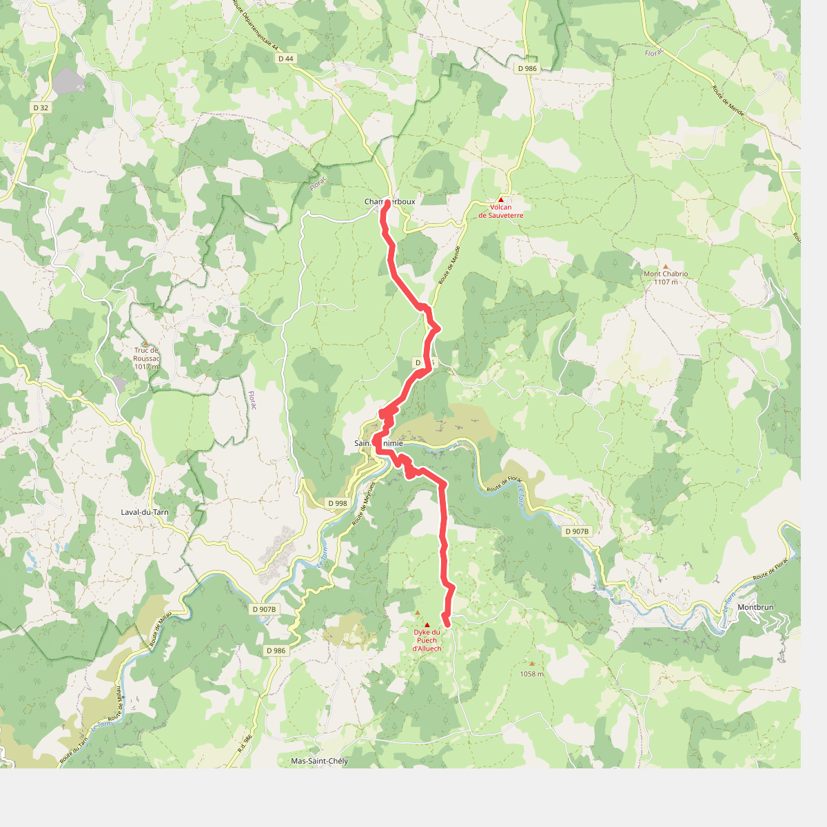
#3. CSG 06C1 : Champerboux - Carrefour GR
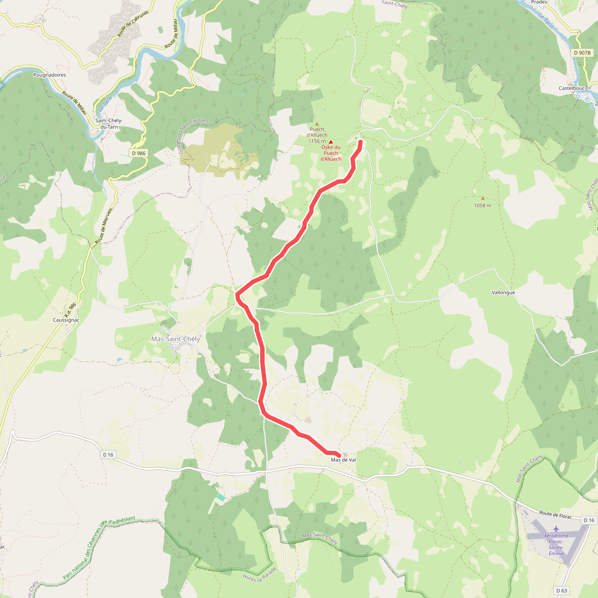
#4. CSG 06C2 : Carrefour GR - Mas de Val
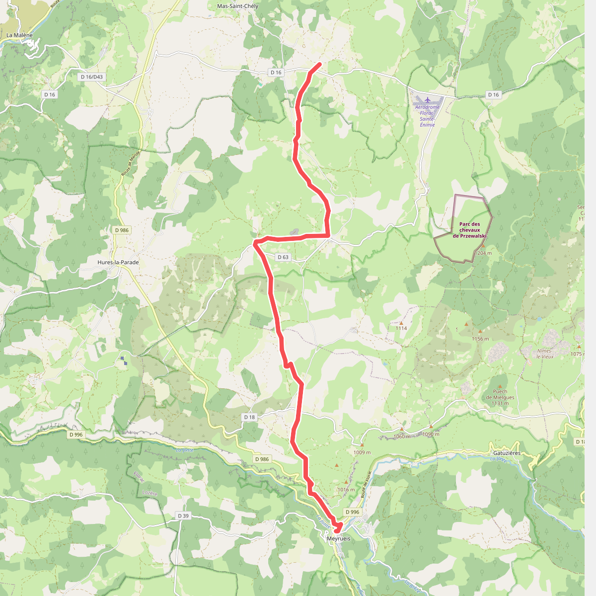
#5. CSG 07 : Mas de Val - Meyrueis
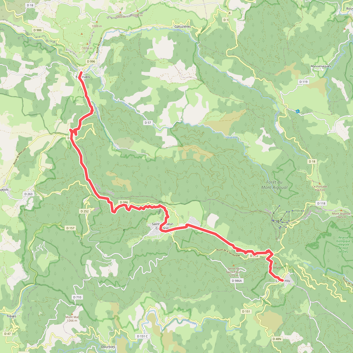
#6. CSG 08 : Meyrueis - L'Espérou
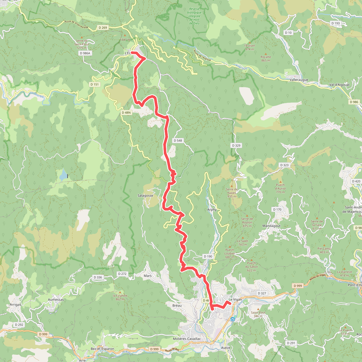
#7. CSG 09 : L'Espérou - Le Vigan
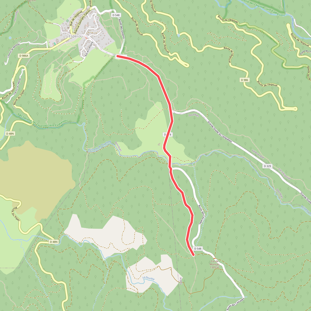
#8. CSG 09A : Déviation
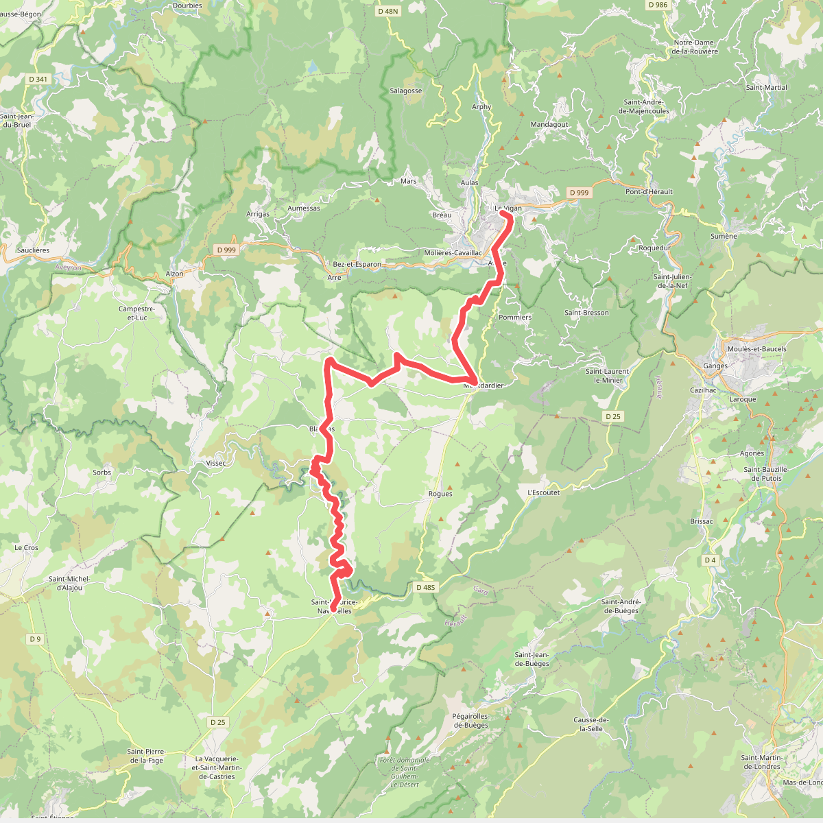
#9. CSG 10 : Le Vigan - Saint-Maurice-Navacelles
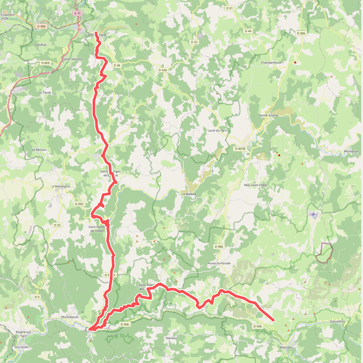
#10. CSG V3 : La Canourgue - Croix de la Croisette
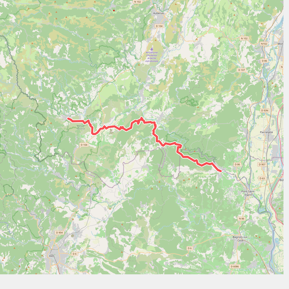
#11. De la Méditerranée à l'Océan · relation 13048165