The best hiking routes in Natura 2000 de Beauce et Vallée de la Conie
Discover the best walks in Natura 2000 de Beauce et Vallée de la Conie. 4 routes on the map, with descriptions, photos and GPX.
About Natura 2000 de Beauce et Vallée de la Conie
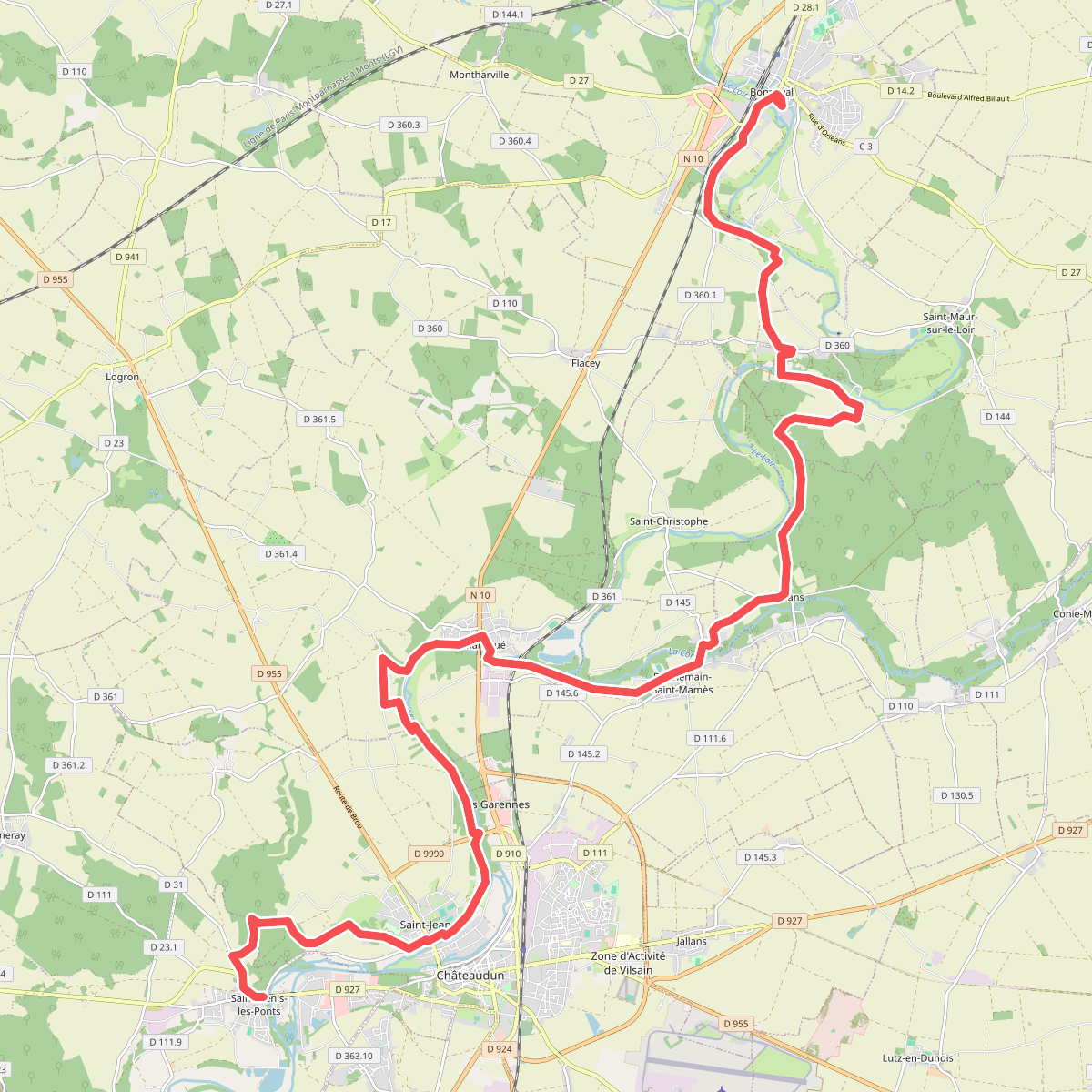
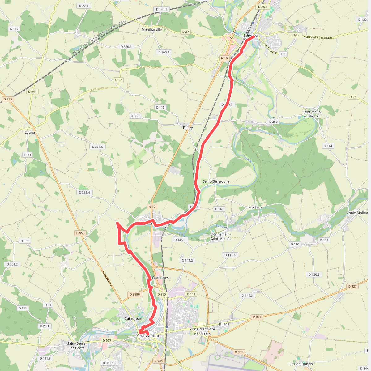
The Natura 2000 de Beauce et Vallée de la Conie presents a stark contrast between two distinct landscapes. On one hand, you will walk across the vast, flat agricultural plateau of the Beauce, where wide dirt tracks cut through open cereal fields. On the other hand, this dry expanse drops suddenly into the damp, green corridor of the Conie valley. This low-lying wetland features peat bogs, reed beds, and small woodland patches, offering a completely different walking environment.
Read more
About Natura 2000 de Beauce et Vallée de la Conie
The Natura 2000 de Beauce et Vallée de la Conie presents a stark contrast between two distinct landscapes. On one hand, you will walk across the vast, flat agricultural plateau of the Beauce, where wide dirt tracks cut through open cereal fields. On the other hand, this dry expanse drops suddenly into the damp, green corridor of the Conie valley. This low-lying wetland features peat bogs, reed beds, and small woodland patches, offering a completely different walking environment.
Read moreThe Natura 2000 de Beauce et Vallée de la Conie presents a stark contrast between two distinct landscapes. On one hand, you will walk across the vast, flat agricultural plateau of the Beauce, where wide dirt tracks cut through open cereal fields. On the other hand, this dry expanse drops suddenly into the damp, green corridor of the Conie valley. This low-lying wetland features peat bogs, reed beds, and small woodland patches, offering a completely different walking environment.
Underfoot, the experience changes with the terrain. The plateau routes consist of hard-packed earth and gravel tracks that run straight between fields, where the landscape is shaped entirely by large-scale farming. Once you descend into the valley, the paths become narrower and grassier, winding close to the slow-flowing, spring-fed waters of the Conie. Here, small wooden footbridges and damp soil replace the dusty agricultural roads.
This area is not a place for dramatic climbs or deep gorges; the elevation changes are gentle and brief. Walkers should expect an open, working agricultural landscape on the heights, contrasted with a quiet, shaded river corridor below. In May, the valley sections are particularly green as the reeds and wetland plants reach their full height, making it the best time to observe the contrast between the dry plains and the marshy valley floor.