

The best hiking routes in Kwade Hoek
Discover the best walks in Kwade Hoek. 12 routes on the map, with descriptions, photos and GPX.
Managed by Natuurmonumenten;Zuid-Hollands Landschap;Delta Nutbedrijven;Rijkswaterstaat;particulieren
About Kwade Hoek
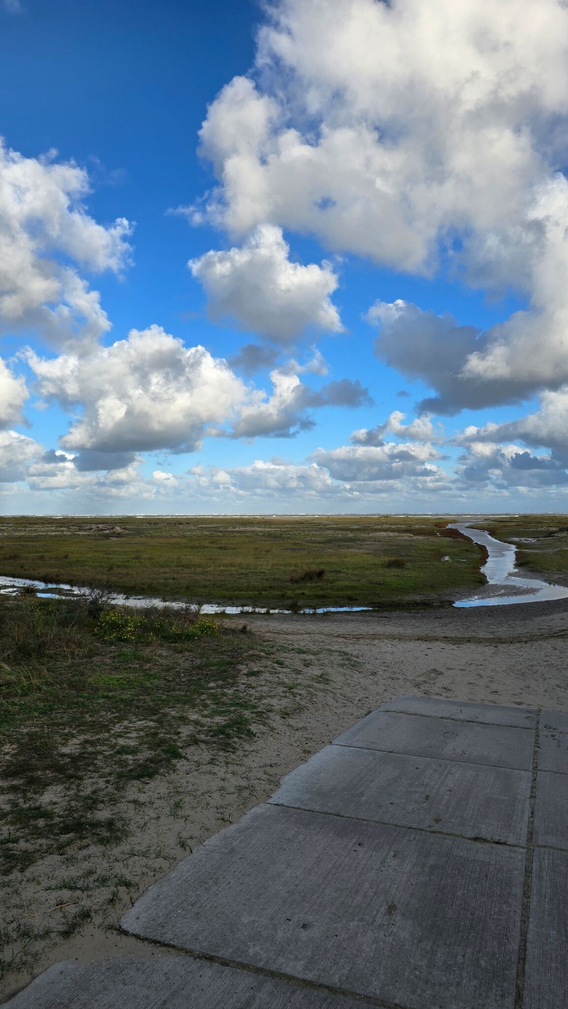
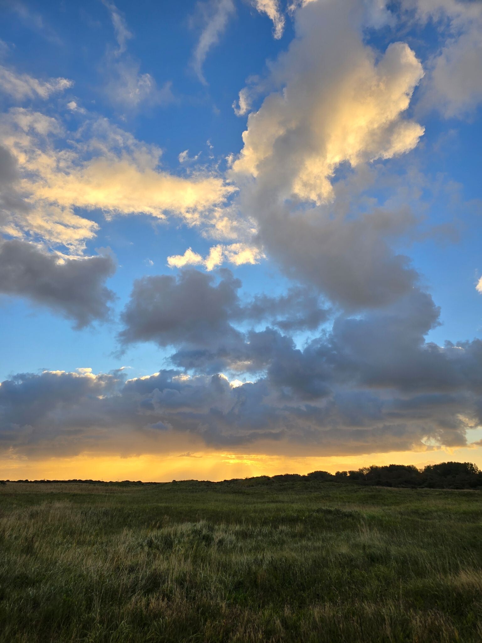
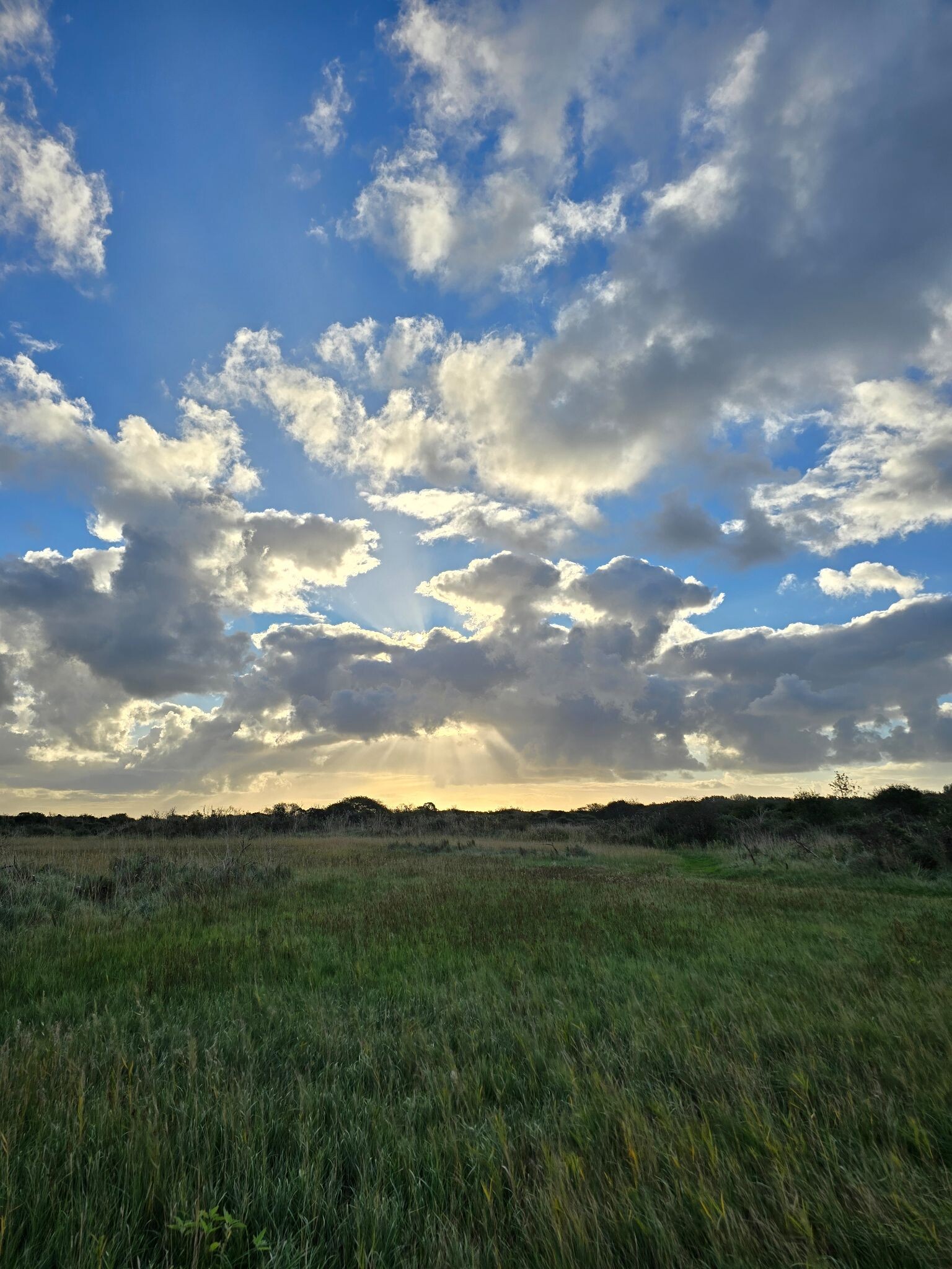
Kwade Hoek is a dynamic coastal nature reserve on Goeree-Overflakkee where the North Sea still has direct access to the land. Unlike closed Dutch dunes, this area lacks a high, continuous sea wall, allowing saltwater to flow into the tidal inlets during high tides. This creates a sharp transition from salty mudflats and salt marshes on the outer edge to brackish grasslands and dry, sandy dunes further inland. Walking here means navigating these distinct zones, which are shaped entirely by the daily rhythm of the tides.
Read more
About Kwade Hoek
Kwade Hoek is a dynamic coastal nature reserve on Goeree-Overflakkee where the North Sea still has direct access to the land. Unlike closed Dutch dunes, this area lacks a high, continuous sea wall, allowing saltwater to flow into the tidal inlets during high tides. This creates a sharp transition from salty mudflats and salt marshes on the outer edge to brackish grasslands and dry, sandy dunes further inland. Walking here means navigating these distinct zones, which are shaped entirely by the daily rhythm of the tides.
Read moreKwade Hoek is a dynamic coastal nature reserve on Goeree-Overflakkee where the North Sea still has direct access to the land. Unlike closed Dutch dunes, this area lacks a high, continuous sea wall, allowing saltwater to flow into the tidal inlets during high tides. This creates a sharp transition from salty mudflats and salt marshes on the outer edge to brackish grasslands and dry, sandy dunes further inland. Walking here means navigating these distinct zones, which are shaped entirely by the daily rhythm of the tides.
The terrain underfoot changes constantly depending on your choice of path. The outer salt marshes consist of soft clay and silt, where you will cross small tidal creeks via simple wooden bridges, though some sections require wading through mud. In contrast, the inner dune ridges offer firmer, sandy tracks through scrub of sea buckthorn and elder. Because the area is actively growing seaward, you can clearly see the age of the landscape reflected in the vegetation, which becomes taller and denser the further you move away from the beach.
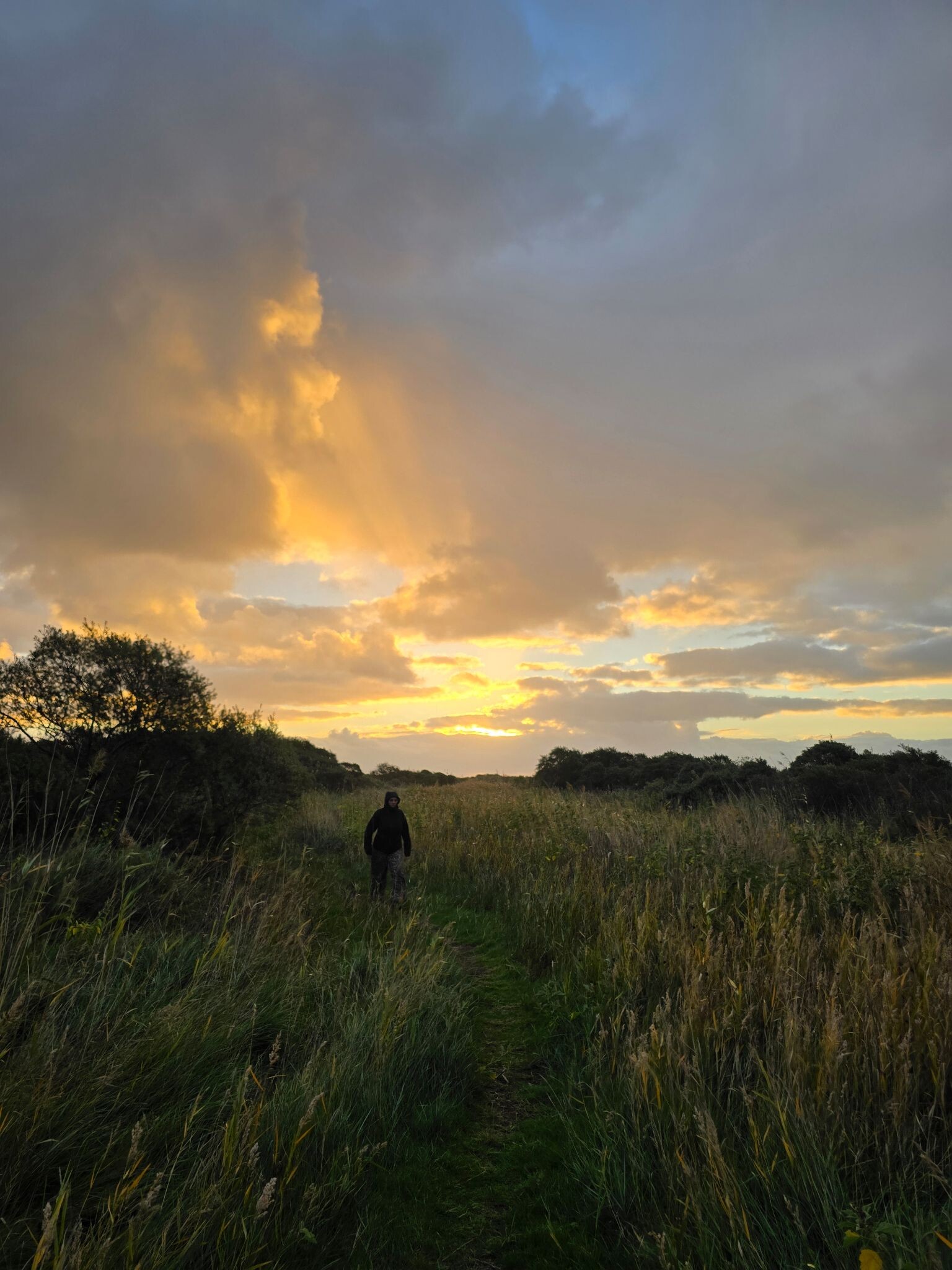
This reserve is best suited for walkers who prefer rugged, unpaved paths and do not mind wet feet. There are no paved promenades or beach pavilions here. While the sandy beach section is easy to navigate, the interior routes through the salt marsh can become waterlogged, particularly during spring tides in autumn. It is a landscape of low-lying vegetation, mud, and sand, offering a direct experience of a natural delta coast rather than a manicured park.
Hiking routes in Kwade Hoek (12)


#1. Wandelroute De Koploper in de duinen van Goeree (deel 2)
Stellendam,Goedereede
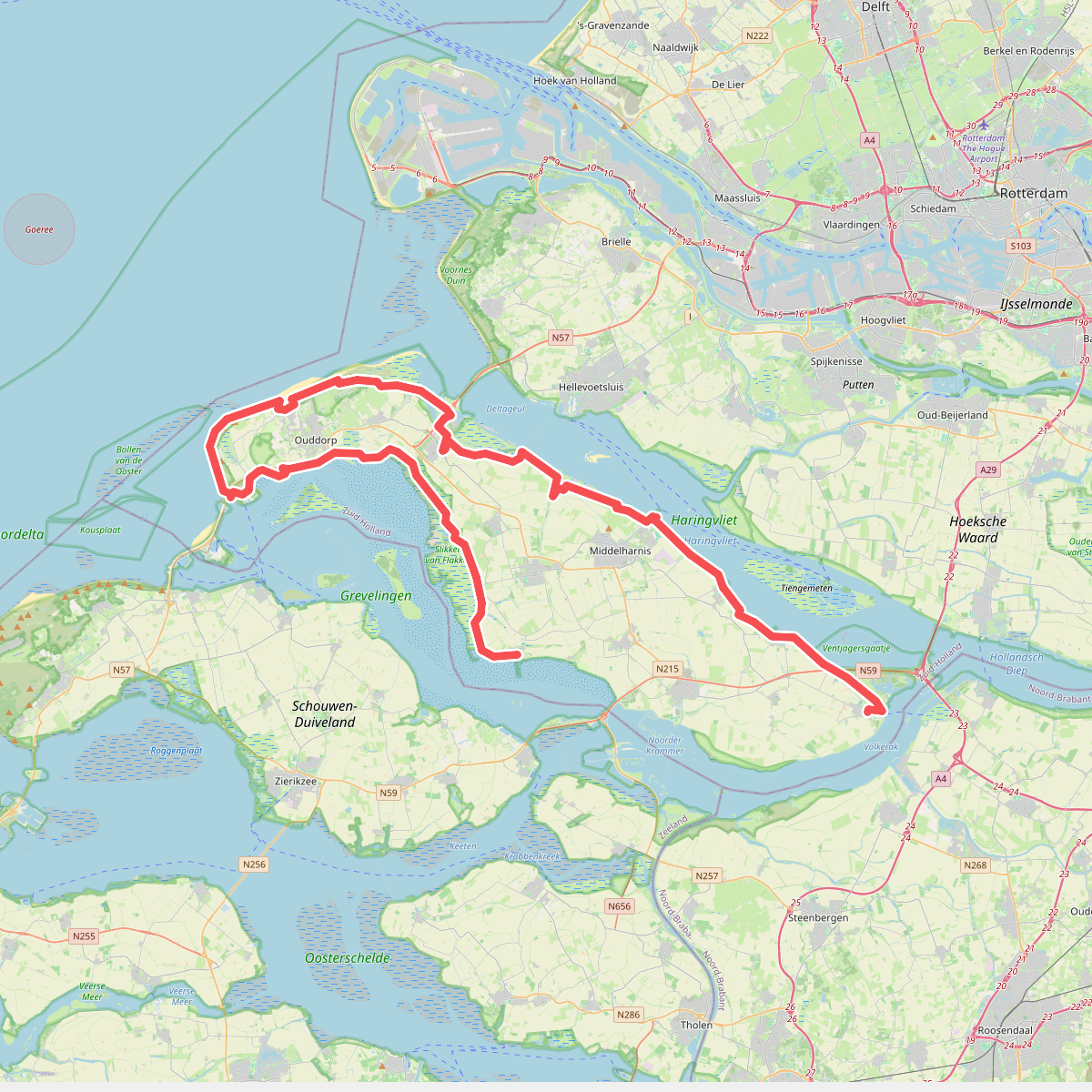
#2. De Omloop
Ooltgensplaat,Den Bommel,Stad aan 't Haringvliet,Middelharnis,Sommelsdijk,Dirksland,Stellendam,Goedereede,Ouddorp,Melissant,Herkingen


#3. Goedereede - Rockanje · Nederlands Kustpad 1 etappe 8
Rockanje,Hellevoetsluis,Stellendam,Goedereede

#4. GR 5 NL - 4 - Rockanje-Goedereede

#5. Hardlooproute De Koploper in de duinen van Goeree
Ouddorp,Goedereede


#6. Brielle - Goedereede · Jacobsweg Die Haghe etappe 5
Brielle,Tinte,Hellevoetsluis,Rockanje,Stellendam,Goedereede
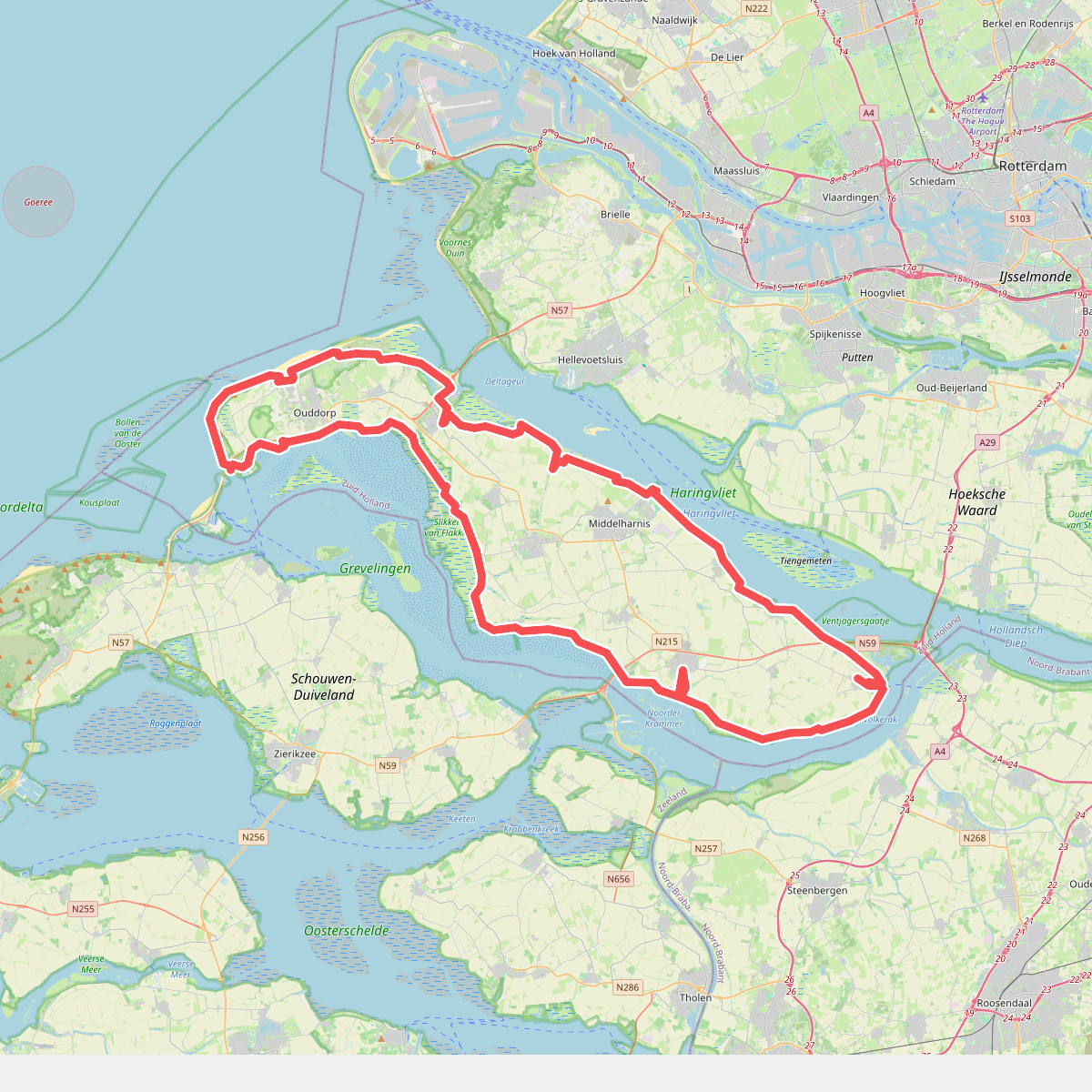
#7. omloop goeree 2026
110km
Ooltgensplaat,Den Bommel,Stad aan 't Haringvliet,Middelharnis,Sommelsdijk,Dirksland,Stellendam,Goedereede,Ouddorp,Melissant,Herkingen,Oude-Tonge


#8. Oostvoorne - Goedereede · GR5 etappe 3
Oostvoorne,Rockanje,Stellendam,Goedereede

#9. Ouddorp naar Rockanje - "De Kraan" · NederRandpad etappe 61
Rockanje,Hellevoetsluis,Stellendam,Goedereede,Ouddorp
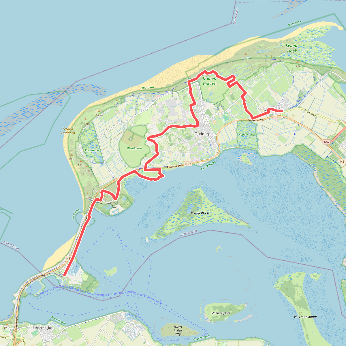


#10. Port Zelande - Goedereede · Nederlands Kustpad 1 etappe 7
Ouddorp,Goedereede

#11. Wandelroute De Koploper in de duinen van Goeree (deel 1)
Ouddorp,Goedereede

#12. Wandelroute door de Kwade Hoek in de Duinen van Goeree
Goedereede




