The best hiking routes in IT4040017 - ZPS - Valle delle Bruciate e Tresinaro
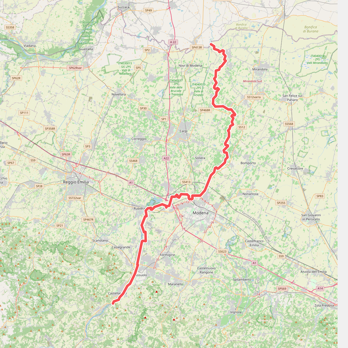
Discover the best walks in IT4040017 - ZPS - Valle delle Bruciate e Tresinaro. 1 routes on the map, with descriptions, photos and GPX.
Managed by Provincia di Modena
About IT4040017 - ZPS - Valle delle Bruciate e Tresinaro
IT4040017 - ZPS - Valle delle Bruciate e Tresinaro offers a walk through a rugged Apennine clay landscape shaped by active erosion. Unlike the forested peaks nearby, this area is defined by badlands, known locally as calanchi, where bare, greyish clay ridges drop into steep, narrow gullies. The vegetation is sparse, dominated by dry grasses and hardy shrubs that cling to the unstable slopes, giving way to small patches of woodland only in the more sheltered depressions.
Read more
About IT4040017 - ZPS - Valle delle Bruciate e Tresinaro
IT4040017 - ZPS - Valle delle Bruciate e Tresinaro offers a walk through a rugged Apennine clay landscape shaped by active erosion. Unlike the forested peaks nearby, this area is defined by badlands, known locally as calanchi, where bare, greyish clay ridges drop into steep, narrow gullies. The vegetation is sparse, dominated by dry grasses and hardy shrubs that cling to the unstable slopes, giving way to small patches of woodland only in the more sheltered depressions.
Read moreIT4040017 - ZPS - Valle delle Bruciate e Tresinaro offers a walk through a rugged Apennine clay landscape shaped by active erosion. Unlike the forested peaks nearby, this area is defined by badlands, known locally as calanchi, where bare, greyish clay ridges drop into steep, narrow gullies. The vegetation is sparse, dominated by dry grasses and hardy shrubs that cling to the unstable slopes, giving way to small patches of woodland only in the more sheltered depressions.
Walking here means navigating clay tracks that follow the contours of the ridges or descend toward the Tresinaro stream bed. The terrain underfoot is highly dependent on the clay soil, which becomes sticky and heavy after wet weather and bakes into hard, cracked earth during the dry summer months of July and August. The paths are generally open and exposed, offering clear views of the geological formations rather than shaded forest cover.
This is a landscape of stark, geological processes rather than manicured trails. You will not find deep, ancient forests or high alpine meadows here, but rather a dry, sun-baked environment where the forces of water and wind are visibly carving the hillsides. It is a quiet, sparsely visited area, suited for those who want to observe the raw, eroding terrain of the Emilia-Romagna foothills up close.