The best hiking routes in IT4040015 - ZPS - Valle di Gruppo
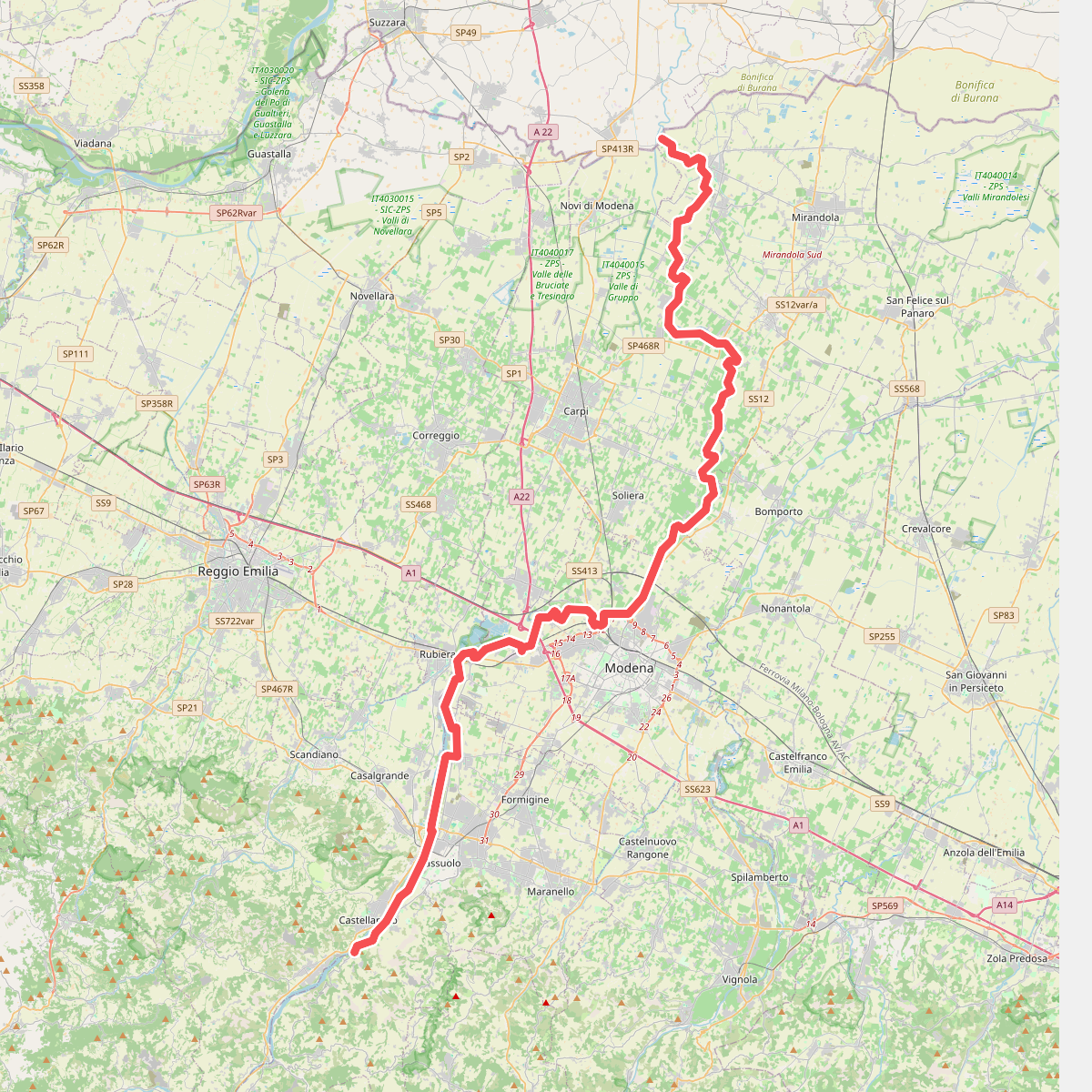
Discover the best walks in IT4040015 - ZPS - Valle di Gruppo. 1 routes on the map, with descriptions, photos and GPX.
Managed by Provincia di Modena
About IT4040015 - ZPS - Valle di Gruppo
IT4040015 - ZPS - Valle di Gruppo offers a quiet walking landscape in the hills of the Modena province, characterized by a mosaic of clay gullies, shrublands, and small patches of woodland. Unlike the rugged, high-altitude peaks of the main Apennine ridge further south, this area presents a gentler, highly eroded terrain where clay formations shape the slopes. Hikers will notice how the vegetation adapts to these difficult, clay-heavy soils, with hardy shrubs colonizing the open slopes while small oak and downy oak woods occupy the more stable pockets of earth.
Read more
About IT4040015 - ZPS - Valle di Gruppo
IT4040015 - ZPS - Valle di Gruppo offers a quiet walking landscape in the hills of the Modena province, characterized by a mosaic of clay gullies, shrublands, and small patches of woodland. Unlike the rugged, high-altitude peaks of the main Apennine ridge further south, this area presents a gentler, highly eroded terrain where clay formations shape the slopes. Hikers will notice how the vegetation adapts to these difficult, clay-heavy soils, with hardy shrubs colonizing the open slopes while small oak and downy oak woods occupy the more stable pockets of earth.
Read moreIT4040015 - ZPS - Valle di Gruppo offers a quiet walking landscape in the hills of the Modena province, characterized by a mosaic of clay gullies, shrublands, and small patches of woodland. Unlike the rugged, high-altitude peaks of the main Apennine ridge further south, this area presents a gentler, highly eroded terrain where clay formations shape the slopes. Hikers will notice how the vegetation adapts to these difficult, clay-heavy soils, with hardy shrubs colonizing the open slopes while small oak and downy oak woods occupy the more stable pockets of earth.
Underfoot, the paths are primarily dirt tracks and clay trails that can feel firm and compact during dry periods but turn slick and heavy after rainfall. The landscape is defined by these changing ground conditions and the visible signs of water erosion, which carve deep fissures into the bare hillsides. There are no boardwalks or paved promenades here, meaning walkers should expect a rustic, natural surface that requires careful footing.
In late spring, around May, the open clay slopes are dotted with wild broom in bloom, providing a sharp contrast to the greyish-blue clay soils. This is a functional, rural landscape where quiet agricultural plots border the protected zones, making it an ideal choice for those who prefer observing subtle geological processes and quiet hillside habitats over dramatic mountain vistas.