The best hiking routes in IT4030022 - SIC - Rio Tassaro
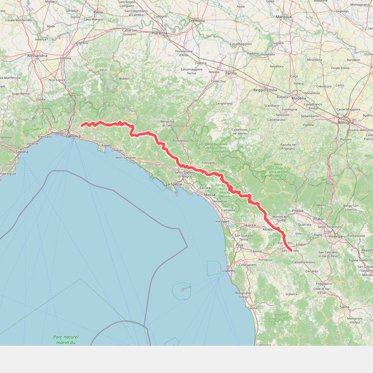
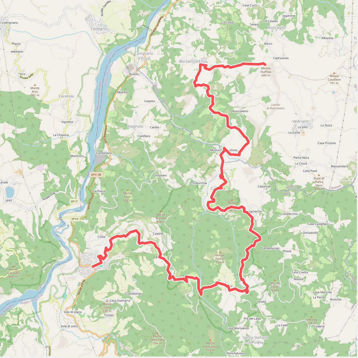
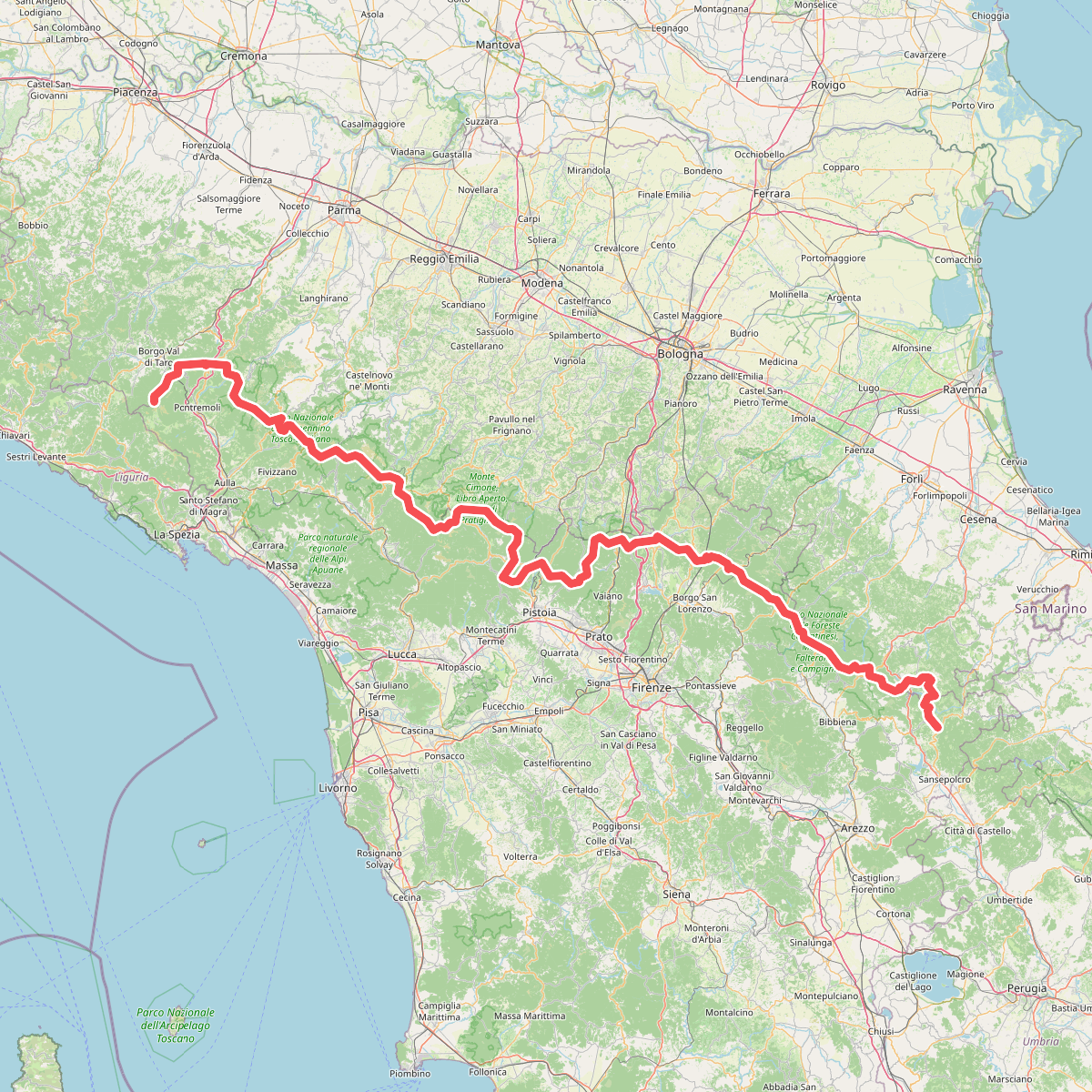
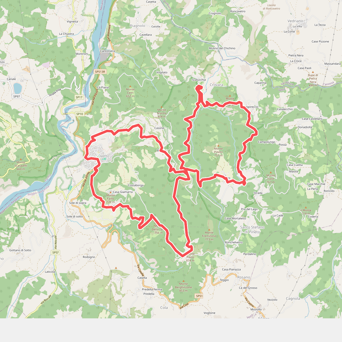
Discover the best walks in IT4030022 - SIC - Rio Tassaro. 4 routes on the map, with descriptions, photos and GPX.
Managed by Provincia di Reggio Emilia
About IT4030022 - SIC - Rio Tassaro
IT4030022 - SIC - Rio Tassaro protects a rugged, deeply incised valley in the Apennine foothills of Reggio Emilia. Unlike the flatter agricultural plains nearby, this area is defined by steep sandstone cliffs, dense chestnut and oak woodlands, and the constant presence of the Tassaro stream. The landscape is shaped by water erosion, which has carved out narrow gorges and exposed grey rock strata that you will see rising directly from the forest floor.
Read more
About IT4030022 - SIC - Rio Tassaro
IT4030022 - SIC - Rio Tassaro protects a rugged, deeply incised valley in the Apennine foothills of Reggio Emilia. Unlike the flatter agricultural plains nearby, this area is defined by steep sandstone cliffs, dense chestnut and oak woodlands, and the constant presence of the Tassaro stream. The landscape is shaped by water erosion, which has carved out narrow gorges and exposed grey rock strata that you will see rising directly from the forest floor.
Read moreIT4030022 - SIC - Rio Tassaro protects a rugged, deeply incised valley in the Apennine foothills of Reggio Emilia. Unlike the flatter agricultural plains nearby, this area is defined by steep sandstone cliffs, dense chestnut and oak woodlands, and the constant presence of the Tassaro stream. The landscape is shaped by water erosion, which has carved out narrow gorges and exposed grey rock strata that you will see rising directly from the forest floor.
Underfoot, walkers will find a mix of earthy woodland paths, loose sandstone gravel, and damp tracks near the stream bed. The terrain is uneven and often steep, requiring steady footing rather than offering a casual stroll. The tree canopy keeps the valley floor shaded, creating a humid microclimate where mosses, ferns, and liverworts carpet the damp rock faces and fallen logs near the water.
This is a quiet, working landscape where ancient chestnut orchards, once vital for local survival, now blend into wilder secondary forest. In October, the forest floor is thick with fallen chestnuts and dry leaves, while the stream flow varies depending on recent upland drainage. There are no wide panoramic views here; instead, the walk offers an intimate, enclosed experience focused on the geology of the stream bed and the dense hillside canopy.