

The best hiking routes in Duinen Goeree
Discover the best walks in Duinen Goeree. 16 routes on the map, with descriptions, photos and GPX.
Managed by Natuurmonumenten;Zuid-Hollands Landschap;Delta Nutbedrijven;Rijkswaterstaat;particulieren
About Duinen Goeree
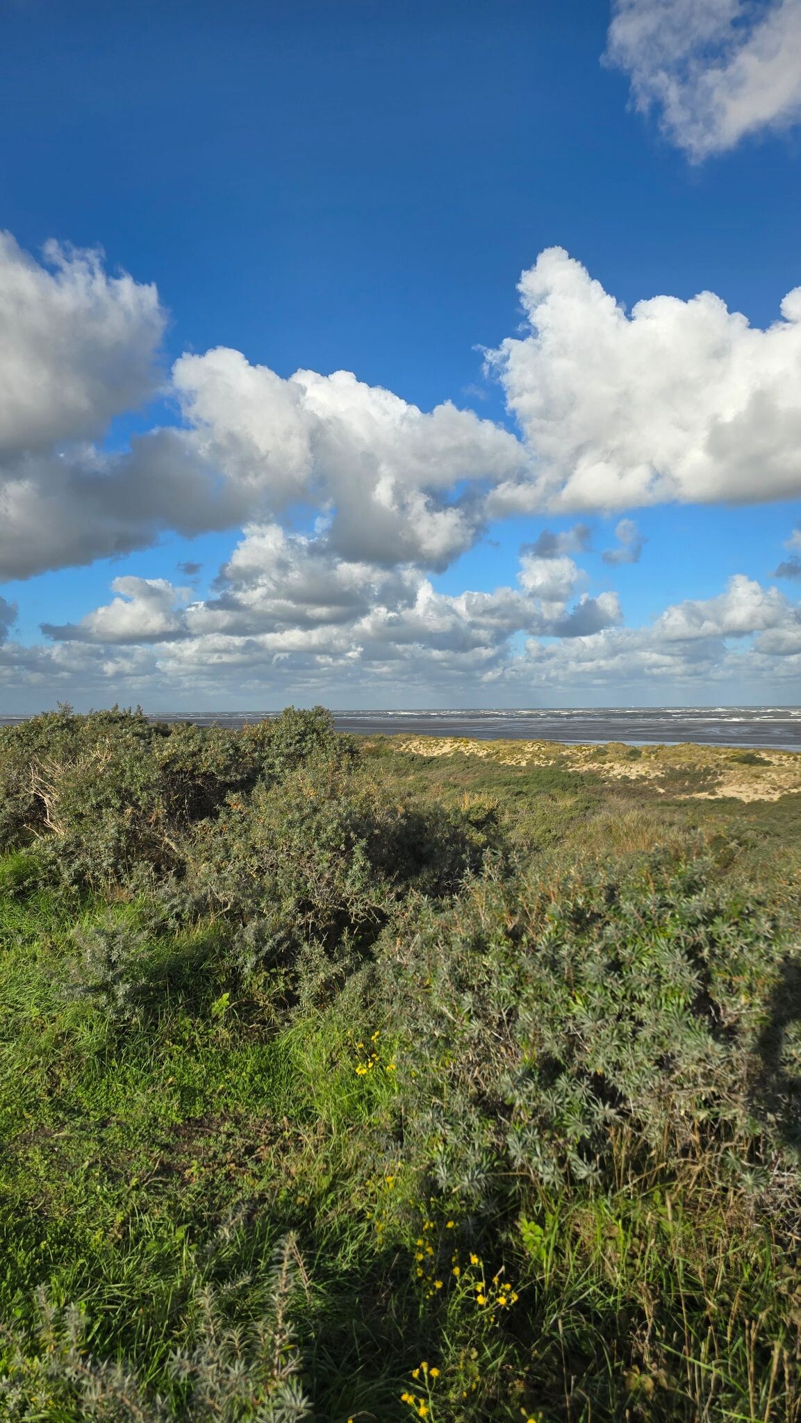
Duinen Goeree offers a distinct transition between salt-marsh legacy and active coastal dunes. Unlike the flat polders nearby, this area is defined by a series of low, undulating sand ridges and damp dune slacks. Walkers will notice a sharp contrast between the dry, scrubby outer dunes dominated by sea buckthorn and the wetter, grassy valleys where orchids bloom in June. The landscape is shaped by its history of shifting sands and gradual land reclamation, leaving a mix of wild, wind-sculpted dunes and older, more stable wooded sections.
Read more
About Duinen Goeree
Duinen Goeree offers a distinct transition between salt-marsh legacy and active coastal dunes. Unlike the flat polders nearby, this area is defined by a series of low, undulating sand ridges and damp dune slacks. Walkers will notice a sharp contrast between the dry, scrubby outer dunes dominated by sea buckthorn and the wetter, grassy valleys where orchids bloom in June. The landscape is shaped by its history of shifting sands and gradual land reclamation, leaving a mix of wild, wind-sculpted dunes and older, more stable wooded sections.
Read moreDuinen Goeree offers a distinct transition between salt-marsh legacy and active coastal dunes. Unlike the flat polders nearby, this area is defined by a series of low, undulating sand ridges and damp dune slacks. Walkers will notice a sharp contrast between the dry, scrubby outer dunes dominated by sea buckthorn and the wetter, grassy valleys where orchids bloom in June. The landscape is shaped by its history of shifting sands and gradual land reclamation, leaving a mix of wild, wind-sculpted dunes and older, more stable wooded sections.
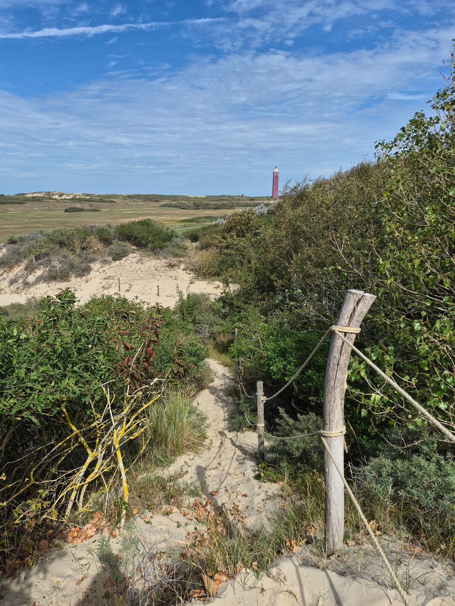
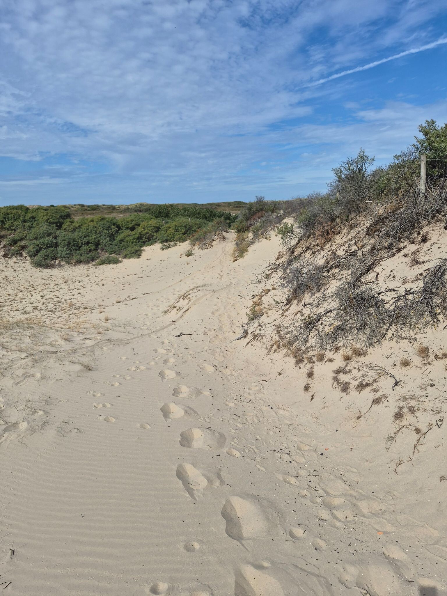
Underfoot, the terrain varies from loose, deep sand on the high ridges to firmer, damp soil in the low-lying slacks. Some paths are paved or reinforced with wood to protect the fragile vegetation, while others are simple sandy tracks that require more effort to traverse. The vegetation changes rapidly with the elevation, shifting from hardy beach grasses on the exposed slopes to dense thickets of birch and willow in the sheltered hollows.
This is not a place of dramatic cliffs or deep valleys, but rather a gently rolling landscape of subtle elevation changes. The area is managed by several organizations, resulting in a patchwork of open access zones and protected breeding grounds. While the main paths near the beach access points can be busy with visitors, the narrower inland trails through the damp slacks offer a much quieter walking experience.
Hiking routes in Duinen Goeree (16)

#1. Wandelroute Volgerland op Goeree, Zuid-Holland
Ouddorp


#2. Wandelroute De Koploper in de duinen van Goeree (deel 2)
Stellendam,Goedereede
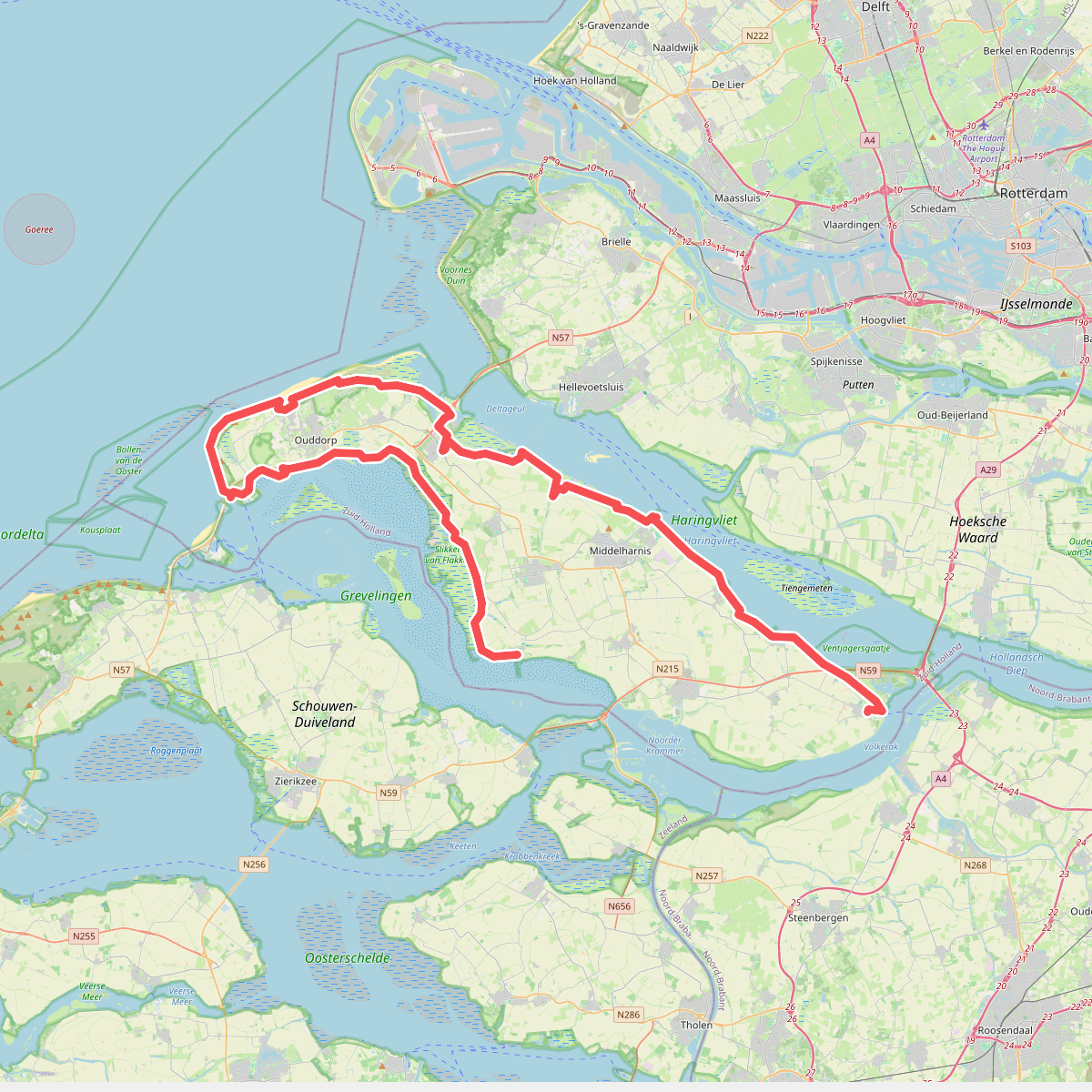
#3. De Omloop
Ooltgensplaat,Den Bommel,Stad aan 't Haringvliet,Middelharnis,Sommelsdijk,Dirksland,Stellendam,Goedereede,Ouddorp,Melissant,Herkingen

#4. Ellemeet naar Ouddorp - "Remy" · NederRandpad etappe 60
Ouddorp,Scharendijke,Ellemeet


#5. Goedereede - Rockanje · Nederlands Kustpad 1 etappe 8
Rockanje,Hellevoetsluis,Stellendam,Goedereede

#6. GR 5 NL - 4 - Rockanje-Goedereede

#7. Hardlooproute De Koploper in de duinen van Goeree
Ouddorp,Goedereede


#8. Brielle - Goedereede · Jacobsweg Die Haghe etappe 5
Brielle,Tinte,Hellevoetsluis,Rockanje,Stellendam,Goedereede


#9. Goedereede - Renesse · Jacobsweg Die Haghe etappe 6
Goedereede,Ouddorp,Scharendijke,Renesse
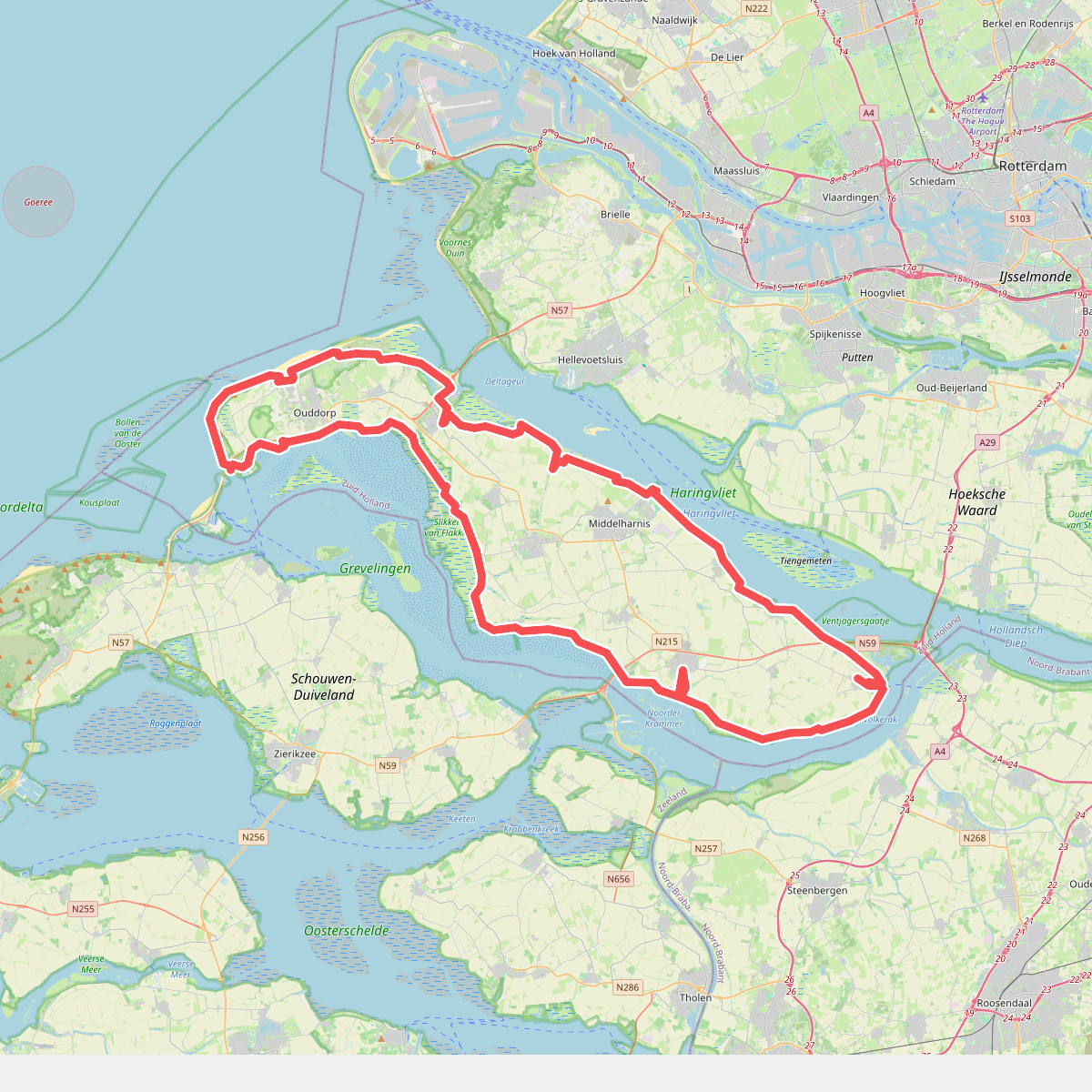
#10. omloop goeree 2026
110km
Ooltgensplaat,Den Bommel,Stad aan 't Haringvliet,Middelharnis,Sommelsdijk,Dirksland,Stellendam,Goedereede,Ouddorp,Melissant,Herkingen,Oude-Tonge


#11. Oostvoorne - Goedereede · GR5 etappe 3
Oostvoorne,Rockanje,Stellendam,Goedereede

#12. Ouddorp naar Rockanje - "De Kraan" · NederRandpad etappe 61
Rockanje,Hellevoetsluis,Stellendam,Goedereede,Ouddorp




