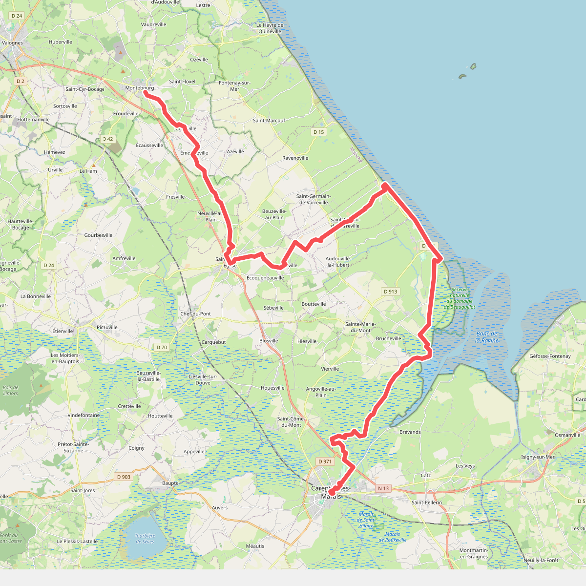
The best hiking routes in Basses Vallées du Cotentin et Baie des Veys
Discover the best walks in Basses Vallées du Cotentin et Baie des Veys. 16 routes on the map, with descriptions, photos and GPX.
About Basses Vallées du Cotentin et Baie des Veys
The Basses Vallées du Cotentin et Baie des Veys is a vast, low-lying wetland system where the rivers Douve, Taute, Aure, and Vire meet the sea. This landscape is defined by its seasonal transformation, known locally as the blanchis. From December to March, the inland grazing meadows flood completely, turning the valleys into shallow, temporary lakes. Walkers will find a flat terrain dominated by drainage ditches, rows of pollarded willows, and wet alluvial pastures that contrast with the salty mudflats and salt marshes of the bay itself.
Read more
About Basses Vallées du Cotentin et Baie des Veys
The Basses Vallées du Cotentin et Baie des Veys is a vast, low-lying wetland system where the rivers Douve, Taute, Aure, and Vire meet the sea. This landscape is defined by its seasonal transformation, known locally as the blanchis. From December to March, the inland grazing meadows flood completely, turning the valleys into shallow, temporary lakes. Walkers will find a flat terrain dominated by drainage ditches, rows of pollarded willows, and wet alluvial pastures that contrast with the salty mudflats and salt marshes of the bay itself.
Read moreThe Basses Vallées du Cotentin et Baie des Veys is a vast, low-lying wetland system where the rivers Douve, Taute, Aure, and Vire meet the sea. This landscape is defined by its seasonal transformation, known locally as the blanchis. From December to March, the inland grazing meadows flood completely, turning the valleys into shallow, temporary lakes. Walkers will find a flat terrain dominated by drainage ditches, rows of pollarded willows, and wet alluvial pastures that contrast with the salty mudflats and salt marshes of the bay itself.
Underfoot, the paths vary significantly depending on your proximity to the coast. Inland routes follow grassy dikes, farm tracks, and clay paths that can be soft and heavy. Near the estuary, the terrain shifts to sandy shores, salt meadows, and tidal mud. There are no cliffs or rolling hills here; the elevation remains barely above sea level, meaning your perspective is entirely at eye level with the grazing cattle and nesting wading birds.
Choosing where to walk depends on whether you prefer the enclosed, bocage-like feel of the inland marshes or the wide, open estuary of the Baie des Veys. The inland dikes offer close-up views of traditional drainage gates and sluices, which control the water levels. Along the bay, the focus shifts to the maritime influence, where the tide actively reshapes the shoreline twice a day, exposing vast mudflats that attract thousands of migratory waterfowl.
Hiking routes in Basses Vallées du Cotentin et Baie des Veys (16)

#1. Chemin de Caen

#2. Eglises et Marais de la Taute
Auxais,Raids

#3. Europese wandelroute E9 · GR 223

#4. Europese wandelroute E9 · GR 223
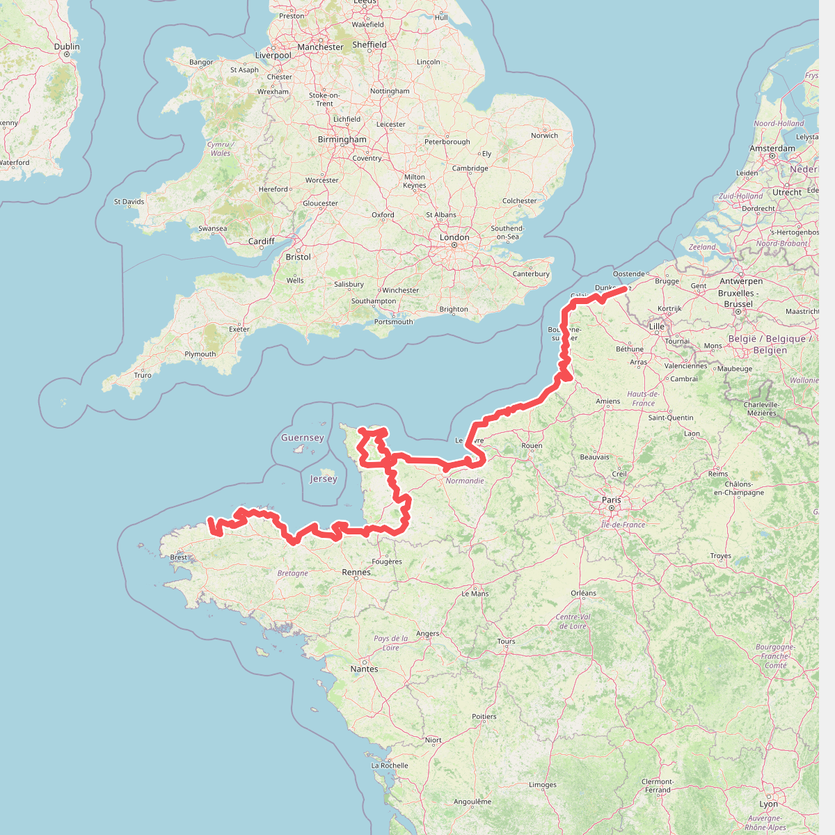
#5. Eurovelo 4
Roscoff,Saint-Pol-de-Léon,Plouénan,Taulé,Saint-Martin-des-Champs,Morlaix,Plouezoc'h,Plougasnou,Saint-Jean-du-Doigt,Guimaëc,Locquirec,Plestin-les-Grèves,Saint-Michel-en-Grève,Ploumilliau,Ploubezre,Lannion,Trébeurden,Pleumeur-Bodou,Trégastel,Perros-Guirec,Louannec,Camlez,Penvénan,Plouguiel,Trédarzec,Pleumeur-Gautier,Lézardrieux,Paimpol,Plouézec,Plouha,Tréveneuc,Binic-Étables-sur-Mer,Pordic,Plérin,Saint-Brieuc,Langueux,Hillion,Lamballe-Armor,Pléneuf-Val-André,Erquy,Fréhel,Plévenon,Pléboulle,Matignon,Saint-Cast-le-Guildo,Beaussais-sur-Mer,Tréméreuc,Plouër-sur-Rance,Saint-Suliac,Saint-Père-Marc-en-Poulet,Saint-Malo,Saint-Coulomb,Cancale,Saint-Méloir-des-Ondes,Hirel,Cherrueix,France métropolitaine,Roz-sur-Couesnon,Pontorson,Courtils,Céaux,Poilley,Ducey-les-Chéris,Isigny-le-Buat,Grandparigny,Romagny Fontenay,Saint-Clément-Rancoudray,Sourdeval,Vire Normandie,Souleuvre-en-Bocage,Pont-Bellanger,Tessy-Bocage,Fourneaux,Condé-sur-Vire,Bourgvallées,Saint-Lô,Agneaux,Pont-Hébert,Airel

#6. Le Cotentin des Sortilèges

#7. Le Marais Saint-Clair
Marchésieux

#8. Le Mont de Doville

#9. Les maisons en terre
Marchésieux,Saint-Martin-d'Aubigny

#10. Les sept lieux de la lande et du bocage
Saint-Patrice-de-Claids,Laulne,Gonfreville

#11. Littoral de la Normandie · GR 223