

The best hiking routes in Flemish Brabant
Discover the best walks in Flemish Brabant. 319 routes on the map, with descriptions, photos and GPX.
About Flemish Brabant
Flemish Brabant is not a region of dramatic peaks or deep gorges, but rather one of gentle, rolling farmland, sunken lanes, and ancient beech forests. The landscape is split by its soils. To the south, the heavy loam supports dense, towering woodlands and deep hollow roads carved out by centuries of cart traffic and rainwater. In contrast, the northern and eastern parts of the province transition into flatter, sandier soils where pine trees and open heathland become more common underfoot.
Read more
About Flemish Brabant
Flemish Brabant is not a region of dramatic peaks or deep gorges, but rather one of gentle, rolling farmland, sunken lanes, and ancient beech forests. The landscape is split by its soils. To the south, the heavy loam supports dense, towering woodlands and deep hollow roads carved out by centuries of cart traffic and rainwater. In contrast, the northern and eastern parts of the province transition into flatter, sandier soils where pine trees and open heathland become more common underfoot.
Read moreFlemish Brabant is not a region of dramatic peaks or deep gorges, but rather one of gentle, rolling farmland, sunken lanes, and ancient beech forests. The landscape is split by its soils. To the south, the heavy loam supports dense, towering woodlands and deep hollow roads carved out by centuries of cart traffic and rainwater. In contrast, the northern and eastern parts of the province transition into flatter, sandier soils where pine trees and open heathland become more common underfoot.
Within the Nationaal Park Brabantse Wouden, you will experience the grand scale of the Sonian Forest, where massive beeches form a high canopy that keeps the forest floor relatively clear. Nearby, the Hallerbos is famous for its purple bluebell carpet in late April, though this spectacle draws large crowds to its clay paths. If you prefer quieter trails, the Dijle valley offers wetter, grassy paths running through marshy riverbanks and willow stands.
Walking here means navigating a landscape heavily shaped by historical land division. You will constantly step between dense woodland boundaries, open sugar beet fields, and small village edges. It is a varied terrain where a solid pair of boots is useful for the muddy hollow paths, but you are never far from a paved village lane.
Nature areas in Flemish Brabant
Zoom or pan for more routes
Hiking routes in Flemish Brabant (319)
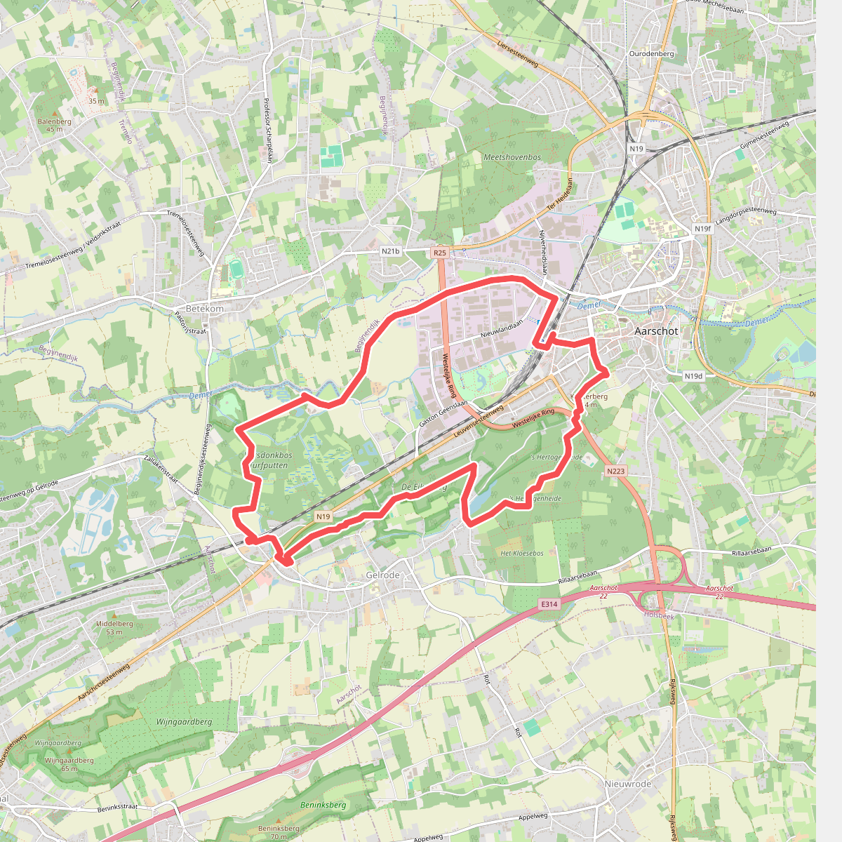
#1. 's Hertogenheide-wandeling
Aarschot
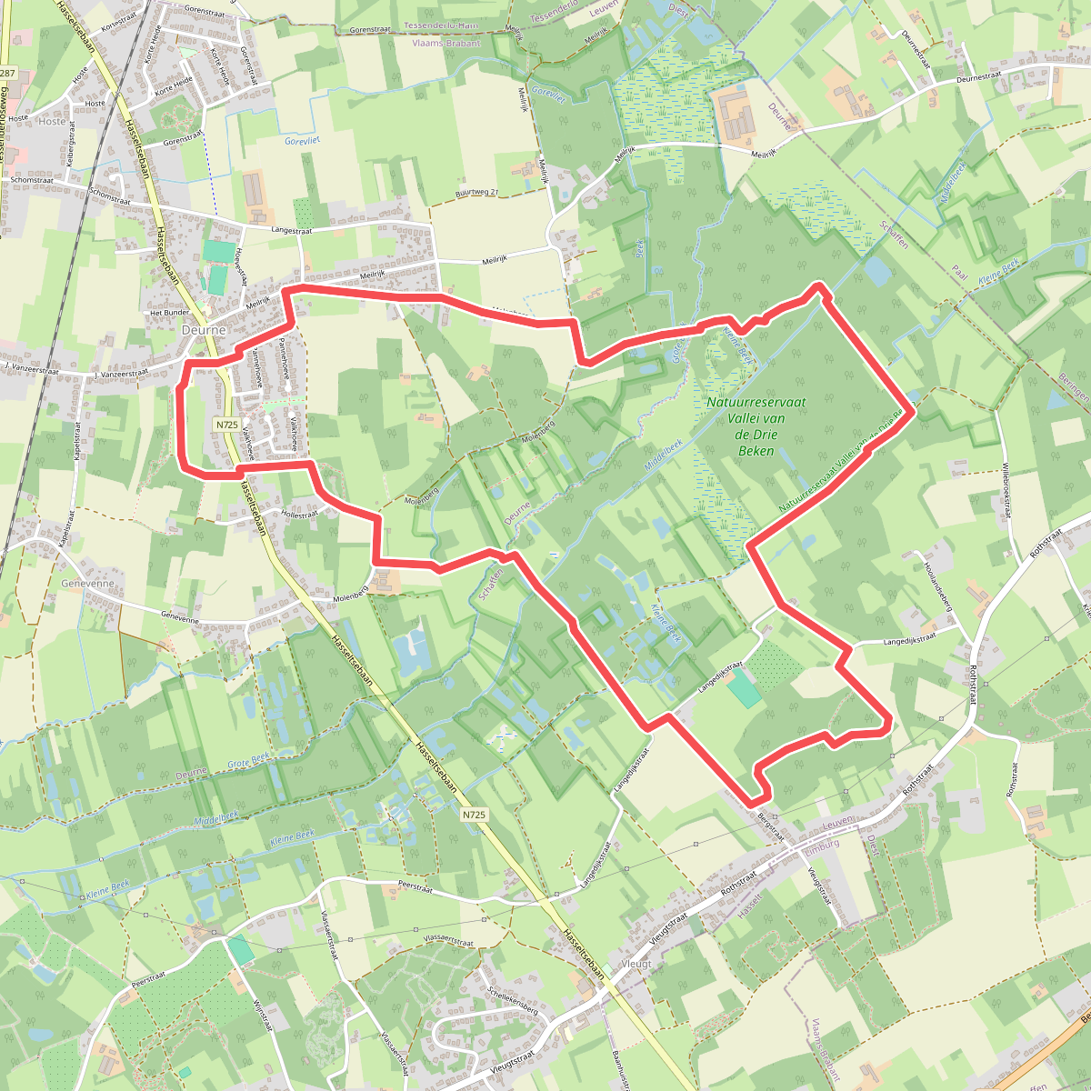
#2. Vallei van de Drie Bekenwandeling (rood)
Diest
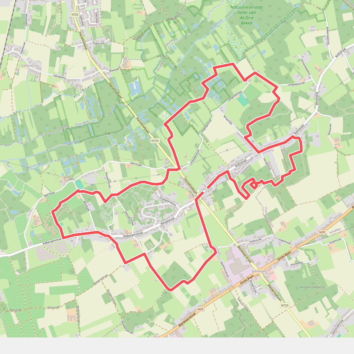
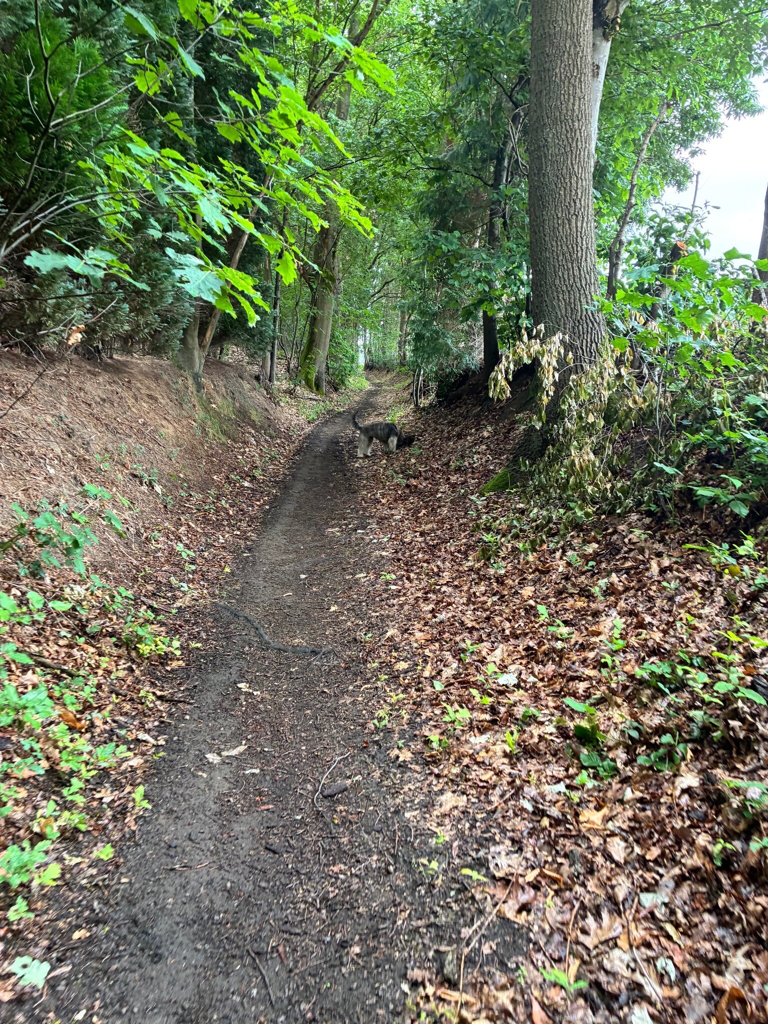
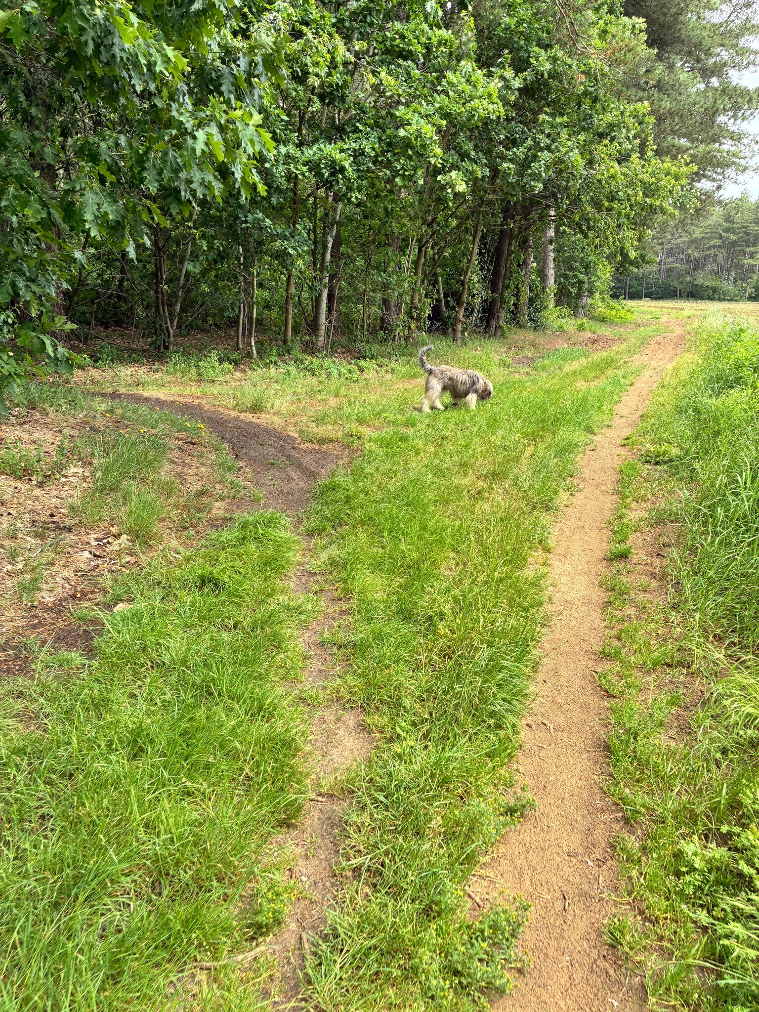
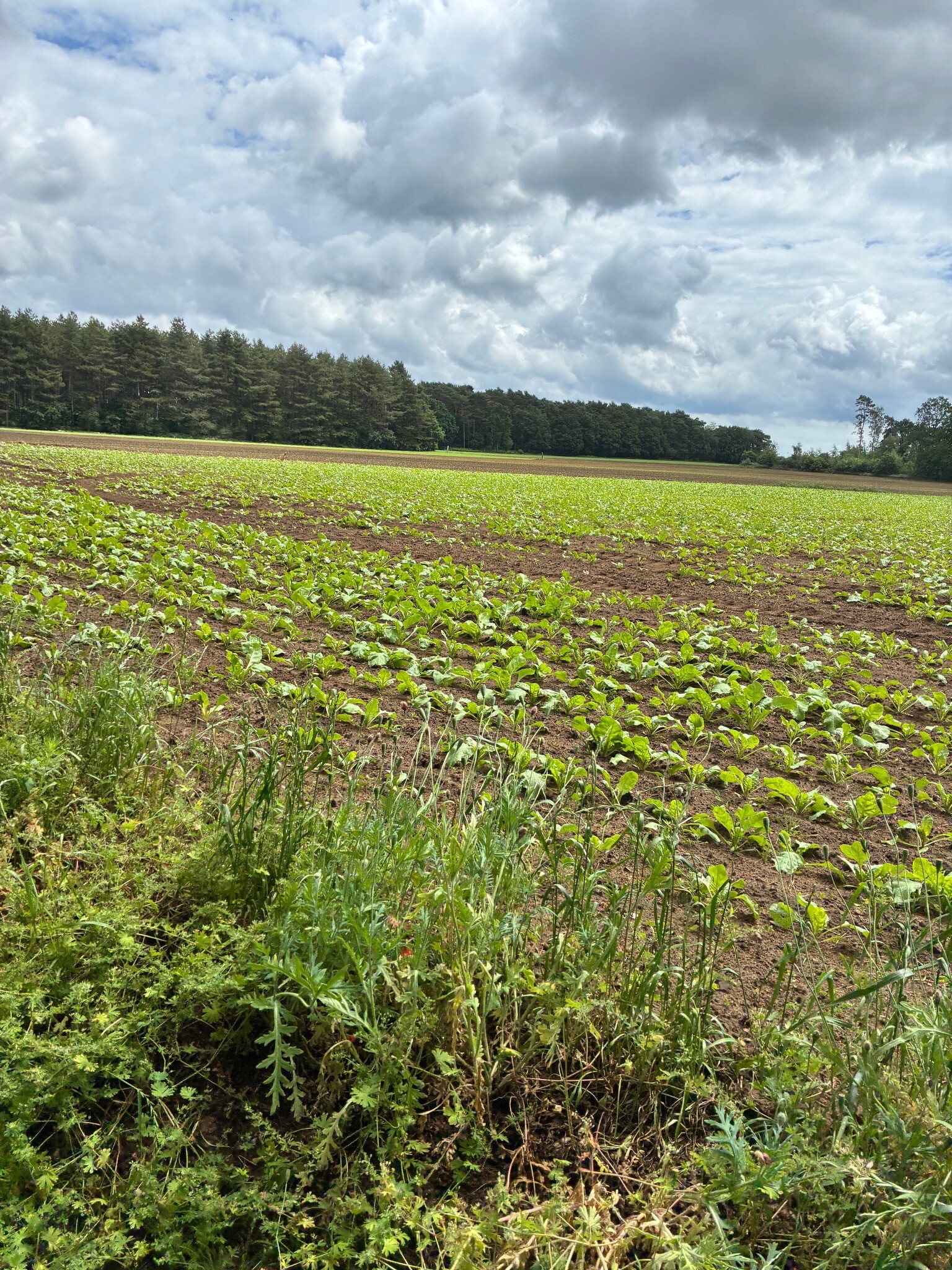
#3. wandelen in vleugt
Diest
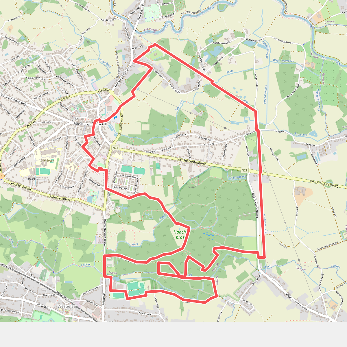
#4. Antitankgrachtwandeling
Haacht
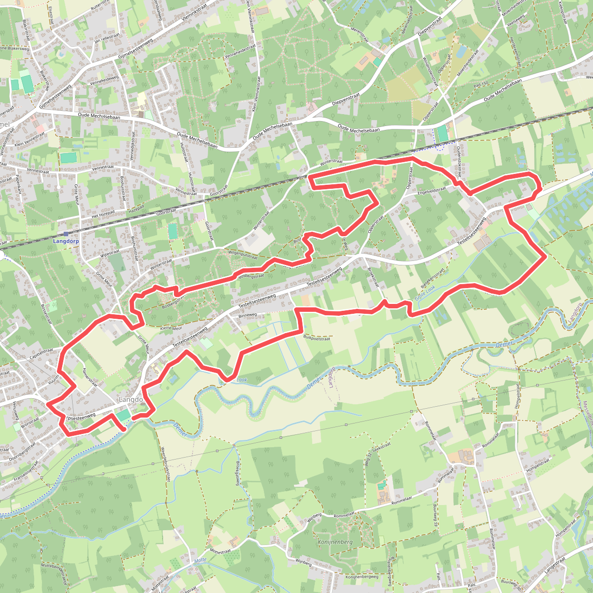
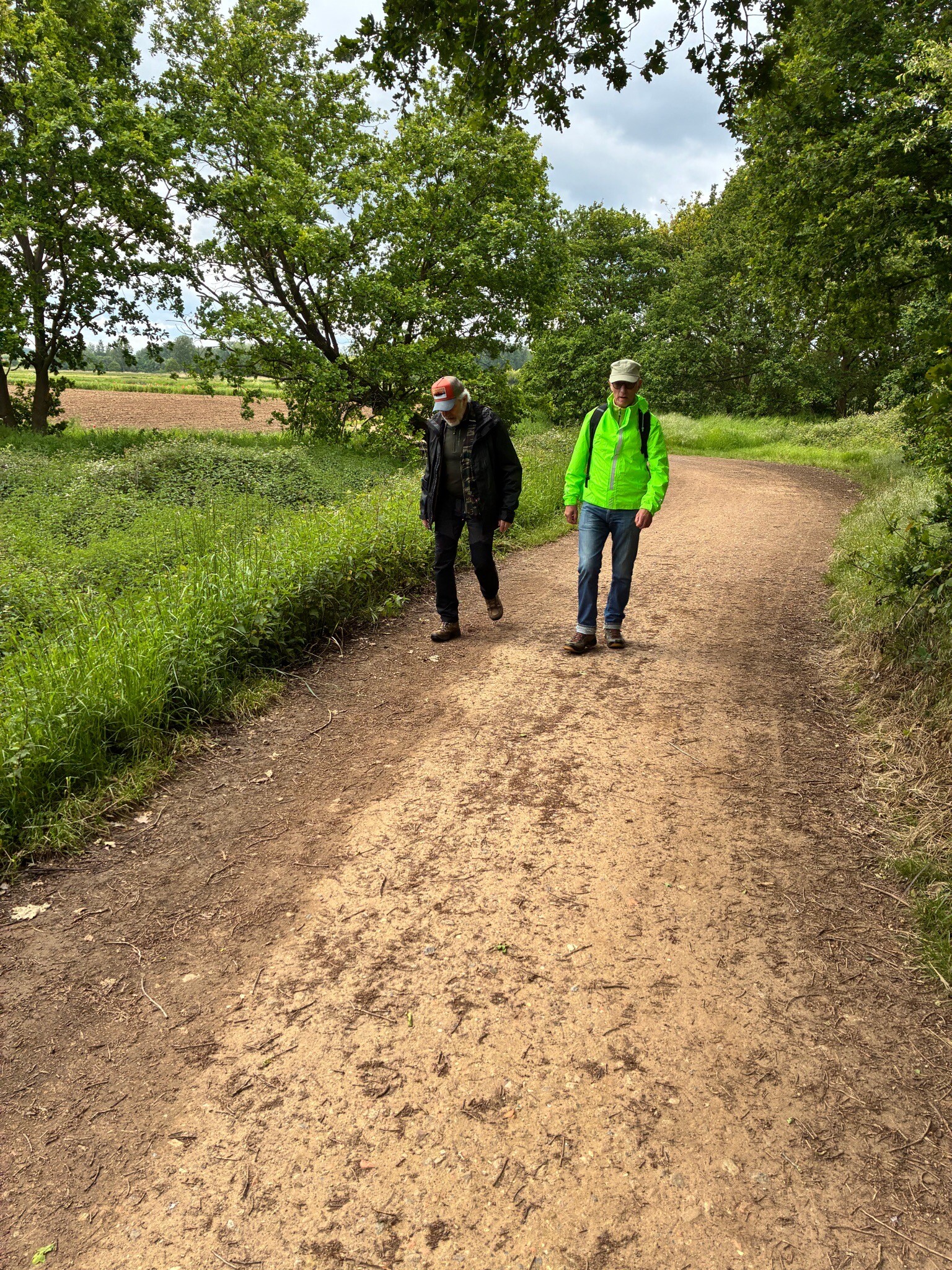
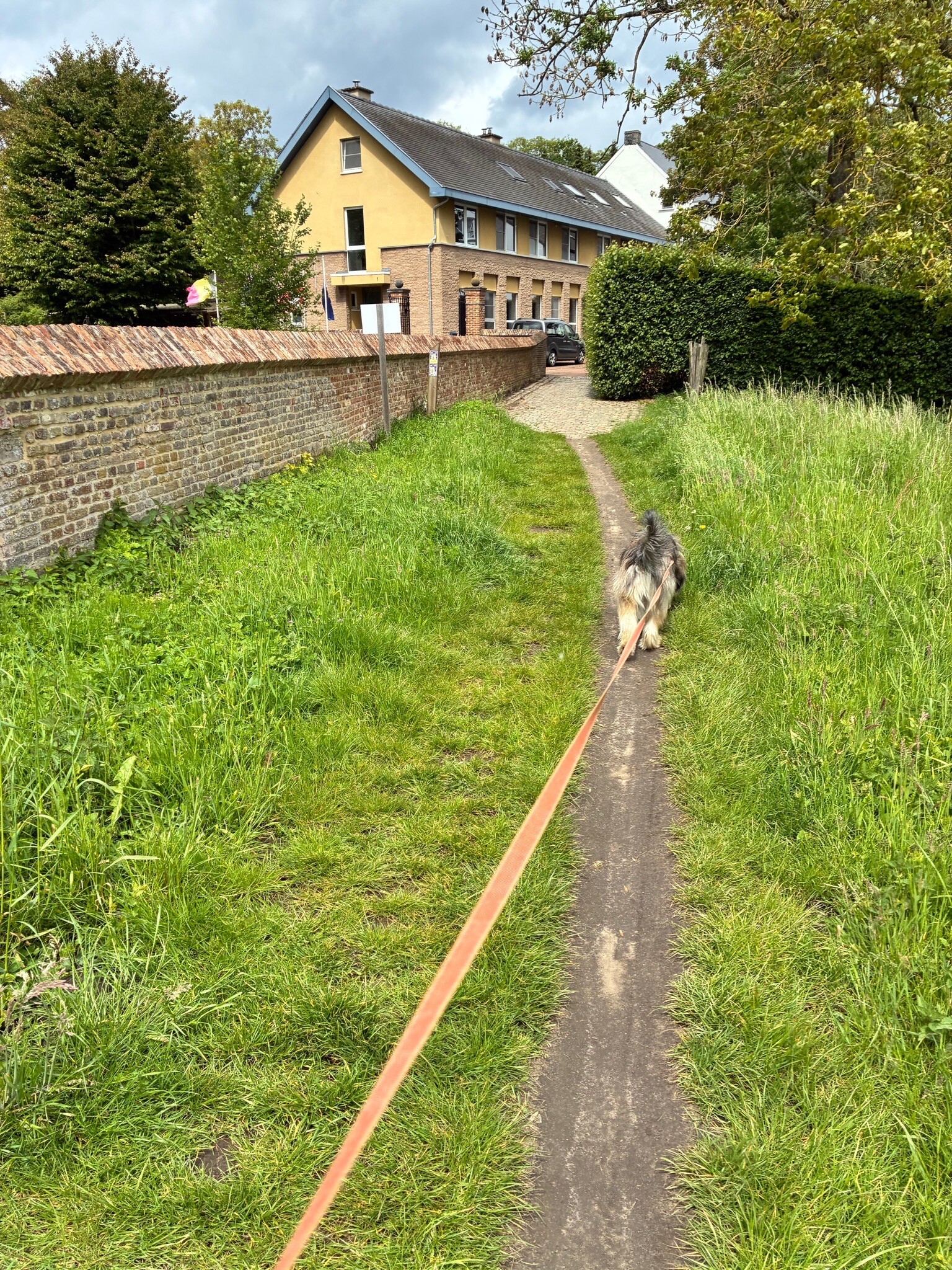
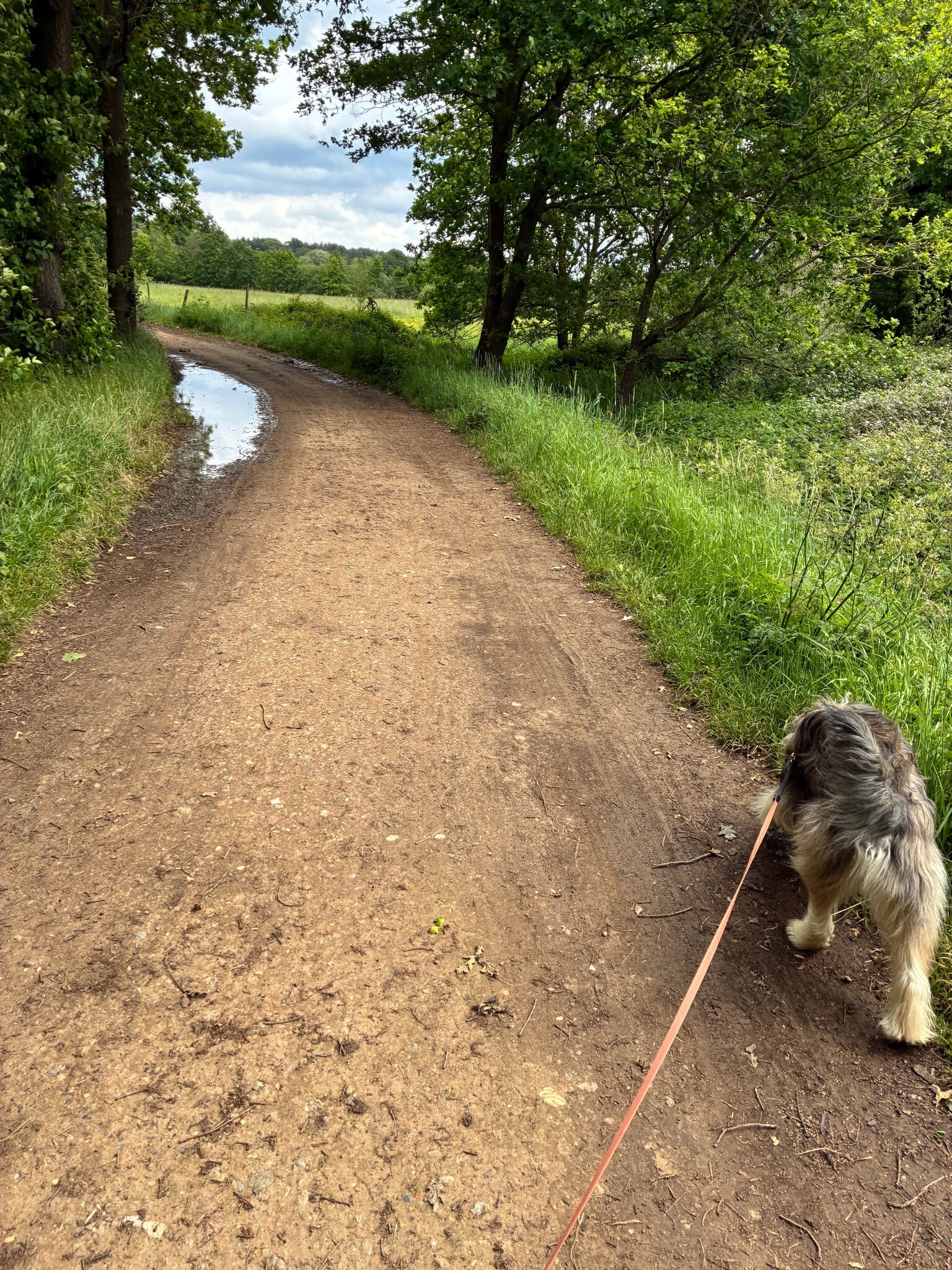
#5. Langdorp
10km
Langdorp
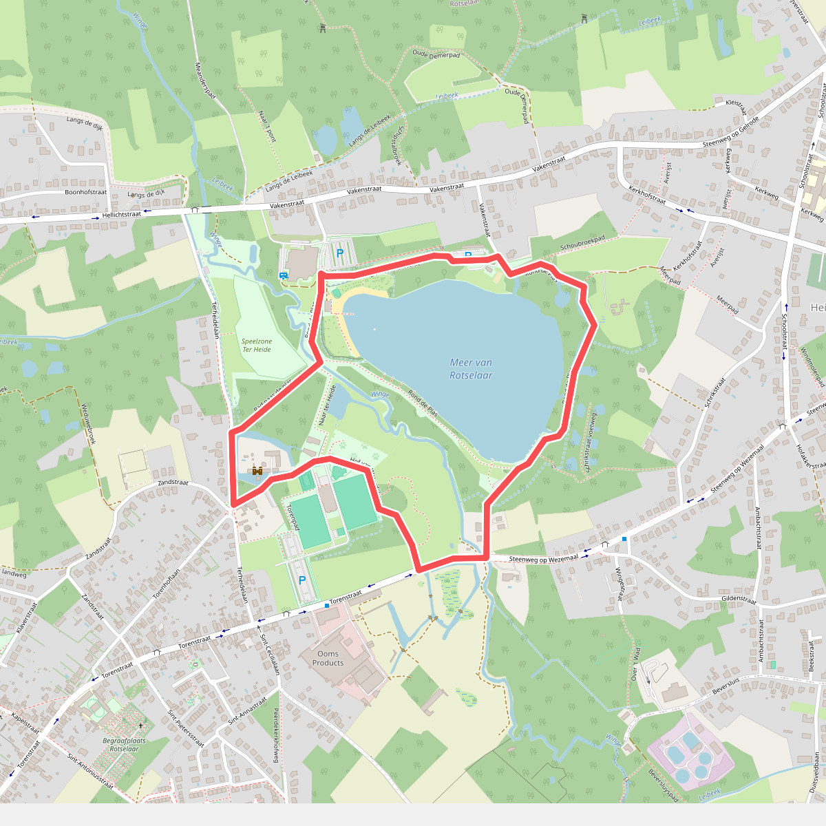
#6. Abenowandeling
Rotselaar
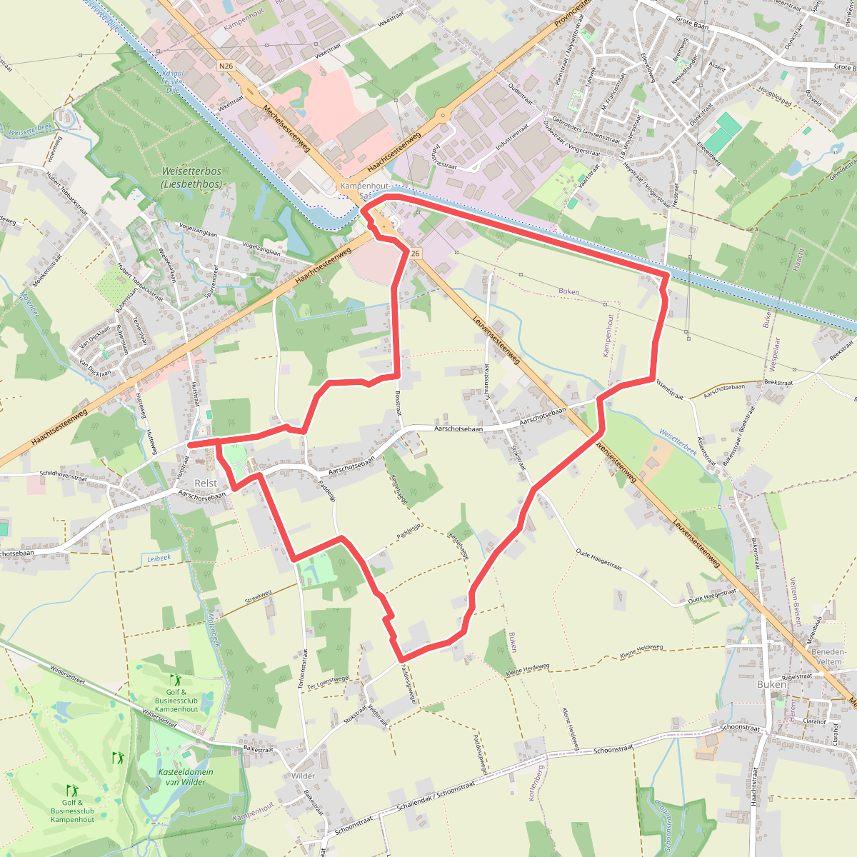
#7. Aert van Beethoven wandelpad
Kampenhout
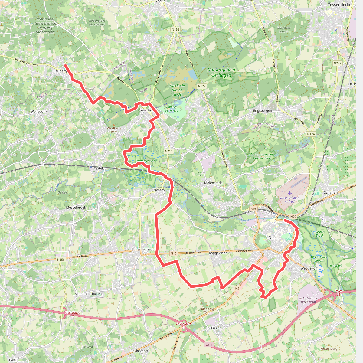
#8. Blauberg - Diest · GR5 etappe 11
Herselt,Scherpenheuvel-Zichem,Diest
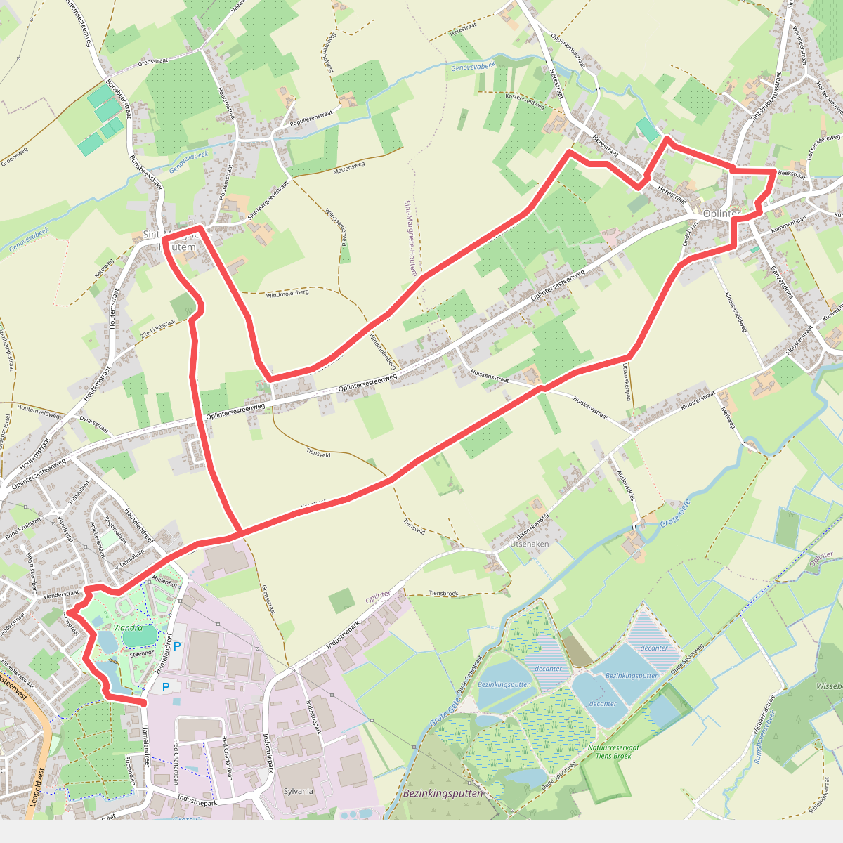
#9. Bloesemwandeling Tienen
Tienen
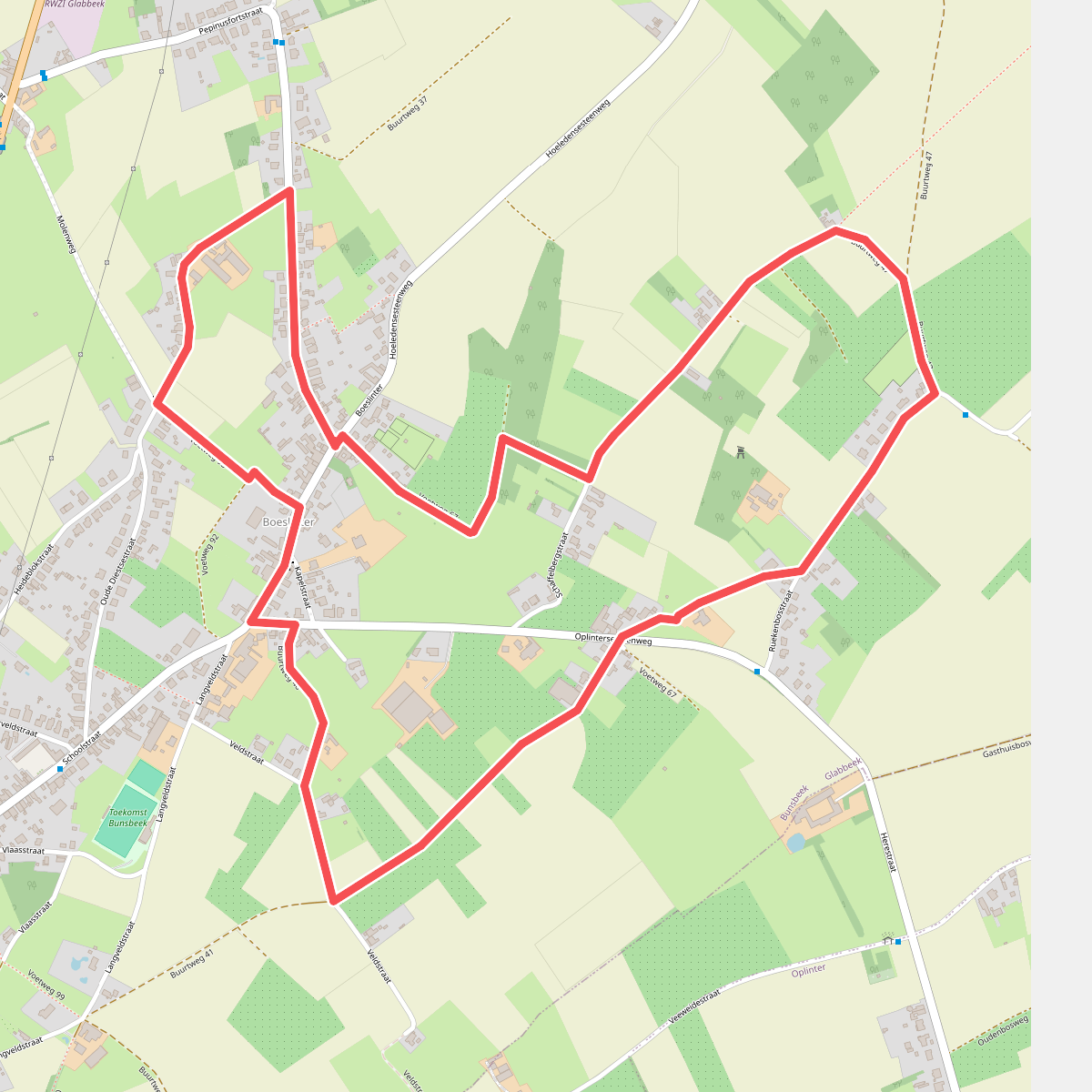
#10. Boeslinterwandeling
Bunsbeek
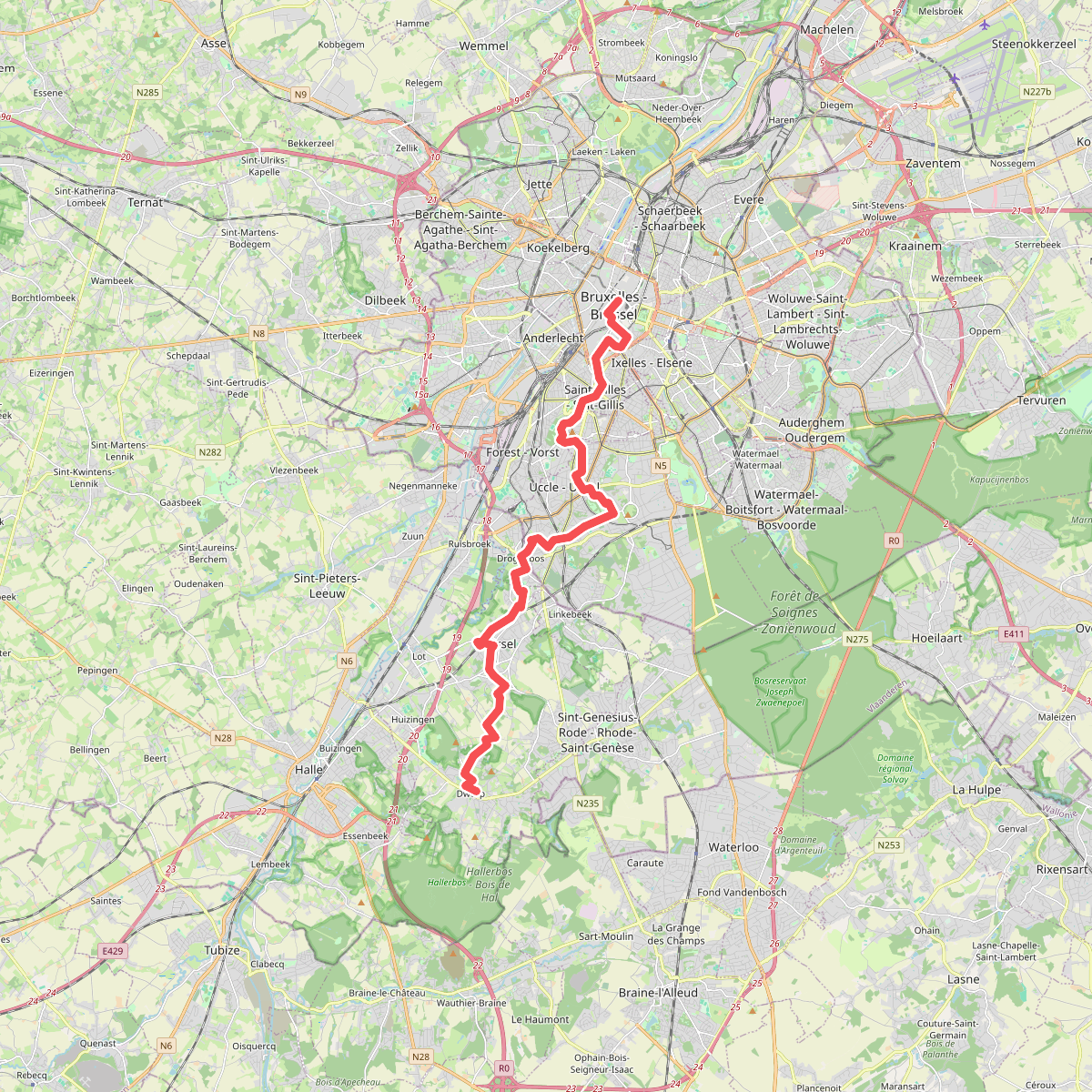
#11. Brussel - Dworp · GR12 Wallonië etappe 1
Bruxelles - Brussel,Saint-Gilles - Sint-Gillis,Forest - Vorst,Uccle - Ukkel,Drogenbos,Beersel,Alsemberg,Dworp
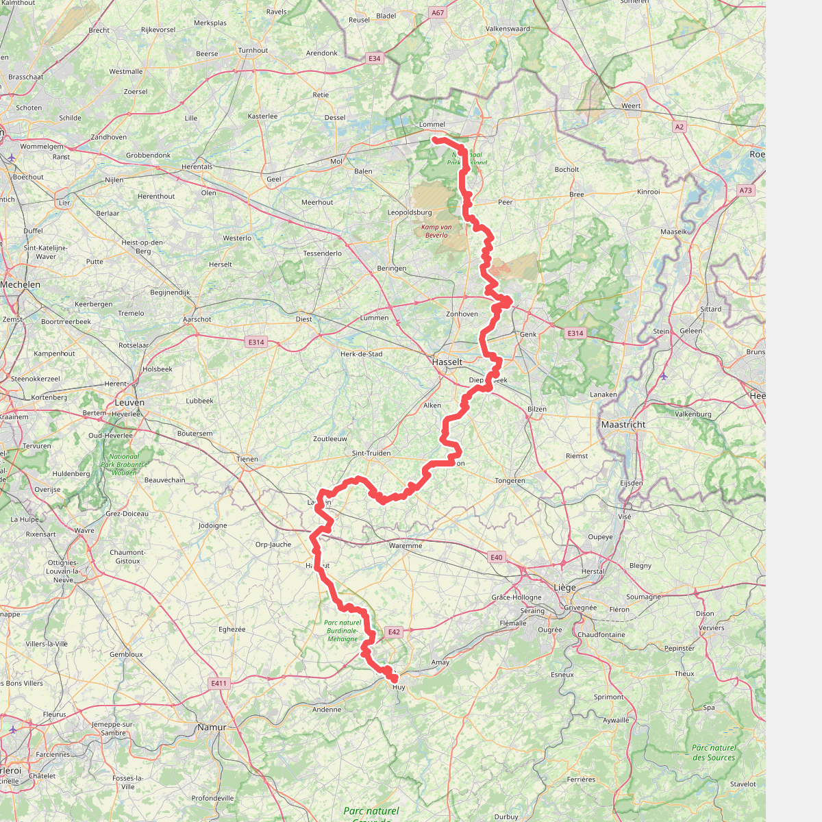
#12. de loonse route
Lommel,Pelt,Hechtel-Eksel,Peer,Houthalen-Helchteren,Zonhoven,Genk,Hasselt,Diepenbeek,Wellen,Herten,Kerniel,Borgloon,Hendrieken,Gotem,Hoepertingen,Mettekoven,Klein-Gelmen,Sint-Truiden,Boekhout,Mielen-Boven-Aalst,Muizen,Landen,Hannut,Braives,Wanze,Huy



