

The best hiking routes in Nationaal Park Brabantse Wouden
Discover the best walks in Nationaal Park Brabantse Wouden. 44 routes on the map, with descriptions, photos and GPX.
About Nationaal Park Brabantse Wouden
Nationaal Park Brabantse Wouden is a heavily wooded landscape in Belgium, shaped by deep-cut river valleys and ancient beech forests. Unlike the flat pine plantations of the northern sandy regions, this park is defined by the rolling terrain of the Dijle and Zenne valleys, where steep slopes and sudden elevation changes dictate the walking routes. The underfoot conditions vary from firm, clay-heavy earth paths on the plateaus to muddy, waterlogged tracks in the alluvial valley bottoms, where wooden boardwalks are occasionally laid to cross the wettest sections.
Read more
About Nationaal Park Brabantse Wouden
Nationaal Park Brabantse Wouden is a heavily wooded landscape in Belgium, shaped by deep-cut river valleys and ancient beech forests. Unlike the flat pine plantations of the northern sandy regions, this park is defined by the rolling terrain of the Dijle and Zenne valleys, where steep slopes and sudden elevation changes dictate the walking routes. The underfoot conditions vary from firm, clay-heavy earth paths on the plateaus to muddy, waterlogged tracks in the alluvial valley bottoms, where wooden boardwalks are occasionally laid to cross the wettest sections.
Read moreNationaal Park Brabantse Wouden is a heavily wooded landscape in Belgium, shaped by deep-cut river valleys and ancient beech forests. Unlike the flat pine plantations of the northern sandy regions, this park is defined by the rolling terrain of the Dijle and Zenne valleys, where steep slopes and sudden elevation changes dictate the walking routes. The underfoot conditions vary from firm, clay-heavy earth paths on the plateaus to muddy, waterlogged tracks in the alluvial valley bottoms, where wooden boardwalks are occasionally laid to cross the wettest sections.
The forest floor is dominated by towering, mature beech trees that create a dense canopy, keeping the forest floor relatively bare and open. In spring, particularly in April, the ground in areas like the Hallerbos becomes carpeted with wild hyacinths, a seasonal feature that draws significant crowds to specific paths. Outside of this spring peak and away from the main access points, the dense woodland offers a quieter, more enclosed walking experience characterized by deep shade and hollow roads carved into the loess soil over centuries of agricultural use.
Walkers should expect a landscape of enclosed woodland and agricultural borders rather than open heathland or sweeping views. The paths are often uneven, with exposed tree roots on the slopes and sticky mud after wet periods, requiring sturdy footwear. It is a terrain of intimate, closed-in forest views, where the interest lies in the micro-topography of the ravines, the transition from dry plateau to wet riverbed, and the historic boundary banks that still mark the old forest edges.
Hiking routes in Nationaal Park Brabantse Wouden (44)
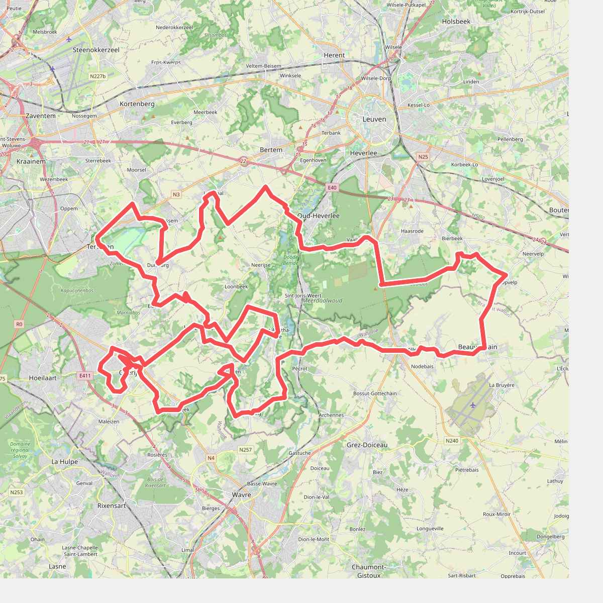
#1. 50 tinten groen in Grijsloke
Oud-Heverlee,Korbeek-Dijle,Leefdaal,Tervuren,Zaventem,Overijse,Huldenberg,Neerijse,Sint-Agatha-Rode,Ottenburg,Grez-Doiceau,Hamme-Mille,Tourinnes-la-Grosse,Beauvechain,Bierbeek
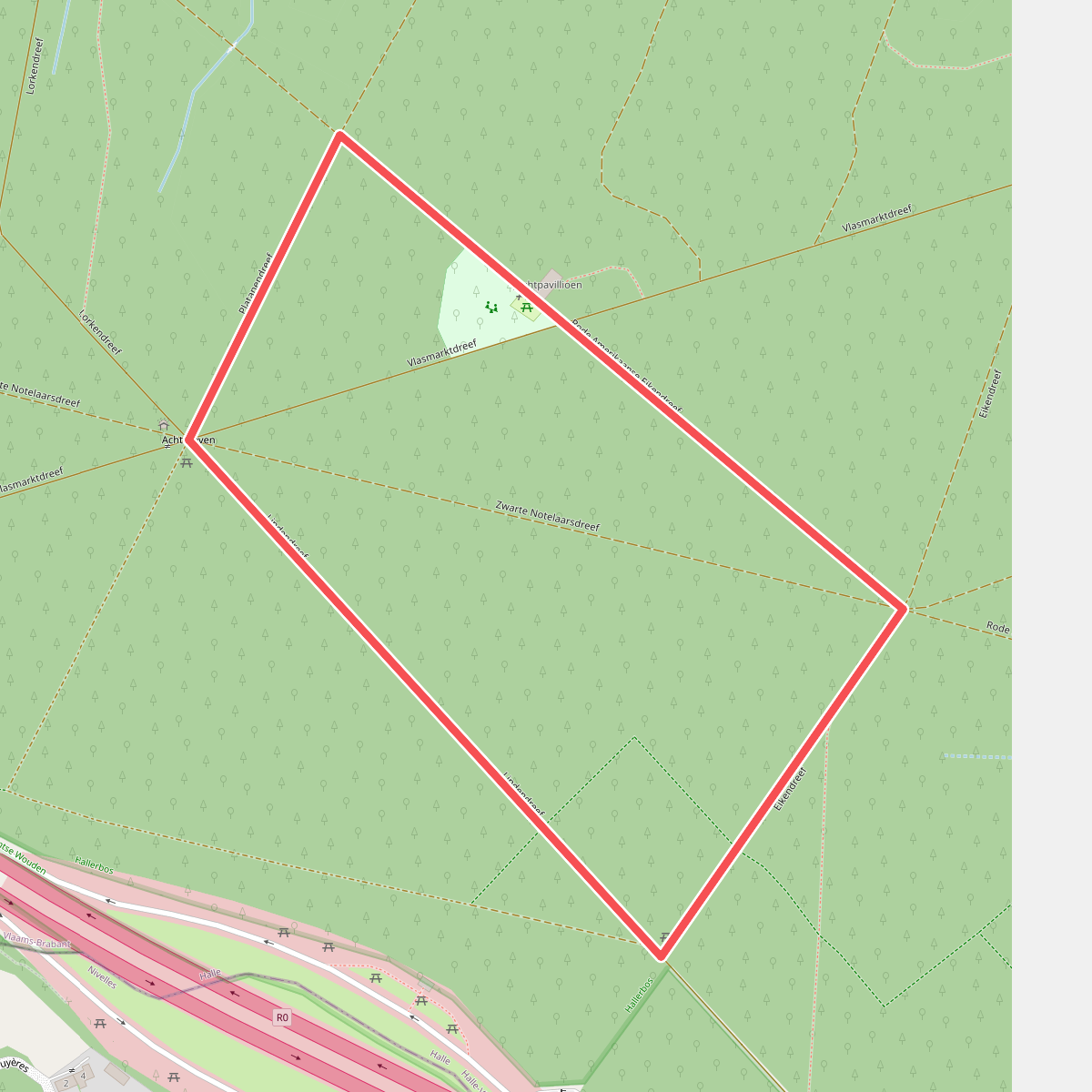
#2. Achtdrevenwandeling
Halle
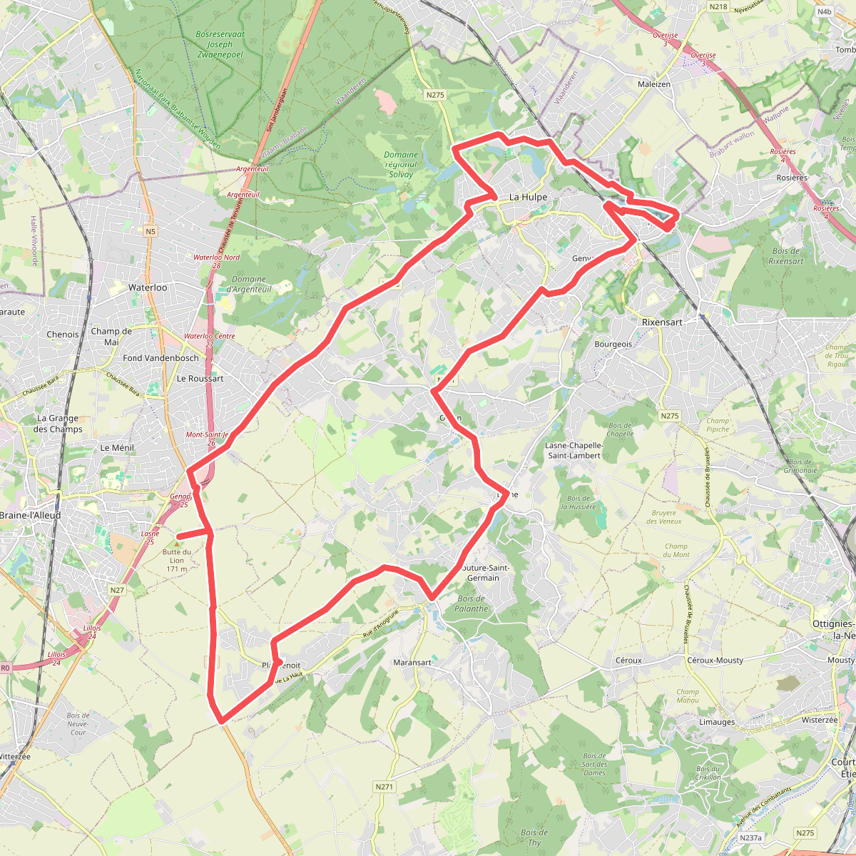
#3. Aert van Beethovenwandeling
Waterloo,Lasne,La Hulpe,Rixensart
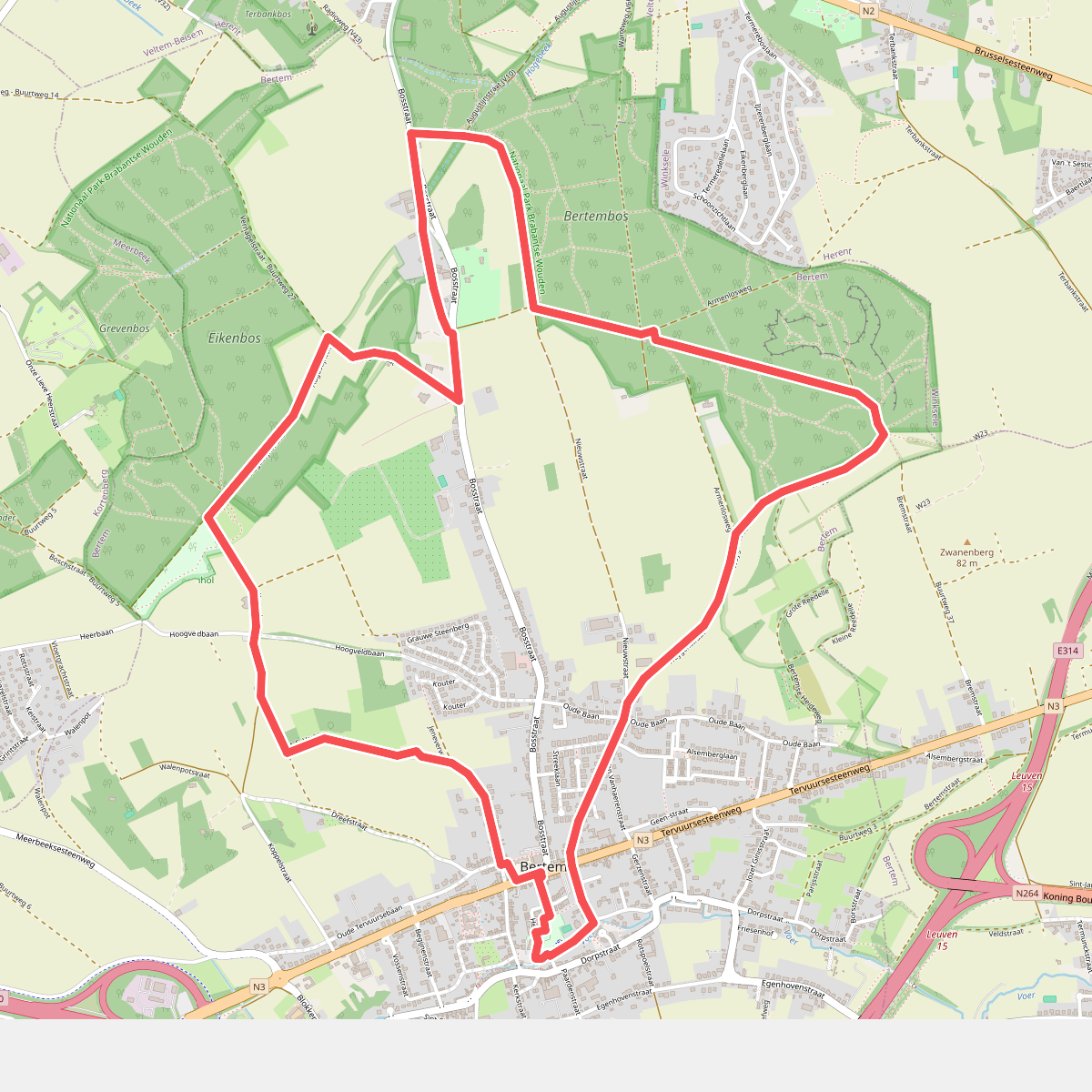
#4. Bertemboswandeling
Bertem
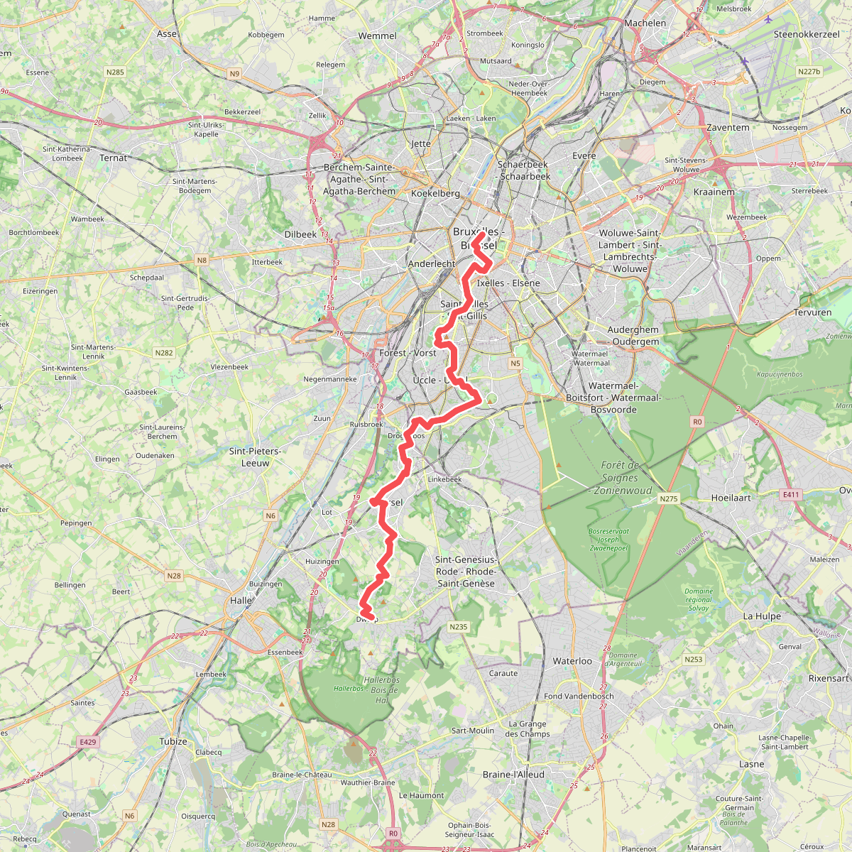
#5. Brussel - Dworp · GR12 Wallonië etappe 1
Bruxelles - Brussel,Saint-Gilles - Sint-Gillis,Forest - Vorst,Uccle - Ukkel,Drogenbos,Beersel,Alsemberg,Dworp
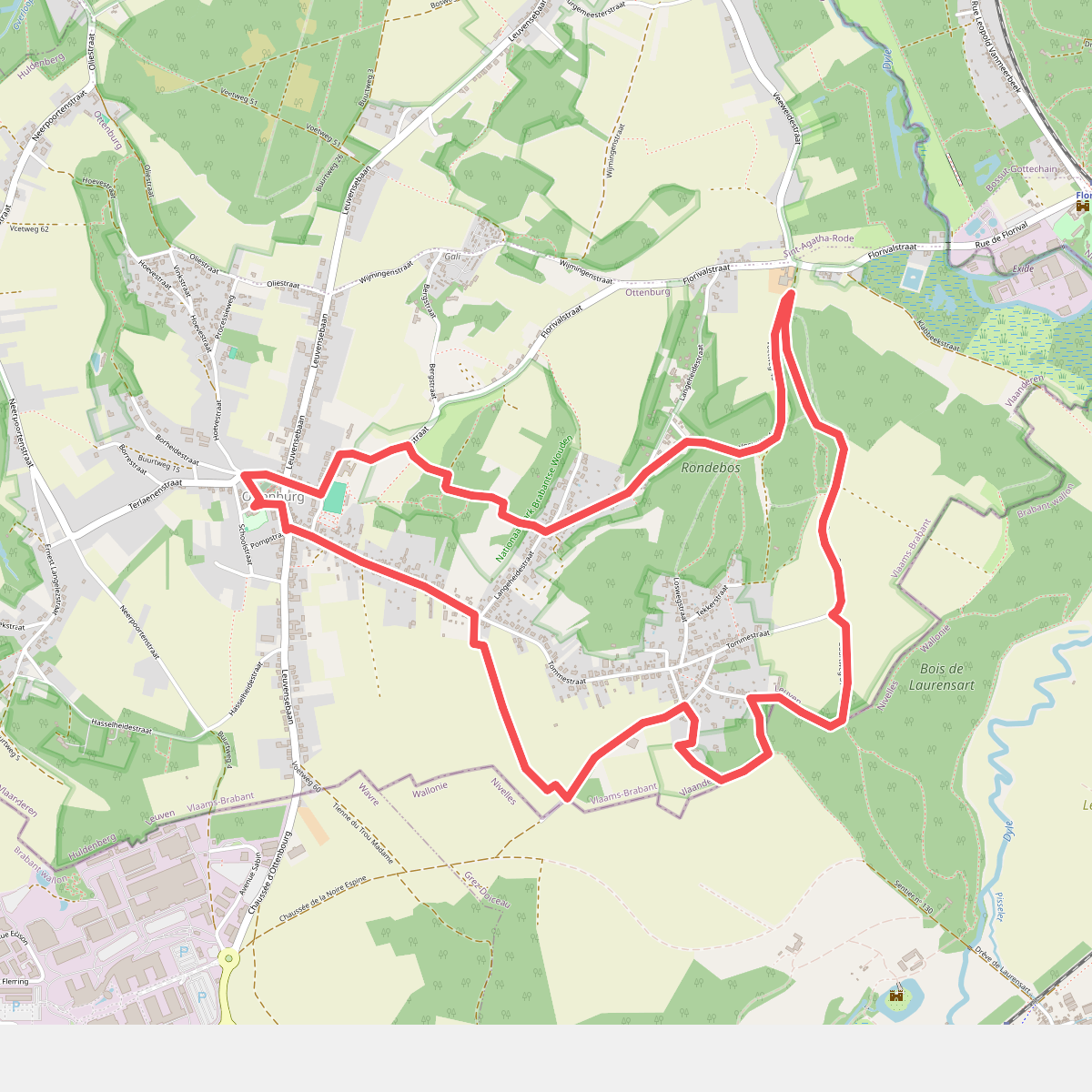
#6. De Tommewandeling
Ottenburg
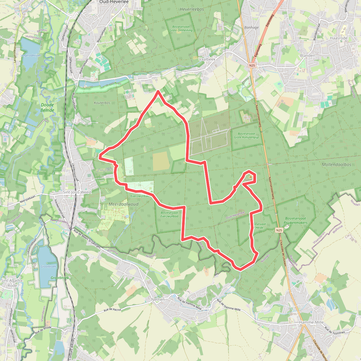
#7. Dikke Beukwandeling
Oud-Heverlee,Bierbeek,Grez-Doiceau
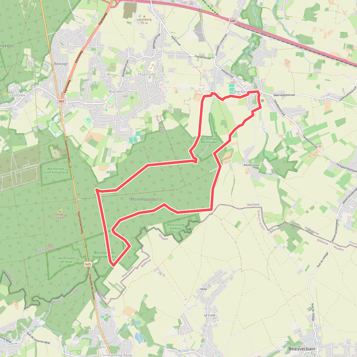
#8. Dikke Eikwandeling
Bierbeek,Oud-Heverlee
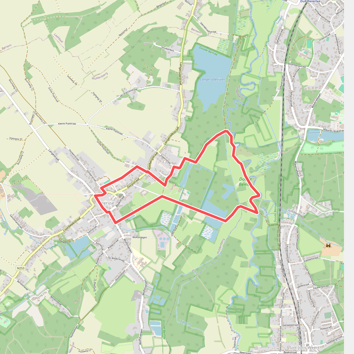
#9. Doode Bemdewandeling
Neerijse
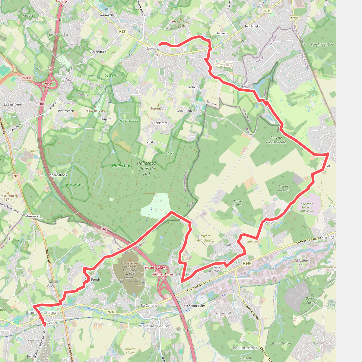
#10. Dworp - Kasteelbrakel · GR12 Wallonië etappe 2
Dworp,Sint-Genesius-Rode - Rhode-Saint-Genèse,Braine-l'Alleud,Wauthier-Braine,Halle,Braine-le-Château
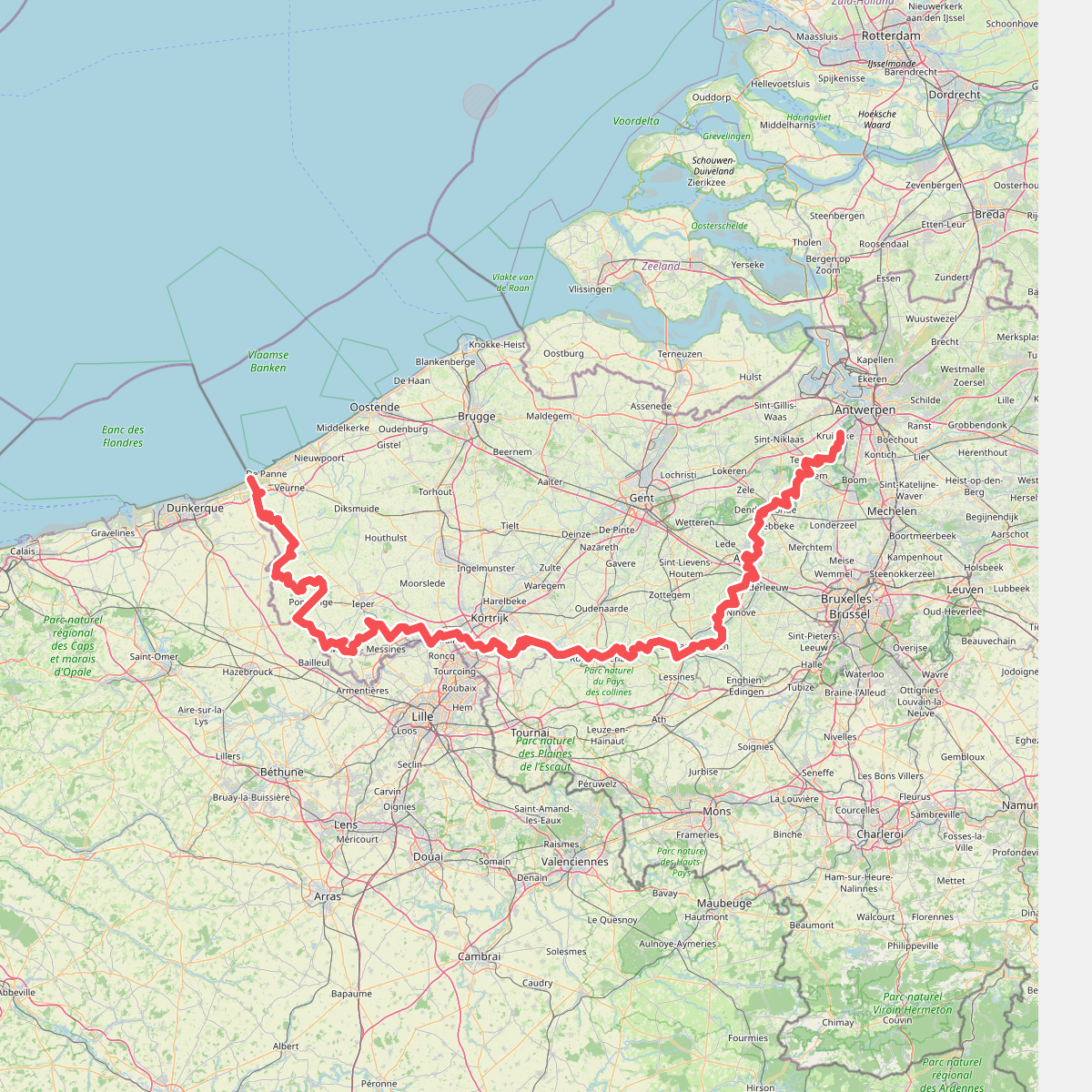
#11. E2 West Sectie GR 5A
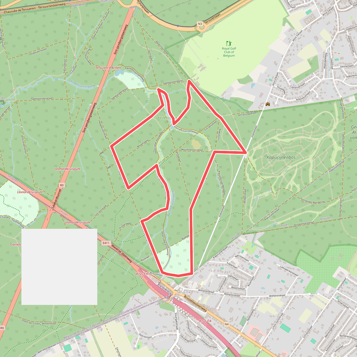
#12. Flossendellewandeling
Tervuren



