

The best hiking routes in Region of Košice
Discover the best walks in Region of Košice. 15 routes on the map, with descriptions, photos and GPX.
About Region of Košice
The Region of Košice presents a sharp division between dramatic limestone gorges and flat, waterlogged lowlands. In the northwest, Národný park Slovenský raj is defined by its verticality, where walkers navigate narrow ravines using built-in iron ladders, chains, and wooden footbridges suspended over rushing streams. This contrasts with the southern borderlands, where Národný park Slovenský kras and the adjacent Aggteleki Nemzeti Park feature dry, gently rolling limestone plateaus marked by sinkholes, light oak woods, and stony paths underfoot.
Read more
About Region of Košice
The Region of Košice presents a sharp division between dramatic limestone gorges and flat, waterlogged lowlands. In the northwest, Národný park Slovenský raj is defined by its verticality, where walkers navigate narrow ravines using built-in iron ladders, chains, and wooden footbridges suspended over rushing streams. This contrasts with the southern borderlands, where Národný park Slovenský kras and the adjacent Aggteleki Nemzeti Park feature dry, gently rolling limestone plateaus marked by sinkholes, light oak woods, and stony paths underfoot.
Read moreThe Region of Košice presents a sharp division between dramatic limestone gorges and flat, waterlogged lowlands. In the northwest, Národný park Slovenský raj is defined by its verticality, where walkers navigate narrow ravines using built-in iron ladders, chains, and wooden footbridges suspended over rushing streams. This contrasts with the southern borderlands, where Národný park Slovenský kras and the adjacent Aggteleki Nemzeti Park feature dry, gently rolling limestone plateaus marked by sinkholes, light oak woods, and stony paths underfoot.
Further east, the terrain flattens into the floodplains of Chránená krajinná oblasť Latorica. Here, the walking is entirely flat, following dirt dykes and grassy tracks through alluvial forests and oxbow lakes, where the sound of water birds replaces the echo of rocky gorges. If you prefer dense, volcanic forest cover, Chránená krajinná oblasť Vihorlat offers steep, shaded ascents over dark basalt stones and beech leaf litter, leading to quiet volcanic lakes.
This region does not offer high alpine peaks or barren ridgelines. Instead, you will walk through dense beech forests, open karst meadows, or damp river corridors. In October, the beech forests of Chránená krajinná oblasť Vihorlat turn a deep copper color, making it a distinct autumn walk, while the exposed plateaus of Národný park Slovenský kras remain open and dry underfoot long after the ravine paths of Národný park Slovenský raj have become cold and damp.
Nature areas in Region of Košice
Zoom or pan for more routes
Hiking routes in Region of Košice (15)
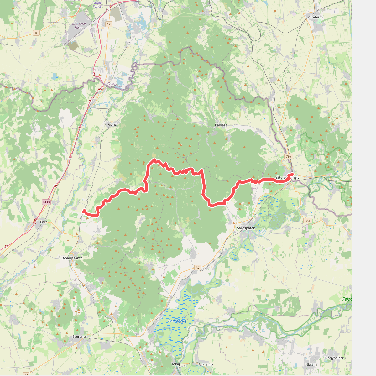
#1. Barátság nemzetközi turistaút Eisenach – Budapest (Boldogkőváralja – Országhatár)
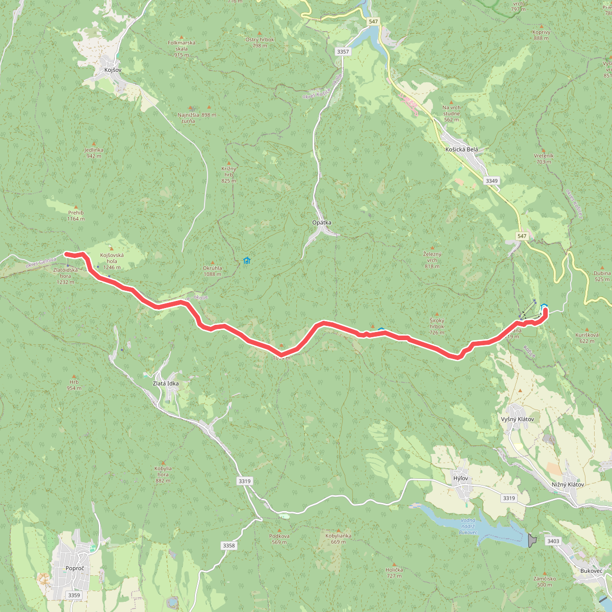
#2. Chata Erika - Chata Johodna
Gelnica,okres Gelnica,Zlatá Idka,Opátka,Vyšný Klátov,Košice
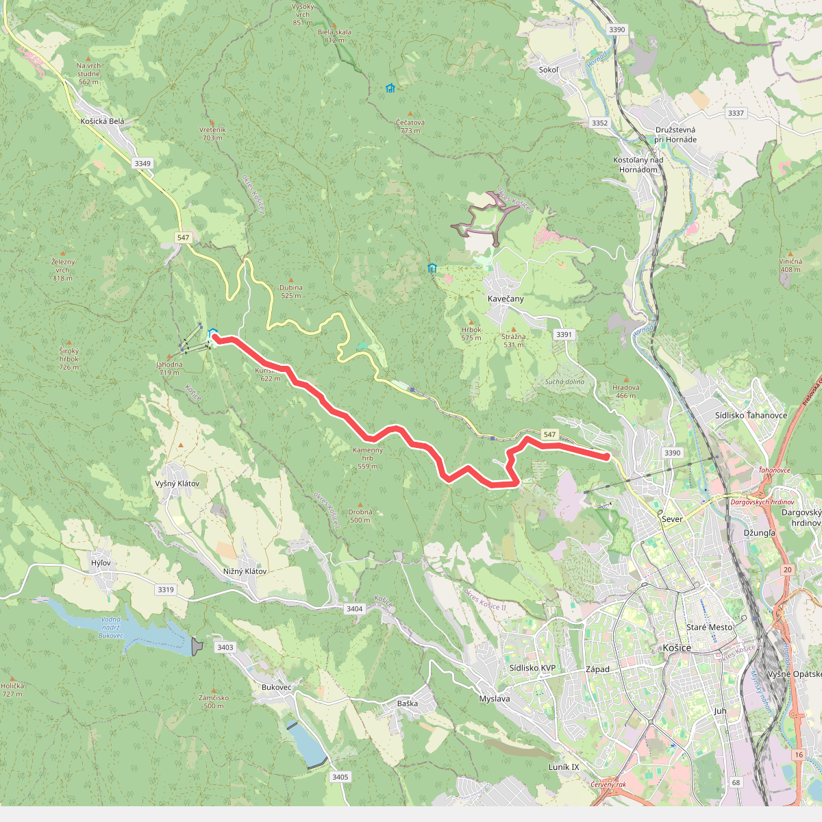
#3. Chata Jahodna - Kosice
Košice
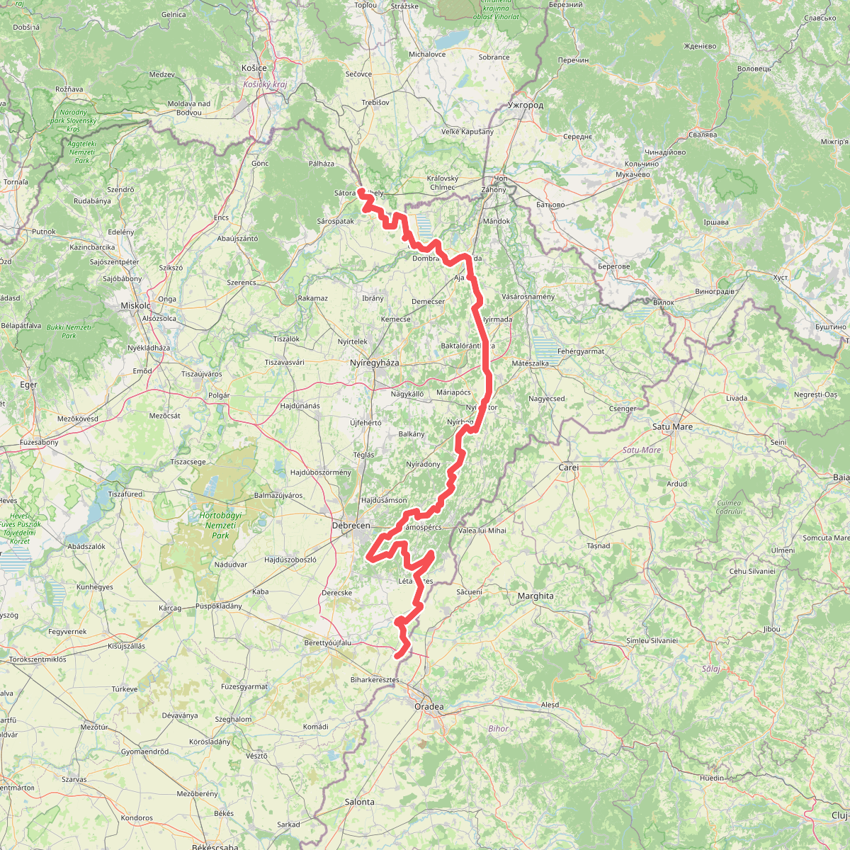
#4. E3 európai hosszútávú turistaút (Mo.-i szakasz)
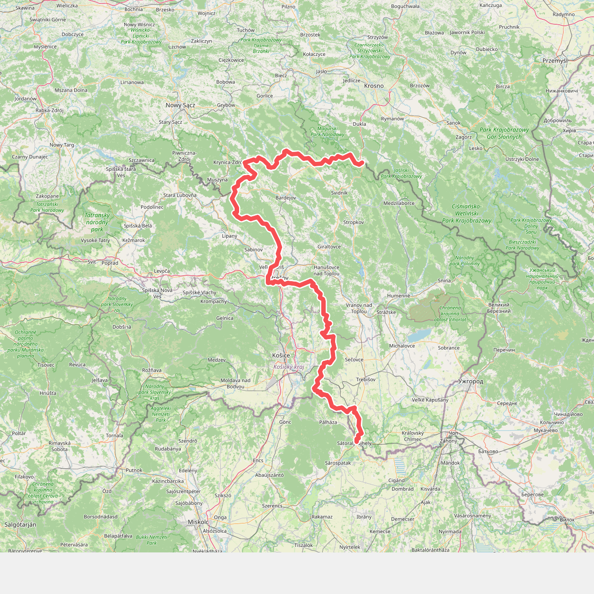
#5. European long distance path E3 - part Slovakia (east)
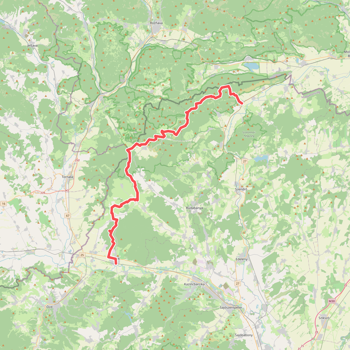
#6. K, OKT 24. (Putnok – Aggtelek – Bódvaszilas)
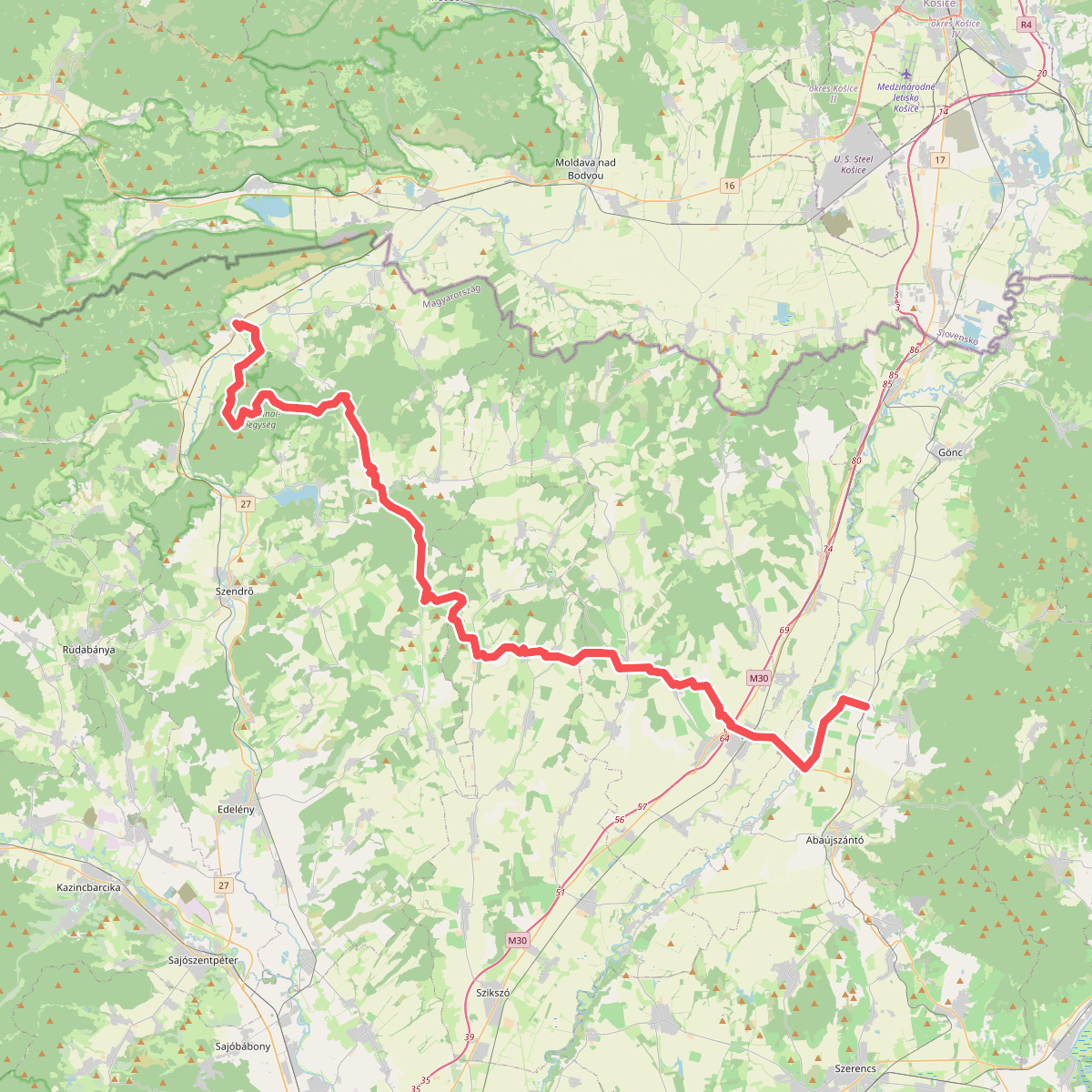
#7. K, OKT 25. (Bódvaszilas – Boldogkőváralja)
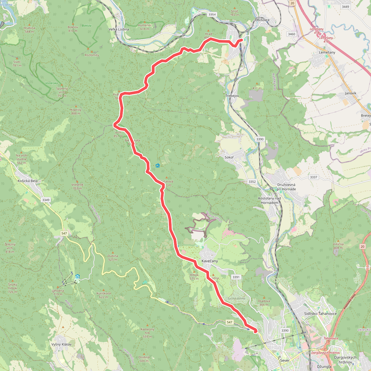
#8. Kosice - Kysak
Košice,Sokoľ,Veľká Lodina,Kysak
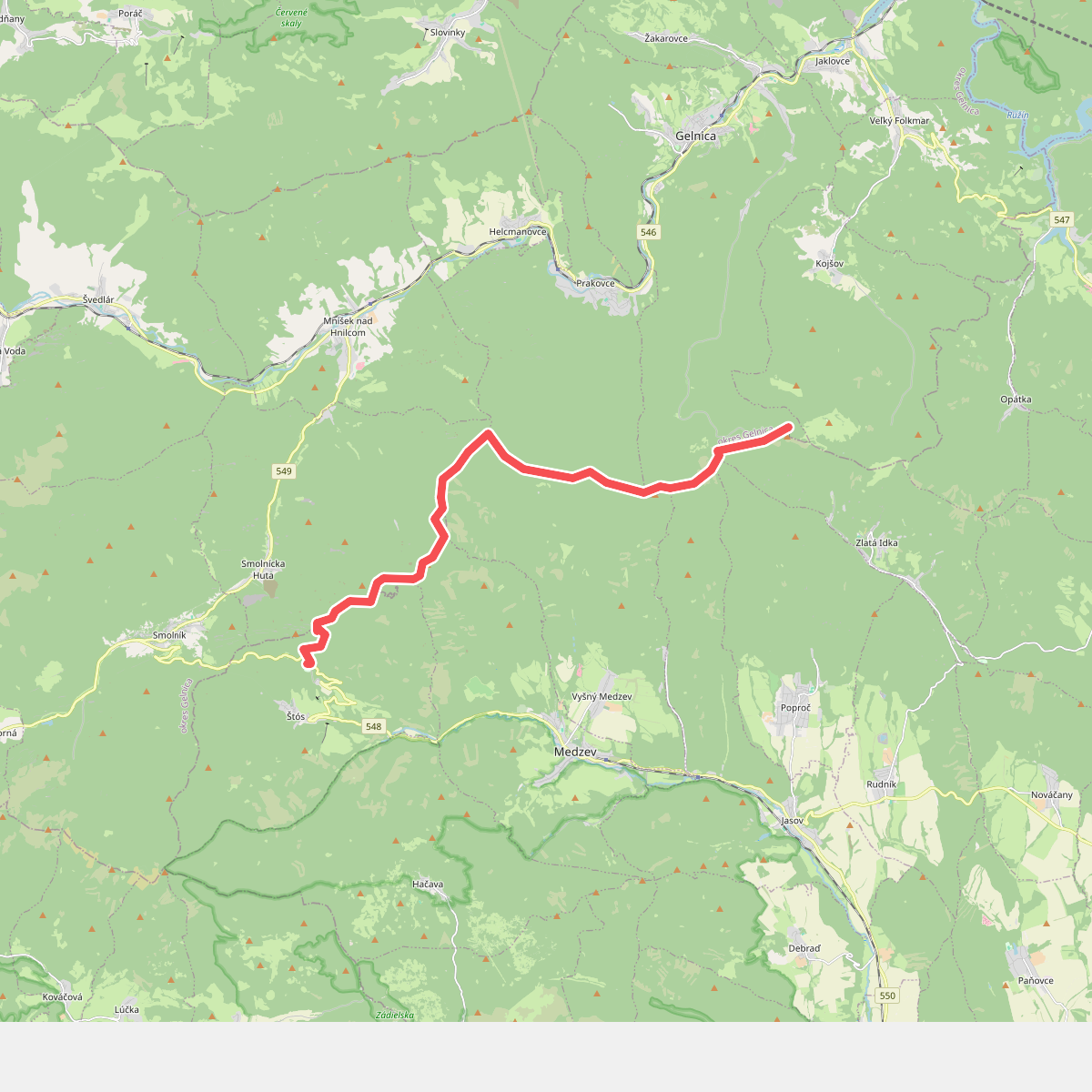
#9. Kupele Stos - Chata Erika
Štós,okres Gelnica,Vyšný Medzev,Gelnica,Jasov,Zlatá Idka
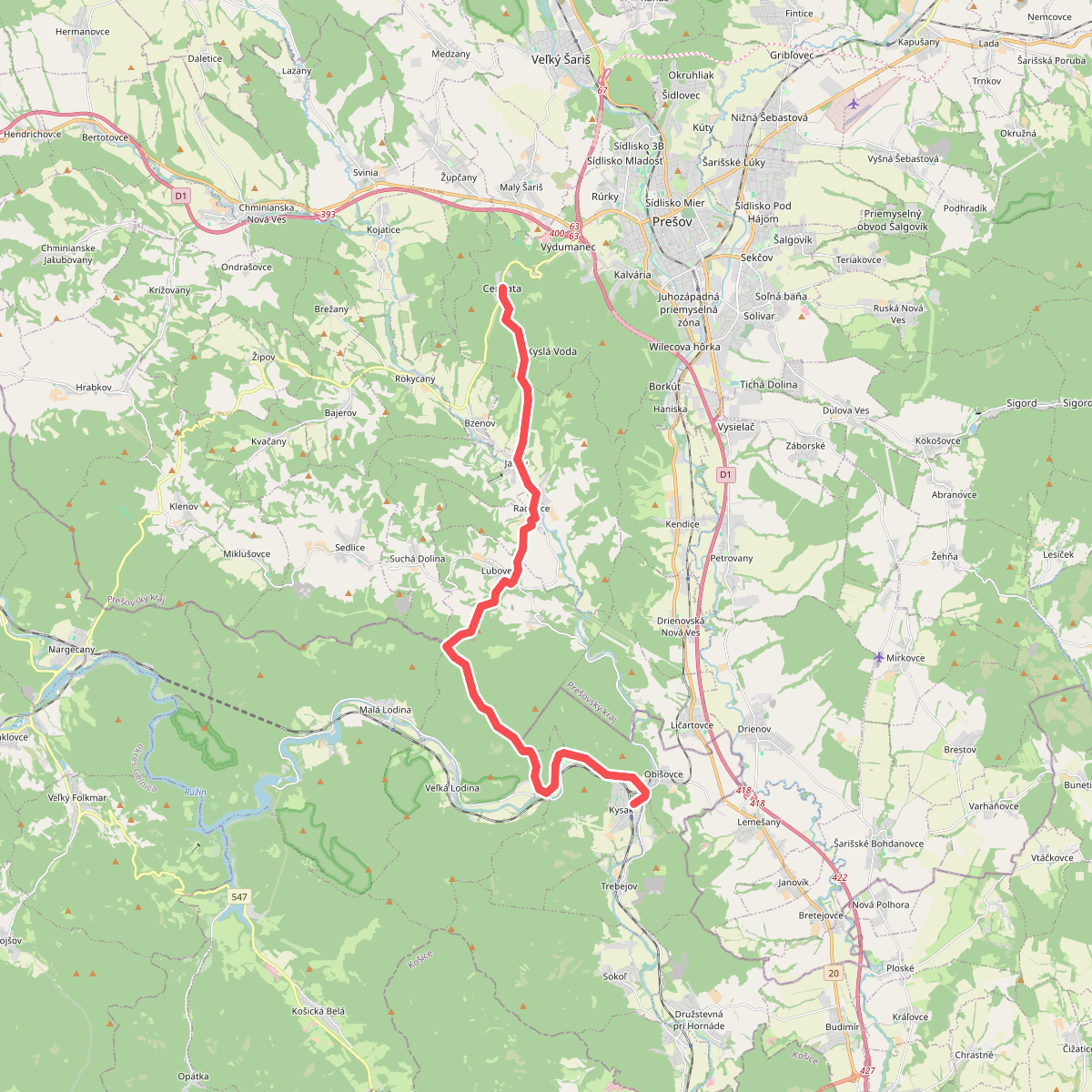
#10. Kysak - Cemjata
Kysak,Obišovce,Veľká Lodina,Malá Lodina,okres Prešov,Prešov
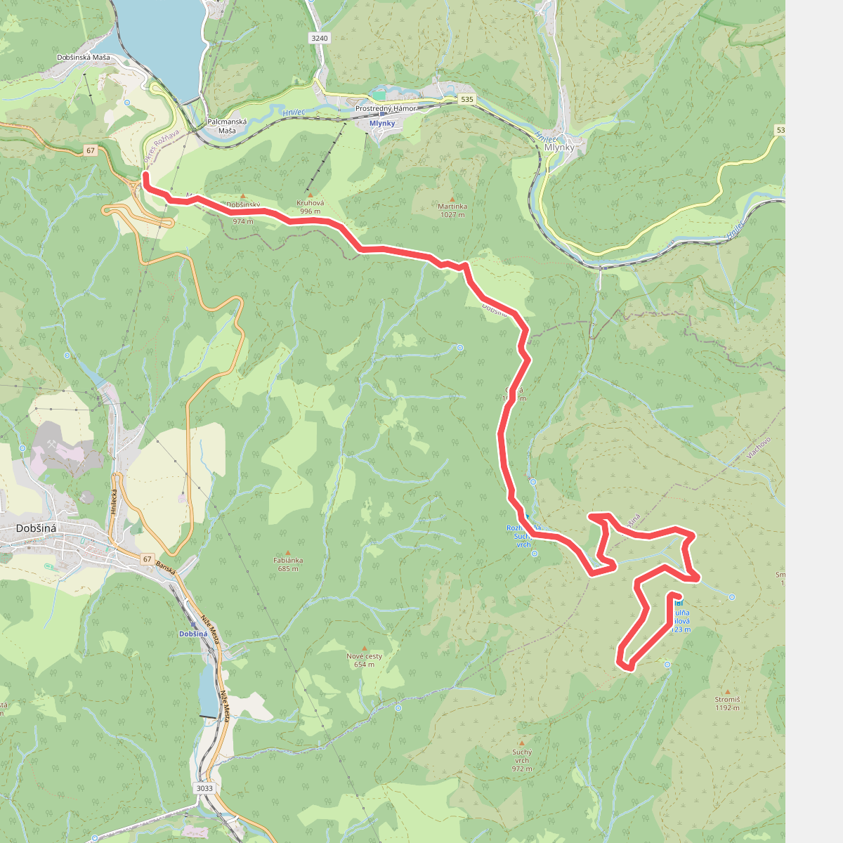
#11. Mlynky - Utula Galova
okres Rožňava,okres Spišská Nová Ves,Dobšiná
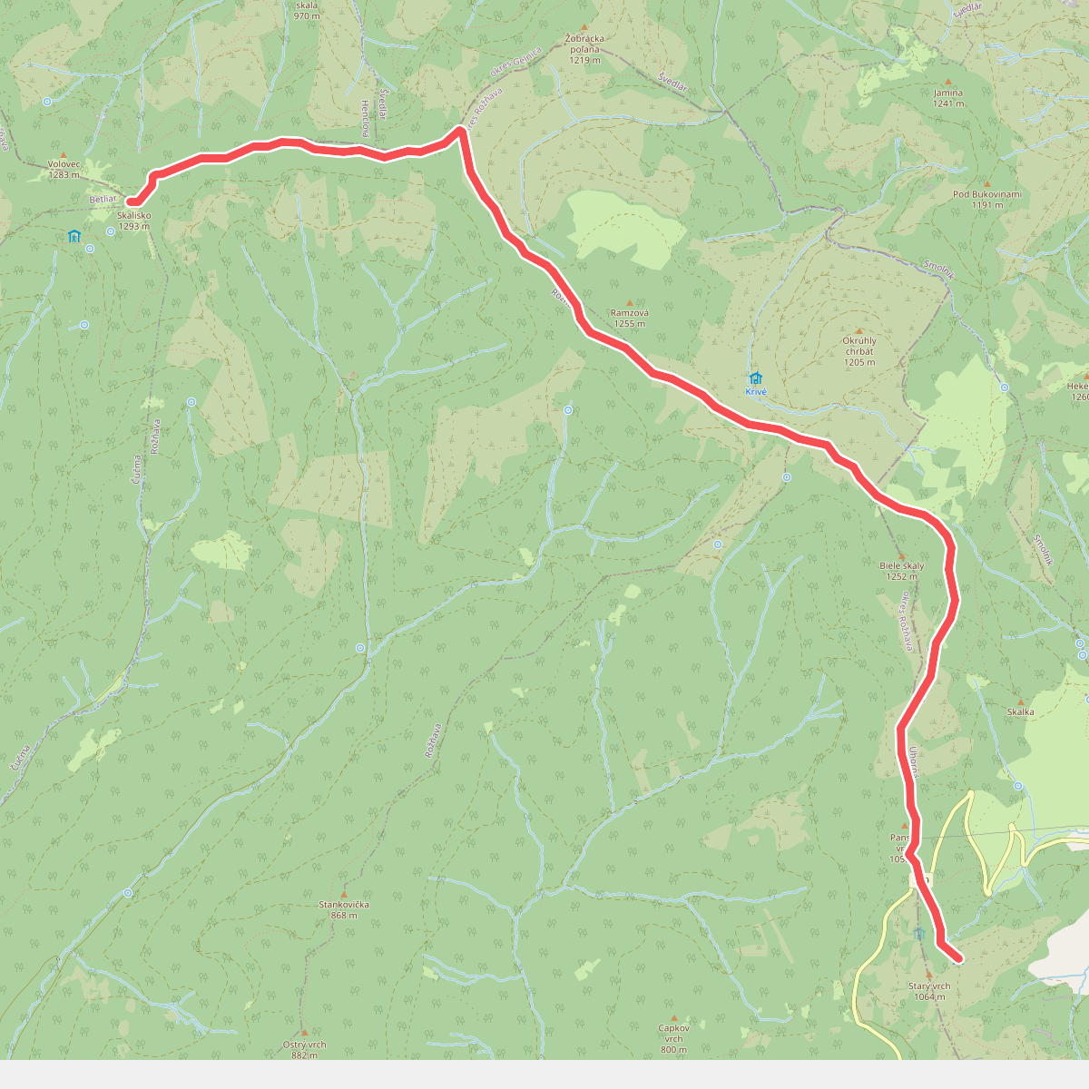
#12. Skalisko - Utulna SNP Unhorna
okres Rožňava,okres Gelnica,Rožňava



