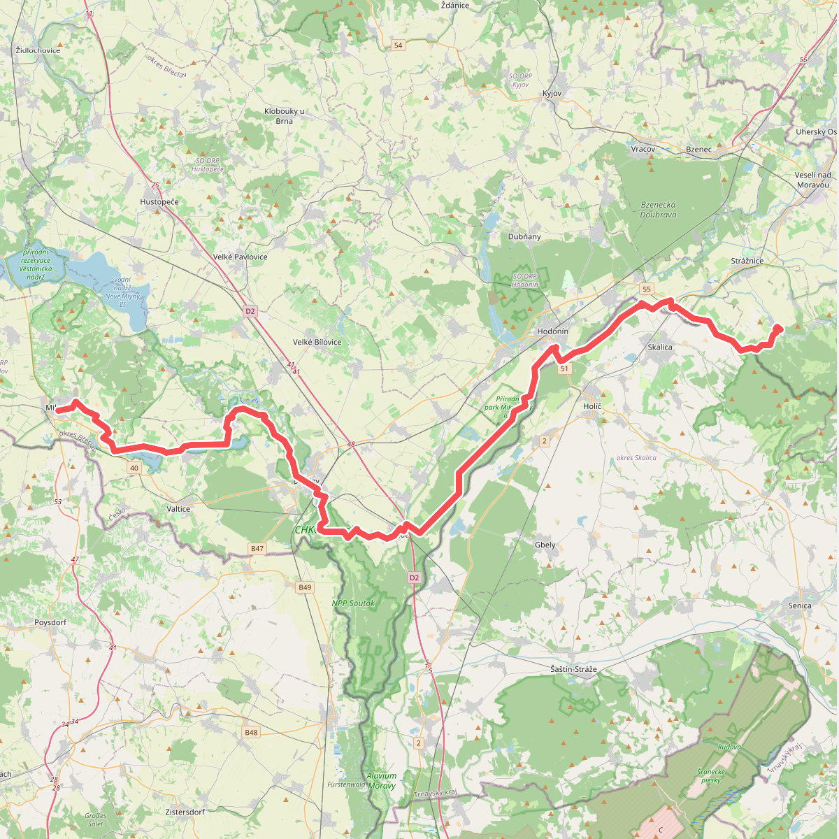
The best hiking routes in South Moravian Region
Discover the best walks in South Moravian Region. 13 routes on the map, with descriptions, photos and GPX.
About South Moravian Region
The South Moravian Region offers a distinct contrast between deep limestone gorges and wide, agricultural lowlands. If you prefer shaded, rocky paths and cool air, the forested ravines of CHKO Moravský kras in the north provide a network of trails over damp limestone, where you will constantly walk past sinkholes and cave entrances. In contrast, the southern borderlands offer flat, sandy tracks through floodplain forests. Here, the CHKO Soutok nature reserve features ancient oaks and meadows that are shaped by seasonal river floods, providing a very different underfoot experience of soft alluvial soil and flat dirt tracks.
Read more
About South Moravian Region
The South Moravian Region offers a distinct contrast between deep limestone gorges and wide, agricultural lowlands. If you prefer shaded, rocky paths and cool air, the forested ravines of CHKO Moravský kras in the north provide a network of trails over damp limestone, where you will constantly walk past sinkholes and cave entrances. In contrast, the southern borderlands offer flat, sandy tracks through floodplain forests. Here, the CHKO Soutok nature reserve features ancient oaks and meadows that are shaped by seasonal river floods, providing a very different underfoot experience of soft alluvial soil and flat dirt tracks.
Read moreThe South Moravian Region offers a distinct contrast between deep limestone gorges and wide, agricultural lowlands. If you prefer shaded, rocky paths and cool air, the forested ravines of CHKO Moravský kras in the north provide a network of trails over damp limestone, where you will constantly walk past sinkholes and cave entrances. In contrast, the southern borderlands offer flat, sandy tracks through floodplain forests. Here, the CHKO Soutok nature reserve features ancient oaks and meadows that are shaped by seasonal river floods, providing a very different underfoot experience of soft alluvial soil and flat dirt tracks.
For those seeking steeper climbs and river views, Národní park Podyjí and the adjacent Nationalpark Thayatal protect a winding, rocky river canyon on the Austrian border. Walking here means navigating steep, scree-covered slopes and pine-clad cliffs high above the Dyje river, where the path alternates between exposed rock and dense deciduous forest. This is a dramatic, enclosed river valley, completely different from the open, gently rolling meadows found further east.
If you prefer wide-open grasslands and long, steady climbs, the eastern border is dominated by CHKO Bílé Karpaty. This area is characterized by vast, species-rich orchid meadows and scattered beech trees, where the paths are mostly grassy tracks and clay forestry roads. In June, these meadows are at their most distinct, filled with flowering plants that show how traditional, non-intensive farming has shaped the landscape over centuries.
Nature areas in South Moravian Region
Zoom or pan for more routes
Hiking routes in South Moravian Region (13)
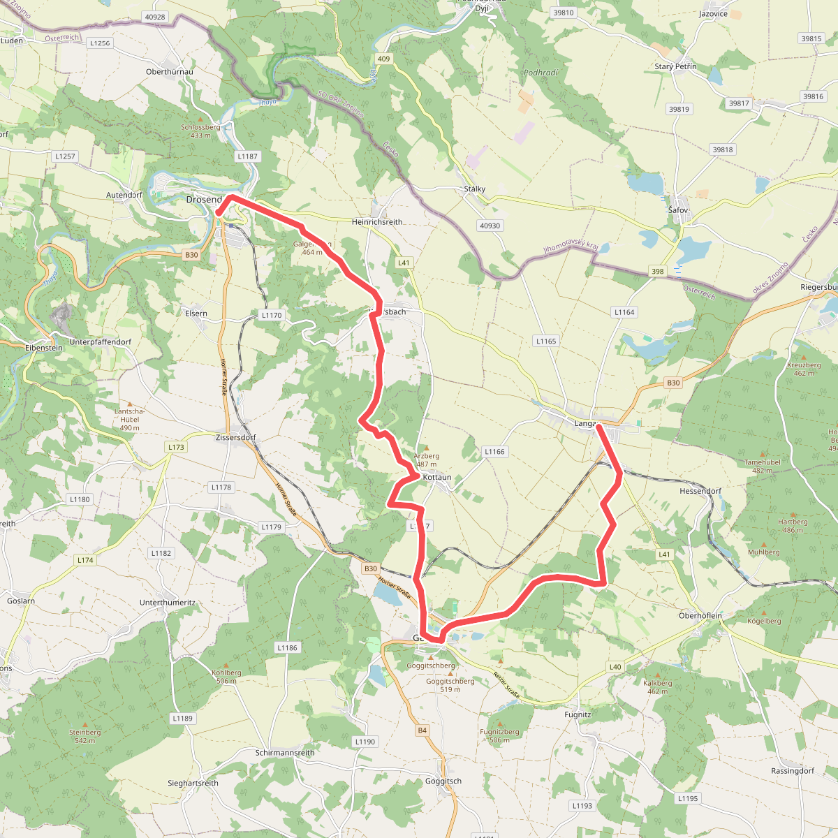
#1. Drosendorf - Langau
Drosendorf-Zissersdorf,Geras,Langau
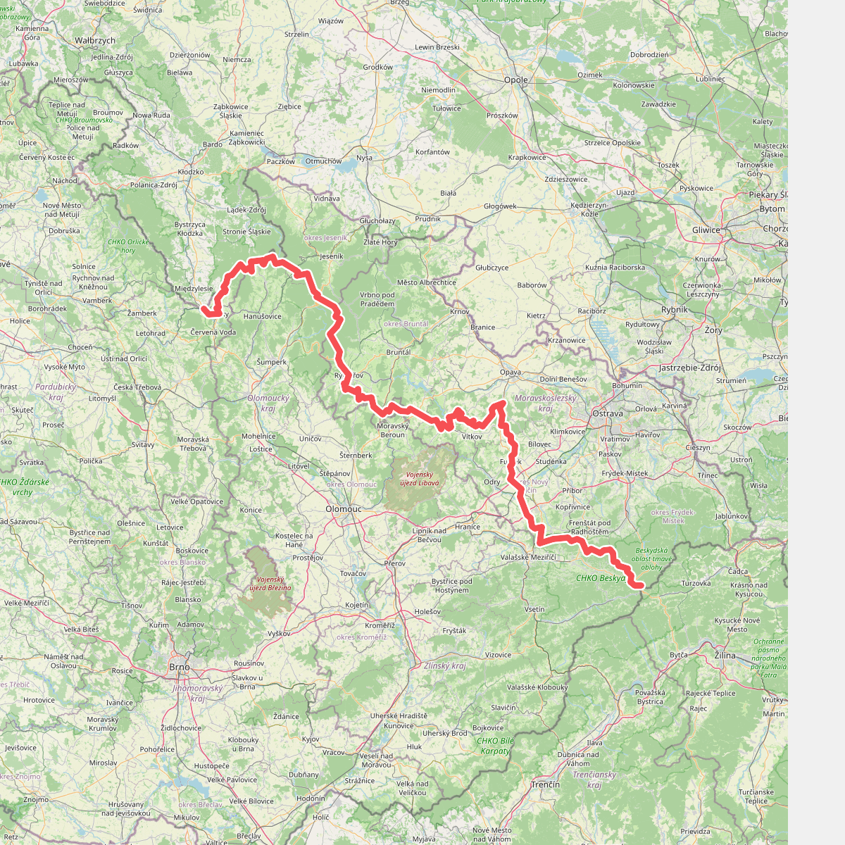
#2. European long distance path E3 - part Czech Republic, Morava
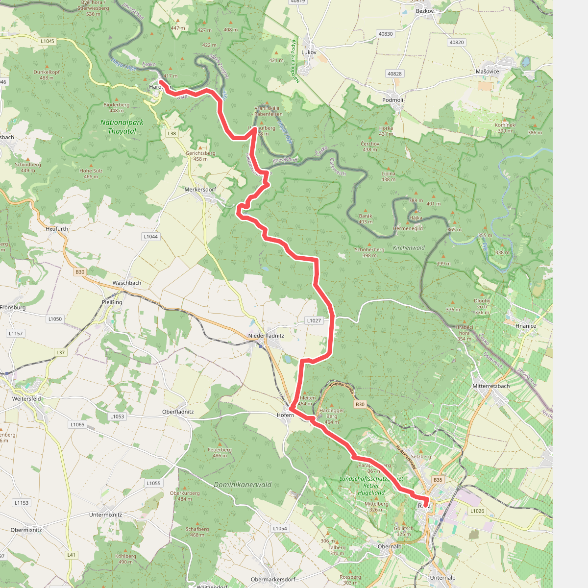
#3. Hardegg - Retz
Hardegg,Retz
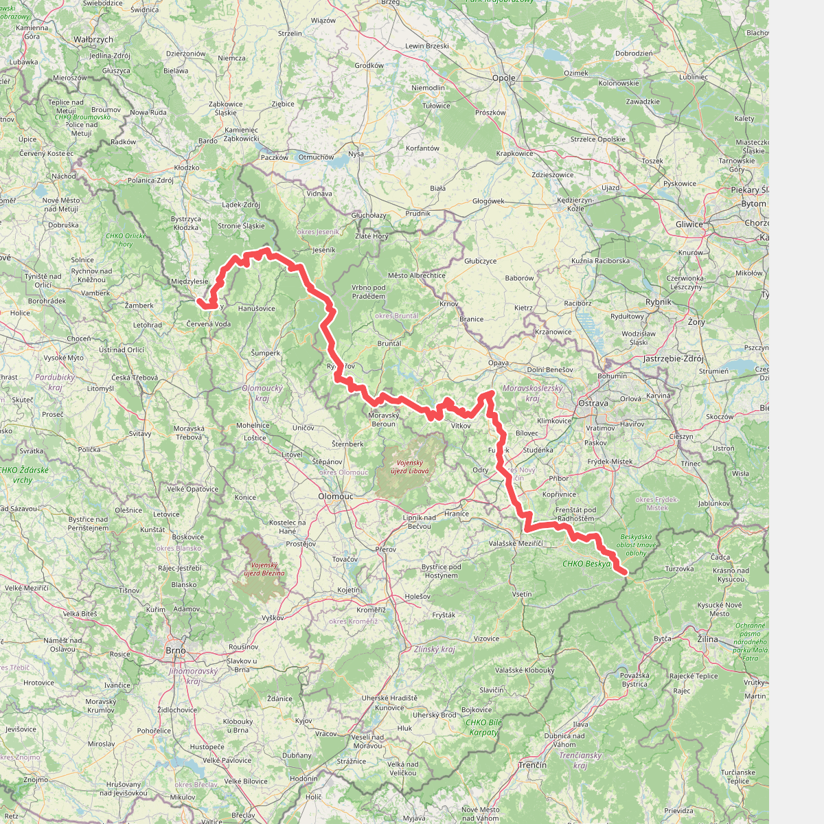
#4. Internationaler Bergwanderweg Eisenach–Budapest (Tschechien Ost)
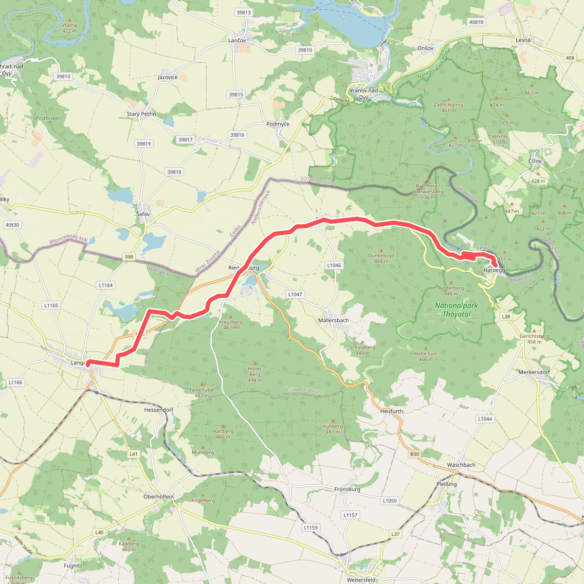
#5. Langau - Hardegg
Langau,Hardegg
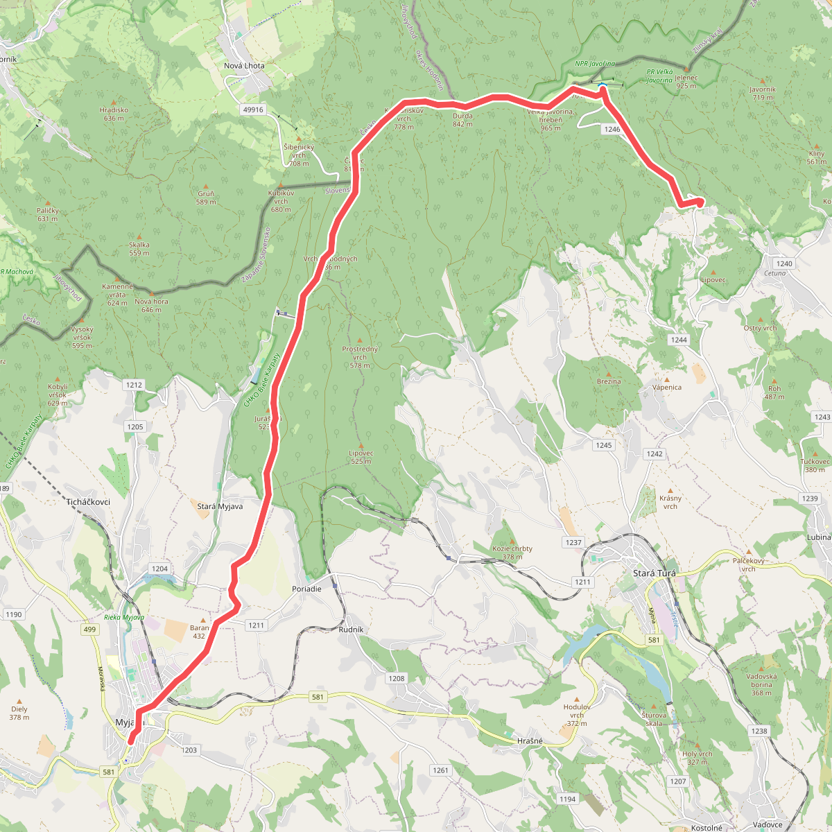
#6. Myjava - U Harustiakov
Myjava,okres Myjava,Nová Lhota,Strání,okres Nové Mesto nad Váhom
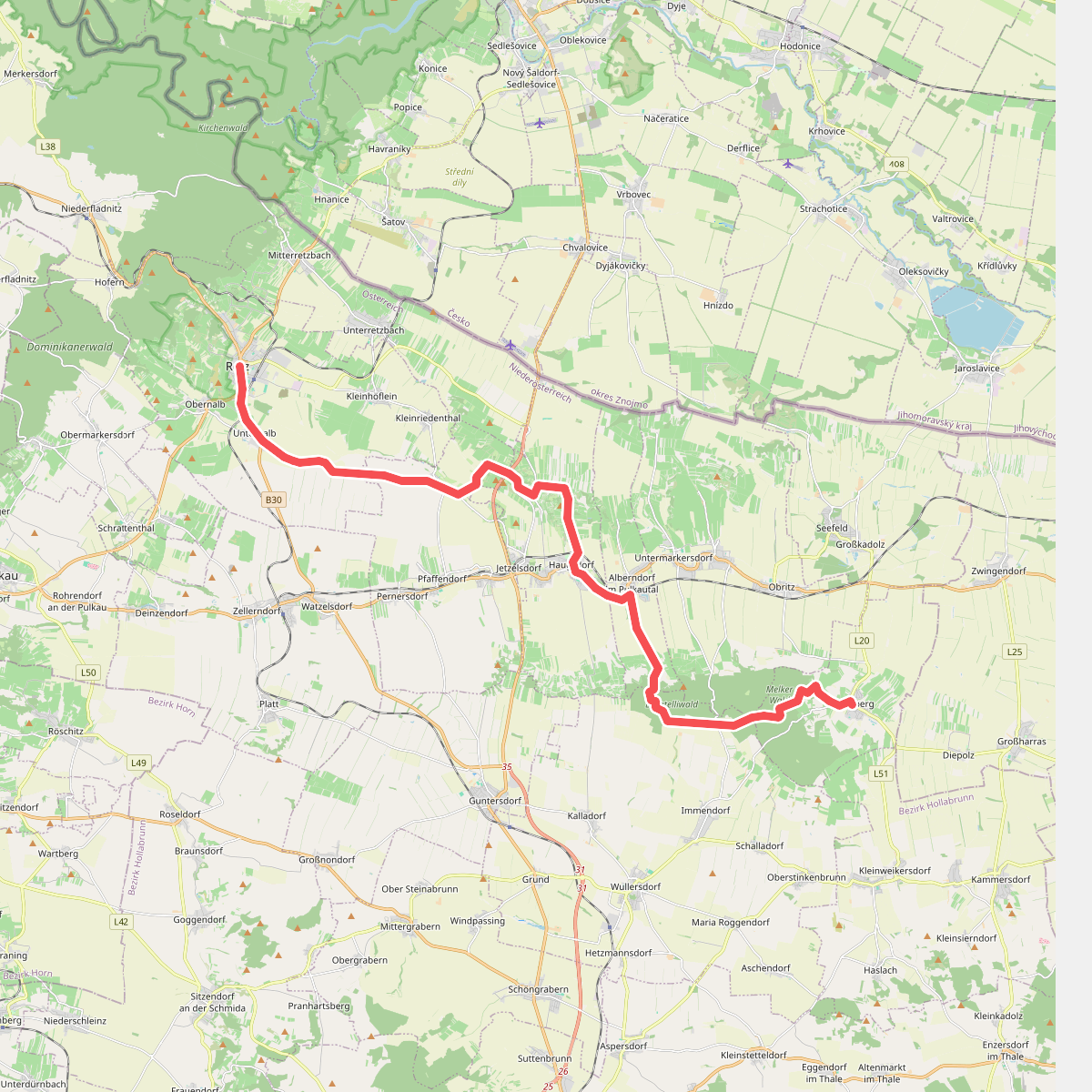
#7. Retz - Mailberg
Retz,Pernersdorf,Haugsdorf,Alberndorf im Pulkautal,Wullersdorf,Mailberg
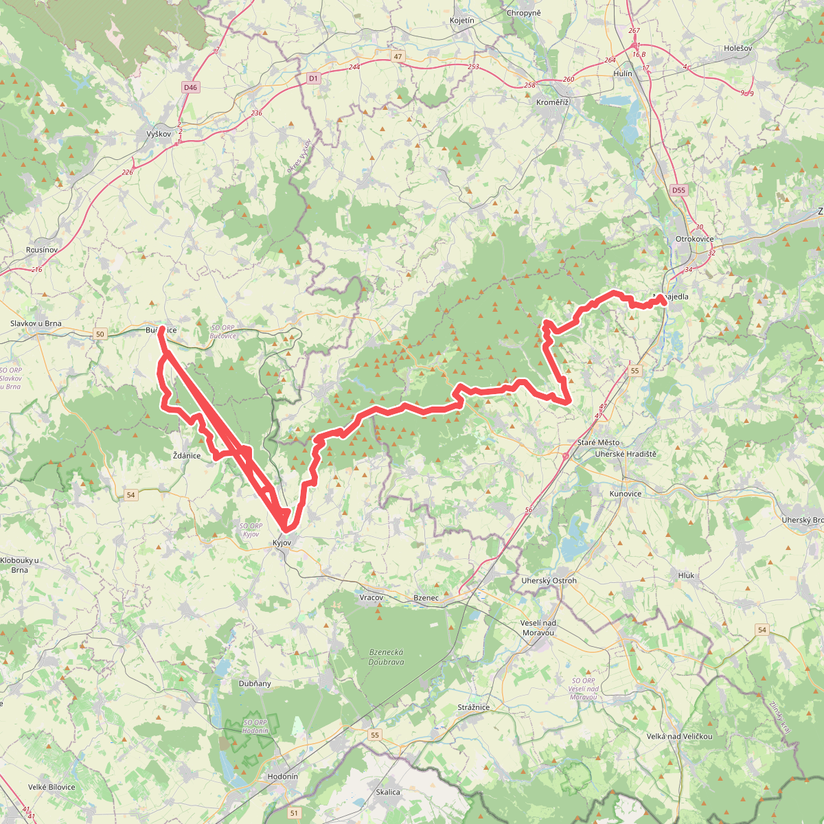
#8. Via Czechia - Centrální (10. Slovácko)
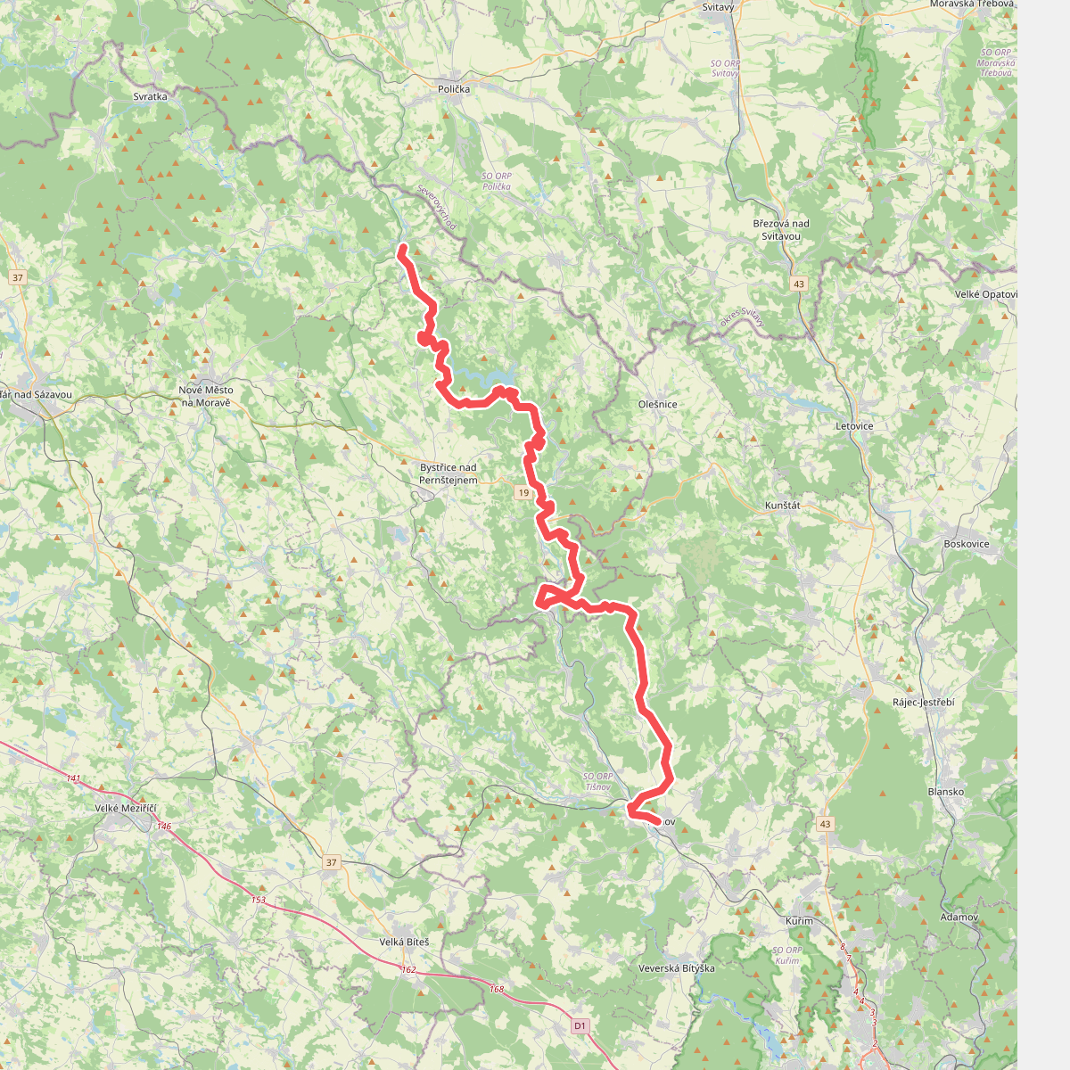
#9. Via Czechia - Centrální (8. Údolí Svratky)
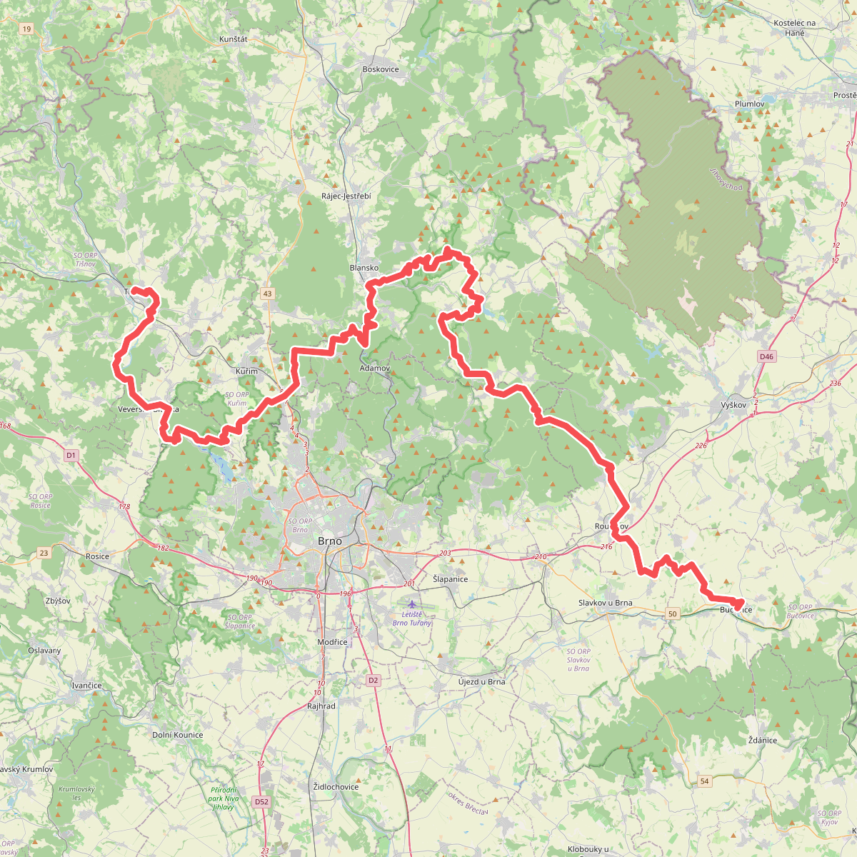
#10. Via Czechia - Centrální (9. Brněnsko a Moravský kras)
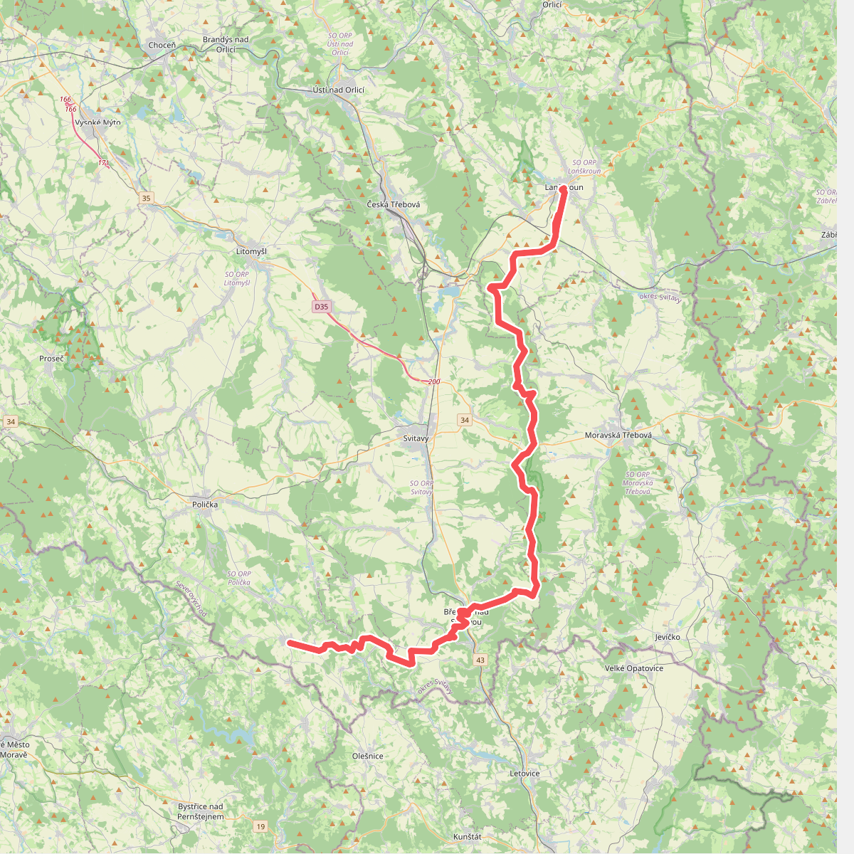
#11. Via Czechia - Českomoravská (3. Českotřebovská vrchovina)