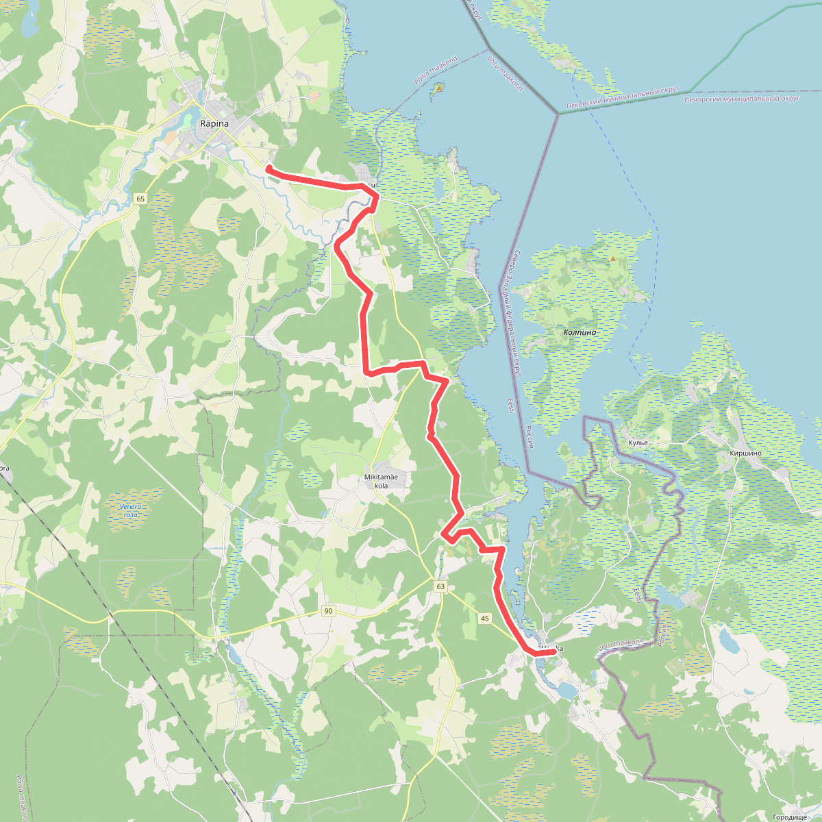
The best hiking routes in Võru County
Discover the best walks in Võru County. 9 routes on the map, with descriptions, photos and GPX.
About Võru County
Võru County in southern Estonia is defined by its glacial topography, where the flat plains of the north give way to a landscape of steep clay hills, deep lake basins, and dense forests. This is not a region of dramatic mountain passes or rocky gorges, but rather a complex maze of small-scale terrain where the view changes every few hundred metres. Walking here means navigating short, frequent climbs and descents, with paths shifting between damp forest floors, sandy tracks, and peat moss.
Read more
About Võru County
Võru County in southern Estonia is defined by its glacial topography, where the flat plains of the north give way to a landscape of steep clay hills, deep lake basins, and dense forests. This is not a region of dramatic mountain passes or rocky gorges, but rather a complex maze of small-scale terrain where the view changes every few hundred metres. Walking here means navigating short, frequent climbs and descents, with paths shifting between damp forest floors, sandy tracks, and peat moss.
Read moreVõru County in southern Estonia is defined by its glacial topography, where the flat plains of the north give way to a landscape of steep clay hills, deep lake basins, and dense forests. This is not a region of dramatic mountain passes or rocky gorges, but rather a complex maze of small-scale terrain where the view changes every few hundred metres. Walking here means navigating short, frequent climbs and descents, with paths shifting between damp forest floors, sandy tracks, and peat moss.
For those seeking the wildest, most fragmented part of this landscape, Karula rahvuspark in the west of the county offers a distinct terrain of kame hills. These small, rounded mounds of gravel and clay were dumped by melting glaciers, creating a chaotic pattern of ridges interspersed with tiny bog lakes. Underfoot, you will mostly find soft forest paths and narrow dirt tracks that wind around the slopes rather than climbing straight over them, keeping the horizon short and enclosed by pine and spruce.
In contrast to the dense canopy of Karula rahvuspark, the wider county features more open agricultural patches on the higher plateaus, though these are still bordered by thick woodland. In late October, the deciduous trees on the valley slopes drop their leaves, revealing the true shape of the ridges and the dark water of the lakes below. While the well-known viewing points can attract local visitors, the deeper forest tracks remain quiet, offering a straightforward walking experience focused on woodland and glacial landforms.
Nature areas in Võru County
Zoom or pan for more routes
Hiking routes in Võru County (9)
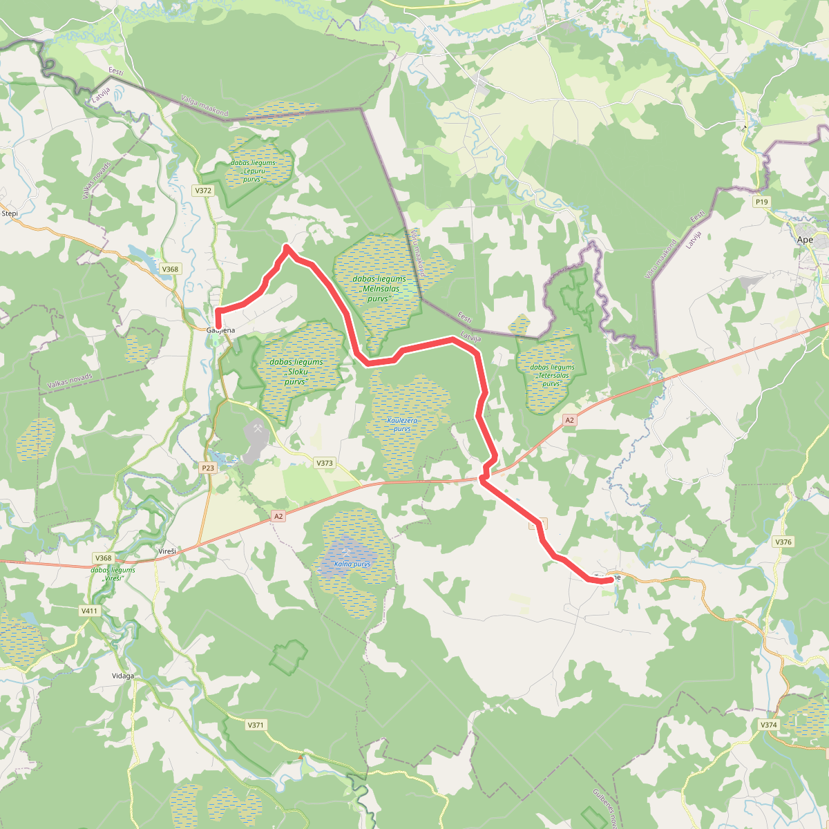
#1. E11 section 13: Gaujiena - Trapene
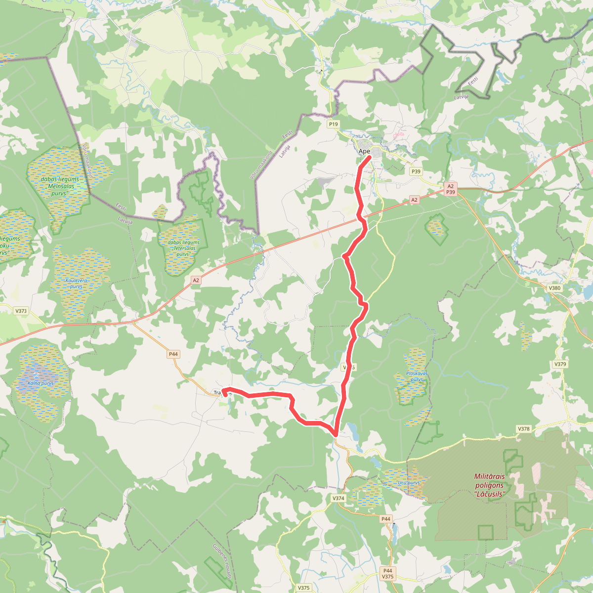
#2. E11 section 14: Trapene - Ape
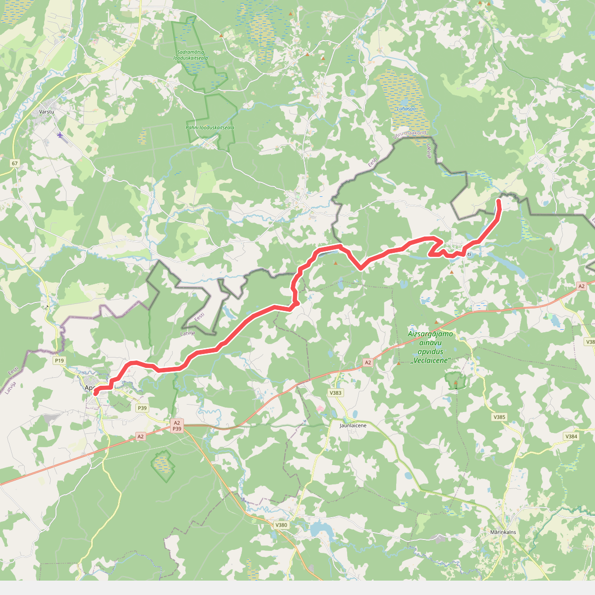
#3. E11 section 15: Ape – Paganamaa – Korneti – Latvijas/Igaunijas robeža
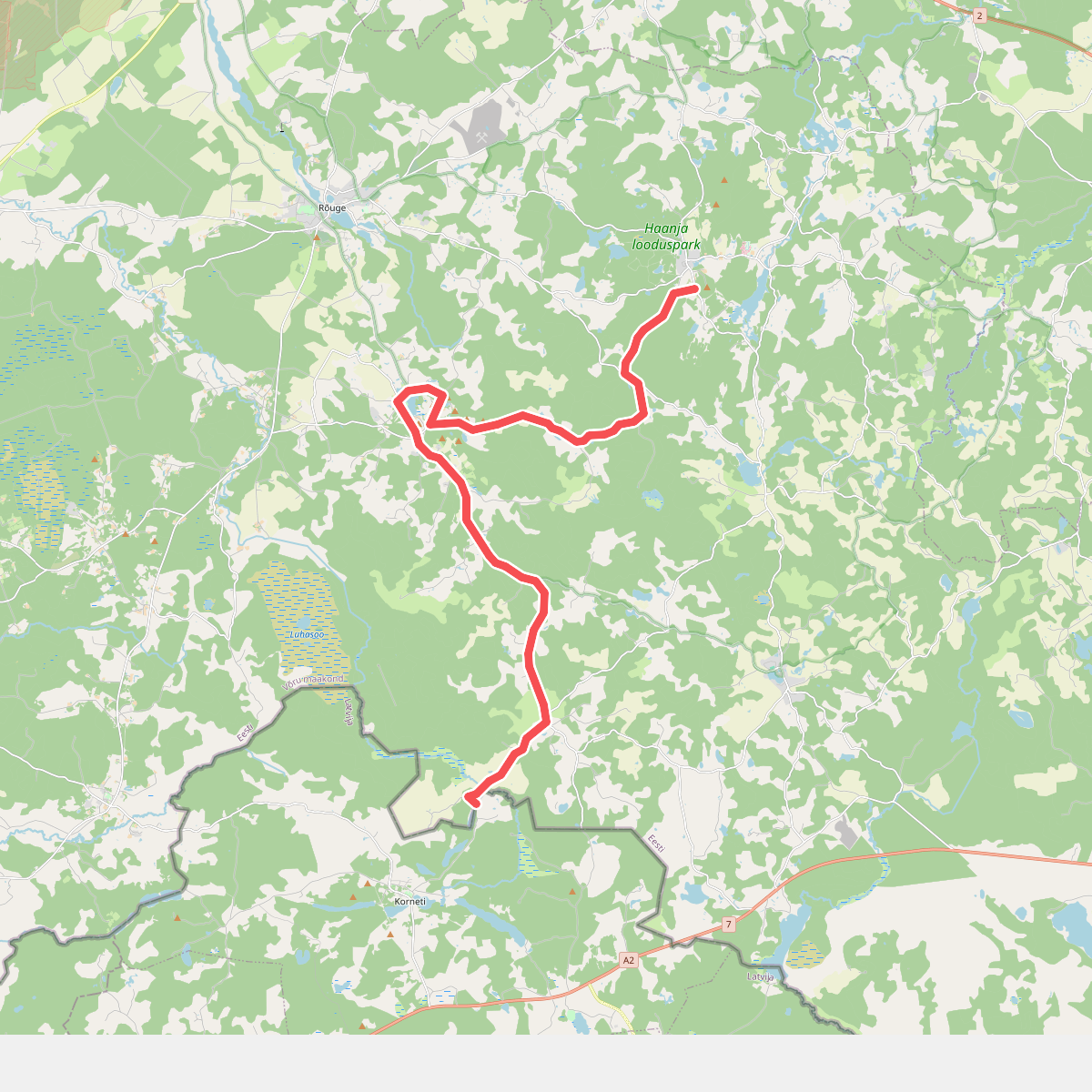
#4. E11 section 16: Loogamäe - Haanja (Suur Munamägi)
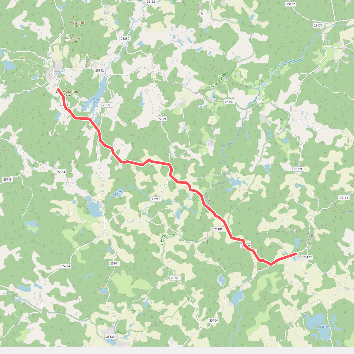
#5. E11 section 17: Haanja (Suur Munamägi)‒Tsiistre
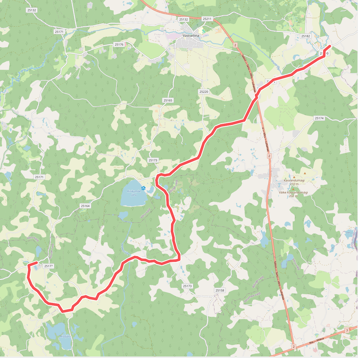
#6. E11 section 18: Tsiistre‒Vana-Vastseliina
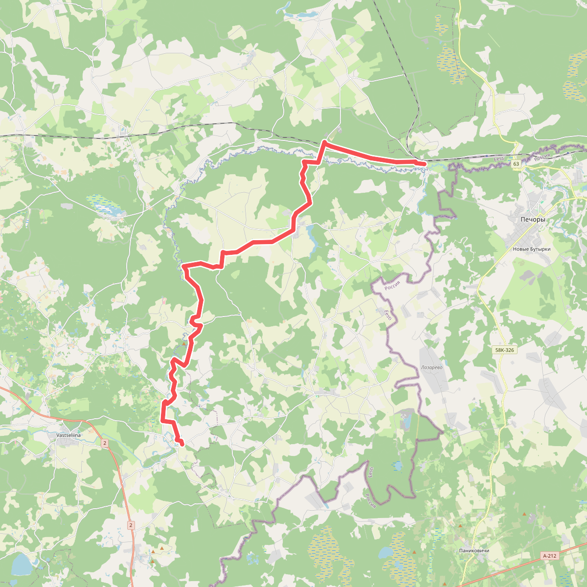
#7. E11 section 19: Vana-Vastseliina‒Kolodavitsa
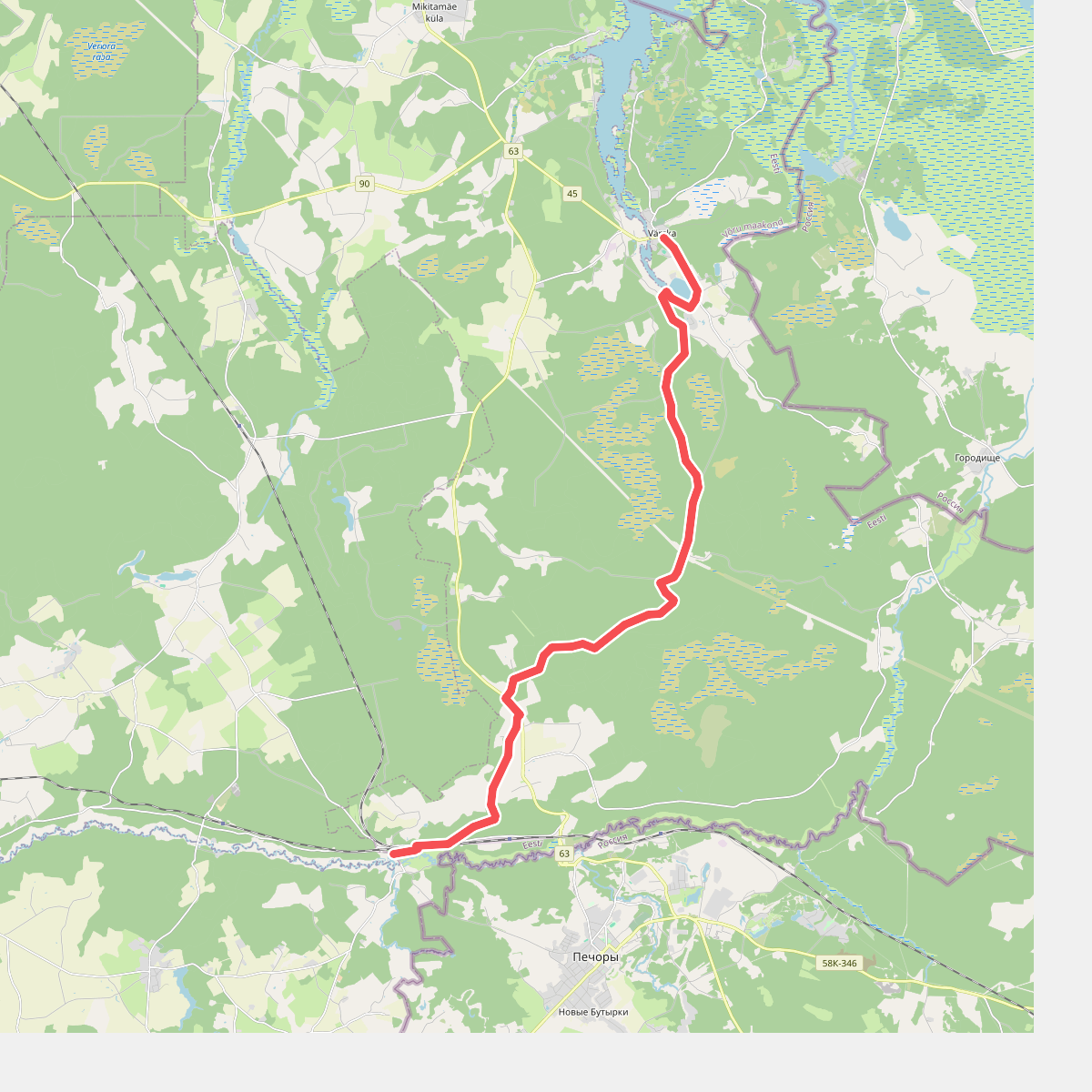
#8. E11 section 20: Vana-Vastseliina‒Kolodavitsa