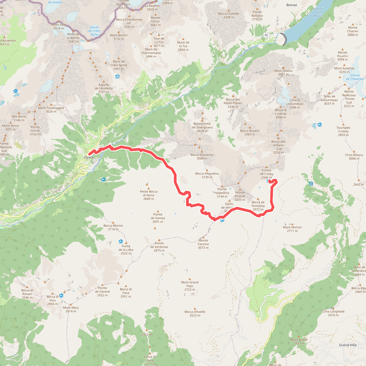
The best hiking routes in Aosta Valley
Discover the best walks in Aosta Valley. 281 routes on the map, with descriptions, photos and GPX.
About Aosta Valley
The Aosta Valley is defined by extreme verticality, where deep glacial troughs cut between some of the highest rock walls in Europe. For walkers, the primary choice lies between the steep, forested lateral valleys that lead to high alpine pastures, and the stark, rock-strewn terrain of the high-altitude protected zones. Underfoot, paths transition rapidly from soft larch needle loam in the lower woods to loose gneiss scree and rough granite slabs above the treeline.
Read more
About Aosta Valley
The Aosta Valley is defined by extreme verticality, where deep glacial troughs cut between some of the highest rock walls in Europe. For walkers, the primary choice lies between the steep, forested lateral valleys that lead to high alpine pastures, and the stark, rock-strewn terrain of the high-altitude protected zones. Underfoot, paths transition rapidly from soft larch needle loam in the lower woods to loose gneiss scree and rough granite slabs above the treeline.
Read moreThe Aosta Valley is defined by extreme verticality, where deep glacial troughs cut between some of the highest rock walls in Europe. For walkers, the primary choice lies between the steep, forested lateral valleys that lead to high alpine pastures, and the stark, rock-strewn terrain of the high-altitude protected zones. Underfoot, paths transition rapidly from soft larch needle loam in the lower woods to loose gneiss scree and rough granite slabs above the treeline.
In Parco Nazionale Gran Paradiso, the landscape is shaped by active glaciation and centuries of pastoral grazing, leaving a network of stone-paved hunting roads and steep mule tracks. This area offers rugged, high-altitude walking where you will cross boulder fields and glacial moraines, often within sight of steep ice falls. It contrasts sharply with the gentler, wider valley floors where farming remains active, though even these lower trails require steady footing on exposed gravel and stone steps.
By October, the larch forests in the side valleys turn a deep gold, contrasting with the early snow on the high passes. While the main valley floor carries heavy transit infrastructure, the walking trails quickly climb out of this noise into quiet, steep terrain. This is not a region for gentle, rolling strolls; expect significant elevation gain on almost every route, where even the shorter paths demand sustained uphill effort on hard, uneven ground.
Nature areas in Aosta Valley
Zoom or pan for more routes
Hiking routes in Aosta Valley (281)
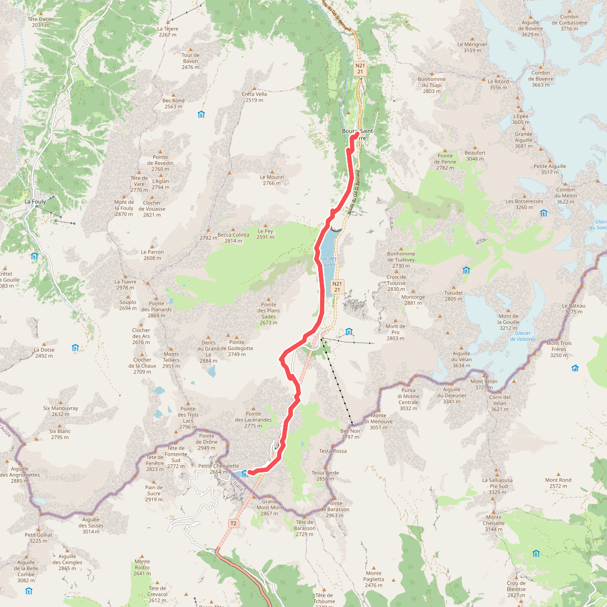
#1. 33-Chemin des cols alpins
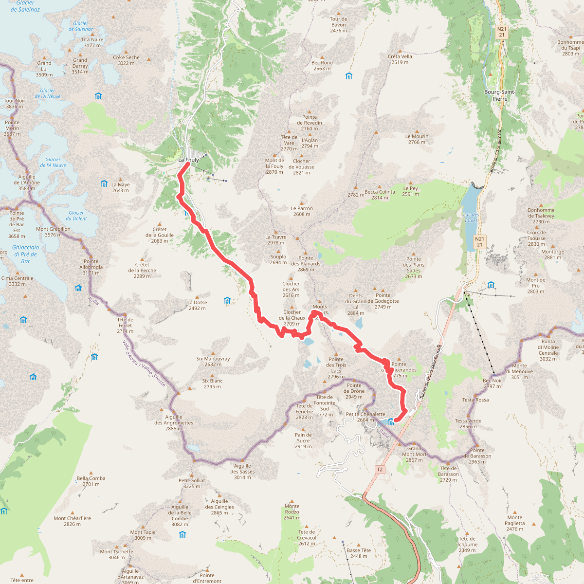
#2. 34-Chemin des cols alpins
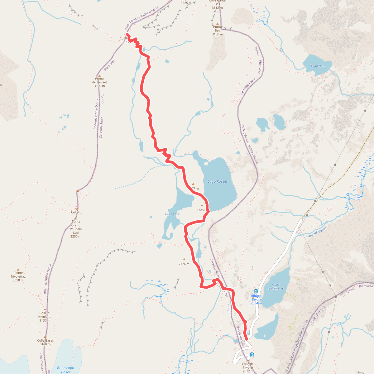
#3. 3C, Col Rosset
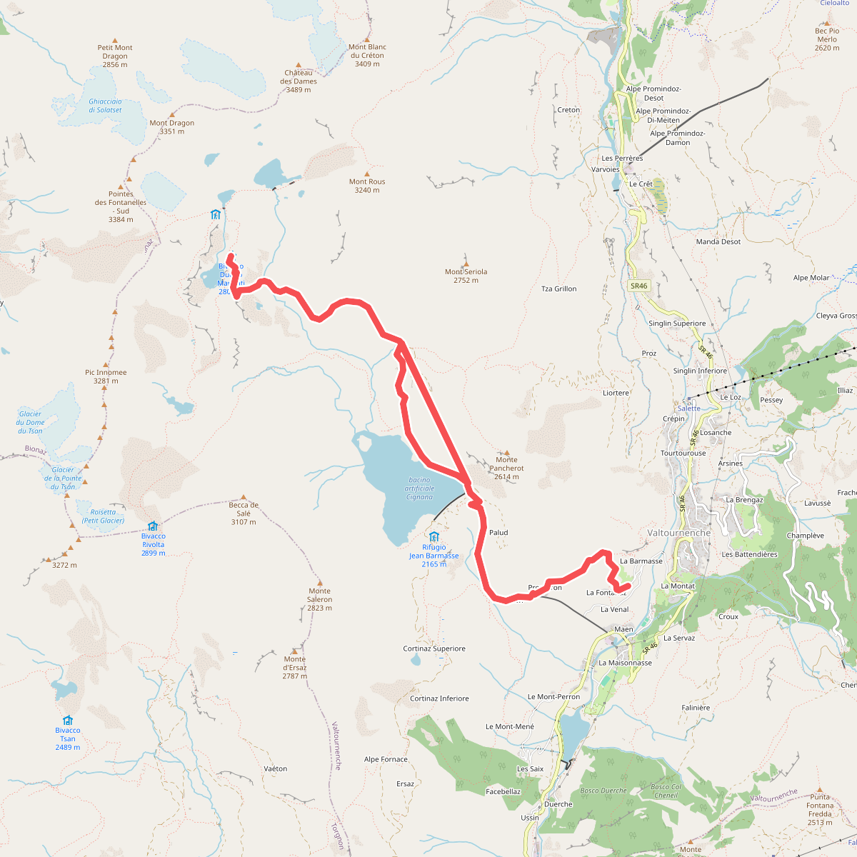
#4. Accesso Bivacco Manenti
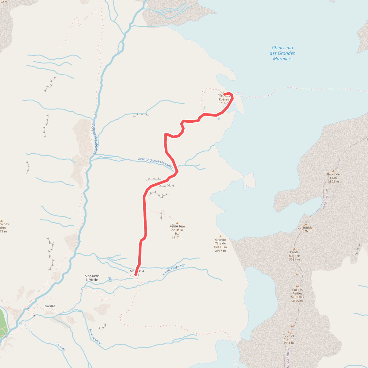
#5. Accesso Bivacco Tete Des Roeses Da Alpe Bella Tsa
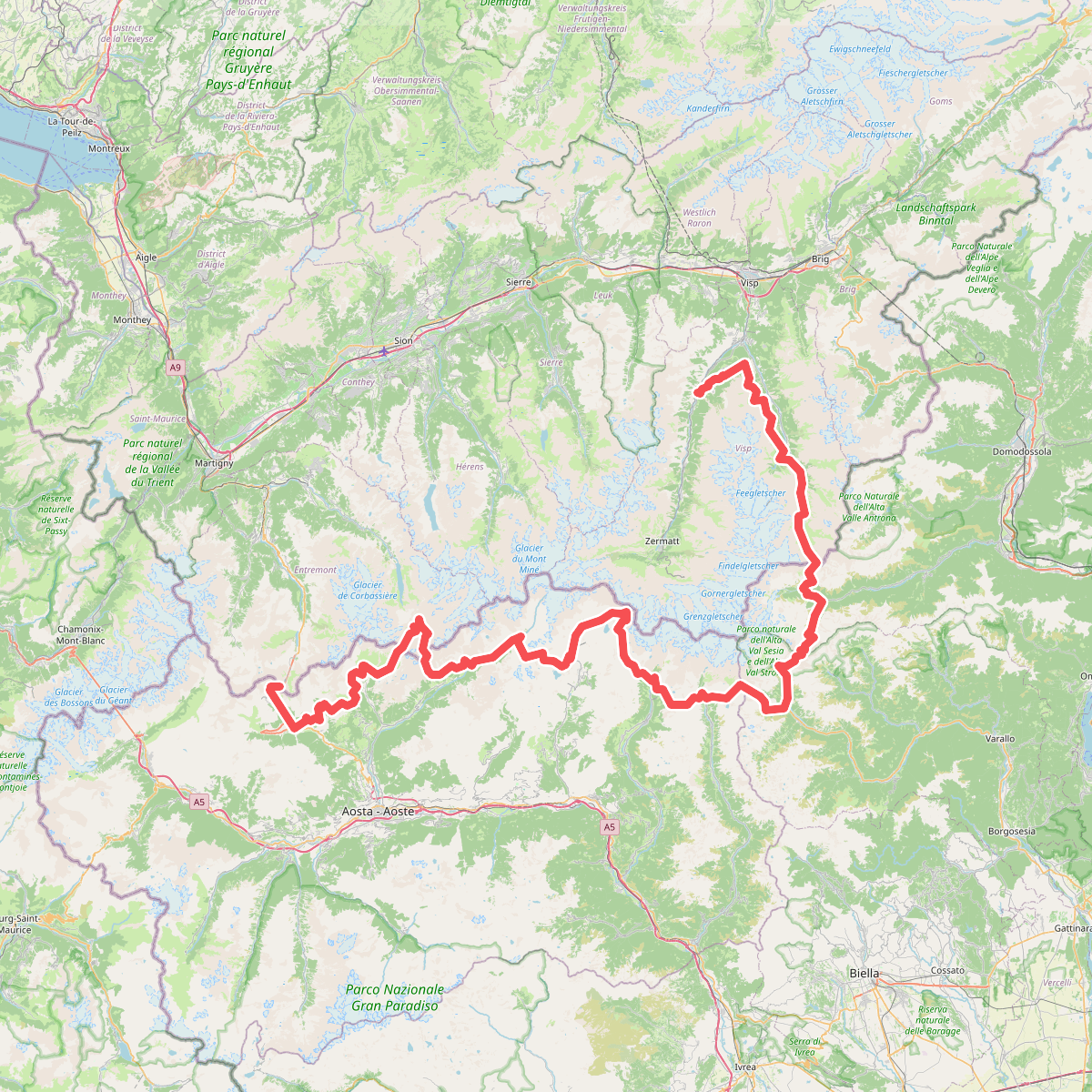
#6. AlpTrekking · AT
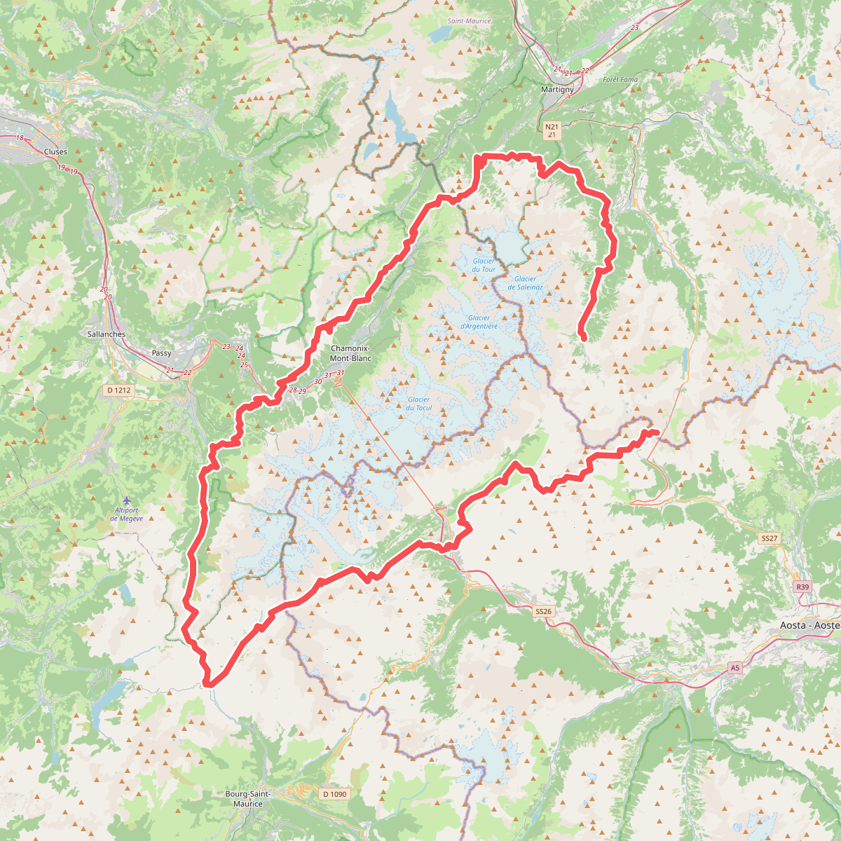
#7. AlpTrekking · AT
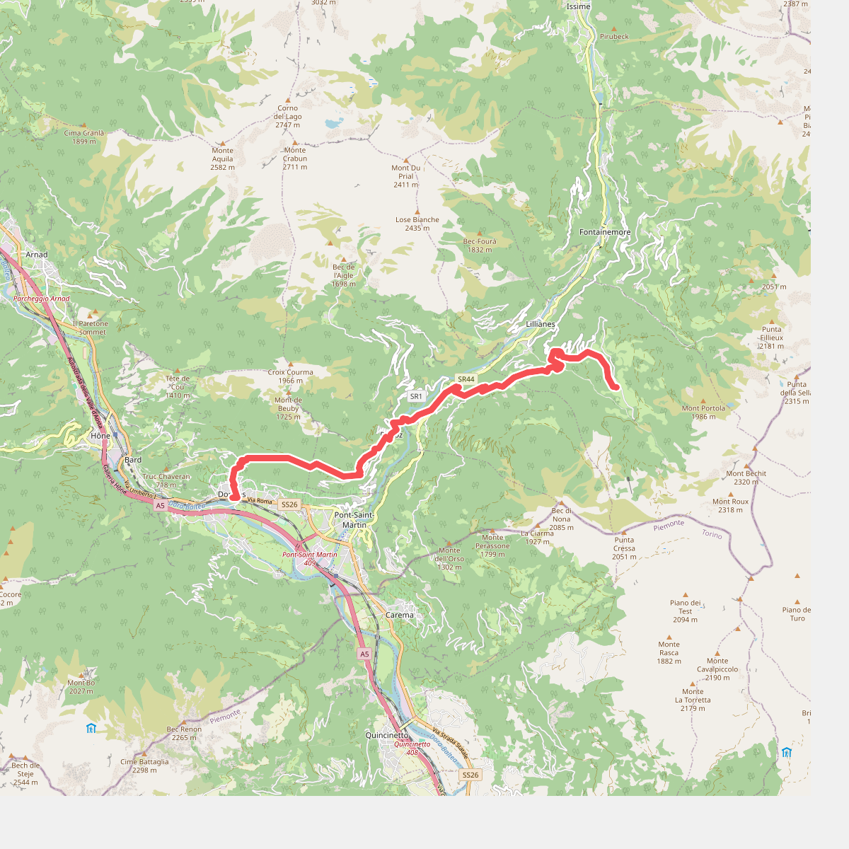
#8. Alta Via 1, Etappe 1 - Donna’s-Sassa
Donnas,Perloz,Lillianes
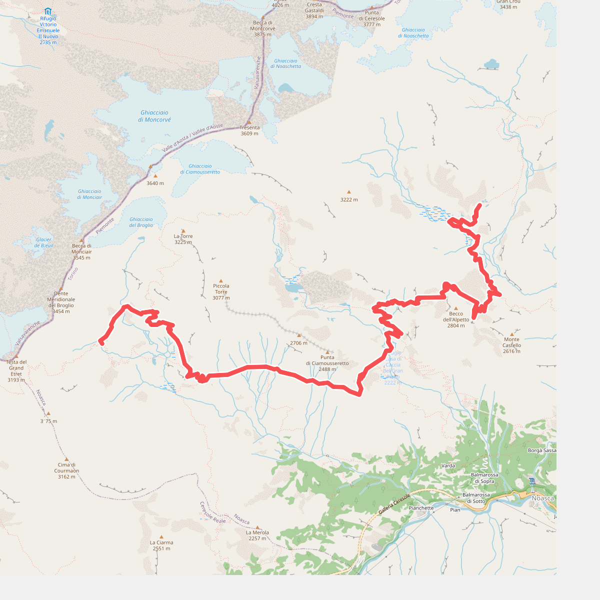
#9. Alta Via Canavesana
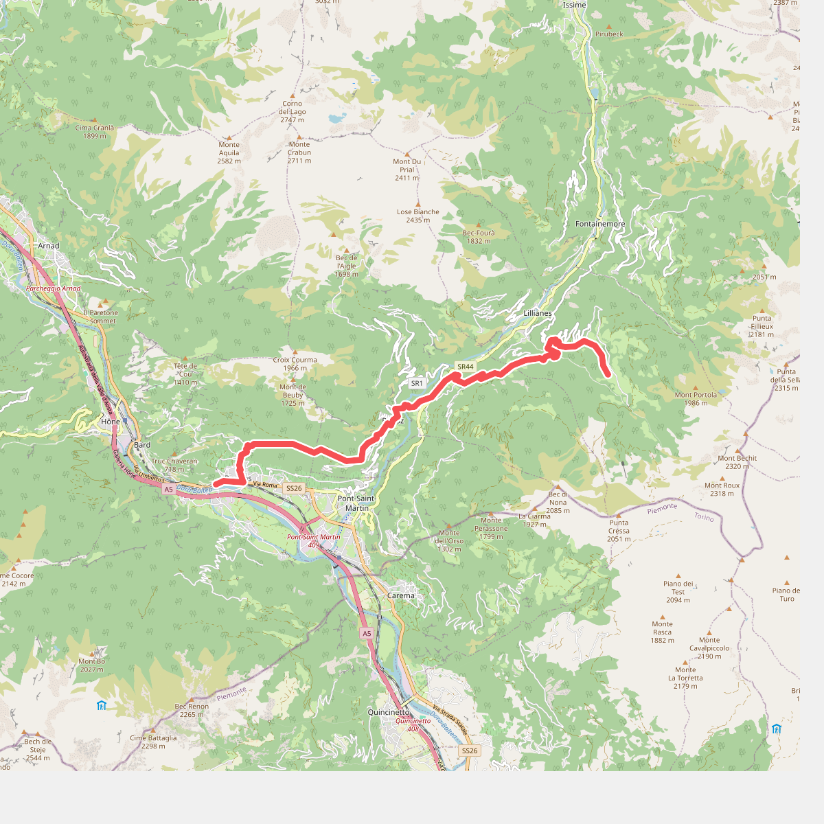
#10. Alta Via n. 1 della Valle d'Aosta - Tappa 1
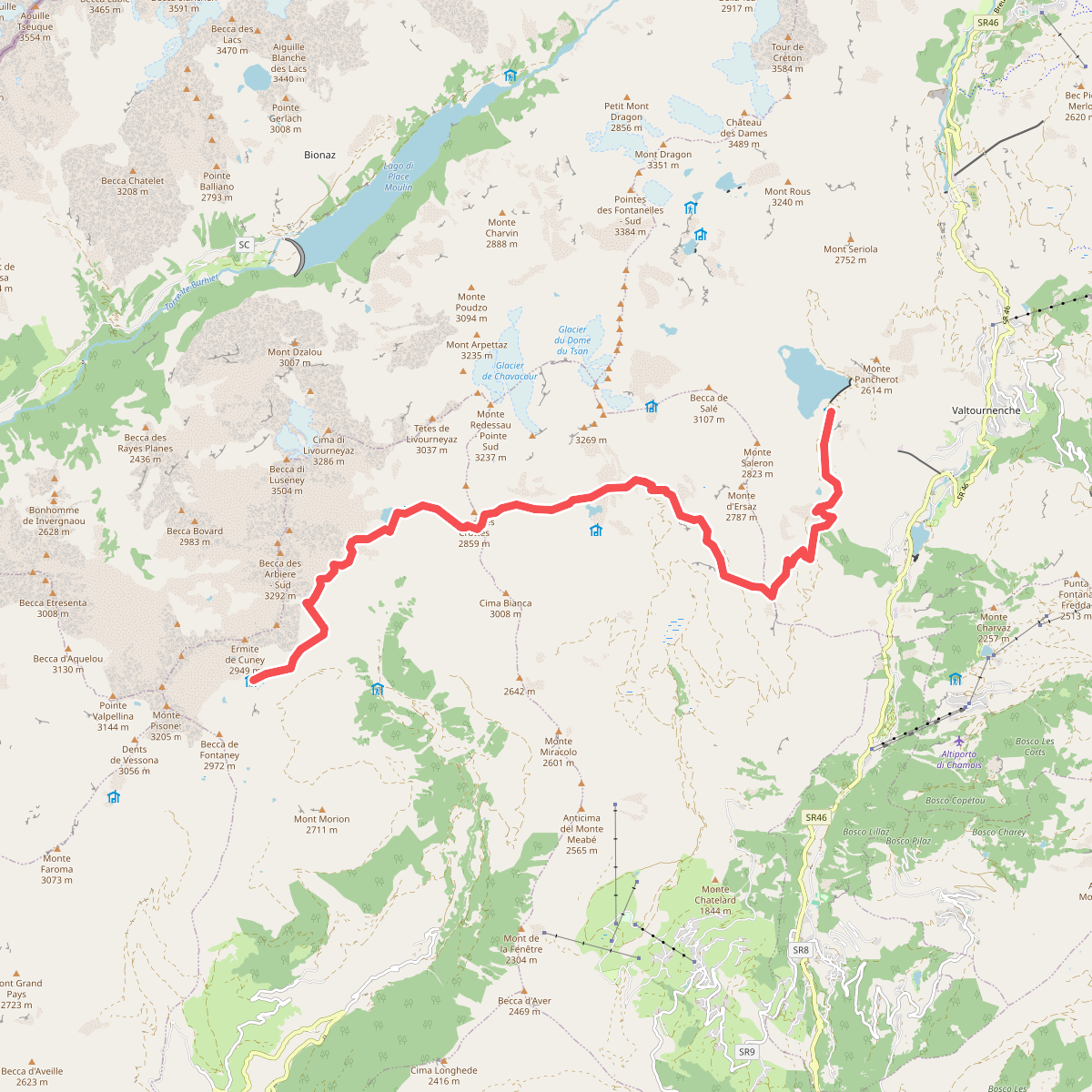
#11. Alta Via n. 1 della Valle d'Aosta - Tappa 10